Loan Plantation
Wood, Forest in Roxburghshire
Scotland
Loan Plantation
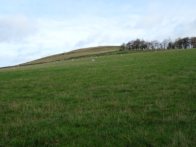
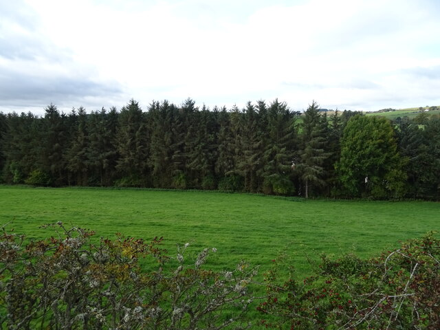
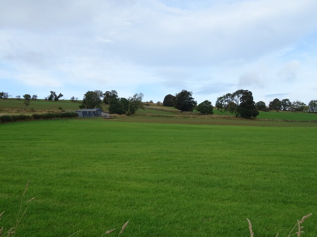
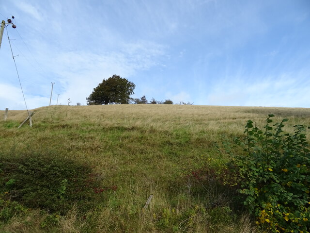
Loan Plantation is a picturesque woodland located in Roxburghshire, Scotland. Spanning an area of approximately 200 acres, this enchanting forest is known for its dense, well-preserved woodlands and diverse range of flora and fauna.
The plantation is primarily composed of a mixture of broadleaf and coniferous trees, including oak, beech, pine, and spruce, creating a harmonious blend of colors throughout the seasons. The tall, majestic trees offer a tranquil and serene atmosphere, making it a popular destination for nature enthusiasts, hikers, and photographers.
Visitors to Loan Plantation can enjoy a network of well-maintained trails that meander through the forest, providing opportunities for leisurely walks, bird-watching, and wildlife spotting. The forest is home to a wide variety of animal species, including red squirrels, roe deer, and numerous bird species such as woodpeckers and owls. For those interested in botany, the plantation boasts an impressive array of wildflowers, mosses, and ferns, adding to its natural beauty.
The management of Loan Plantation ensures the preservation of its ecological value through sustainable practices, including selective tree felling and reforestation efforts. This approach not only protects the forest's biodiversity but also provides a sustainable source of timber for local industries.
Overall, Loan Plantation in Roxburghshire offers a serene escape into nature, where visitors can immerse themselves in the beauty of a well-preserved woodland, explore its trails, and discover the rich diversity of flora and fauna that call this forest their home.
If you have any feedback on the listing, please let us know in the comments section below.
Loan Plantation Images
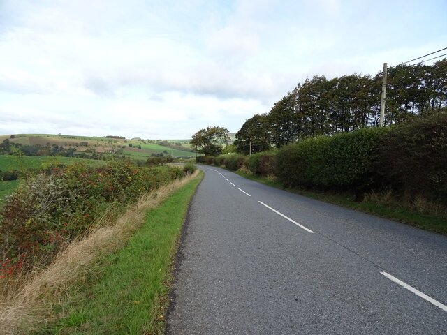
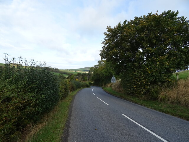
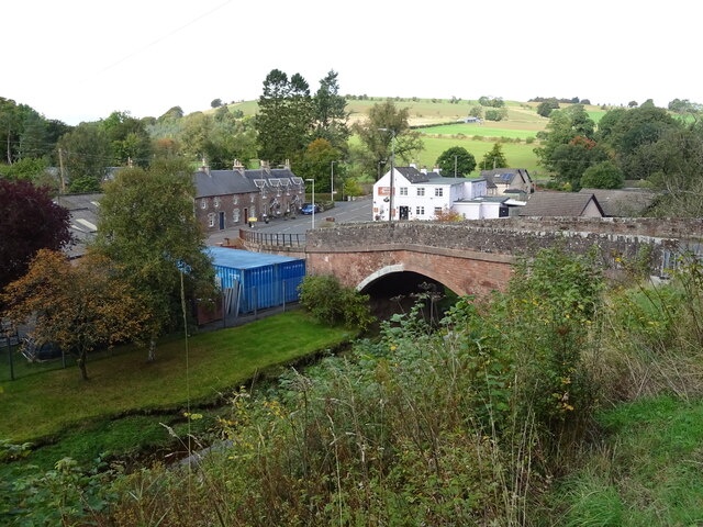
Images are sourced within 2km of 55.406272/-2.6611963 or Grid Reference NT5812. Thanks to Geograph Open Source API. All images are credited.

Loan Plantation is located at Grid Ref: NT5812 (Lat: 55.406272, Lng: -2.6611963)
Unitary Authority: The Scottish Borders
Police Authority: The Lothians and Scottish Borders
What 3 Words
///bother.radiates.flooding. Near Hawick, Scottish Borders
Related Wikis

Bonchester Bridge
Bonchester Bridge (Scots Binster Brig) is a village in Roxburghshire, within the Scottish Borders area of Scotland, lying on the Rule Water, six miles...

Hallrule
Hallrule is a hamlet on the B6357 road, in the Scottish Borders area of Scotland, on the Rule Water, near Abbotrule, Bedrule Bonchester Bridge, Denholm...

Hobkirk
Hobkirk (Scottish Gaelic: Eaglais Ruail) is a village and civil parish in the Scottish Borders area of Scotland, by the Rule Water, south-west of Jedburgh...

Abbotrule
Abbotrule is a hamlet south of the B6357 road, in the Scottish Borders area of Scotland, on Rule Burn, east of the Rule Water. Places nearby include Bedrule...
Nearby Amenities
Located within 500m of 55.406272,-2.6611963Have you been to Loan Plantation?
Leave your review of Loan Plantation below (or comments, questions and feedback).