Upper Sclenty Plantation
Wood, Forest in Roxburghshire
Scotland
Upper Sclenty Plantation
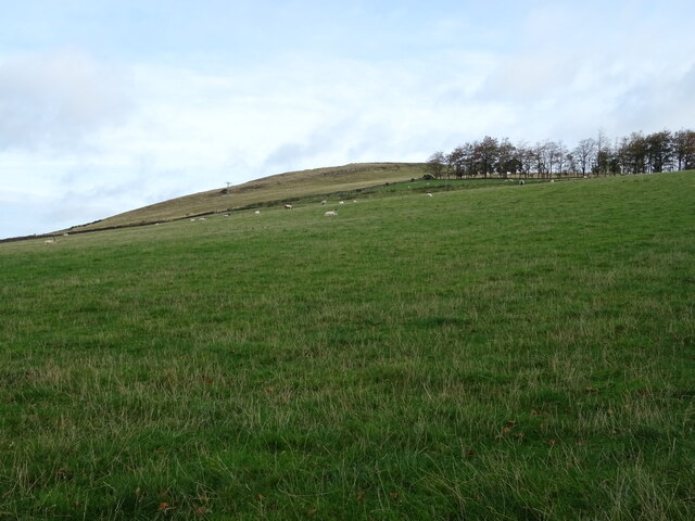
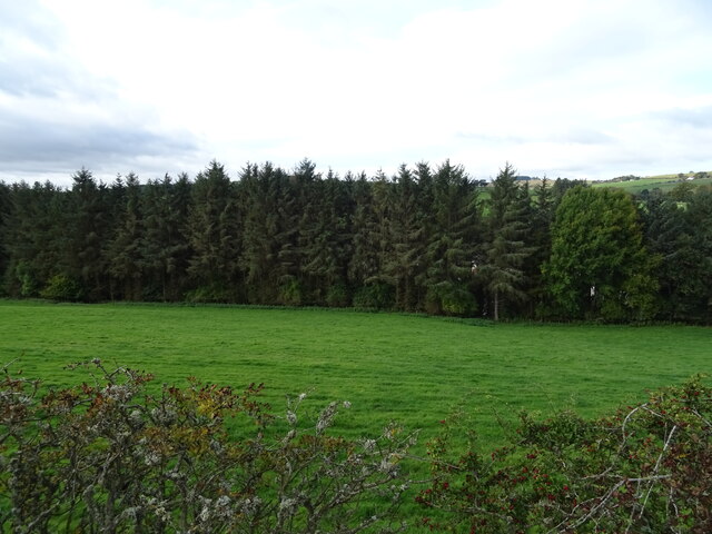
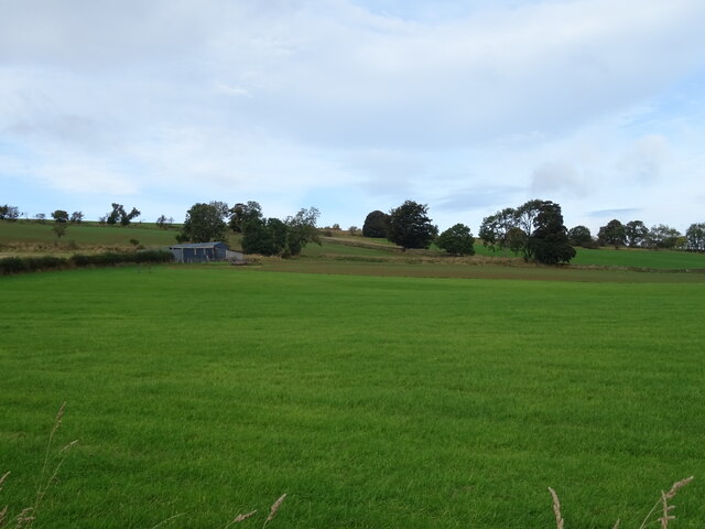
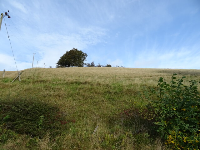
Upper Sclenty Plantation is a picturesque woodland located in Roxburghshire, a historic county in the southern part of Scotland. Situated near the village of Wood, this forested area encompasses approximately 200 acres of land. It is known for its natural beauty, diverse flora, and tranquil atmosphere.
The plantation consists mainly of mature broadleaf trees, including oak, beech, and birch, which provide a rich canopy overhead. These trees create a vibrant and vibrant display of colors during the autumn season. The woodland is also home to a variety of wildlife, such as red squirrels, roe deer, and a diverse range of bird species, making it a popular destination for nature enthusiasts and birdwatchers.
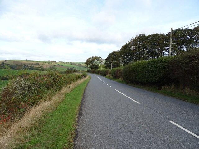
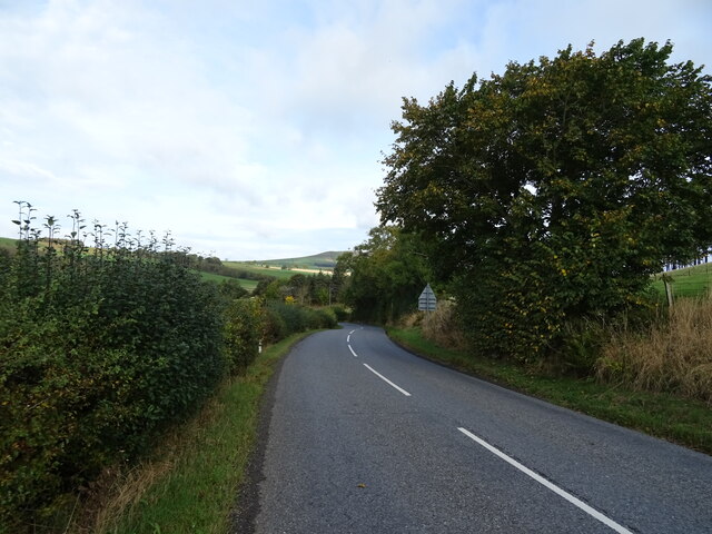
Visitors to Upper Sclenty Plantation can enjoy a network of well-maintained walking trails that meander through the woodland, offering stunning views and opportunities to observe the local wildlife. The paths are suitable for all ages and abilities, making it an ideal location for a leisurely stroll or a family outing.
The plantation is managed by a local conservation organization, which ensures the preservation of the woodland's natural habitat and promotes sustainable practices. They regularly organize educational events and guided tours to raise awareness about the importance of preserving this unique ecosystem.
Overall, Upper Sclenty Plantation is a serene and captivating woodland, offering a tranquil escape from the hustle and bustle of everyday life. Whether one is seeking a peaceful walk, a chance to reconnect with nature, or an opportunity to learn more about the local environment, this woodland sanctuary provides an enriching experience for all who visit.
If you have any feedback on the listing, please let us know in the comments section below.
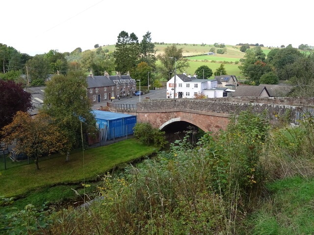
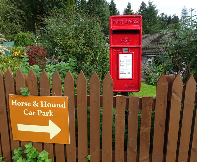
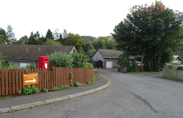
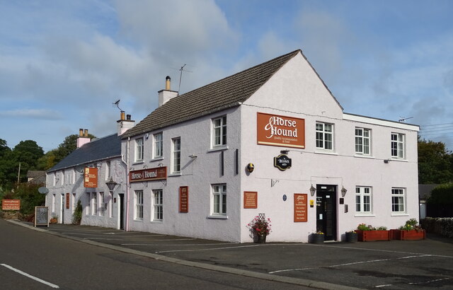
Upper Sclenty Plantation Images
Images are sourced within 2km of 55.405857/-2.6631792 or Grid Reference NT5812. Thanks to Geograph Open Source API. All images are credited.

Upper Sclenty Plantation is located at Grid Ref: NT5812 (Lat: 55.405857, Lng: -2.6631792)
Unitary Authority: The Scottish Borders
Police Authority: The Lothians and Scottish Borders
What 3 Words
///dance.decisions.years. Near Hawick, Scottish Borders
Related Wikis

Bonchester Bridge
Bonchester Bridge (Scots Binster Brig) is a village in Roxburghshire, within the Scottish Borders area of Scotland, lying on the Rule Water, six miles...

Hallrule
Hallrule is a hamlet on the B6357 road, in the Scottish Borders area of Scotland, on the Rule Water, near Abbotrule, Bedrule Bonchester Bridge, Denholm...

Hobkirk
Hobkirk (Scottish Gaelic: Eaglais Ruail) is a village and civil parish in the Scottish Borders area of Scotland, by the Rule Water, south-west of Jedburgh...

Abbotrule
Abbotrule is a hamlet south of the B6357 road, in the Scottish Borders area of Scotland, on Rule Burn, east of the Rule Water. Places nearby include Bedrule...
Nearby Amenities
Located within 500m of 55.405857,-2.6631792Have you been to Upper Sclenty Plantation?
Leave your review of Upper Sclenty Plantation below (or comments, questions and feedback).