Dungeon Plantation
Wood, Forest in Roxburghshire
Scotland
Dungeon Plantation
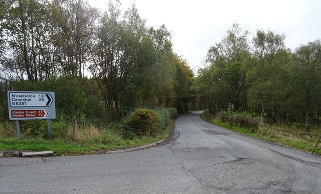
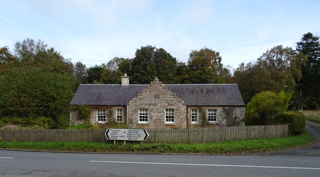
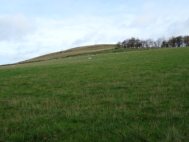
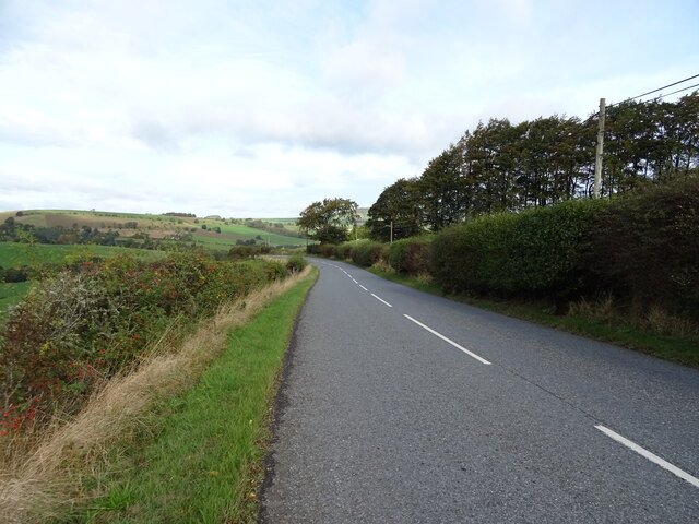
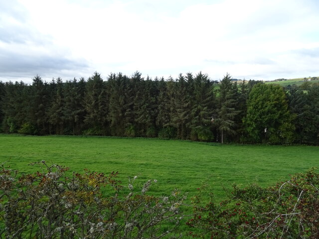
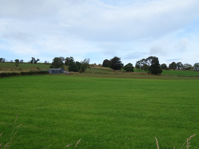
Dungeon Plantation, located in Roxburghshire, is a sprawling wood and forest area that covers a vast expanse of land. With an approximate size of several thousand acres, it is a significant natural treasure in the region. The plantation is situated in a rural setting, surrounded by rolling hills and picturesque landscapes.
The woodlands of Dungeon Plantation are home to a diverse range of flora and fauna, creating a rich ecosystem. Towering oak trees dominate the landscape, providing a dense canopy that allows only speckles of sunlight to filter through. Other tree species such as beech, birch, and ash can also be found, adding to the plantation's biodiversity.
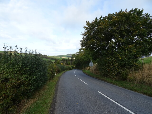
For nature enthusiasts, Dungeon Plantation offers an ideal location for peaceful walks and exploration. Numerous well-maintained trails wind through the forest, providing visitors with the opportunity to immerse themselves in the tranquility of nature. The woodland paths are accompanied by the soothing sound of chirping birds, while squirrels and rabbits scamper through the undergrowth.
The forest also serves as a habitat for various wildlife species. Roe deer can occasionally be spotted grazing among the trees, while foxes and badgers make their homes within the plantation's boundaries. The diverse range of bird species attracts birdwatchers from far and wide, who come to catch glimpses of rare and migratory birds.
Dungeon Plantation, Roxburghshire, is a haven for nature lovers, offering a unique and immersive experience in the heart of Scotland's breathtaking countryside.
If you have any feedback on the listing, please let us know in the comments section below.
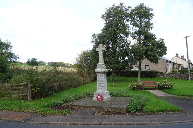
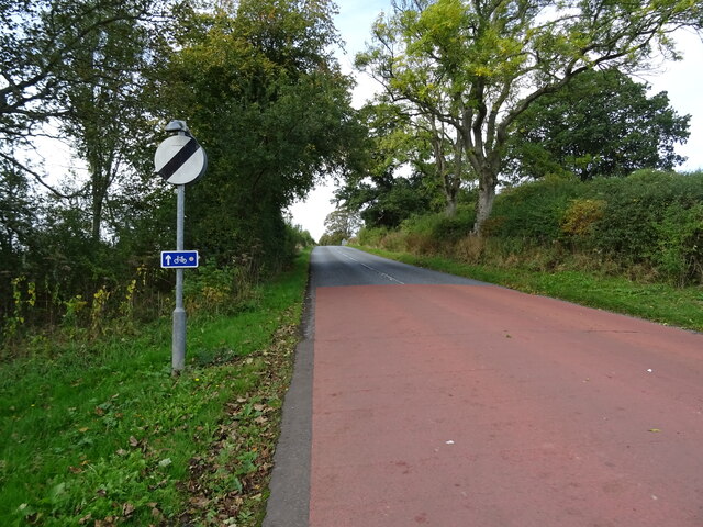
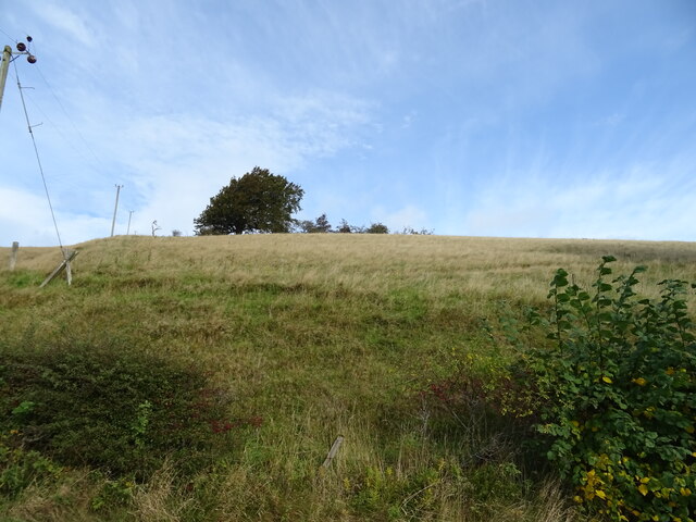
Dungeon Plantation Images
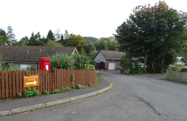
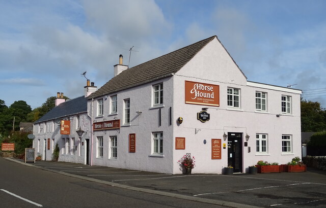
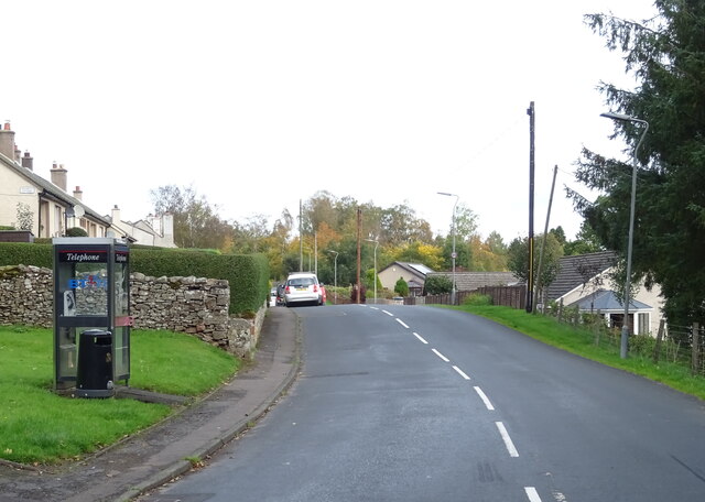
Images are sourced within 2km of 55.404381/-2.6536636 or Grid Reference NT5812. Thanks to Geograph Open Source API. All images are credited.

Dungeon Plantation is located at Grid Ref: NT5812 (Lat: 55.404381, Lng: -2.6536636)
Unitary Authority: The Scottish Borders
Police Authority: The Lothians and Scottish Borders
What 3 Words
///germinate.sketch.gifted. Near Hawick, Scottish Borders
Related Wikis

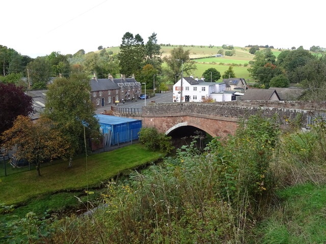
Bonchester Bridge
Bonchester Bridge (Scots Binster Brig) is a village in Roxburghshire, within the Scottish Borders area of Scotland, lying on the Rule Water, six miles...

Hobkirk
Hobkirk (Scottish Gaelic: Eaglais Ruail) is a village and civil parish in the Scottish Borders area of Scotland, by the Rule Water, south-west of Jedburgh...

Hallrule
Hallrule is a hamlet on the B6357 road, in the Scottish Borders area of Scotland, on the Rule Water, near Abbotrule, Bedrule Bonchester Bridge, Denholm...

Abbotrule
Abbotrule is a hamlet south of the B6357 road, in the Scottish Borders area of Scotland, on Rule Burn, east of the Rule Water. Places nearby include Bedrule...
Nearby Amenities
Located within 500m of 55.404381,-2.6536636Have you been to Dungeon Plantation?
Leave your review of Dungeon Plantation below (or comments, questions and feedback).