Kay Wood

Wood, Forest in Roxburghshire

Scotland

Kay Wood

Burnt Plantation near Denholm in The Scottish Borders Enclosed in drystane with odd bits left to birch and, as here, heather and moss. The curves on all its sides would have given shelter from a complexity of airts although whether or not that was its purpose is not in my ken. Its occupants this day were Scandinavian timbers - of previous incumbents there was no hint!
Burnt Plantation near Denholm in The Scottish Borders Credit: ian shiell

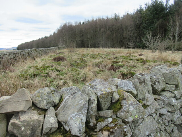
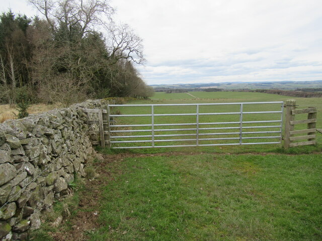
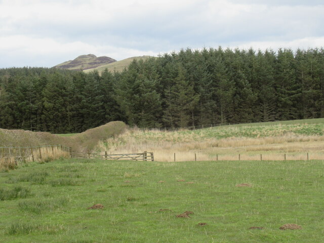
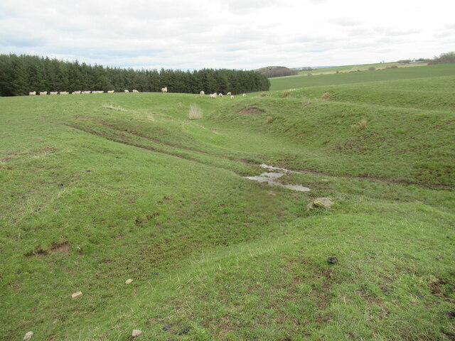
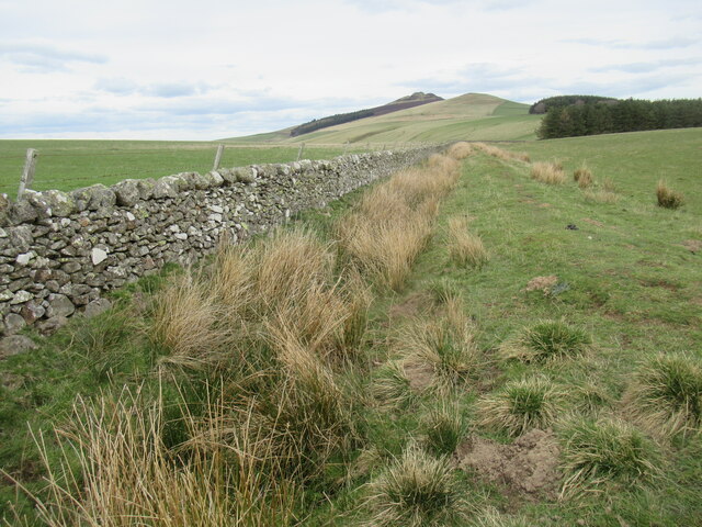
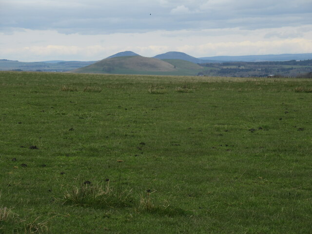
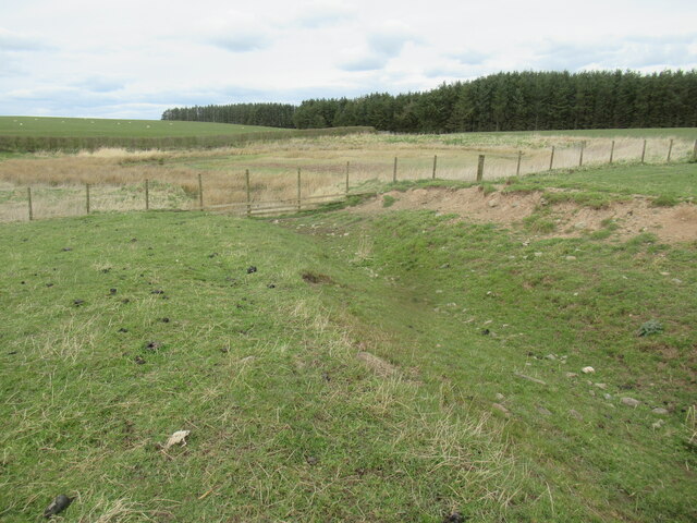
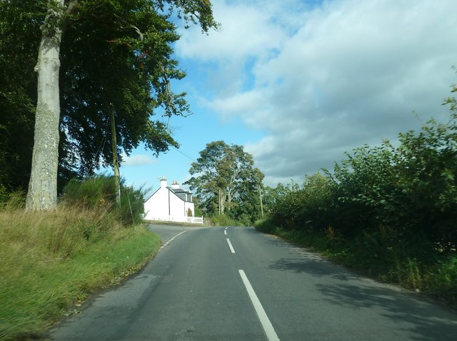
Kay Wood is a picturesque forest located in Roxburghshire, a historic county in the southern part of Scotland. Covering an area of approximately 200 acres, it is a haven for nature enthusiasts and outdoor adventurers alike. The wood is situated near the small village of Kay, which lends its name to the forest.

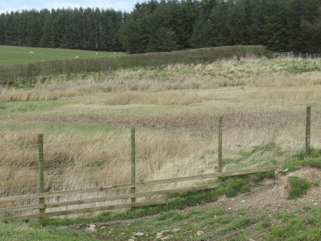
Kay Wood boasts a diverse range of tree species, including oak, beech, birch, and Scots pine, creating a rich and vibrant ecosystem. The forest is home to an array of wildlife, such as red squirrels, deer, and various bird species, making it an excellent destination for birdwatching and wildlife spotting.

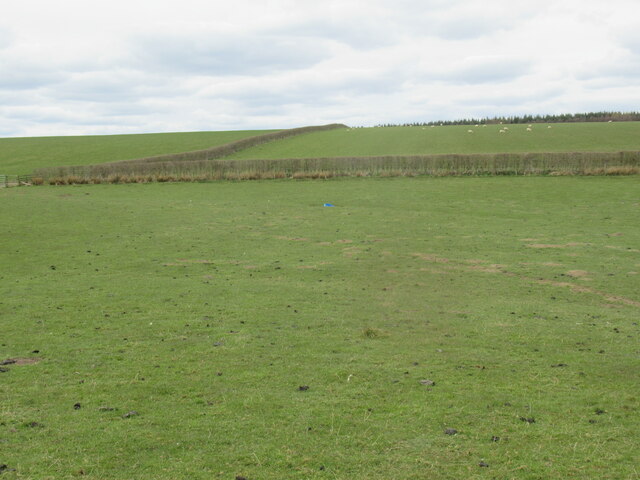
The forest offers a network of well-maintained trails that meander through its lush greenery, providing visitors with the opportunity to explore and immerse themselves in the natural beauty of the surroundings. These trails cater to different levels of fitness and can be enjoyed by walkers, cyclists, and horse riders.

In addition to its natural attractions, Kay Wood also has a rich history. It is believed to have been an important hunting ground during medieval times, and remnants of ancient settlements and structures can still be found within the forest. Archaeological enthusiasts can discover the traces of the past as they wander through the woods.

Overall, Kay Wood in Roxburghshire is a captivating destination that offers a harmonious blend of natural beauty, recreational opportunities, and historical significance. Whether one seeks tranquility in nature, adventure on the trails, or a glimpse into the past, this forest provides a delightful experience for visitors of all ages.

If you have any feedback on the listing, please let us know in the comments section below.

Kay Wood Images

Images are sourced within 2km of 55.420916/-2.6633368 or Grid Reference NT5814. Thanks to Geograph Open Source API. All images are credited.

Burnt Plantation near Denholm in The Scottish Borders Enclosed in drystane with odd bits left to birch and, as here, heather and moss. The curves on all its sides would have given shelter from a complexity of airts although whether or not that was its purpose is not in my ken. Its occupants this day were Scandinavian timbers - of previous incumbents there was no hint!
Burnt Plantation near Denholm in The Scottish Borders
Enclosed in drystane with odd bits left to birch and, as here, heather and moss. The curves on all its sides would have given shelter from a complexity of airts although whether or not that was its purpose is not in my ken. Its occupants this day were Scandinavian timbers - of previous incumbents there was no hint!
Gate at north-east margin of Burnt Plantation near Denholm in The Scottish Borders
Plantation above Heathfield near Bonchester Bridge Not rich grassland by any means, but sufficient for modern types. A Blackie would have viewed disdainfully such verdant decadence!
Plantation above Heathfield near Bonchester Bridge
Not rich grassland by any means, but sufficient for modern types. A Blackie would have viewed disdainfully such verdant decadence!
Duck pond on Hallrule Burn near Bonchester Bridge in The Scottish Borders My instincts lead me to surmise that shooting ducks has lost its popularity here - the shooting stance was a bit dilapidated and there was little sign of access to it through old and new fencelines encircling the thoroughly vegetated pond.
Duck pond on Hallrule Burn near Bonchester Bridge in The Scottish Borders
My instincts lead me to surmise that shooting ducks has lost its popularity here - the shooting stance was a bit dilapidated and there was little sign of access to it through old and new fencelines encircling the thoroughly vegetated pond.
Hallrule Burn near Bonchester Bridge in The Scottish Borders The burn course awaits the filling of the pond
Hallrule Burn near Bonchester Bridge in The Scottish Borders
The burn course awaits the filling of the pond
A 'march' dyke and nascent fork of Hallrule Burn near Denholm in The Scottish Borders Dykes that form the march between farms have the endearing habit of having no gates - there would have been and still is no point! Add to that a farmer's role in preserving heritage artefacts - as well as saving himself astronomical repair bills by armouring dykes with barbed or electric fencing to prevent damage by stock - and you have a pretty unsurmountable bit of heritage! In this example one farm has used electricity as one can tell by the black insulators whereas the other may have felt the nascent Hallrule Burn was sufficiently deterring.
A 'march' dyke and nascent fork of Hallrule Burn near Denholm in The Scottish Borders
Dykes that form the march between farms have the endearing habit of having no gates - there would have been and still is no point! Add to that a farmer's role in preserving heritage artefacts - as well as saving himself astronomical repair bills by armouring dykes with barbed or electric fencing to prevent damage by stock - and you have a pretty unsurmountable bit of heritage! In this example one farm has used electricity as one can tell by the black insulators whereas the other may have felt the nascent Hallrule Burn was sufficiently deterring.
View north from Burnt Plantation near Denholm in The Scottish Borders Only two of The Eildon Hills can be seen. The lowest Eildon would not be prominent from this angle in any case even had The Minto Hills not been obscuring it.
View north from Burnt Plantation near Denholm in The Scottish Borders
Only two of The Eildon Hills can be seen. The lowest Eildon would not be prominent from this angle in any case even had The Minto Hills not been obscuring it.
New hedging on Heathfield ground near Bonchester Bridge in The Scottish Borders
Pond on south fork of Hallrule Burn near Bonchester Bridge Some replenishment needed!
Pond on south fork of Hallrule Burn near Bonchester Bridge
Some replenishment needed!
Outflow of pond on Heathfield near Bonchester Bridge A few metres of additional water are required for 'flow' to occur!
Outflow of pond on Heathfield near Bonchester Bridge
A few metres of additional water are required for 'flow' to occur!
Pond near Heathfield by Bonchester Bridge Heavily vegetated.
Pond near Heathfield by Bonchester Bridge
Heavily vegetated.
The endless cycle of grass on Nether Tofts farm in The Scottish Borders The beasts that produced the dung were likely fed on silage - processed grass - and the dung will be spread to fertilize further growth of grass for the sheep whose droppings will enhance the effect.
The endless cycle of grass on Nether Tofts farm in The Scottish Borders
The beasts that produced the dung were likely fed on silage - processed grass - and the dung will be spread to fertilize further growth of grass for the sheep whose droppings will enhance the effect.
Minor road near Bonchester Bridge
A burnt area at the summit of Rubers Law A Jubilee beacon is likely to be the reason for this charred area – not a pretty sight.
A burnt area at the summit of Rubers Law
A Jubilee beacon is likely to be the reason for this charred area – not a pretty sight.
The triangulation pillar on Rubers Law The trig point marks the 424m summit of this interesting Border hill. Someone has placed some flowers in the pillar.
The triangulation pillar on Rubers Law
The trig point marks the 424m summit of this interesting Border hill. Someone has placed some flowers in the pillar.
Flowers on Rubers Law trig point Someone has left a nice bunch of flowers in the pillar. For a wider view of the trig point, see <a href="https://www.geograph.org.uk/photo/3036902">NT5815 : The triangulation pillar on Rubers Law</a>.
Flowers on Rubers Law trig point
Someone has left a nice bunch of flowers in the pillar. For a wider view of the trig point, see NT5815 : The triangulation pillar on Rubers Law.
White house by the B6357
Rubers Law Rubers Law seen from near Wester Fodderlee.
Rubers Law
Rubers Law seen from near Wester Fodderlee.
Show me another place!

Kay Wood is located at Grid Ref: NT5814 (Lat: 55.420916, Lng: -2.6633368)

Unitary Authority: The Scottish Borders

Police Authority: The Lothians and Scottish Borders

What 3 Words

///snowboard.shams.directs. Near Hawick, Scottish Borders

Nearby Locations

Kay Wood Square Plantation

Related Wikis

Hallrule

Hallrule is a hamlet on the B6357 road, in the Scottish Borders area of Scotland, on the Rule Water, near Abbotrule, Bedrule Bonchester Bridge, Denholm...
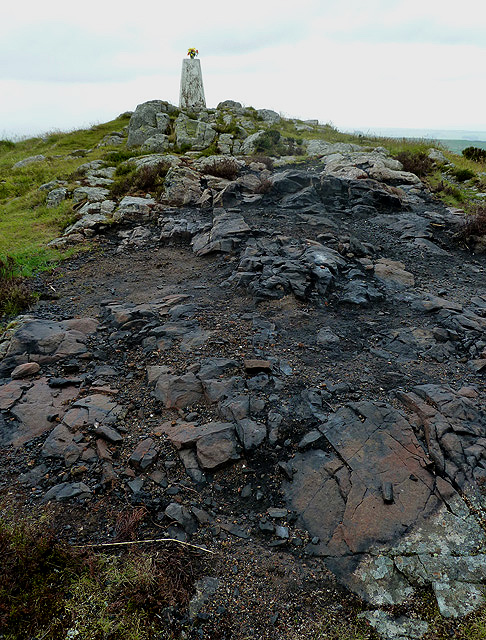
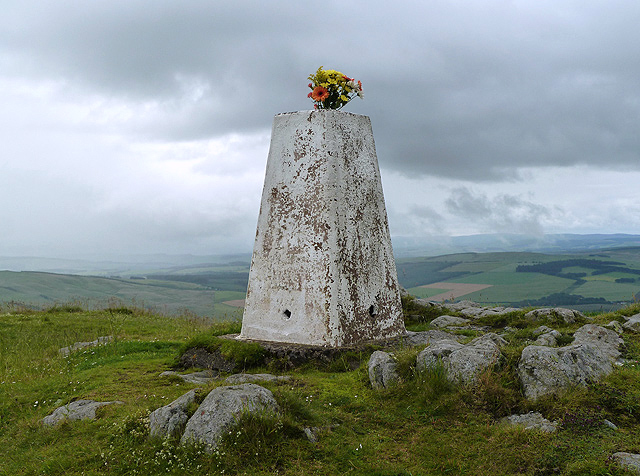
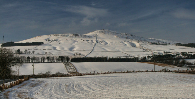
Rubers Law

Rubers Law is a prominent, conical hill in the Scottish Borders area of south-east Scotland. It stands on the south bank of the River Teviot, between the...

Bonchester Bridge

Bonchester Bridge (Scots Binster Brig) is a village in Roxburghshire, within the Scottish Borders area of Scotland, lying on the Rule Water, six miles...

Fulton Tower

Fulton Tower is a ruined 16th century tower house, about 4.5 miles (7.2 km) south west of Jedburgh, Scottish Borders, Scotland, and about 2 miles (3.2...

Related Videos

BONCHESTER BRIDGE LOOP

Hello Jamie here and with another video. So after my massive Ruberslaw walk, somehow in the afternoon period. I managed to ...

RUBERSLAW SUMMIT

Hello Jamie here and with another video. So I'm at the top of Ruberslaw, the summit. So I took time to take it all in. Could even see ...

RUBERSLAW HIKE

Hello Jamie here and with another video. This is my snippets video of when I did Ruberslaw. The whole thing. As well as little ...

Nearby Amenities

Located within 500m of 55.420916,-2.6633368
The data included in this document is from www.openstreetmap.org. The data is made available under ODbL.

Have you been to Kay Wood?

Leave your review of Kay Wood below (or comments, questions and feedback).