Square Plantation
Wood, Forest in Roxburghshire
Scotland
Square Plantation

Square Plantation is a wood and forest located in Roxburghshire, Scotland. Covering an area of approximately 100 acres, it is a picturesque and diverse natural landscape that offers a range of recreational opportunities for visitors.
The plantation is predominantly made up of deciduous trees, including oak, beech, and birch, which create a stunning display of vibrant colors during the autumn season. These trees provide a dense canopy, offering shade and shelter to a variety of wildlife species.
The forest is crisscrossed by a network of well-maintained walking trails, making it a popular destination for hikers and nature enthusiasts. These trails meander through the woodland, offering stunning views of the surrounding countryside and providing opportunities to spot wildlife such as deer, foxes, and a wide array of bird species.
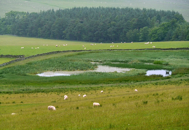
Additionally, Square Plantation features a small, tranquil pond, which serves as a habitat for various aquatic plants and animals. Visitors can enjoy the peaceful ambiance and observe the diverse ecosystem that thrives in and around the water.
The plantation is managed by the local forestry commission, ensuring its preservation and sustainability. Conservation efforts are in place to protect the native flora and fauna, and visitors are encouraged to respect the natural environment by adhering to designated paths and leaving no trace behind.
Overall, Square Plantation is a beautiful and serene woodland, offering visitors an opportunity to connect with nature, enjoy scenic walks, and appreciate the rich biodiversity that thrives within its boundaries.
If you have any feedback on the listing, please let us know in the comments section below.
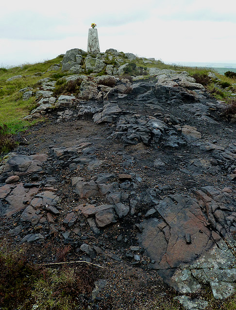
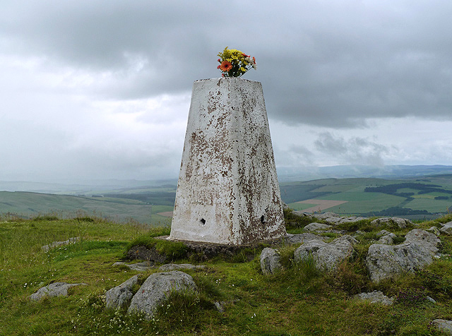
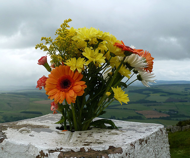
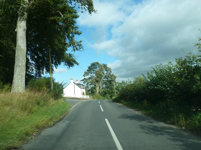
Square Plantation Images
Images are sourced within 2km of 55.425143/-2.6592997 or Grid Reference NT5814. Thanks to Geograph Open Source API. All images are credited.


Square Plantation is located at Grid Ref: NT5814 (Lat: 55.425143, Lng: -2.6592997)
Unitary Authority: The Scottish Borders
Police Authority: The Lothians and Scottish Borders
What 3 Words
///everyone.popular.grandest. Near Hawick, Scottish Borders
Nearby Locations
Related Wikis

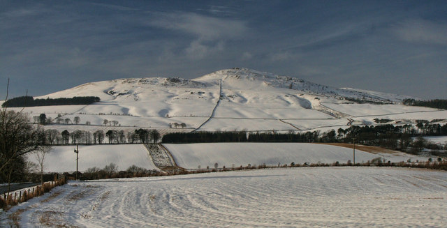
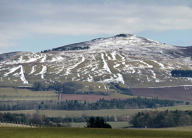
Rubers Law
Rubers Law is a prominent, conical hill in the Scottish Borders area of south-east Scotland. It stands on the south bank of the River Teviot, between the...

Hallrule
Hallrule is a hamlet on the B6357 road, in the Scottish Borders area of Scotland, on the Rule Water, near Abbotrule, Bedrule Bonchester Bridge, Denholm...

Fulton Tower
Fulton Tower is a ruined 16th century tower house, about 4.5 miles (7.2 km) south west of Jedburgh, Scottish Borders, Scotland, and about 2 miles (3.2...

Bonchester Bridge
Bonchester Bridge (Scots Binster Brig) is a village in Roxburghshire, within the Scottish Borders area of Scotland, lying on the Rule Water, six miles...
Nearby Amenities
Located within 500m of 55.425143,-2.6592997Have you been to Square Plantation?
Leave your review of Square Plantation below (or comments, questions and feedback).