Blackhill West Wood

Wood, Forest in Berwickshire

Scotland

Blackhill West Wood

Redpath Moss The name of the woodland to the left of the track which proceeds eastwards into Brotherstone Moor.
Redpath Moss Credit: Jonathan Billinger

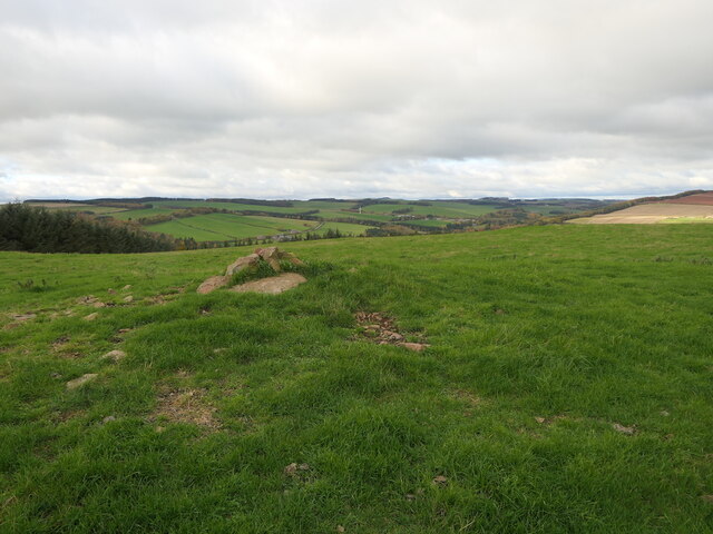
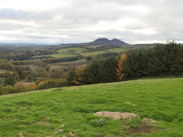
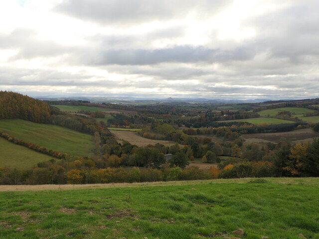
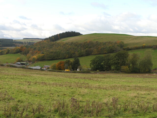
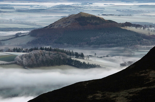
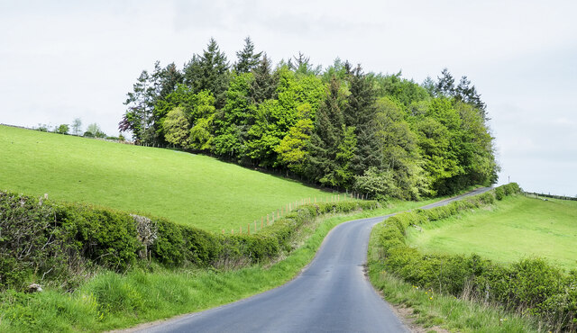
Blackhill West Wood is a magnificent forest located in the region of Berwickshire, Scotland. Spanning over a vast area, the wood is known for its stunning natural beauty and diverse range of flora and fauna. It is situated near the village of Westruther, adding to its accessibility and popularity among nature enthusiasts.

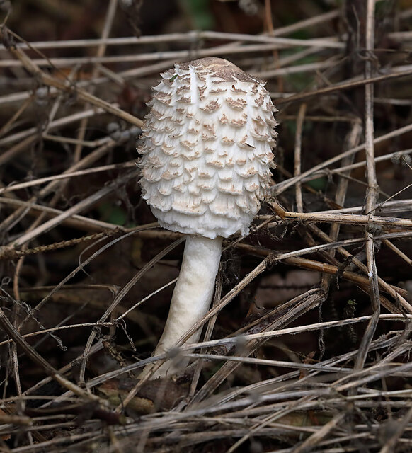
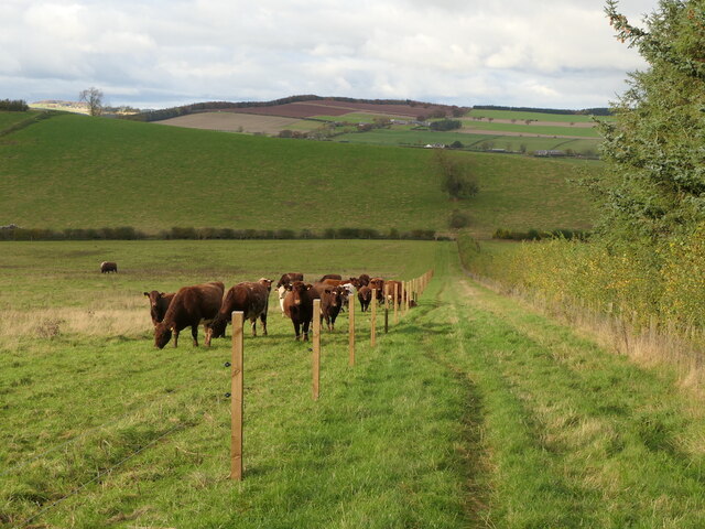
The wood is characterized by its dense tree cover, primarily consisting of native species such as Scots pine, oak, and birch. This creates a rich and varied habitat for numerous wildlife species. Visitors to Blackhill West Wood can expect to spot a wide array of bird species, including woodpeckers and owls, as well as mammals such as roe deer and red squirrels.

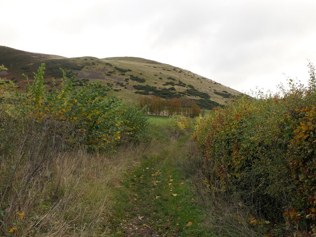
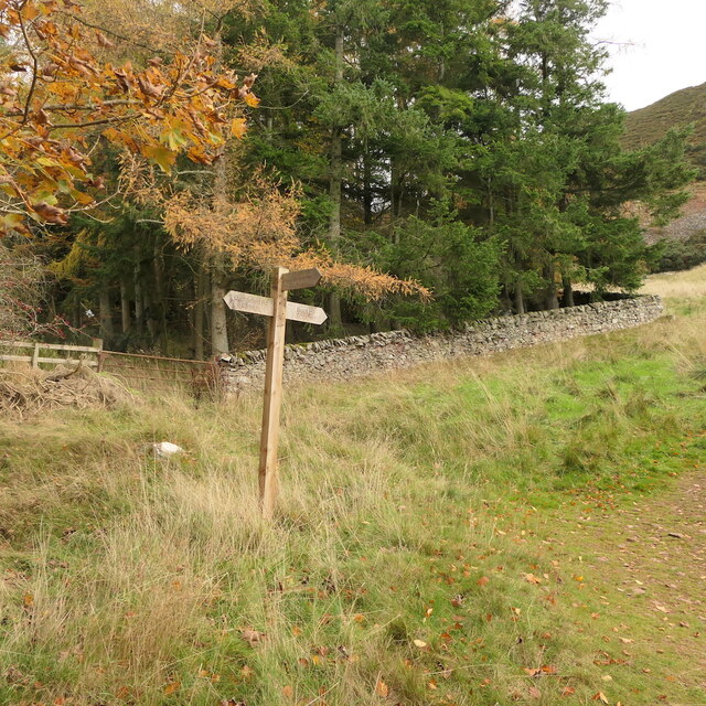
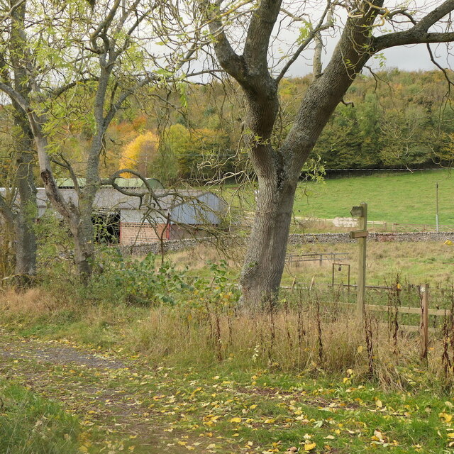
The forest offers a network of well-maintained trails and paths, making it ideal for walkers, hikers, and nature lovers. The enchanting woodland setting provides a peaceful and tranquil atmosphere, allowing visitors to immerse themselves in the beauty of nature. Along the trails, there are also informative signs and boards that offer insights into the history and ecology of the wood, enhancing the overall experience.

Blackhill West Wood is managed by a dedicated team of conservationists who strive to protect and preserve the natural environment. The wood is part of a larger network of protected areas, ensuring its long-term sustainability and ecological significance.

Overall, Blackhill West Wood is a nature lover's paradise, offering a unique opportunity to explore the beauty of Scotland's woodlands and connect with its rich biodiversity.

If you have any feedback on the listing, please let us know in the comments section below.

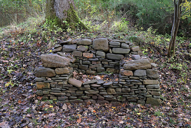
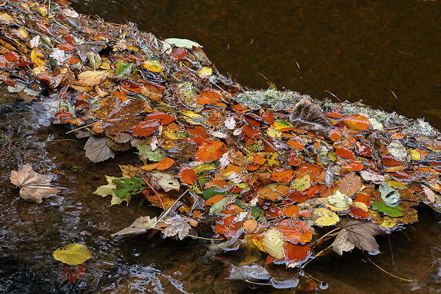
Blackhill West Wood Images

Images are sourced within 2km of 55.624143/-2.6650669 or Grid Reference NT5836. Thanks to Geograph Open Source API. All images are credited.

Redpath Moss The name of the woodland to the left of the track which proceeds eastwards into Brotherstone Moor.
Redpath Moss
The name of the woodland to the left of the track which proceeds eastwards into Brotherstone Moor.
Looking across the ripening cereal Towards Craighouse Quarry.
Looking across the ripening cereal
Towards Craighouse Quarry.
A stone bench seat by the Leader Water For a view of the stone seat taken in March 2013, see <a href="https://www.geograph.org.uk/photo/3374614">NT5735 : A drystane bench seat by the Leader Water</a>.
A stone bench seat by the Leader Water
For a view of the stone seat taken in March 2013, see NT5735 : A drystane bench seat by the Leader Water.
Autumn leaves on the Leader Water The leaves have been snagged up on a fallen tree trunk in the river.
Autumn leaves on the Leader Water
The leaves have been snagged up on a fallen tree trunk in the river.
A shaggy parasol mushroom (Chlorophyllum rhacodes) This emerging mushroom was photographed in a coniferous wood near Redpath.
A shaggy parasol mushroom (Chlorophyllum rhacodes)
This emerging mushroom was photographed in a coniferous wood near Redpath.
Black Hill and access path Black Hill of Earlston and a popular ascent route by Cowdenknowes Mains.
Black Hill and access path
Black Hill of Earlston and a popular ascent route by Cowdenknowes Mains.
Summit, White Hill Above Earlston.
Summit, White Hill
Above Earlston.
On White Hill View across Lauderdale towards the Eildon Hills.
On White Hill
View across Lauderdale towards the Eildon Hills.
View down Lauderdale From White Hill.
View down Lauderdale
From White Hill.
White Hill, Earlston Above Cowdenknowes Mains.
White Hill, Earlston
Above Cowdenknowes Mains.
Path to Earlston from Cowdenknowes Mains A route off Black Hill passing a herd of shorthorns.
Path to Earlston from Cowdenknowes Mains
A route off Black Hill passing a herd of shorthorns.
Signpost below Black Hill A path heads north from here towards Earlston.
Signpost below Black Hill
A path heads north from here towards Earlston.
Path signpost, Cowdenknowes Mains
A misty Borders landscape This December view towards Black Hill was taken from Eildon Mid Hill.
A misty Borders landscape
This December view towards Black Hill was taken from Eildon Mid Hill.
A Royal Bank of Scotland mobile bank at Earlston The RBS van was parked outside the Red Lion Hotel.
A Royal Bank of Scotland mobile bank at Earlston
The RBS van was parked outside the Red Lion Hotel.
Craighouse Quarry A big hole in Redpath Hill.
Craighouse Quarry
A big hole in Redpath Hill.
Trees beside Anniesfield House The road passing the trees is above the A68 close to Earlston.
Trees beside Anniesfield House
The road passing the trees is above the A68 close to Earlston.
No through road to The Park, Redpath
Show me another place!

Blackhill West Wood is located at Grid Ref: NT5836 (Lat: 55.624143, Lng: -2.6650669)

Unitary Authority: The Scottish Borders

Police Authority: The Lothians and Scottish Borders

What 3 Words

///removers.whisk.runways. Near Earlston, Scottish Borders

Related Wikis

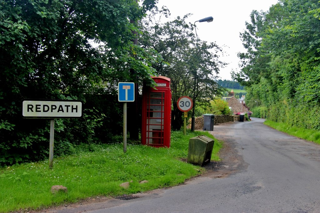
Redpath, Scottish Borders

Redpath (Scots: Rippath) is a small village located between the larger settlements of Earlston, 2 miles (3.2 km) to the north, and St Boswells, 3 miles...

St Andrew's College, Drygrange

St Andrew's College, Drygrange, located near Melrose, Scotland, was a Roman Catholic seminary founded in 1953 and closed in 1986. == History == === Foundation... ===

Earlston railway station

Earlston railway station, in the Scottish Borders village of Earlston, was a station on the now disused Berwickshire Railway.There were two platforms...

Rhymer's Tower

Rhymer's Tower, also known as Earlston Castle, is located near the village of Earlston, Scottish Borders, Scotland. The castle was the caput baroniae of...

Nearby Amenities

Located within 500m of 55.624143,-2.6650669
Black Hill
Ele: 314
Natural: peak
Lat/Long: 55.6248771/-2.6598882
Cowdenknowes
Place: hamlet
Lat/Long: 55.6249676/-2.6694522
Power: pole
Lat/Long: 55.6261543/-2.6703077
Power: pole
Lat/Long: 55.6205133/-2.6685867
Power: pole
Lat/Long: 55.6216659/-2.6685841
Power: pole
Lat/Long: 55.6223765/-2.6685918
Power: pole
Lat/Long: 55.6230626/-2.6685841
Power: pole
Lat/Long: 55.6237329/-2.6685791
Power: pole
Lat/Long: 55.6245381/-2.6683604
Power: pole
Lat/Long: 55.6252902/-2.6681393
Power: pole
Lat/Long: 55.6259533/-2.6679537
Power: pole
Lat/Long: 55.6266265/-2.6677707
Power: pole
Lat/Long: 55.6272938/-2.6675978
Power: pole
Lat/Long: 55.6279799/-2.667397
The data included in this document is from www.openstreetmap.org. The data is made available under ODbL.

Have you been to Blackhill West Wood?

Leave your review of Blackhill West Wood below (or comments, questions and feedback).