Chaffcombe
Settlement in Somerset South Somerset
England
Chaffcombe
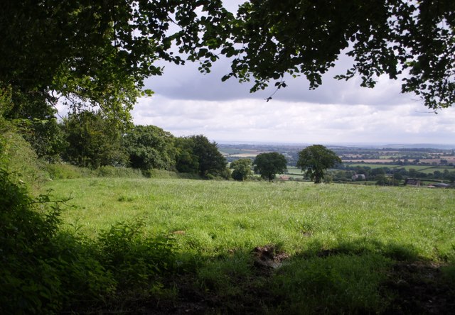
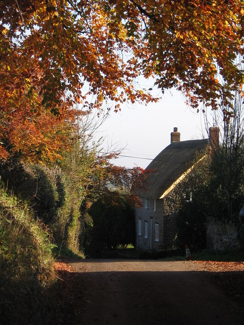
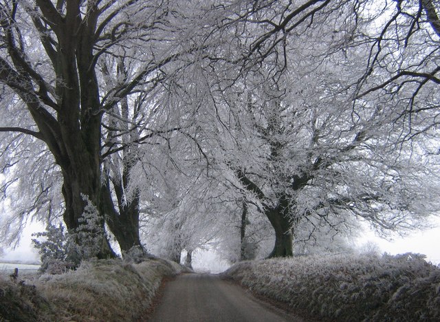
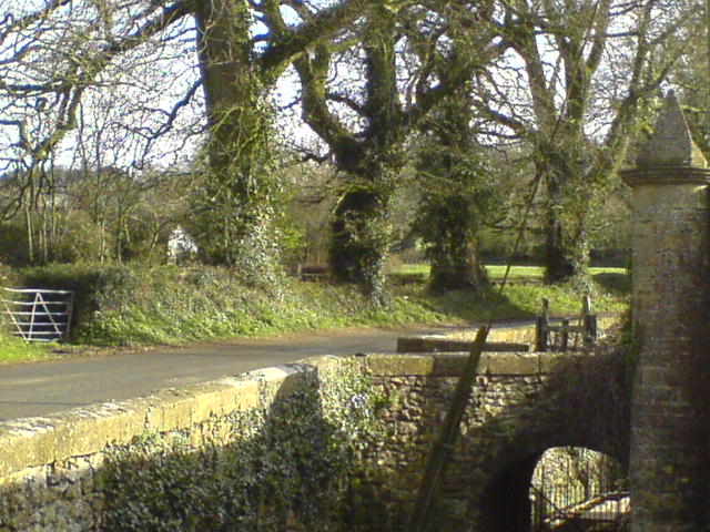
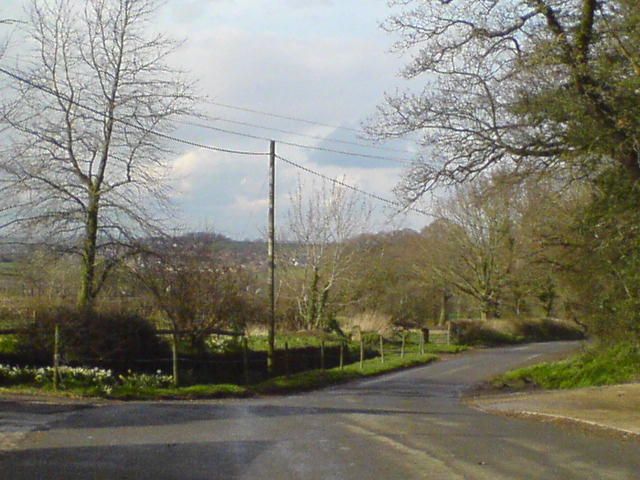
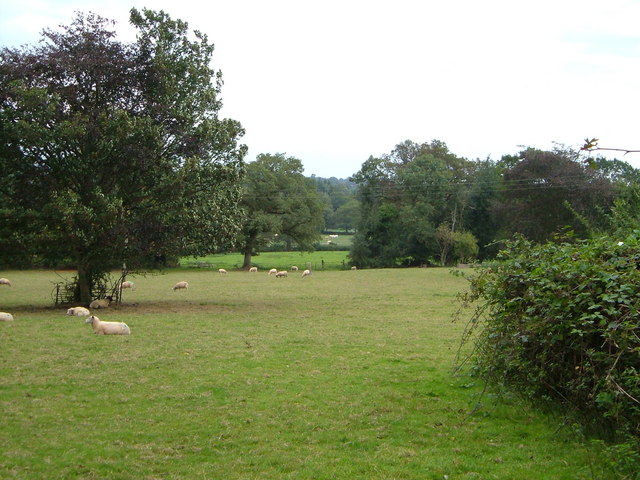
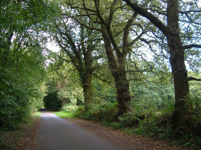
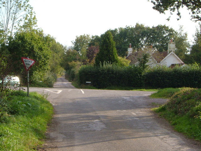
Chaffcombe is a small village located in the county of Somerset, England. Situated on the southern slopes of the Blackdown Hills, it is nestled between the towns of Chard and Ilminster. Chaffcombe boasts a picturesque countryside setting, surrounded by rolling hills and lush green fields, making it an ideal destination for nature lovers and those seeking tranquility.
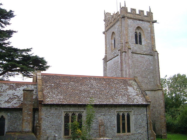
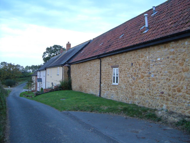
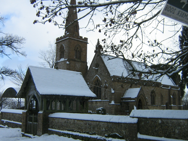
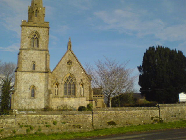
The village itself is relatively small, with a population of around 200 residents. It is known for its charming and traditional stone cottages, which lend a quaint and rustic atmosphere to the area. The village is centered around the St. Michael and All Angels Church, a historic landmark with origins dating back to the 12th century. The church's elegant architecture and beautiful stained glass windows make it a must-visit for history enthusiasts.
Despite its small size, Chaffcombe offers a close-knit community and a range of amenities for its residents. There is a small primary school, providing education for local children, as well as a village hall that hosts various community events and gatherings. The surrounding area also offers ample opportunities for outdoor activities, such as hiking, cycling, and horse riding, thanks to its stunning natural landscapes.
Chaffcombe is conveniently located near major road networks, allowing for easy access to nearby towns and cities. The village's peaceful and idyllic setting, combined with its strong sense of community, make it an attractive place to live for those seeking a slower pace of life in the heart of the Somerset countryside.
If you have any feedback on the listing, please let us know in the comments section below.
Chaffcombe Images
Images are sourced within 2km of 50.887307/-2.922538 or Grid Reference ST3510. Thanks to Geograph Open Source API. All images are credited.

Chaffcombe is located at Grid Ref: ST3510 (Lat: 50.887307, Lng: -2.922538)
Administrative County: Somerset
District: South Somerset
Police Authority: Avon and Somerset
What 3 Words
///brink.louder.aims. Near Chard, Somerset
Nearby Locations
Related Wikis

Chaffcombe
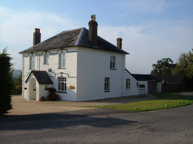
Chaffcombe is a village and civil parish in Somerset, England, situated 2 miles (3.2 km) north east of Chard in the South Somerset district. The village...
Church of St Michael and All Angels, Chaffcombe
The Anglican Church of St Michael and All Angels in Chaffcombe, Somerset, England was built in the 15th century. It is a Grade II* listed building. �...
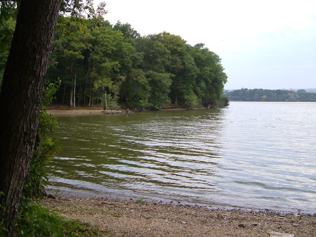
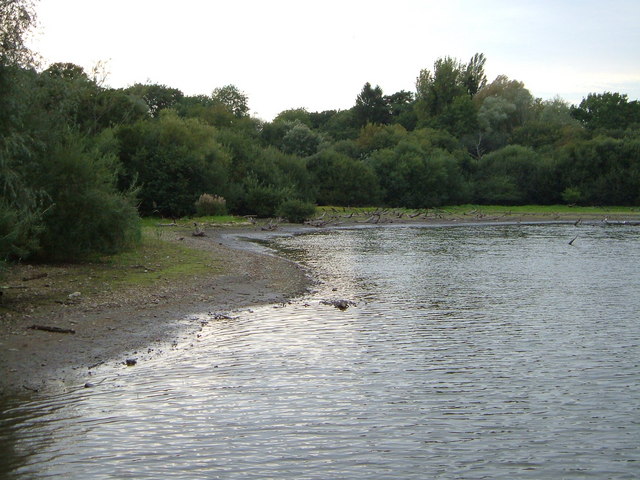
Chard Reservoir
Chard Reservoir is a 36.97-hectare (91.4-acre) reservoir north east of Chard Somerset, England. It is owned and managed by South Somerset District Council...

Knowle St Giles
Knowle St Giles is a village and civil parish in the South Somerset district of Somerset, England, situated on the River Isle 2 miles (3 km) south of Ilminster...

Church of St Mary Magdalene, Cricket Malherbie
The Anglican Church of St Mary Magdalene in Cricket Malherbie, Somerset, England was built in the 12th century and rebuilt in 1855. It is a Grade II* listed...

Church of St Michael, Cudworth
The Anglican Church of St Michael in Cudworth, Somerset, England was built in the 12th century. It is a Grade II* listed building. == History == The church...

Cudworth, Somerset
Cudworth (English: ) is a village and parish in Somerset, England, situated 5 miles (8.0 km) north east of Chard in the South Somerset district. The village...
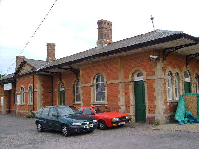
Chard Central railway station
Chard Central railway station was the principal railway station in Chard, Somerset, England. It was opened in 1866 and closed in 1962, during which time...
Nearby Amenities
Located within 500m of 50.887307,-2.922538Have you been to Chaffcombe?
Leave your review of Chaffcombe below (or comments, questions and feedback).