Old Hole Copse
Wood, Forest in Somerset South Somerset
England
Old Hole Copse
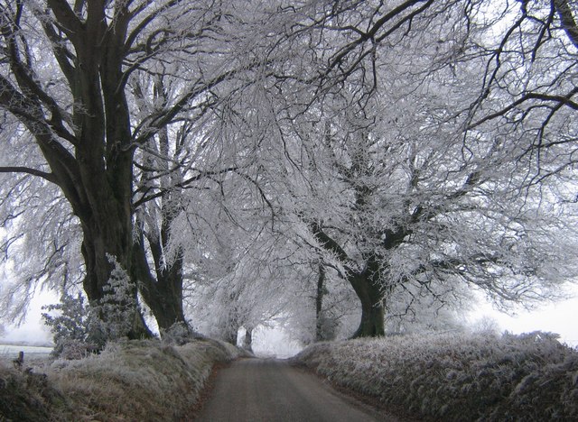
Old Hole Copse is a charming woodland located in the county of Somerset, England. Spanning approximately 20 acres, the copse is nestled within the rolling countryside, offering a serene and tranquil retreat for nature enthusiasts and adventurers alike.
The copse is primarily made up of deciduous trees, predominantly oak and beech, interspersed with occasional ash and birch trees. The dense canopy provides a cool and shaded environment, particularly during the hot summer months. A carpet of vibrant bluebells covers the forest floor in the spring, creating a breathtaking sight for visitors.
The copse is home to a diverse range of wildlife, with many species finding sanctuary within its boundaries. Birdwatchers can spot a variety of avian species, including woodpeckers, owls, and warblers, while small mammals such as badgers, foxes, and rabbits can also be glimpsed. In addition, the copse supports a wide array of insects, including butterflies and dragonflies.
Visitors can explore the copse via a network of well-maintained footpaths that wind their way through the woodland. These paths take visitors on a journey through the copse, revealing hidden glades, babbling brooks, and ancient trees. Along the way, there are benches strategically placed to allow visitors to rest and appreciate the natural beauty that surrounds them.
Old Hole Copse is a popular destination for nature lovers, hikers, and photographers looking to immerse themselves in the beauty and tranquility of the Somerset countryside. With its picturesque scenery and abundant wildlife, this woodland gem offers a truly enchanting experience for all who venture within its boundaries.
If you have any feedback on the listing, please let us know in the comments section below.
Old Hole Copse Images
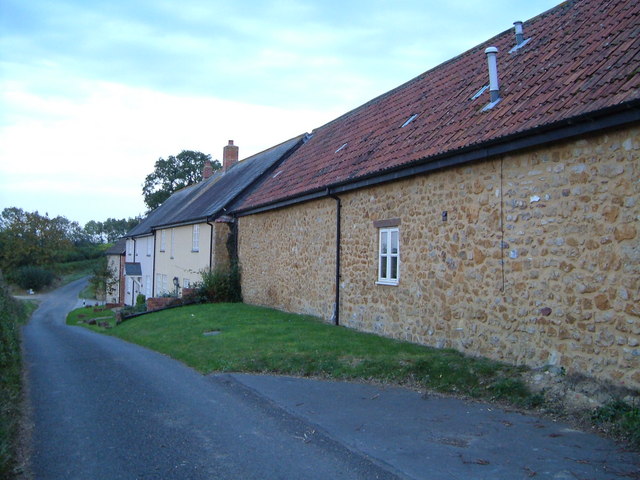
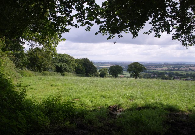
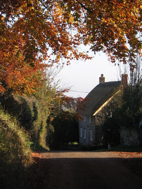
Images are sourced within 2km of 50.890538/-2.9114587 or Grid Reference ST3510. Thanks to Geograph Open Source API. All images are credited.


Old Hole Copse is located at Grid Ref: ST3510 (Lat: 50.890538, Lng: -2.9114587)
Administrative County: Somerset
District: South Somerset
Police Authority: Avon and Somerset
What 3 Words
///wove.discloses.snows. Near Ilminster, Somerset
Nearby Locations
Related Wikis

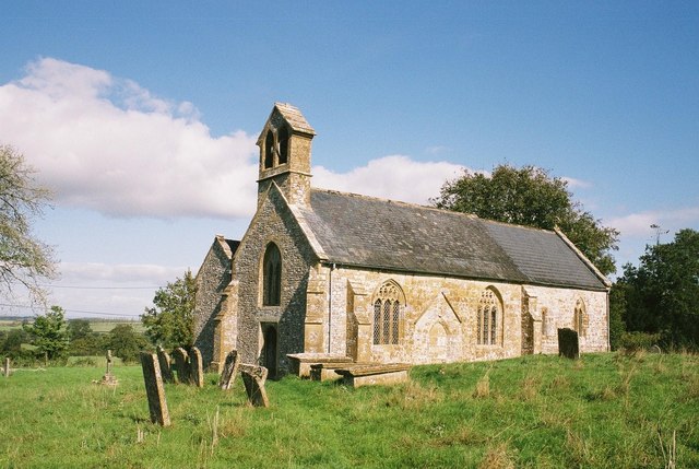
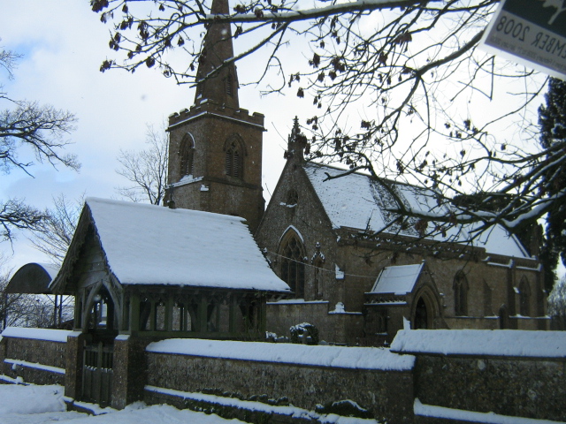
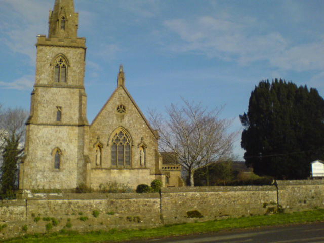
Church of St Michael and All Angels, Chaffcombe
The Anglican Church of St Michael and All Angels in Chaffcombe, Somerset, England was built in the 15th century. It is a Grade II* listed building. �...
Chaffcombe
Chaffcombe is a village and civil parish in Somerset, England, situated 2 miles (3.2 km) north east of Chard in the South Somerset district. The village...

Church of St Mary Magdalene, Cricket Malherbie
The Anglican Church of St Mary Magdalene in Cricket Malherbie, Somerset, England was built in the 12th century and rebuilt in 1855. It is a Grade II* listed...

Church of St Michael, Cudworth
The Anglican Church of St Michael in Cudworth, Somerset, England was built in the 12th century. It is a Grade II* listed building. == History == The church...

Cudworth, Somerset
Cudworth (English: ) is a village and parish in Somerset, England, situated 5 miles (8.0 km) north east of Chard in the South Somerset district. The village...

Knowle St Giles
Knowle St Giles is a village and civil parish in the South Somerset district of Somerset, England, situated on the River Isle 2 miles (3 km) south of Ilminster...
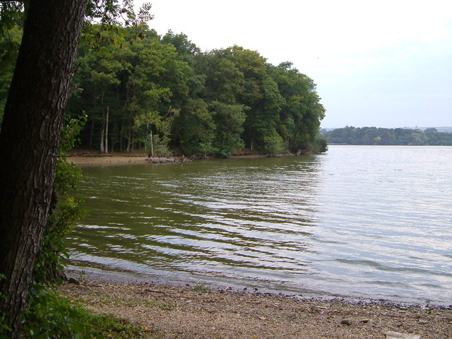
Chard Reservoir
Chard Reservoir is a 36.97-hectare (91.4-acre) reservoir north east of Chard Somerset, England. It is owned and managed by South Somerset District Council...

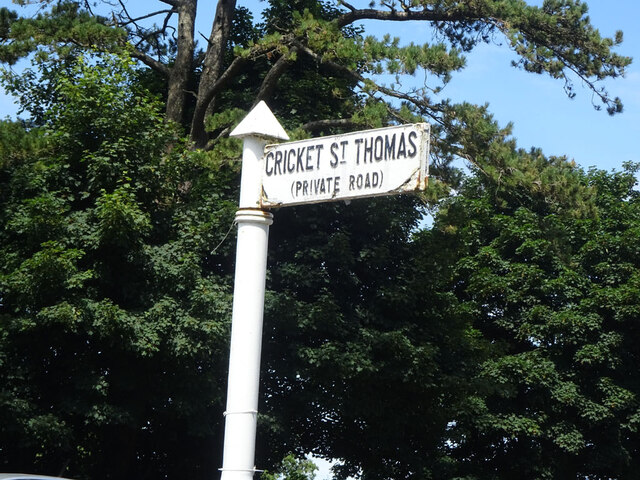
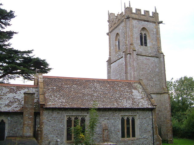
Church of St Thomas, Cricket St Thomas
The Church of St Thomas in Cricket St Thomas, Somerset, England was built in the 14th century and rebuilt in 1868. It is a Grade II* listed building....
Have you been to Old Hole Copse?
Leave your review of Old Hole Copse below (or comments, questions and feedback).