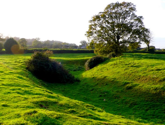
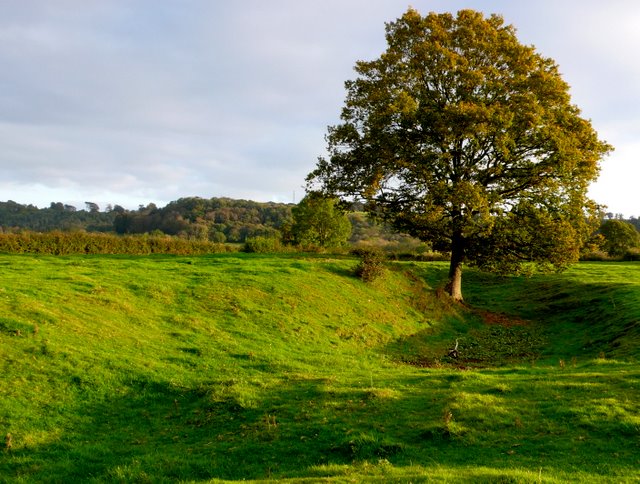
Sprays Hill Copse
Wood, Forest in Somerset South Somerset
England
Sprays Hill Copse

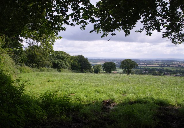
Sprays Hill Copse is a charming woodland located in Somerset, England. Covering an area of approximately 20 acres, this enchanting forest is a haven for nature enthusiasts and those seeking tranquility amidst the beauty of nature.
The copse is characterized by its diverse range of tree species, including oak, ash, beech, and birch. These majestic trees create a dense canopy, allowing only dappled sunlight to filter through, giving the forest a mystical ambiance. The forest floor is carpeted with a variety of wildflowers, ferns, and mosses, adding to the overall natural splendor of the area.
Sprays Hill Copse is home to a rich variety of wildlife, making it a popular spot for birdwatchers and nature photographers. Visitors may encounter a plethora of bird species, such as woodpeckers, thrushes, and finches. If lucky, one might even spot a shy deer or a family of badgers going about their daily routines.
The copse offers several walking trails, allowing visitors to immerse themselves in the serene surroundings and explore the woodland at their own pace. These trails wind through the forest, crossing picturesque streams and leading to viewpoints where one can admire the stunning vistas of the surrounding countryside.
Sprays Hill Copse is a place of tranquility and natural beauty, offering a respite from the hustle and bustle of everyday life. Whether you are a nature lover, a bird enthusiast, or simply seeking a peaceful escape, this Somerset woodland is sure to captivate your senses and provide a memorable experience.
If you have any feedback on the listing, please let us know in the comments section below.
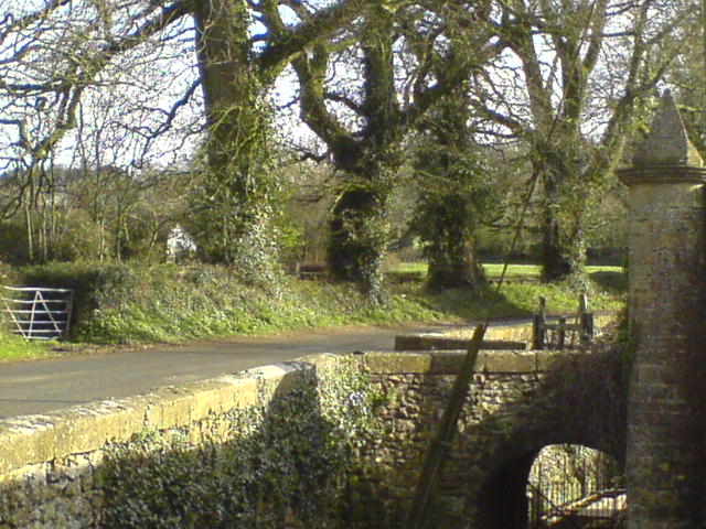
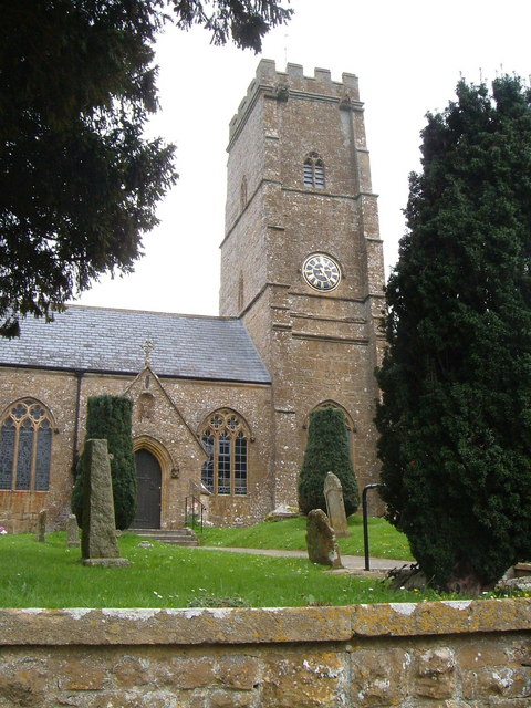
Sprays Hill Copse Images
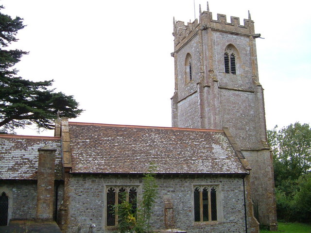
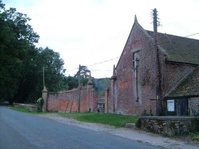
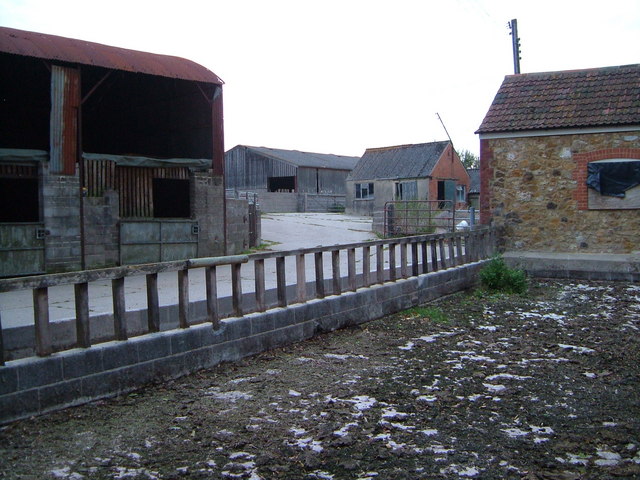
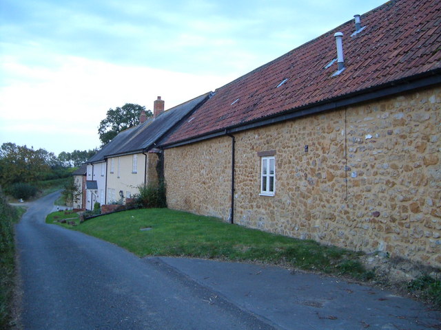
Images are sourced within 2km of 50.893074/-2.9172809 or Grid Reference ST3510. Thanks to Geograph Open Source API. All images are credited.


Sprays Hill Copse is located at Grid Ref: ST3510 (Lat: 50.893074, Lng: -2.9172809)
Administrative County: Somerset
District: South Somerset
Police Authority: Avon and Somerset
What 3 Words
///personal.parading.escalated. Near Ilminster, Somerset
Nearby Locations
Related Wikis

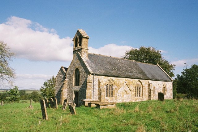
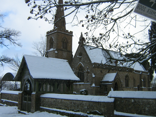
Church of St Michael and All Angels, Chaffcombe
The Anglican Church of St Michael and All Angels in Chaffcombe, Somerset, England was built in the 15th century. It is a Grade II* listed building. �...
Chaffcombe
Chaffcombe is a village and civil parish in Somerset, England, situated 2 miles (3.2 km) north east of Chard in the South Somerset district. The village...

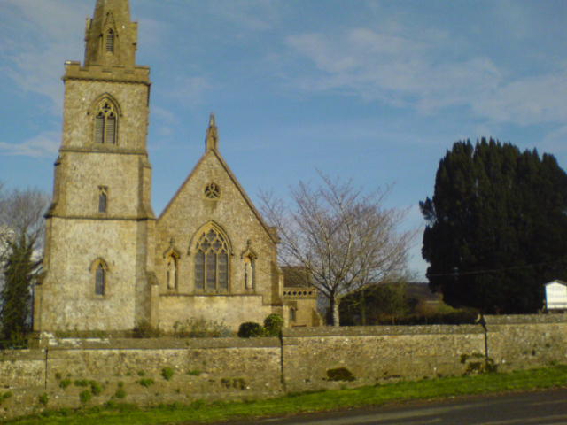
Church of St Mary Magdalene, Cricket Malherbie
The Anglican Church of St Mary Magdalene in Cricket Malherbie, Somerset, England was built in the 12th century and rebuilt in 1855. It is a Grade II* listed...

Knowle St Giles
Knowle St Giles is a village and civil parish in the South Somerset district of Somerset, England, situated on the River Isle 2 miles (3 km) south of Ilminster...

Church of St Michael, Cudworth
The Anglican Church of St Michael in Cudworth, Somerset, England was built in the 12th century. It is a Grade II* listed building. == History == The church...

Cudworth, Somerset
Cudworth (English: ) is a village and parish in Somerset, England, situated 5 miles (8.0 km) north east of Chard in the South Somerset district. The village...
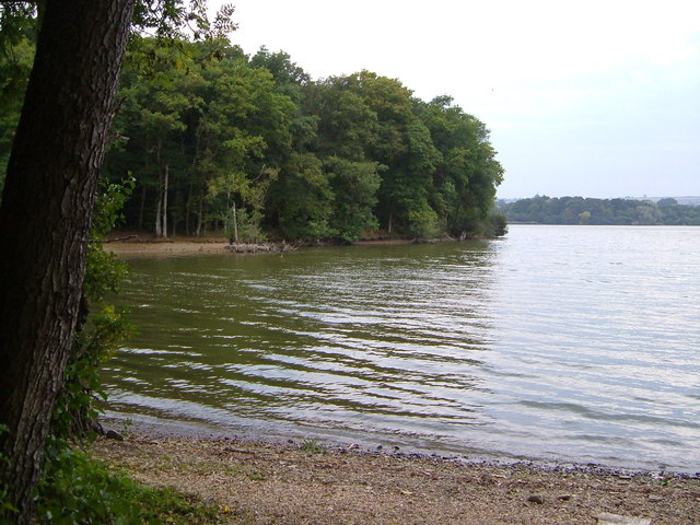
Chard Reservoir
Chard Reservoir is a 36.97-hectare (91.4-acre) reservoir north east of Chard Somerset, England. It is owned and managed by South Somerset District Council...
Dowlish Wake
Dowlish Wake is a small village and civil parish in Somerset, England, 2 miles (3 km) south of Ilminster and 5 miles (8 km) northeast of Chard in the South...
Have you been to Sprays Hill Copse?
Leave your review of Sprays Hill Copse below (or comments, questions and feedback).