New Park
Downs, Moorland in Somerset South Somerset
England
New Park
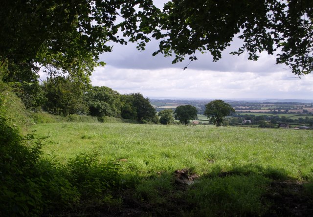
New Park, Somerset is a picturesque region located in the southwest of England. The area is known for its diverse and breathtaking landscapes, combining both downs and moorland. The downs are characterized by rolling hills and expansive meadows, offering panoramic views of the surrounding countryside. On the other hand, the moorland is characterized by vast open spaces, heather-clad hills, and rugged terrain.
The downs in New Park are home to a rich variety of flora and fauna, with wildflowers painting the hillsides in vibrant colors during the spring and summer months. The area is also a haven for birdwatchers, as it attracts a wide range of species, including skylarks, kestrels, and buzzards. Visitors can enjoy leisurely walks or hikes along the well-maintained trails that crisscross the downs, allowing them to immerse themselves in the natural beauty of the area.
In contrast, the moorland of New Park offers a more untamed and wild experience. Here, visitors can explore the rugged terrain and enjoy the solitude that comes with being surrounded by untouched nature. The moorland is dotted with ancient stone circles, evidence of the area's rich history and cultural heritage. It is also home to a variety of wildlife, including wild ponies, deer, and rare bird species such as the curlew.
New Park, Somerset is a destination that appeals to nature enthusiasts, hikers, and those seeking tranquility in a stunning natural setting. With its combination of downs and moorland, the region offers a diverse and captivating experience for visitors of all interests.
If you have any feedback on the listing, please let us know in the comments section below.
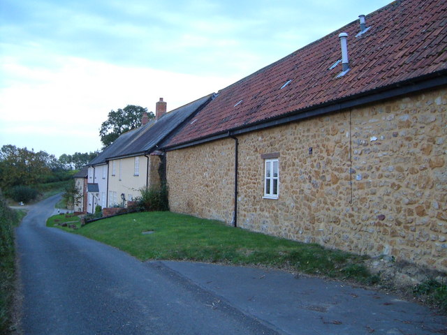
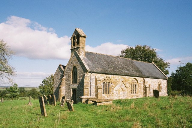
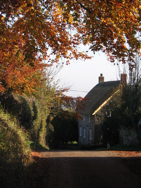
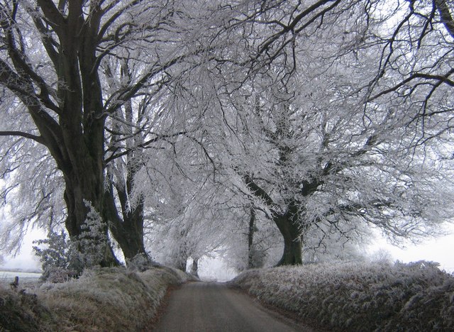
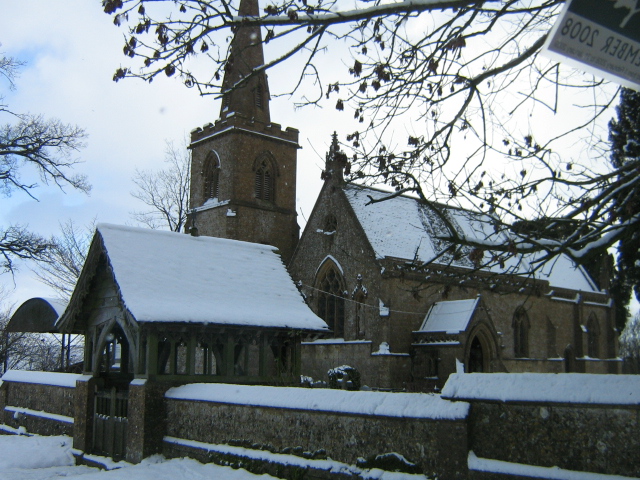
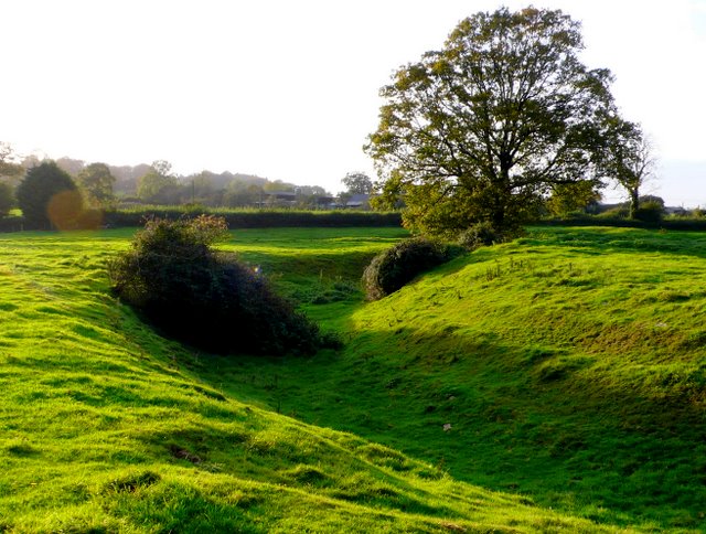
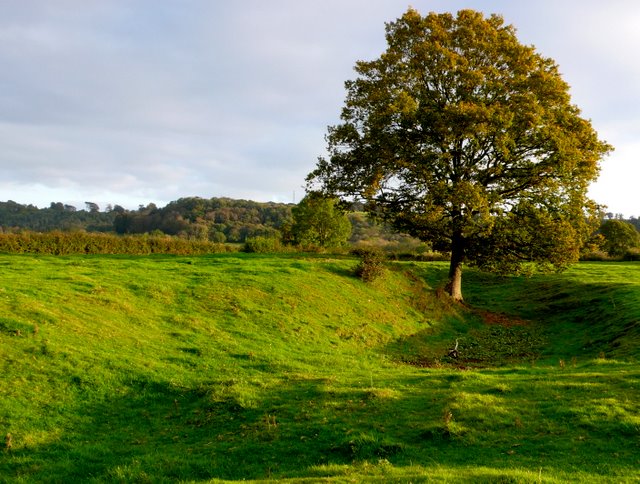
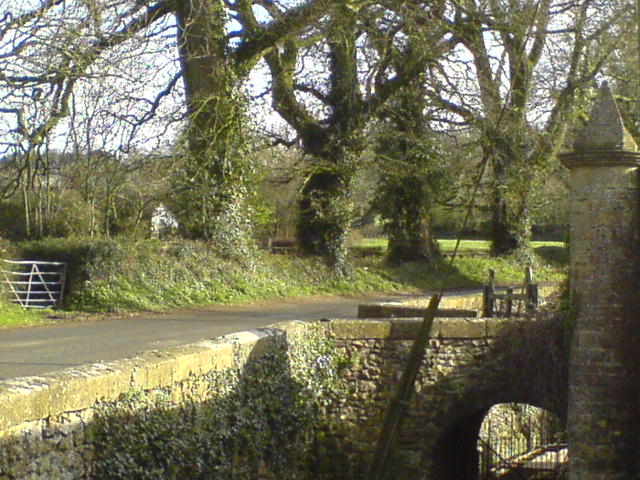
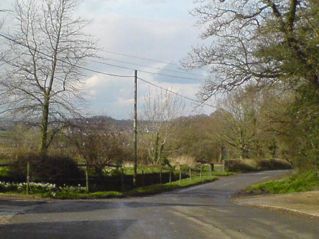
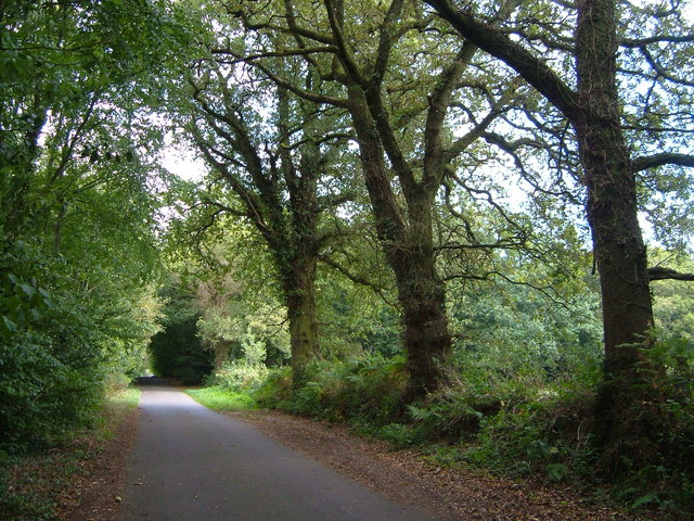
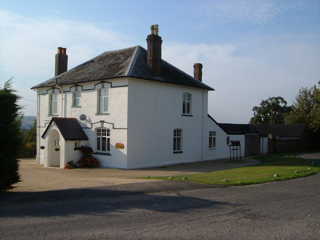
New Park Images
Images are sourced within 2km of 50.889496/-2.91822 or Grid Reference ST3510. Thanks to Geograph Open Source API. All images are credited.

New Park is located at Grid Ref: ST3510 (Lat: 50.889496, Lng: -2.91822)
Administrative County: Somerset
District: South Somerset
Police Authority: Avon and Somerset
What 3 Words
///rags.solicitor.stumps. Near Chard, Somerset
Nearby Locations
Related Wikis

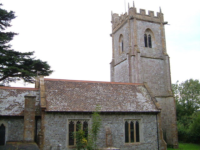
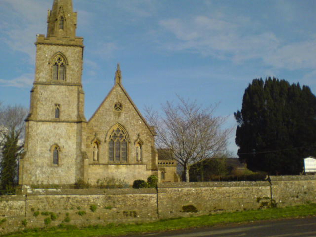
Church of St Michael and All Angels, Chaffcombe
The Anglican Church of St Michael and All Angels in Chaffcombe, Somerset, England was built in the 15th century. It is a Grade II* listed building. �...
Chaffcombe
Chaffcombe is a village and civil parish in Somerset, England, situated 2 miles (3.2 km) north east of Chard in the South Somerset district. The village...

Church of St Mary Magdalene, Cricket Malherbie
The Anglican Church of St Mary Magdalene in Cricket Malherbie, Somerset, England was built in the 12th century and rebuilt in 1855. It is a Grade II* listed...

Knowle St Giles
Knowle St Giles is a village and civil parish in the South Somerset district of Somerset, England, situated on the River Isle 2 miles (3 km) south of Ilminster...
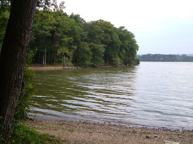
Chard Reservoir
Chard Reservoir is a 36.97-hectare (91.4-acre) reservoir north east of Chard Somerset, England. It is owned and managed by South Somerset District Council...

Church of St Michael, Cudworth
The Anglican Church of St Michael in Cudworth, Somerset, England was built in the 12th century. It is a Grade II* listed building. == History == The church...

Cudworth, Somerset
Cudworth (English: ) is a village and parish in Somerset, England, situated 5 miles (8.0 km) north east of Chard in the South Somerset district. The village...

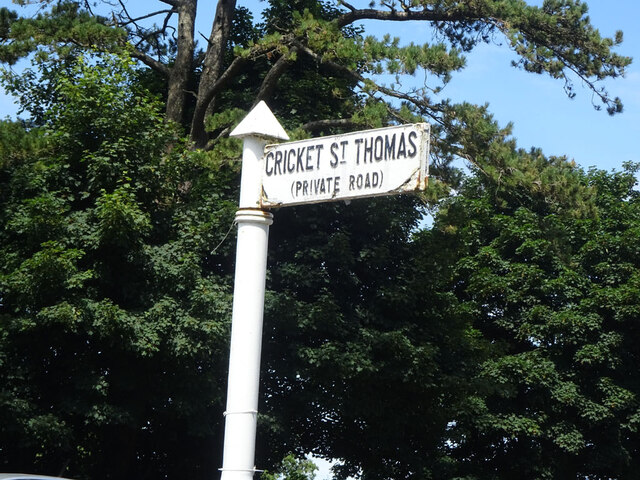
Cricket St Thomas
Cricket St Thomas is a parish in Somerset, England, situated in a valley between Chard and Crewkerne within the South Somerset administrative district...
Nearby Amenities
Located within 500m of 50.889496,-2.91822Have you been to New Park?
Leave your review of New Park below (or comments, questions and feedback).