Coronation Spinney
Wood, Forest in Somerset South Somerset
England
Coronation Spinney
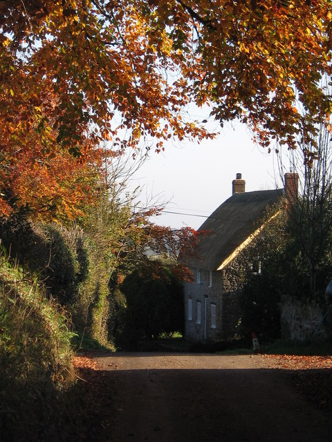
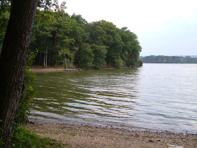
Coronation Spinney is a charming wood located in Somerset, England. Nestled amidst the picturesque countryside, this tranquil forest is a haven for nature enthusiasts and those seeking a peaceful escape from the hustle and bustle of city life. With its diverse range of flora and fauna, Coronation Spinney offers visitors a chance to immerse themselves in the beauty of the natural world.
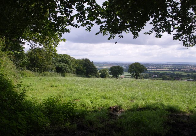
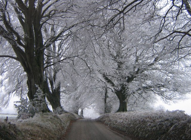
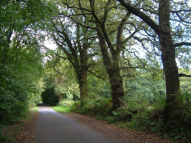
Covering an area of approximately 20 acres, this wood is home to a variety of tree species, including oak, beech, and birch, which create a dense canopy overhead. The forest floor is adorned with a carpet of bluebells and wildflowers during the spring, adding a vibrant touch to the landscape. The tall trees provide ample shade during the summer months, making it an ideal spot for a leisurely walk or a picnic.
Coronation Spinney also boasts a network of well-maintained footpaths, allowing visitors to explore the wood at their own pace. These trails wind their way through the forest, providing glimpses of the local wildlife, such as squirrels, rabbits, and a myriad of bird species. The peaceful atmosphere and natural beauty of the wood make it a popular spot for birdwatching and photography.
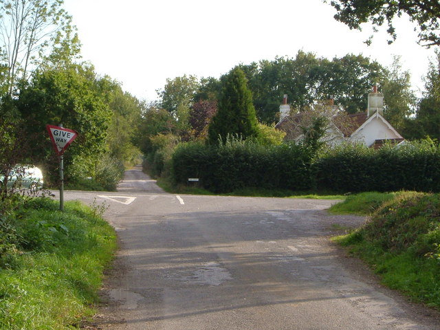
In addition to its natural charm, Coronation Spinney offers amenities for visitors, including picnic areas, benches, and information boards providing details about the wood's history and wildlife. The wood is easily accessible by car, with a small parking area available nearby.
Overall, Coronation Spinney is a hidden gem in Somerset, offering a serene and enchanting experience for nature lovers and those seeking solace in the great outdoors.
If you have any feedback on the listing, please let us know in the comments section below.
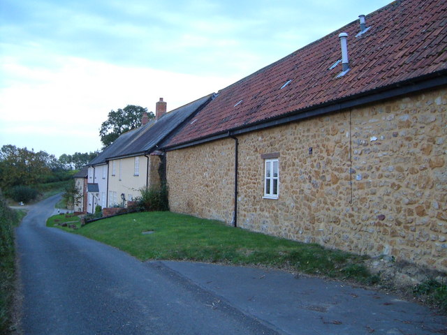
Coronation Spinney Images
Images are sourced within 2km of 50.888247/-2.9203991 or Grid Reference ST3510. Thanks to Geograph Open Source API. All images are credited.


Coronation Spinney is located at Grid Ref: ST3510 (Lat: 50.888247, Lng: -2.9203991)
Administrative County: Somerset
District: South Somerset
Police Authority: Avon and Somerset
What 3 Words
///piled.depravity.defaults. Near Chard, Somerset
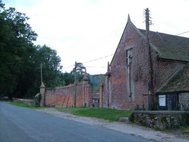
Nearby Locations
Related Wikis

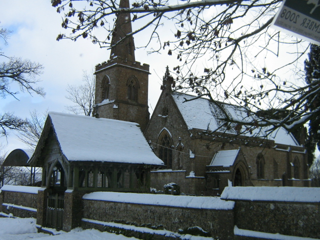
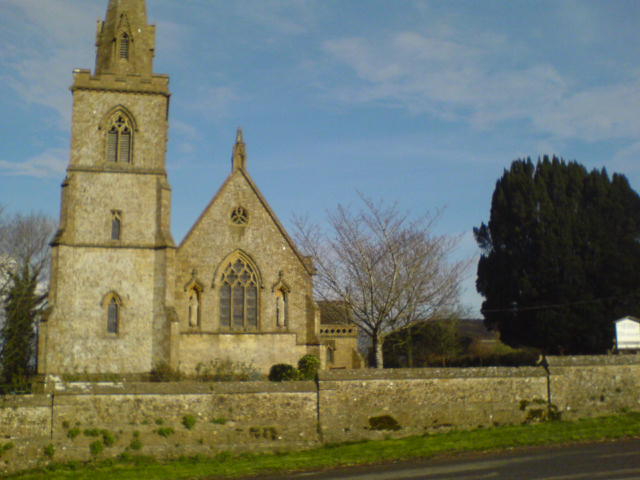
Church of St Michael and All Angels, Chaffcombe
The Anglican Church of St Michael and All Angels in Chaffcombe, Somerset, England was built in the 15th century. It is a Grade II* listed building. �...
Chaffcombe
Chaffcombe is a village and civil parish in Somerset, England, situated 2 miles (3.2 km) north east of Chard in the South Somerset district. The village...

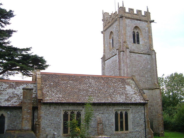
Church of St Mary Magdalene, Cricket Malherbie
The Anglican Church of St Mary Magdalene in Cricket Malherbie, Somerset, England was built in the 12th century and rebuilt in 1855. It is a Grade II* listed...

Knowle St Giles
Knowle St Giles is a village and civil parish in the South Somerset district of Somerset, England, situated on the River Isle 2 miles (3 km) south of Ilminster...
Chard Reservoir
Chard Reservoir is a 36.97-hectare (91.4-acre) reservoir north east of Chard Somerset, England. It is owned and managed by South Somerset District Council...

Church of St Michael, Cudworth
The Anglican Church of St Michael in Cudworth, Somerset, England was built in the 12th century. It is a Grade II* listed building. == History == The church...

Cudworth, Somerset
Cudworth (English: ) is a village and parish in Somerset, England, situated 5 miles (8.0 km) north east of Chard in the South Somerset district. The village...

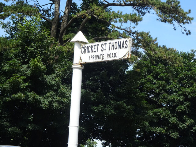
Cricket St Thomas
Cricket St Thomas is a parish in Somerset, England, situated in a valley between Chard and Crewkerne within the South Somerset administrative district...
Nearby Amenities
Located within 500m of 50.888247,-2.9203991Have you been to Coronation Spinney?
Leave your review of Coronation Spinney below (or comments, questions and feedback).