Boot Plantation
Wood, Forest in Roxburghshire
Scotland
Boot Plantation
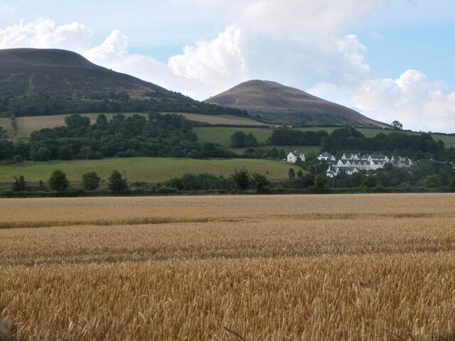
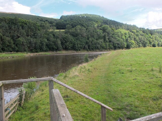
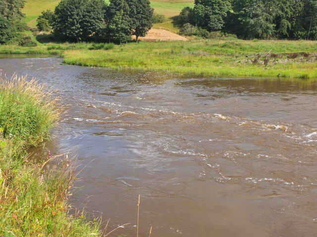
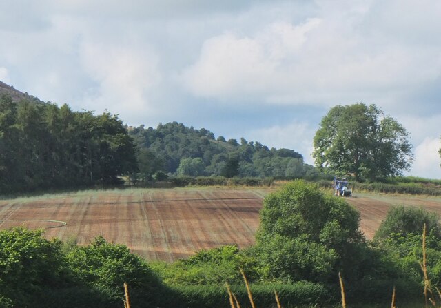
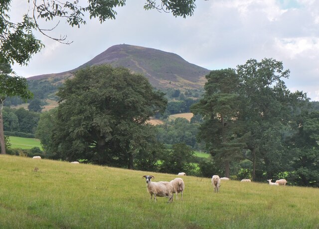
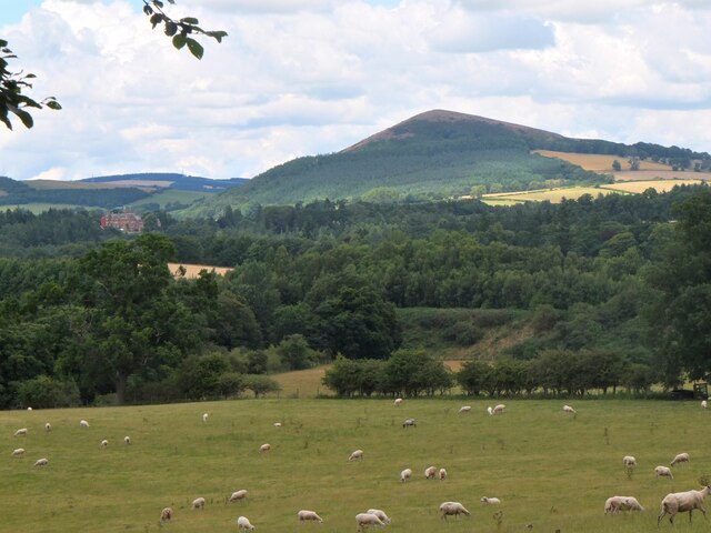
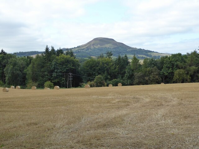
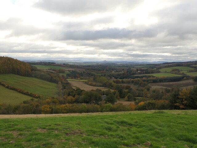
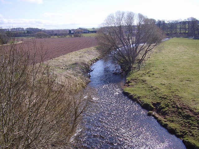
Boot Plantation is a picturesque woodland located in Roxburghshire, Scotland. With its lush greenery and enchanting atmosphere, this forested area covers a vast expanse of approximately 100 acres. Nestled amidst the rolling hills of the Scottish Borders, Boot Plantation offers a tranquil escape for nature lovers, hikers, and wildlife enthusiasts alike.
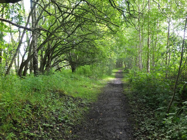
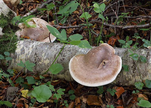
The woodland is predominantly composed of native species, including oak, beech, and birch trees, which create a diverse and vibrant ecosystem. The dense canopy provides a haven for a wide array of wildlife species, such as red squirrels, deer, and a variety of bird species. Birdwatchers can spot woodland birds like woodpeckers, owls, and thrushes in their natural habitat.
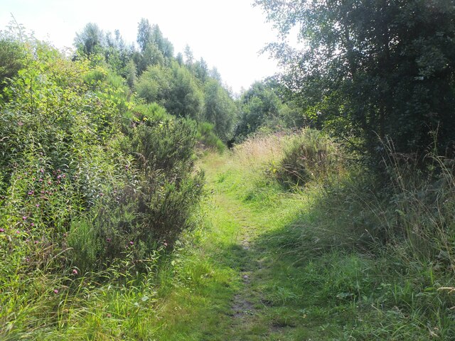
Visitors to Boot Plantation can explore the forest through a network of well-maintained walking trails that meander through the woodland, offering stunning views and a chance to immerse oneself in the peaceful ambiance. The trails cater to different fitness levels, from leisurely strolls to more challenging hikes, ensuring that there is something for everyone to enjoy.
The plantation is also home to a variety of wildflowers and plants, adding bursts of color throughout the forest. In spring, bluebells carpet the woodland floor, creating a magical and ethereal sight. This biodiversity makes Boot Plantation a perfect destination for nature photographers and botany enthusiasts.
Boot Plantation, with its natural beauty and serene atmosphere, provides an idyllic setting for picnics, family outings, and quiet contemplation amidst nature. Its accessibility and well-preserved trails make it a popular destination for locals and tourists alike, seeking solace and connection with the natural world.
If you have any feedback on the listing, please let us know in the comments section below.
Boot Plantation Images
Images are sourced within 2km of 55.607067/-2.6916511 or Grid Reference NT5635. Thanks to Geograph Open Source API. All images are credited.
Boot Plantation is located at Grid Ref: NT5635 (Lat: 55.607067, Lng: -2.6916511)
Unitary Authority: The Scottish Borders
Police Authority: The Lothians and Scottish Borders
What 3 Words
///situates.goad.elephant. Near Melrose, Scottish Borders
Related Wikis
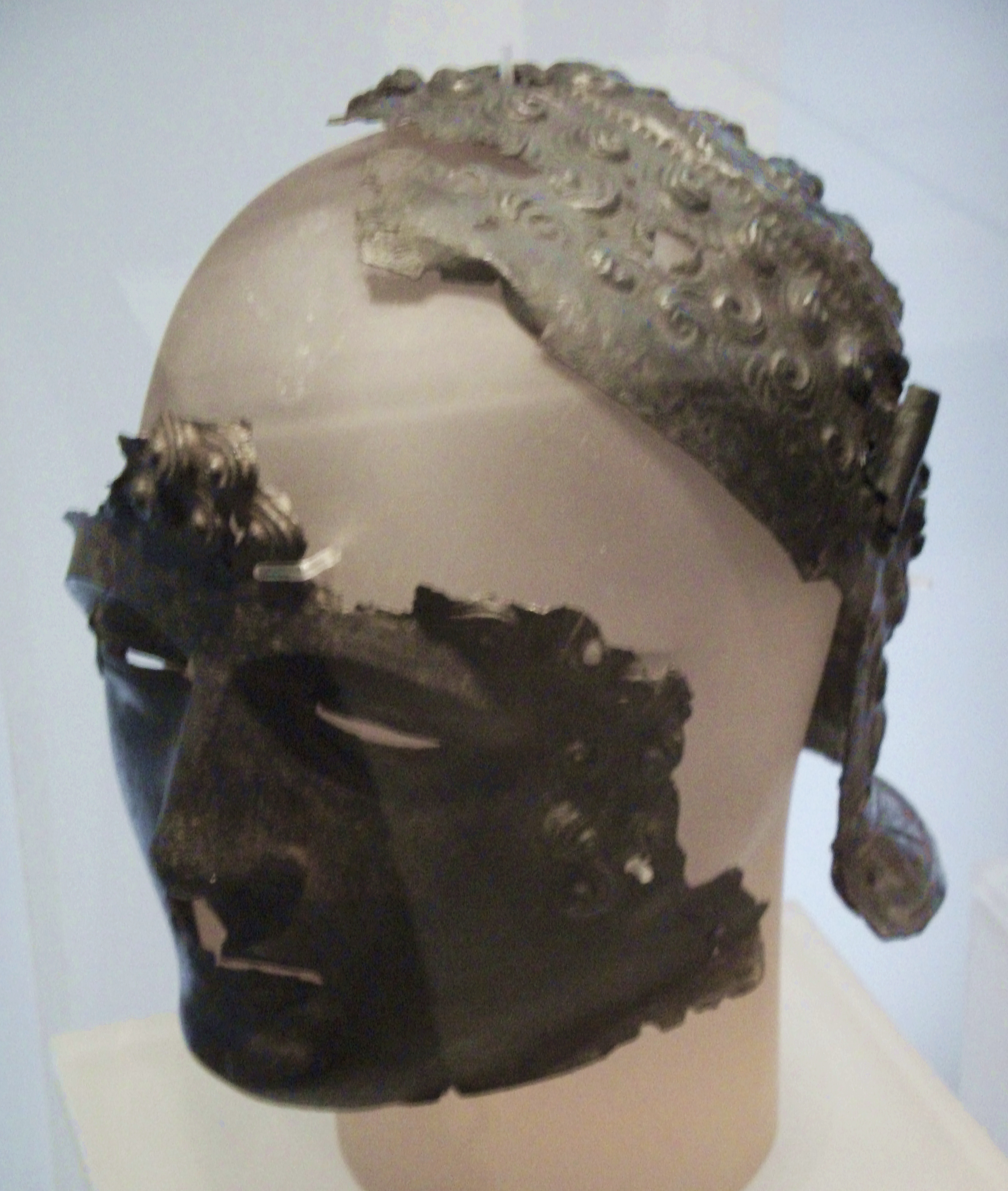
Newstead Helmet
The Newstead Helmet is an iron Roman cavalry helmet dating to 80–100 AD that was discovered at the site of a Roman fort in Newstead, near Melrose in Roxburghshire...

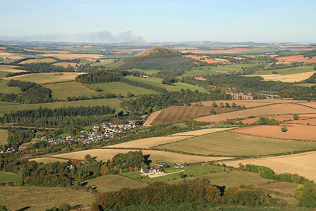
Trimontium (Newstead)
Trimontium was a Roman fort complex in Scotland. It is located at Newstead, near Melrose, in the Scottish Borders, in view of the three Eildon Hills which...

Leaderfoot Viaduct
The Leaderfoot Viaduct, also known as the Drygrange Viaduct, is a railway viaduct over the River Tweed near Melrose in the Scottish Borders. == History... ==

Newstead railway station (Scotland)
Newstead railway station or Bradshaw railway station, as it was referred to in early editions of the timetable, served the village of Newstead, Melrose...
Newstead, Scottish Borders
Newstead is a village in the Scottish Borders, about 1+1⁄4 miles (2 kilometres) east of Melrose. It has a population of approximately 260, according to...

Drygrange Old Bridge
The Drygrange Old Bridge is a disused road bridge over the River Tweed near Melrose in the Scottish Borders. == History == It was built between 1776 and...
Leader Water
Leader Water is a small tributary of the River Tweed in Lauderdale in the Scottish Borders. It flows southwards from the Lammermuir Hills through the towns...

St Andrew's College, Drygrange
St Andrew's College, Drygrange, located near Melrose, Scotland, was a Roman Catholic seminary founded in 1953 and closed in 1986. == History == === Foundation... ===
Nearby Amenities
Located within 500m of 55.607067,-2.6916511Have you been to Boot Plantation?
Leave your review of Boot Plantation below (or comments, questions and feedback).