Camp Plantation
Wood, Forest in Roxburghshire
Scotland
Camp Plantation
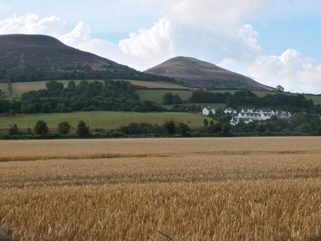
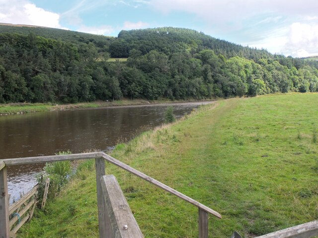
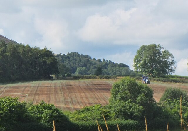
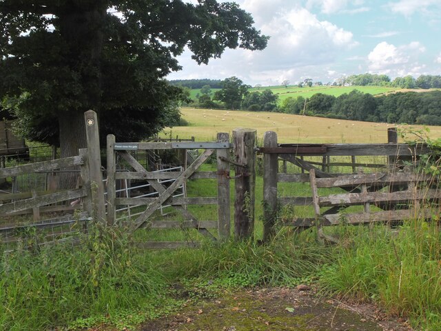
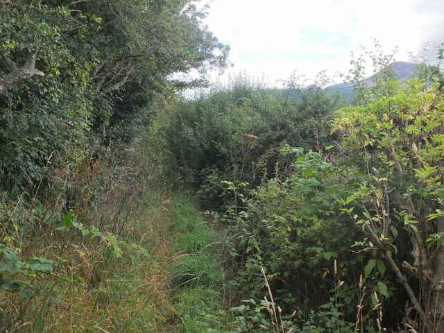
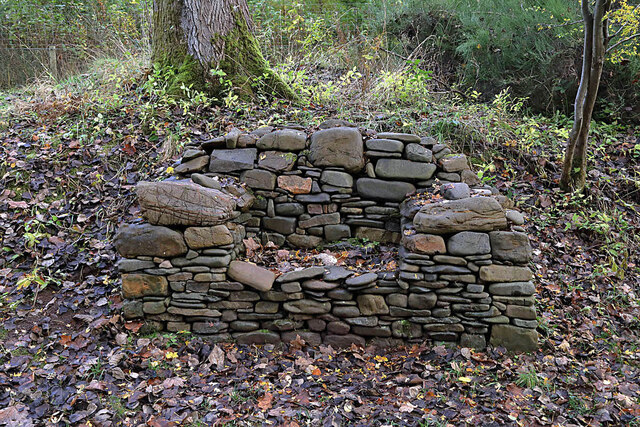
Camp Plantation is a picturesque woodland area located in Roxburghshire, Scotland. Situated near the town of Hawick, the plantation covers an expansive area of lush greenery and is known for its abundant variety of trees and wildlife.
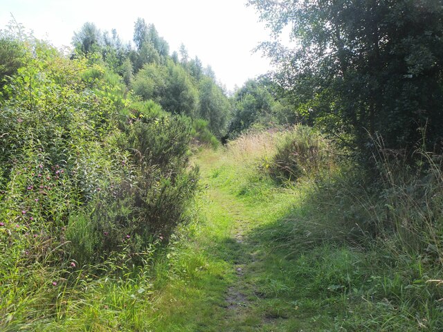
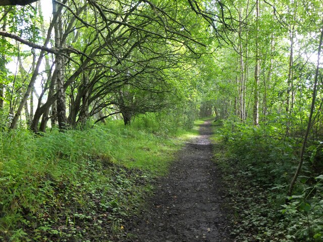
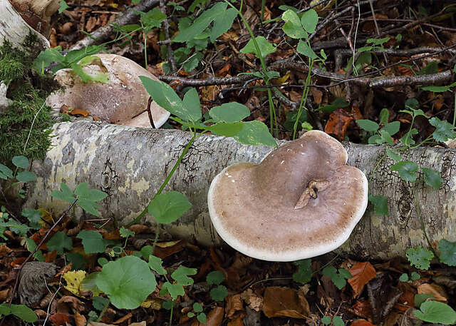
The woodland is primarily composed of native species such as oak, birch, and beech trees, which form a dense canopy overhead, providing shade and shelter for the diverse array of flora and fauna that call Camp Plantation home. The forest floor is carpeted with a rich tapestry of ferns, mosses, and wildflowers, creating a vibrant and enchanting atmosphere.
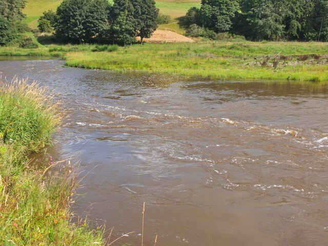
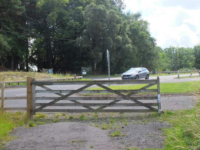
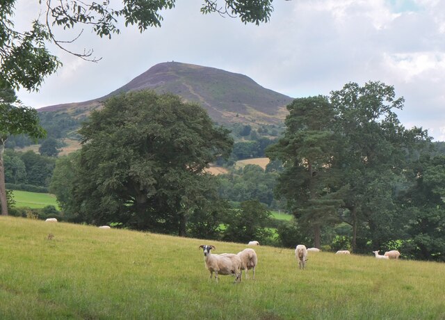
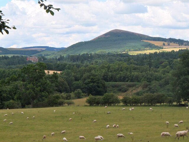
Nature enthusiasts and outdoor lovers flock to Camp Plantation to immerse themselves in the tranquil surroundings and witness the beauty of the natural world. The area offers numerous walking trails and paths, allowing visitors to explore the woodland at their own pace. Along these paths, visitors can spot a variety of wildlife, including red squirrels, roe deer, and a wide range of bird species.
Camp Plantation is not only a haven for nature lovers but also serves as an important ecological site. The diverse range of trees and plants provides a vital habitat for many species, contributing to the overall biodiversity of the region.
Overall, Camp Plantation in Roxburghshire is a captivating woodland retreat, offering visitors a chance to escape the hustle and bustle of everyday life and reconnect with nature. Whether it is a leisurely stroll, birdwatching, or simply enjoying the serenity of the surroundings, this wood is a true gem for those seeking a peaceful and immersive outdoor experience.
If you have any feedback on the listing, please let us know in the comments section below.
Camp Plantation Images
Images are sourced within 2km of 55.607355/-2.68691 or Grid Reference NT5635. Thanks to Geograph Open Source API. All images are credited.
Camp Plantation is located at Grid Ref: NT5635 (Lat: 55.607355, Lng: -2.68691)
Unitary Authority: The Scottish Borders
Police Authority: The Lothians and Scottish Borders
What 3 Words
///toasted.assurance.jets. Near Melrose, Scottish Borders
Related Wikis
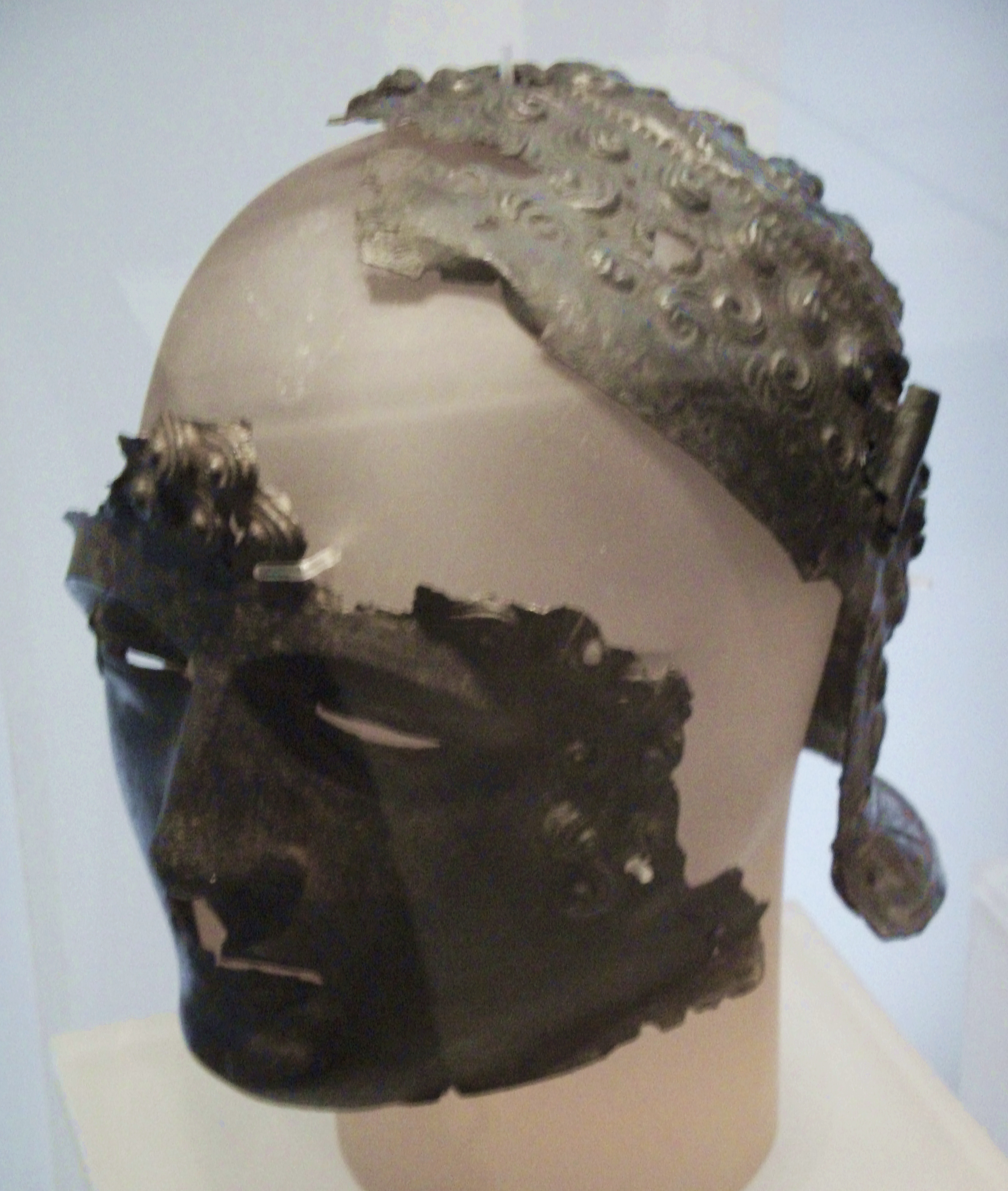
Newstead Helmet
The Newstead Helmet is an iron Roman cavalry helmet dating to 80–100 AD that was discovered at the site of a Roman fort in Newstead, near Melrose in Roxburghshire...

Leaderfoot Viaduct
The Leaderfoot Viaduct, also known as the Drygrange Viaduct, is a railway viaduct over the River Tweed near Melrose in the Scottish Borders. == History... ==

Trimontium (Newstead)
Trimontium was a Roman fort complex located at Newstead, near Melrose, in the Scottish Borders, in view of the three Eildon Hills which probably gave its...

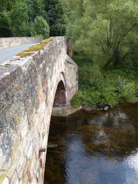
Drygrange Old Bridge
The Drygrange Old Bridge is a disused road bridge over the River Tweed near Melrose in the Scottish Borders. == History == It was built between 1776 and...
Nearby Amenities
Located within 500m of 55.607355,-2.68691Have you been to Camp Plantation?
Leave your review of Camp Plantation below (or comments, questions and feedback).