Easter Hill
Hill, Mountain in Roxburghshire
Scotland
Easter Hill
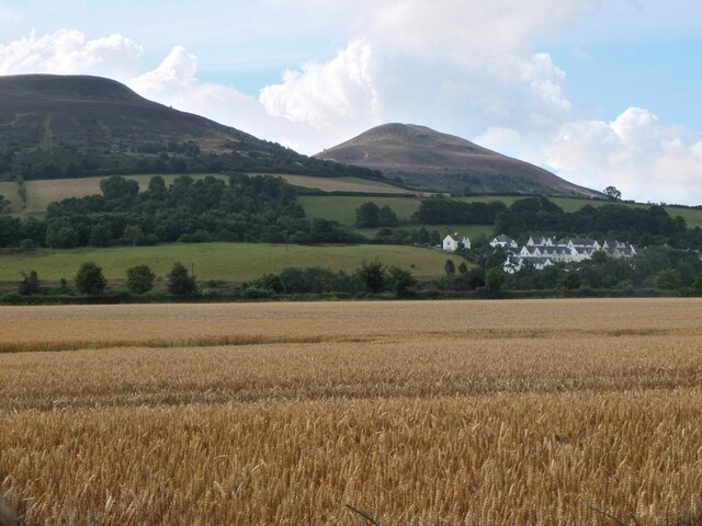
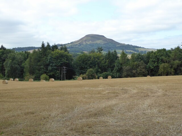
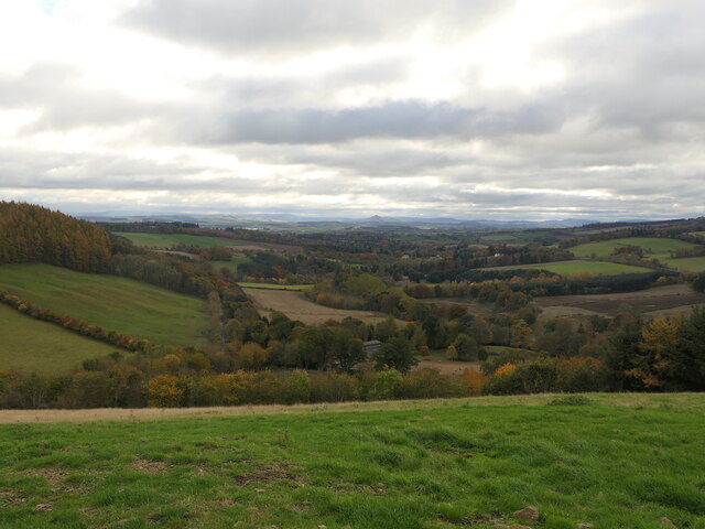
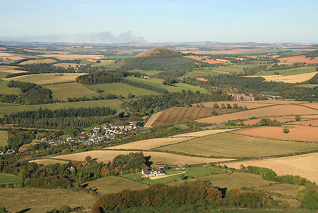
Easter Hill is a prominent hill located in Roxburghshire, a historic county in the Scottish Borders region of Scotland. Rising to an elevation of approximately 340 meters (1,115 feet), it offers stunning panoramic views of the surrounding landscape.
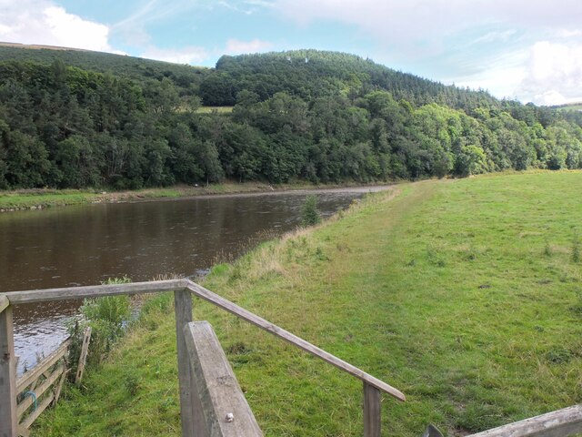
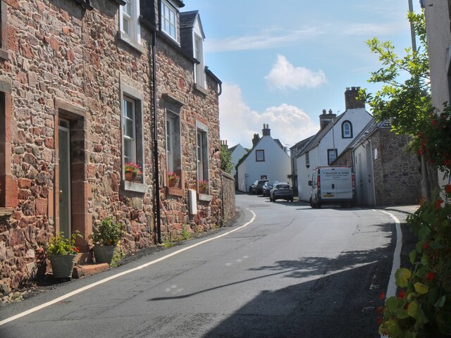
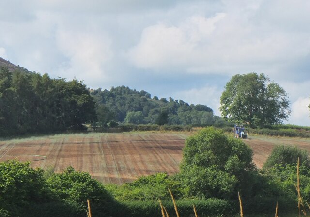
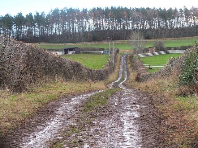
Situated near the village of Morebattle, Easter Hill is part of a range of rolling hills that form a picturesque backdrop to the region. It is characterized by its gentle slopes covered in lush green grass, dotted with patches of heather and shrubs. The hill is known for its tranquil and unspoiled natural beauty, attracting hikers, nature enthusiasts, and photographers.
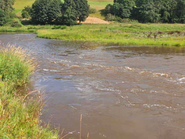
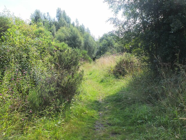
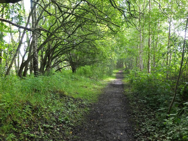
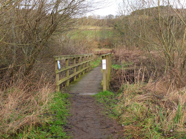
Easter Hill is easily accessible via well-defined footpaths, making it a popular destination for outdoor activities. The ascent to the summit is relatively moderate, making it suitable for all skill levels. As visitors make their way up, they can enjoy the breathtaking vistas of the surrounding farmland, quaint villages, and the meandering River Tweed.
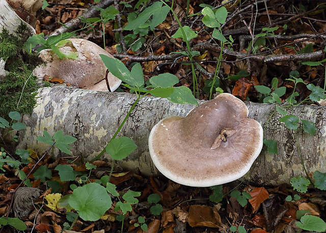
The hill is home to a diverse range of flora and fauna, including various species of birds, rabbits, and occasionally deer. The area is also known for its wildflowers, which bloom in vibrant colors during the spring and summer months.
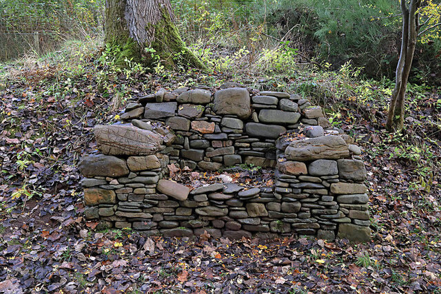
Easter Hill holds historical significance as well. It is believed to have been a site of ancient settlements, and remnants of prehistoric structures have been discovered in the vicinity. Exploring the hill not only offers a chance to appreciate its natural splendor but also provides an opportunity to connect with the region's rich cultural heritage.
If you have any feedback on the listing, please let us know in the comments section below.
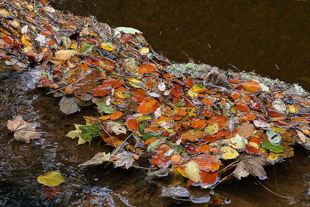
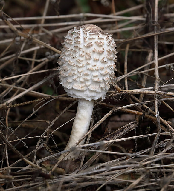
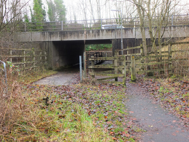
Easter Hill Images
Images are sourced within 2km of 55.609466/-2.6886137 or Grid Reference NT5635. Thanks to Geograph Open Source API. All images are credited.
Easter Hill is located at Grid Ref: NT5635 (Lat: 55.609466, Lng: -2.6886137)
Unitary Authority: The Scottish Borders
Police Authority: The Lothians and Scottish Borders
What 3 Words
///giggled.natively.dolls. Near Melrose, Scottish Borders
Related Wikis
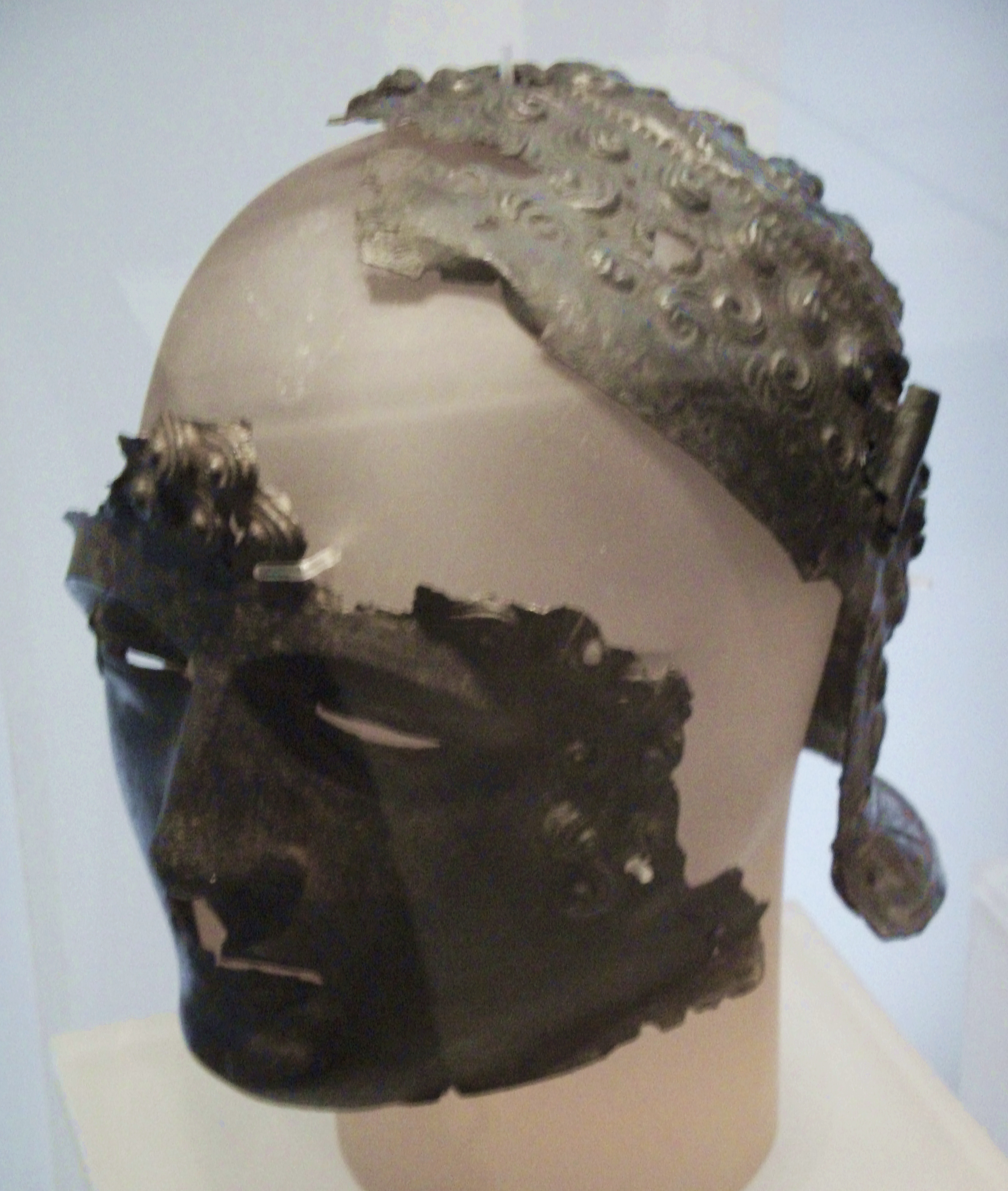
Newstead Helmet
The Newstead Helmet is an iron Roman cavalry helmet dating to 80–100 AD that was discovered at the site of a Roman fort in Newstead, near Melrose in Roxburghshire...

Leaderfoot Viaduct
The Leaderfoot Viaduct, also known as the Drygrange Viaduct, is a railway viaduct over the River Tweed near Melrose in the Scottish Borders. == History... ==

Trimontium (Newstead)
Trimontium was a Roman fort complex in Scotland. It is located at Newstead, near Melrose, in the Scottish Borders, in view of the three Eildon Hills which...

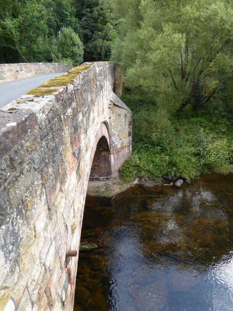
Drygrange Old Bridge
The Drygrange Old Bridge is a disused road bridge over the River Tweed near Melrose in the Scottish Borders. == History == It was built between 1776 and...

St Andrew's College, Drygrange
St Andrew's College, Drygrange, located near Melrose, Scotland, was a Roman Catholic seminary founded in 1953 and closed in 1986. == History == === Foundation... ===
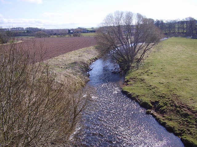
Leader Water
Leader Water is a small tributary of the River Tweed in Lauderdale in the Scottish Borders. It flows southwards from the Lammermuir Hills through the towns...

Newstead railway station (Scotland)
Newstead railway station or Bradshaw railway station, as it was referred to in early editions of the timetable, served the village of Newstead, Melrose...
Newstead, Scottish Borders
Newstead is a village in the Scottish Borders, about 1+1⁄4 miles (2 kilometres) east of Melrose. It has a population of approximately 260, according to...
Nearby Amenities
Located within 500m of 55.609466,-2.6886137Have you been to Easter Hill?
Leave your review of Easter Hill below (or comments, questions and feedback).