Wether Hill
Hill, Mountain in Banffshire
Scotland
Wether Hill

Wether Hill is a prominent hill located in the region of Banffshire, Scotland. Situated in the eastern part of the country, it forms part of the stunning Cairngorms National Park. With an elevation of approximately 810 meters (2,657 feet), Wether Hill offers breathtaking views of the surrounding area, making it a popular destination for hikers, mountaineers, and nature enthusiasts.
The hill is known for its distinctive conical shape and rocky terrain, which adds to its charm. Its slopes are covered with heather, grasses, and scattered boulders, creating a picturesque landscape. Wether Hill boasts a rich biodiversity with various plant and animal species thriving in its diverse habitats.
Reaching the summit of Wether Hill requires a moderate level of fitness and hiking experience. There are several well-marked trails and paths leading to the top, offering visitors different options to choose from depending on their preferences and abilities. Along the way, hikers may encounter streams, waterfalls, and occasional wildlife sightings, enhancing the overall experience.
The panoramic views from the summit of Wether Hill are truly breathtaking, with sweeping vistas of the surrounding mountains, glens, and lochs. On a clear day, it is possible to see as far as the North Sea coastline.
Overall, Wether Hill provides a fantastic opportunity to experience the natural beauty of the Scottish Highlands. With its challenging yet rewarding hike and stunning views, it is a must-visit destination for outdoor enthusiasts seeking an unforgettable adventure.
If you have any feedback on the listing, please let us know in the comments section below.
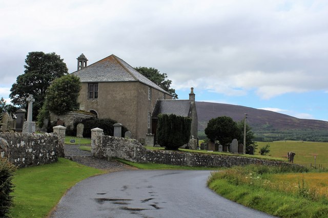
Wether Hill Images
Images are sourced within 2km of 57.575891/-2.725396 or Grid Reference NJ5654. Thanks to Geograph Open Source API. All images are credited.


Wether Hill is located at Grid Ref: NJ5654 (Lat: 57.575891, Lng: -2.725396)
Unitary Authority: Aberdeenshire
Police Authority: North East
What 3 Words
///alternate.concerts.ideals. Near Aberchirder, Aberdeenshire
Nearby Locations
Related Wikis

Glenbarry railway station
Glenbarry railway station, previously known as Barry was an intermediate stop with a passing loop situated on the Great North of Scotland Railway (GNoSR...
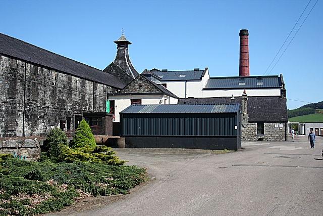
Knockdhu distillery
Knockdhu distillery is a whisky distillery situated in Knock, Banffshire and owned by Inver House Distillers Limited. == History == The distillery was...

Knock railway station (Scotland)
Knock railway station was an intermediate stop situated on the Great North of Scotland Railway (GNoSR) line from Grange and Cairnie Junction to Tillynaught...

Castle of Park (Aberdeenshire)
Park or Castle of Park, is an A-listed rambling baronial mansion incorporating a 16th-century tower house. It is 4 miles (6.4 km) north-west of Aberchirder...

Cornhill, Aberdeenshire
Cornhill (Scottish Gaelic: Cnoc an Arbhair) is a small village close to Banff, Aberdeenshire, Scotland. It lies 5 miles (8.0 km) to the south of Portsoy...
Cornhill railway station
Cornhill railway station was an intermediate stop situated on the Great North of Scotland Railway (GNoSR) line from Cairnie Junction to Tillynaught. There...

Aberchirder
Aberchirder (Scots: Fogieloan, Scottish Gaelic: Obar Chiardair) known locally as Foggieloan or Foggie, is a village in Aberdeenshire, Scotland, situated...

Millegin railway station
Millegin railway station, Millagan railway station or later Millegin Siding was briefly an intermediate stop situated on what became the Great North of...
Nearby Amenities
Located within 500m of 57.575891,-2.725396Have you been to Wether Hill?
Leave your review of Wether Hill below (or comments, questions and feedback).