Canterbury Wood
Wood, Forest in Banffshire
Scotland
Canterbury Wood
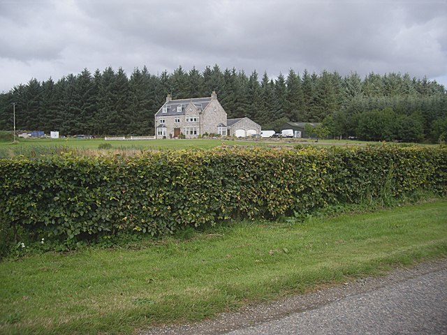
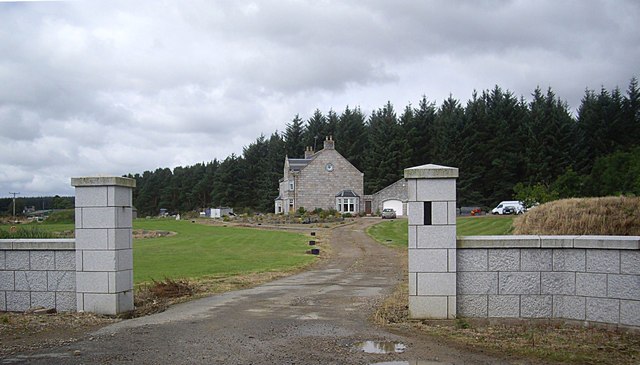
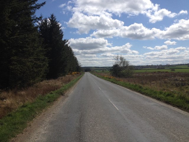
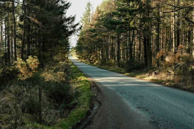
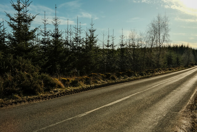
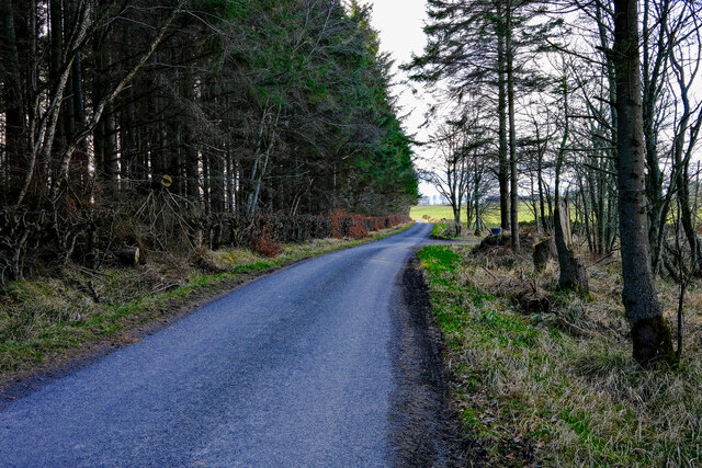
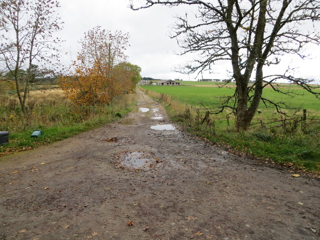
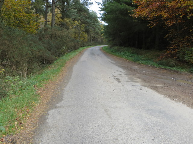
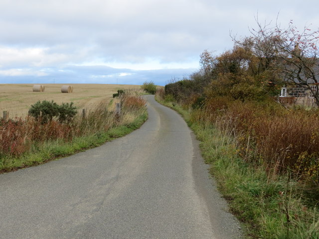
Canterbury Wood is a sprawling forest located in the county of Banffshire, Scotland. Spanning over a vast area, this woodland is known for its rich biodiversity and stunning natural beauty. The forest is situated in a rural area, surrounded by rolling hills and picturesque landscapes.
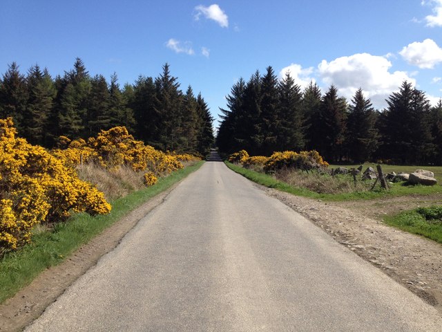
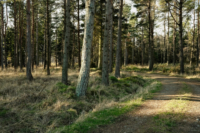
Canterbury Wood is predominantly composed of native tree species, including oak, birch, and pine, which create a dense canopy that provides shade and habitat for a variety of wildlife. The forest floor is adorned with a diverse range of flora, such as bluebells, ferns, and heather, adding to the enchanting atmosphere of the woodland.
The forest is home to a plethora of wildlife species, making it a popular destination for nature enthusiasts and wildlife photographers. Visitors may spot red squirrels, roe deer, and numerous species of birds, including woodpeckers and owls. Canterbury Wood is also known for its population of Scottish wildcats, which are a rare and protected species.
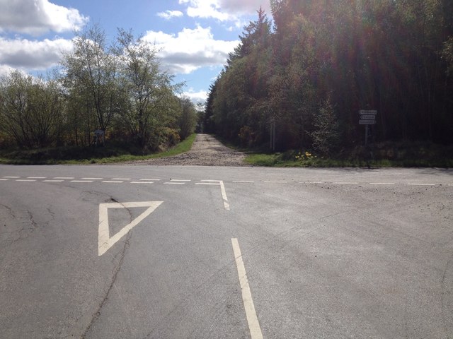
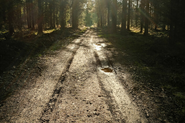
The forest offers a network of well-maintained walking trails, allowing visitors to explore its beauty at their own pace. These paths wind through the woodland, offering stunning views and opportunities for peaceful reflection. Additionally, Canterbury Wood is equipped with picnic areas and benches, providing visitors with a chance to relax and enjoy a meal amidst nature.
Overall, Canterbury Wood is a captivating forest in Banffshire, offering a unique and immersive experience for those seeking to connect with nature and explore the wonders of the Scottish countryside.
If you have any feedback on the listing, please let us know in the comments section below.
Canterbury Wood Images
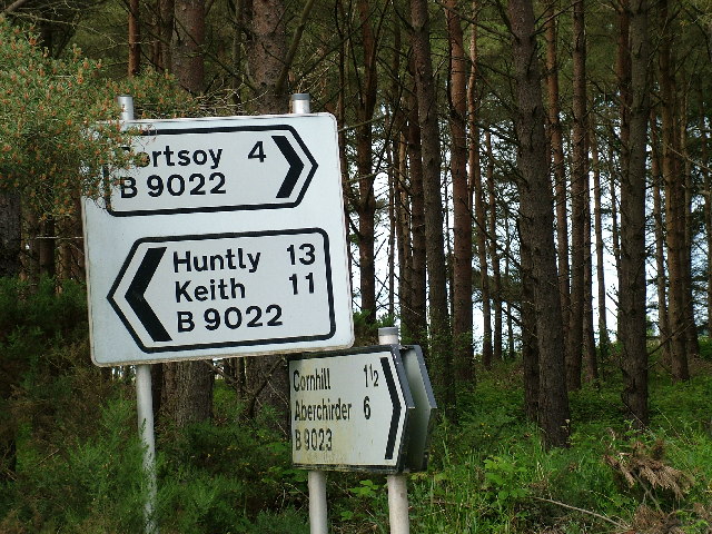
Images are sourced within 2km of 57.626276/-2.7297156 or Grid Reference NJ5659. Thanks to Geograph Open Source API. All images are credited.
Canterbury Wood is located at Grid Ref: NJ5659 (Lat: 57.626276, Lng: -2.7297156)
Unitary Authority: Aberdeenshire
Police Authority: North East
What 3 Words
///blues.clattered.dives. Near Portsoy, Aberdeenshire
Nearby Locations
Related Wikis

Cornhill railway station
Cornhill railway station was an intermediate stop situated on the Great North of Scotland Railway (GNoSR) line from Cairnie Junction to Tillynaught. There...

Cornhill, Aberdeenshire
Cornhill (Scottish Gaelic: Cnoc an Arbhair) is a small village close to Banff, Aberdeenshire, Scotland. It lies 5 miles (8.0 km) to the south of Portsoy...

Castle of Park (Aberdeenshire)
Park or Castle of Park, is an A-listed rambling baronial mansion incorporating a 16th-century tower house. It is 4 miles (6.4 km) north-west of Aberchirder...

Tillynaught railway station
Tillynaught railway station or Tillynaught Junction was a junction railway station in what is now Aberdeenshire, Parish of Fordyce, 6 miles south-west...
Nearby Amenities
Located within 500m of 57.626276,-2.7297156Have you been to Canterbury Wood?
Leave your review of Canterbury Wood below (or comments, questions and feedback).