Noutlair Plantation
Wood, Forest in Roxburghshire
Scotland
Noutlair Plantation
The requested URL returned error: 429 Too Many Requests
If you have any feedback on the listing, please let us know in the comments section below.
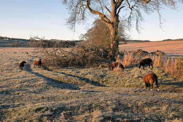
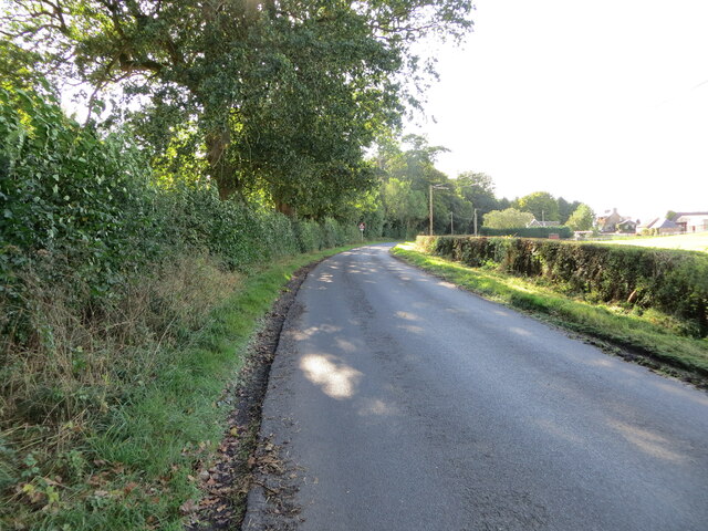
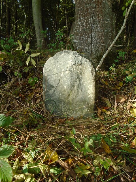
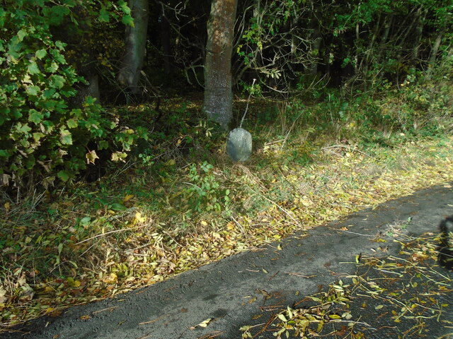
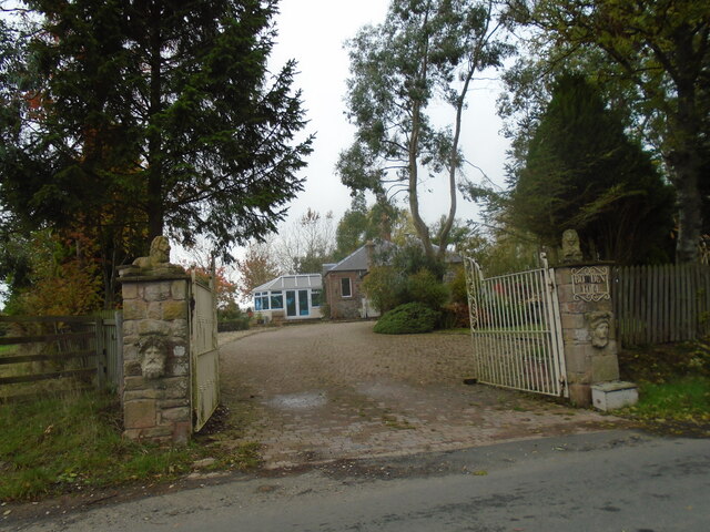
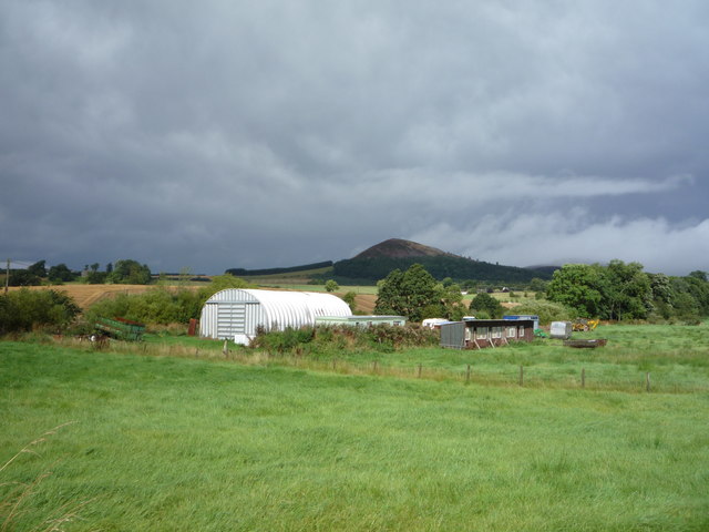
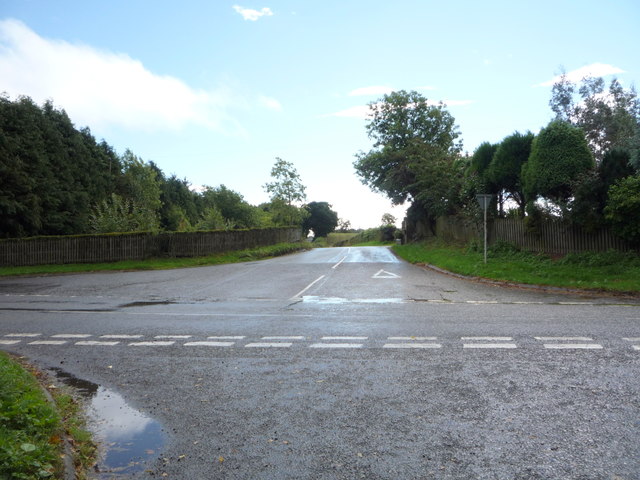
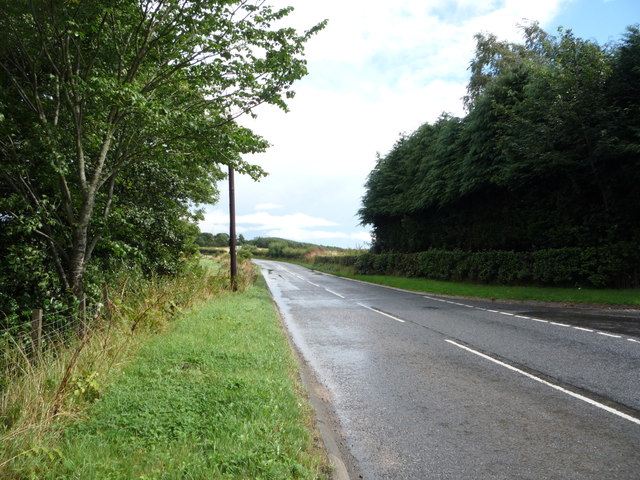
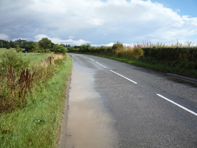
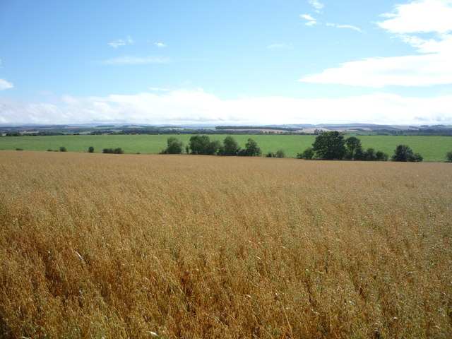
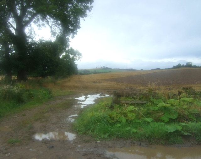
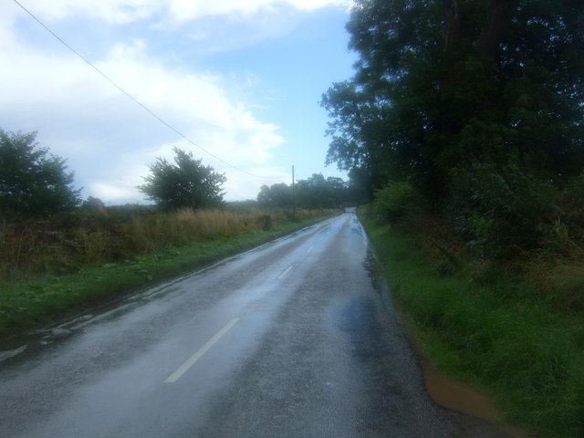
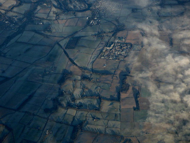
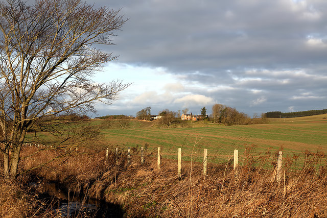
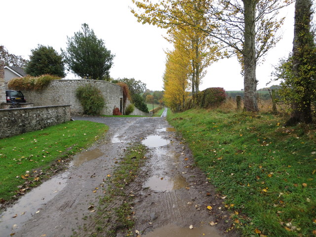
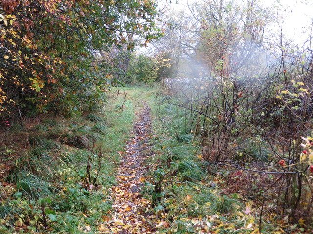
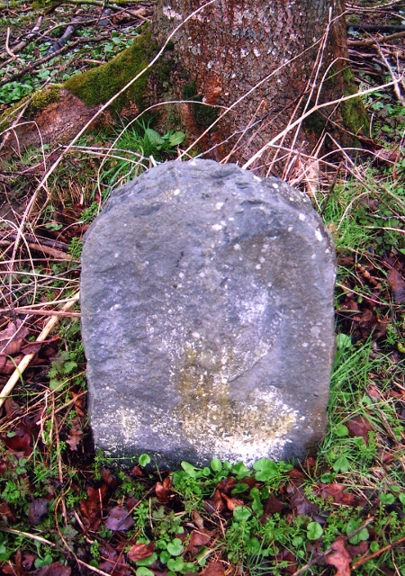
Noutlair Plantation Images
Images are sourced within 2km of 55.551934/-2.6912687 or Grid Reference NT5628. Thanks to Geograph Open Source API. All images are credited.

Noutlair Plantation is located at Grid Ref: NT5628 (Lat: 55.551934, Lng: -2.6912687)
Unitary Authority: The Scottish Borders
Police Authority: The Lothians and Scottish Borders
What 3 Words
///assess.risky.newlyweds. Near Newtown St Boswells, Scottish Borders
Nearby Locations
Related Wikis

Charlesfield Halt railway station
Charlesfield Halt railway station served the village of Charlesfield, Melrose, Scotland, from 1942 to 1961 on the Waverley Route. == History == The station...

Bowden, Scottish Borders
Bowden is a village in the Roxburghshire area of the Scottish Borders, situated 3 miles (5 kilometres) south of Melrose, 2 miles (3 kilometres) west of...

Newtown St Boswells
Newtown St Boswells (Scots: Newtoon; Scottish Gaelic: Baile Ùr Bhoisil [ˈpaləˈuːɾˈvɔʃɪl]) is a village in the Scottish Borders council area, in south-east...
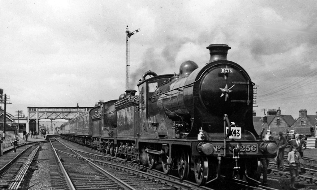
St. Boswells railway station
St Boswells railway station was a railway station that served the villages of Newtown St Boswells and St Boswells, Scottish Borders, Scotland from 1849...
Nearby Amenities
Located within 500m of 55.551934,-2.6912687Have you been to Noutlair Plantation?
Leave your review of Noutlair Plantation below (or comments, questions and feedback).