Clackmae Strips
Wood, Forest in Roxburghshire
Scotland
Clackmae Strips
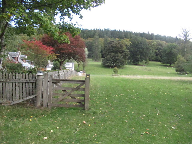
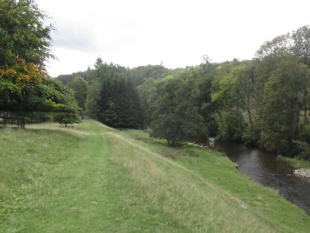
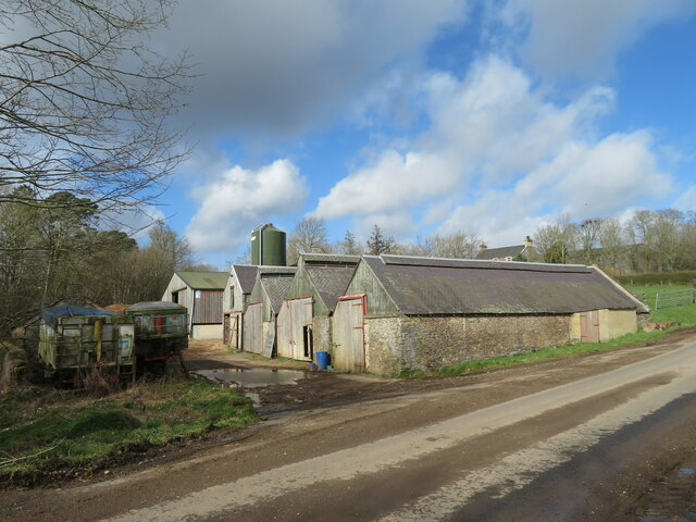
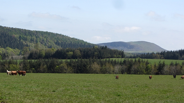
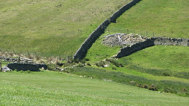
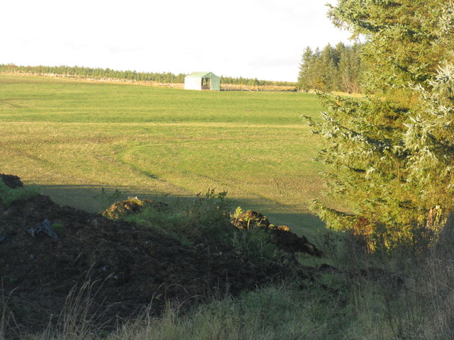
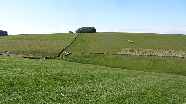
Clackmae Strips is a wooded area located in Roxburghshire, Scotland. Situated in the southern part of the county, it is known for its rich forest landscape and diverse flora and fauna. The strips cover an extensive area, providing ample space for outdoor activities and exploration.
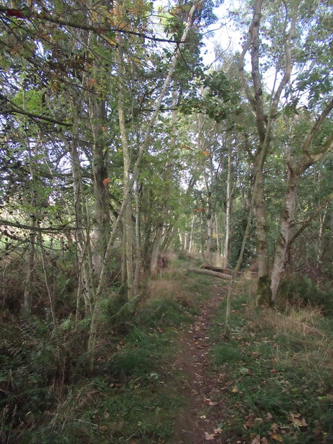
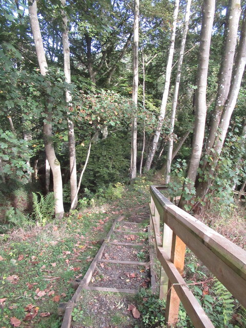
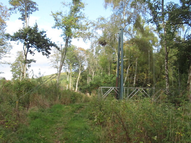
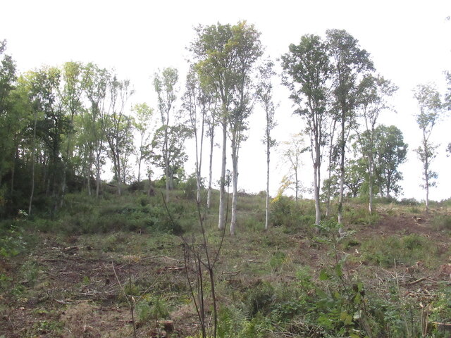
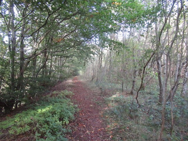
The forest is primarily composed of deciduous and coniferous trees, creating a picturesque scenery throughout the year. Visitors can expect to see a variety of tree species such as oak, birch, beech, and pine. The dense foliage offers a peaceful and tranquil environment, making it a popular destination for nature enthusiasts and hikers.
Wildlife is abundant in Clackmae Strips, with numerous species calling it home. The forest provides an ideal habitat for a range of bird species, including woodpeckers, owls, and various songbirds. Mammals such as red squirrels, deer, and rabbits can also be spotted throughout the area.
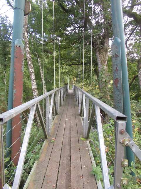
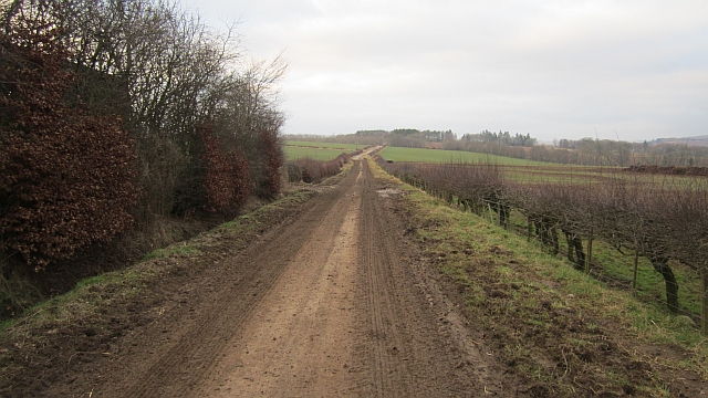
For those looking to explore the forest, there are several well-maintained walking trails that wind through the woodland. These paths offer stunning views of the surrounding countryside and provide an opportunity to immerse oneself in nature. Additionally, there are picnic areas and designated camping spots available for visitors who wish to spend more time in the area.
Clackmae Strips is a haven for nature lovers, offering a serene and beautiful environment to escape the hustle and bustle of everyday life. Whether for a peaceful walk, wildlife spotting, or simply enjoying the natural beauty, this woodland in Roxburghshire is a must-visit destination.
If you have any feedback on the listing, please let us know in the comments section below.
Clackmae Strips Images
Images are sourced within 2km of 55.64203/-2.7151133 or Grid Reference NT5538. Thanks to Geograph Open Source API. All images are credited.


Clackmae Strips is located at Grid Ref: NT5538 (Lat: 55.64203, Lng: -2.7151133)
Unitary Authority: The Scottish Borders
Police Authority: The Lothians and Scottish Borders
What 3 Words
///cherub.fortnight.stone. Near Earlston, Scottish Borders
Nearby Locations
Related Wikis

Carolside, Scottish Borders
Carolside is an estate by the Leader Water, in the Scottish Borders. It is located one mile (1.6 km) north of Earlston, in the former county of Berwickshire...

Rhymer's Tower
Rhymer's Tower, also known as Earlston Castle, is located near the village of Earlston, Scottish Borders, Scotland. The castle was the caput baroniae of...

A6105 road
The A6105 road is an A road in the Scottish Borders, Scotland and Northumberland, England. It runs from the village of Earlston to Berwick on Tweed going...
Earlston
Earlston (Scots: Yerlston; Scottish Gaelic: Dùn Airchill) is a civil parish and market town in the county of Berwickshire, within the Scottish Borders...

Earlston railway station
Earlston railway station, in the Scottish Borders village of Earlston, was a station on the now disused Berwickshire Railway.There were two platforms...

Birkenside, Scottish Borders
Birkenside is a village in the Scottish Borders, Scotland.

Earlston High School
Earlston High School is a secondary school in Earlston, Scottish Borders. It serves Earlston, as well as the surrounding area. Since 2009, the school has...

Gattonside
Gattonside is a small village in the Scottish Borders. It is located 1 kilometre (0.62 mi) north of Melrose, on the north side of the River Tweed. In 1143...
Nearby Amenities
Located within 500m of 55.64203,-2.7151133Have you been to Clackmae Strips?
Leave your review of Clackmae Strips below (or comments, questions and feedback).