Greenside Plantation
Wood, Forest in Roxburghshire
Scotland
Greenside Plantation
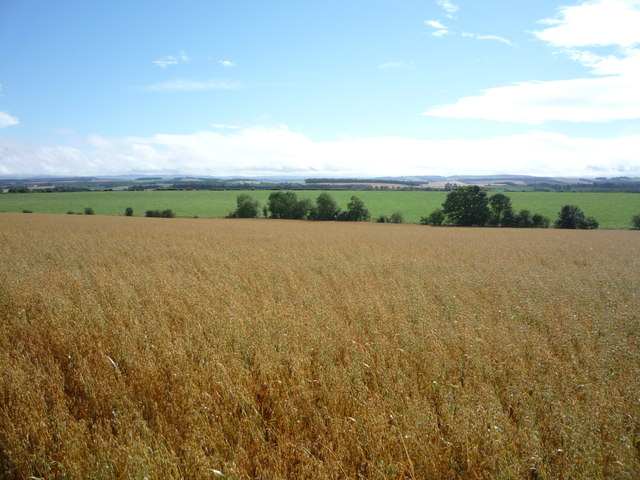
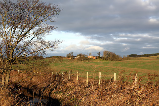
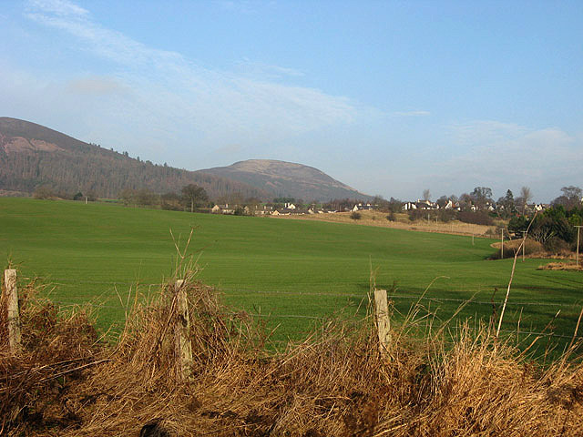
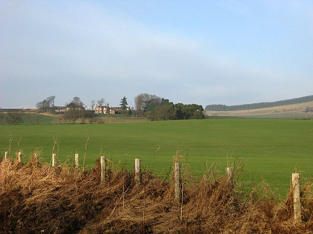
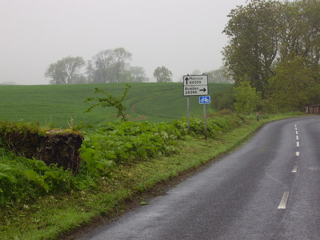
Greenside Plantation is a sprawling woodland area located in Roxburghshire, Scotland. Situated near the village of Ancrum, the plantation covers a vast expanse of approximately 500 acres. It is known for its diverse and well-preserved forest ecosystem, making it a popular destination for nature enthusiasts and outdoor enthusiasts alike.
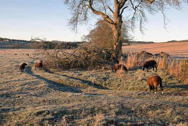
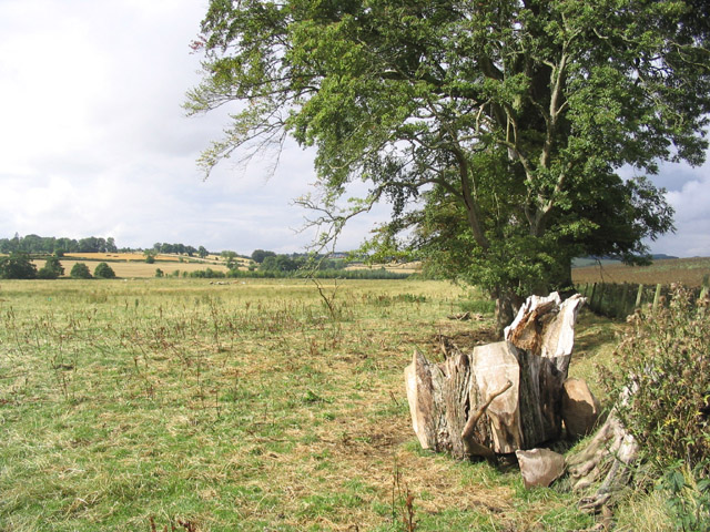
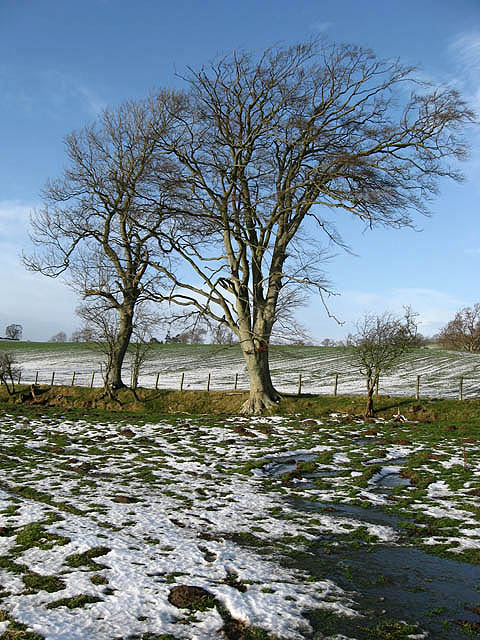
The plantation is primarily composed of native tree species such as oak, beech, and birch, which create a rich tapestry of colors throughout the year. It is also home to a variety of wildlife, including red squirrels, roe deer, and a wide array of bird species. The dense foliage and tranquil atmosphere provide a haven for these creatures and offer visitors a chance to observe them in their natural habitat.
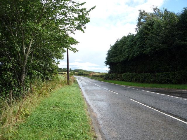
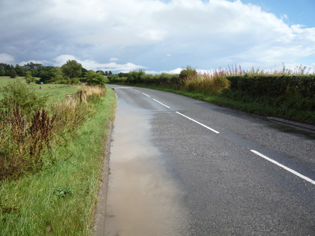
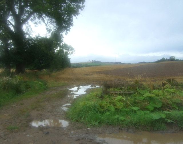
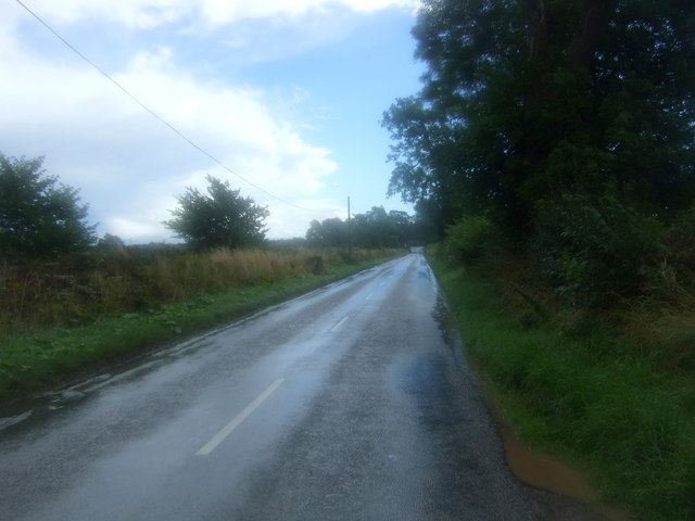
Greenside Plantation offers a network of well-maintained trails that wind through the woodland, providing opportunities for walking, hiking, and cycling. These paths cater to all levels of fitness and offer stunning views of the surrounding countryside. The plantation is also intersected by several small streams and ponds, adding to the picturesque charm of the area.
Visitors to Greenside Plantation can enjoy a range of outdoor activities, including picnicking, birdwatching, and photography. The plantation is open year-round, with each season offering its own unique beauty. In spring, the woodland floor is carpeted with wildflowers, while autumn brings a spectacular display of vibrant colors as the leaves change.
Overall, Greenside Plantation is a hidden gem in Roxburghshire, offering a tranquil escape into nature. With its diverse flora and fauna, well-maintained trails, and beautiful scenery, it is a must-visit destination for anyone seeking to immerse themselves in the natural beauty of Scotland.
If you have any feedback on the listing, please let us know in the comments section below.
Greenside Plantation Images
Images are sourced within 2km of 55.574961/-2.7137032 or Grid Reference NT5531. Thanks to Geograph Open Source API. All images are credited.

Greenside Plantation is located at Grid Ref: NT5531 (Lat: 55.574961, Lng: -2.7137032)
Unitary Authority: The Scottish Borders
Police Authority: The Lothians and Scottish Borders
What 3 Words
///capillary.trample.rebel. Near Melrose, Scottish Borders
Nearby Locations
Related Wikis

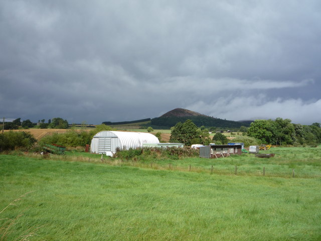
Eildon Hill
Eildon Hill lies just south of Melrose, Scotland in the Scottish Borders, overlooking the town. The name is usually pluralised into "the Eildons" or "Eildon...

Bowden, Scottish Borders
Bowden is a village in the Roxburghshire area of the Scottish Borders, situated 3 miles (5 kilometres) south of Melrose, 2 miles (3 kilometres) west of...

Eildon Hall (Scottish Borders)
Eildon Hall, near St Boswells, Roxburghshire, is one of the houses belonging to the Dukes of Buccleuch and Queensbury. It is located at the foot of Eildon...

Castle Holydean
Holydean Castle (pronounced "hollydeen") was a castle sited near Melrose in Bowden, 1.25 miles SW of the village, in the Scottish Borders region of Scotland...
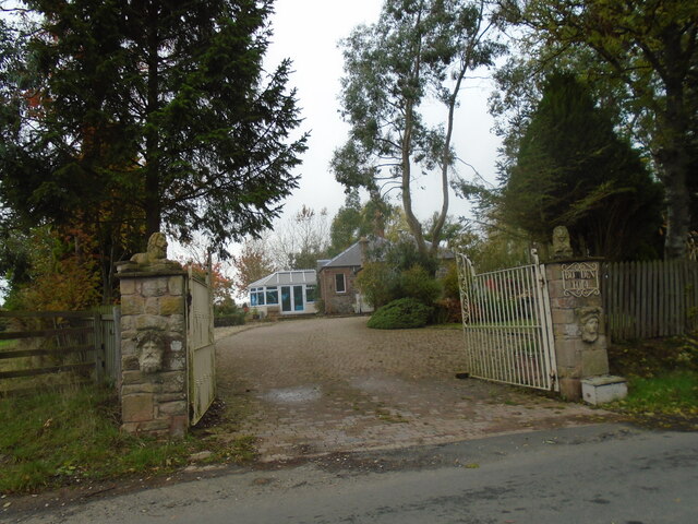
Nearby Amenities
Located within 500m of 55.574961,-2.7137032Have you been to Greenside Plantation?
Leave your review of Greenside Plantation below (or comments, questions and feedback).