Crow Wood

Wood, Forest in Roxburghshire

Scotland

Crow Wood

Ploughed fields, Huntshaw Hill View from the summit of White Hill, over an hidden Earlston to arable land to the north.
Ploughed fields, Huntshaw Hill Credit: Richard Webb

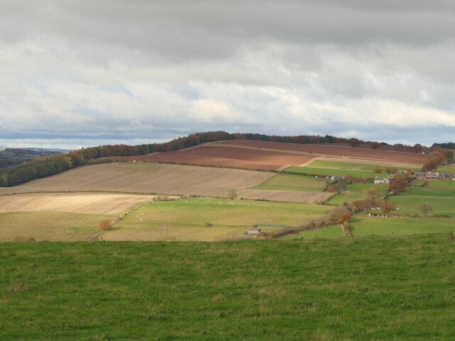
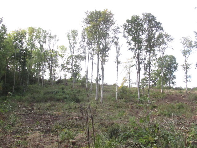
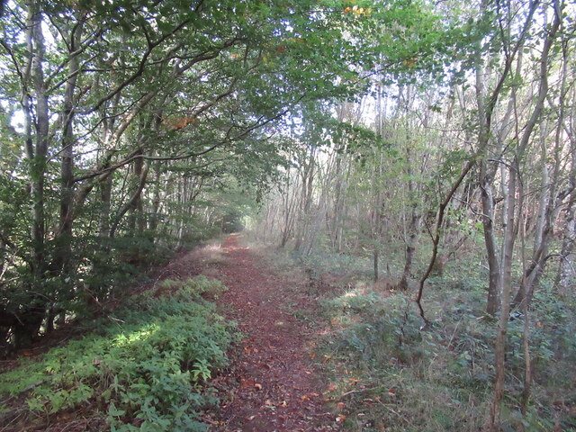
Crow Wood is a picturesque forest located in the heart of Roxburghshire, a region in the Scottish Borders. Covering an area of approximately 200 acres, it is a haven for nature enthusiasts and outdoor adventurers alike. The wood is predominantly composed of ancient oak trees, giving it a sense of timelessness and tranquility.

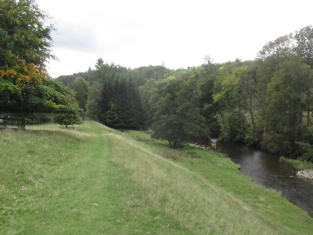
As one explores Crow Wood, they will discover a rich variety of flora and fauna. The forest floor is carpeted with wildflowers, creating a vibrant tapestry of colors during the spring and summer months. The presence of diverse bird species, such as woodpeckers and owls, adds to the enchanting atmosphere.

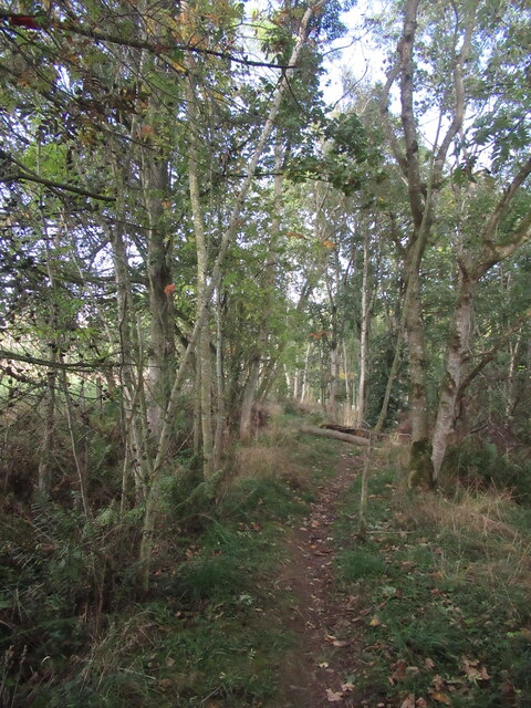
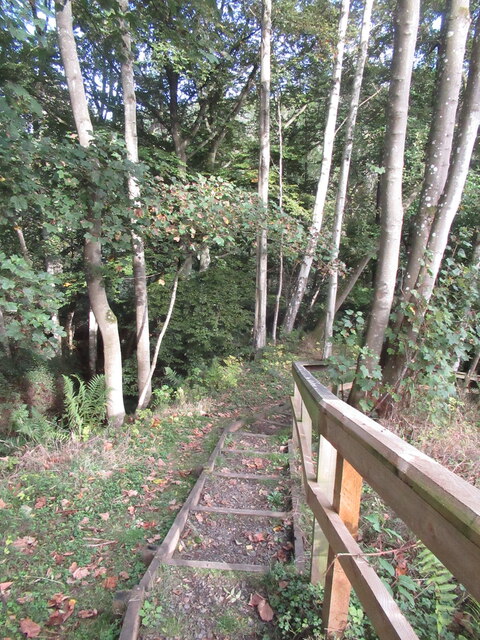
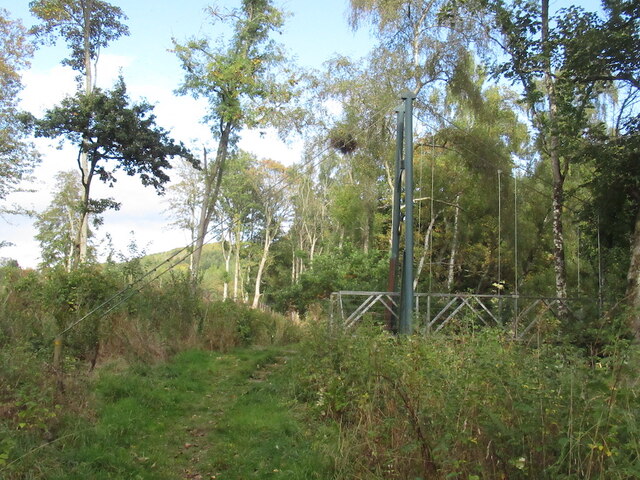
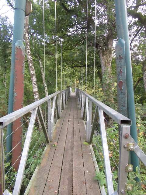
Numerous well-maintained paths wind their way through the forest, providing visitors with the opportunity to immerse themselves in the natural surroundings. These paths are suitable for both leisurely strolls and more challenging hikes, ensuring there is something for everyone.

In addition to its natural beauty, Crow Wood holds historical significance. The remains of an ancient settlement, dating back to the Iron Age, can be found within its boundaries. This offers a glimpse into the rich cultural heritage of the area.

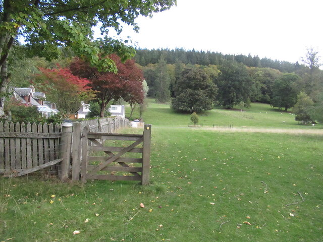
Crow Wood is also a popular destination for outdoor activities. It features designated areas for picnicking and camping, allowing visitors to fully enjoy the peaceful ambiance. Furthermore, the forest offers excellent opportunities for wildlife spotting, photography, and even orienteering.

Overall, Crow Wood in Roxburghshire is a captivating woodland retreat that combines natural splendor with historical intrigue. Its serene atmosphere and diverse ecosystem make it a must-visit destination for those seeking a connection with nature.

If you have any feedback on the listing, please let us know in the comments section below.

Crow Wood Images

Images are sourced within 2km of 55.639241/-2.7016704 or Grid Reference NT5538. Thanks to Geograph Open Source API. All images are credited.

Ploughed fields, Huntshaw Hill View from the summit of White Hill, over an hidden Earlston to arable land to the north.
Ploughed fields, Huntshaw Hill
View from the summit of White Hill, over an hidden Earlston to arable land to the north.
Waymarked path, Carolside About to descend steeply to a suspension bridge.
Waymarked path, Carolside
About to descend steeply to a suspension bridge.
Steps, Carolside A steep descent to the river and a suspension bridge on a well maintained path.
Steps, Carolside
A steep descent to the river and a suspension bridge on a well maintained path.
Suspension bridge, Carolside Built as part of a path network around Earlston.
Suspension bridge, Carolside
Built as part of a path network around Earlston.
Path and suspension bridge, Carolside
Young Covert
Young Covert
Suspension bridge, Carolside Built c.2004 as part of a local path network.
Suspension bridge, Carolside
Built c.2004 as part of a local path network.
Remember to shut the gate A gate has outlived a fence.
Remember to shut the gate
A gate has outlived a fence.
Leader Water, Carolside View from an oak bench overlooking the river.
Leader Water, Carolside
View from an oak bench overlooking the river.
Path above the Leader Water Climbing towards the A68.
Path above the Leader Water
Climbing towards the A68.
Farm buildings at Kedzlie Farm Downhill from the main farm buildings, by the Kedslie Burn, so possibly there may have been a mill there in the past.
Farm buildings at Kedzlie Farm
Downhill from the main farm buildings, by the Kedslie Burn, so possibly there may have been a mill there in the past.
Farm buildings at Kedslie
The Leader Water, Carolside Seen from the Earlston Circular footpath through the estate land north of the big house.
The Leader Water, Carolside
Seen from the Earlston Circular footpath through the estate land north of the big house.
Footbridge, Carolside A suspension footbridge over the Leader Water, built in 2004 to replace an earlier bridge that was in poor repair.
Footbridge, Carolside
A suspension footbridge over the Leader Water, built in 2004 to replace an earlier bridge that was in poor repair.
Footbridge over the Leader Water, Carolside On the route of the 4.5 mile Earlston Circular walk, which crosses back using a similar bridge downstream.
Footbridge over the Leader Water, Carolside
On the route of the 4.5 mile Earlston Circular walk, which crosses back using a similar bridge downstream.
The Leader water, Carolside A view downstream from the footbridge over this tributary of the Tweed.
The Leader water, Carolside
A view downstream from the footbridge over this tributary of the Tweed.
Cheviot view from Huntshaw Hill
Show me another place!

Crow Wood is located at Grid Ref: NT5538 (Lat: 55.639241, Lng: -2.7016704)

Unitary Authority: The Scottish Borders

Police Authority: The Lothians and Scottish Borders

What 3 Words

///bagpipes.down.comical. Near Earlston, Scottish Borders

Related Wikis

Carolside, Scottish Borders

Carolside is an estate by the Leader Water, in the Scottish Borders. It is located one mile (1.6 km) north of Earlston, in the former county of Berwickshire...

Rhymer's Tower

Rhymer's Tower, also known as Earlston Castle, is located near the village of Earlston, Scottish Borders, Scotland. The castle was the caput baroniae of...

A6105 road

The A6105 road is an A road in the Scottish Borders, Scotland and Northumberland, England. It runs from the village of Earlston to Berwick on Tweed going...

Earlston

Earlston (Scots: Yerlston; Scottish Gaelic: Dùn Airchill) is a civil parish and market town in the county of Berwickshire, within the Scottish Borders...

Nearby Amenities

Located within 500m of 55.639241,-2.7016704
Power: tower
Lat/Long: 55.6375328/-2.6957972
Glenburnie
Place: isolated_dwelling
Lat/Long: 55.6407212/-2.699533
Power: tower
Lat/Long: 55.6356811/-2.6994949
Barrier: cattle_grid
Lat/Long: 55.635503/-2.703005
Power: pole
Lat/Long: 55.642375/-2.6973559
Power: pole
Lat/Long: 55.642171/-2.6983485
Power: pole
Lat/Long: 55.6418335/-2.6992393
Power: pole
Lat/Long: 55.641473/-2.7001937
The data included in this document is from www.openstreetmap.org. The data is made available under ODbL.

Have you been to Crow Wood?

Leave your review of Crow Wood below (or comments, questions and feedback).