Horseshoe Plantation

Wood, Forest in Roxburghshire

Scotland

Horseshoe Plantation

Dawn at the summit of Eildon Mid Hill The trig point and toposcope are silhouetted against a colourful sky about 15 minutes before sunrise.
Dawn at the summit of Eildon Mid Hill Credit: Walter Baxter

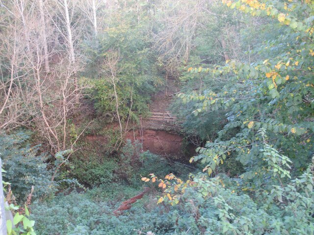
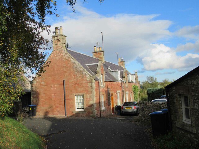
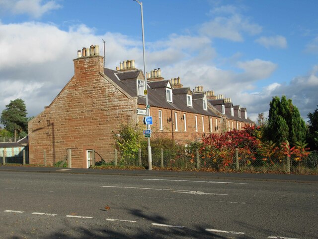
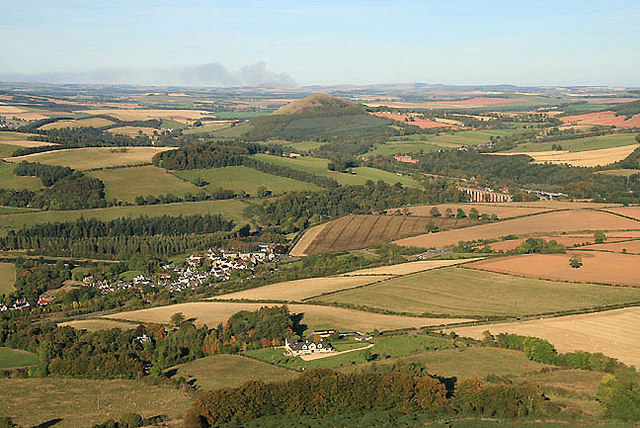
Horseshoe Plantation, located in Roxburghshire, is a vast and picturesque woodland area that spans over several thousand acres. Situated in the southern part of Scotland, this plantation is renowned for its natural beauty and diverse range of flora and fauna.

The woodland is primarily composed of ancient broadleaf trees, including oak, beech, and ash, which create a dense and vibrant canopy overhead. These trees provide a habitat for a wide variety of wildlife, with species such as red squirrels, roe deer, and numerous bird species making their home in the plantation.

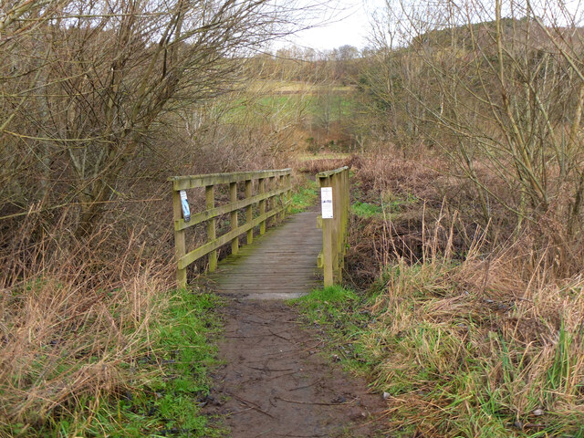
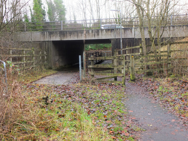
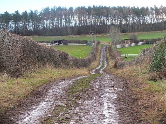
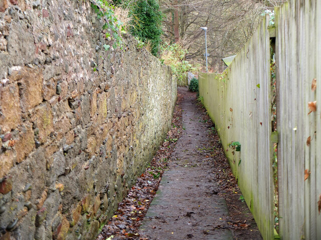
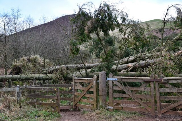
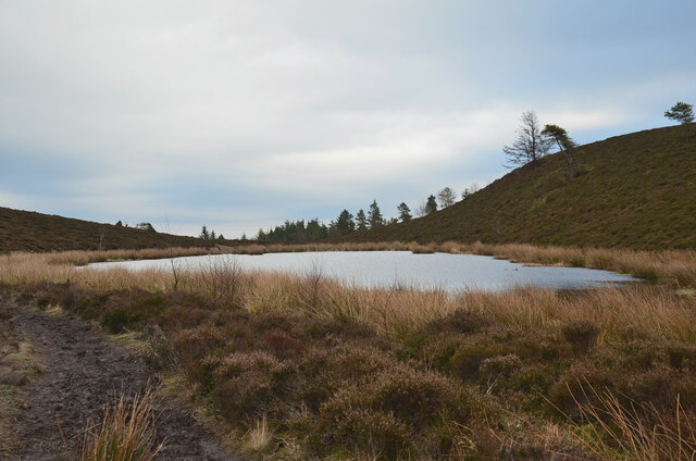
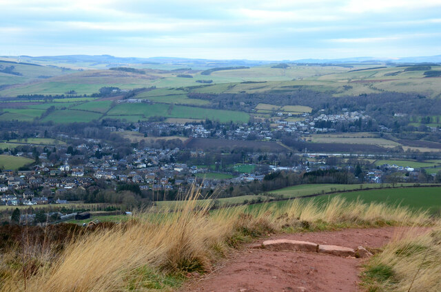
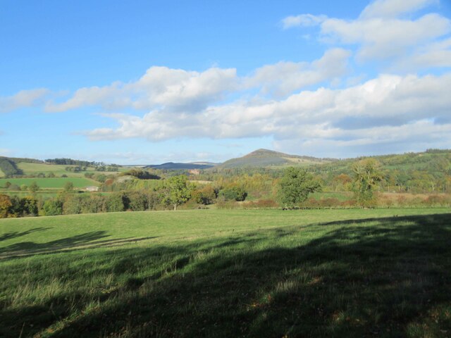
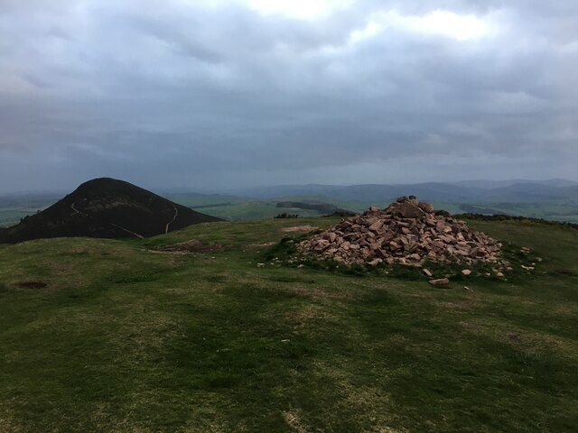
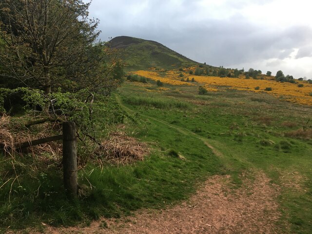
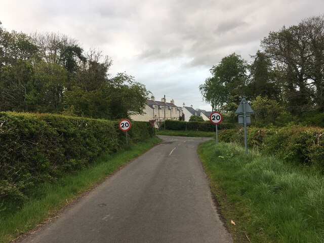
The terrain of Horseshoe Plantation is characterized by rolling hills, meandering streams, and small ponds, further enhancing its natural appeal. The woodlands are crisscrossed by a network of well-maintained paths and trails, allowing visitors to explore the area on foot or by bike. These paths also offer breathtaking views of the surrounding countryside and the nearby Cheviot Hills.

The plantation is a popular destination for outdoor enthusiasts, offering opportunities for activities such as hiking, wildlife spotting, and photography. It is also a favored location for nature study and education, with various educational programs and guided tours available to visitors.

Horseshoe Plantation is managed by a dedicated team of conservationists who strive to maintain its ecological balance and protect its natural resources. Their efforts include selective tree felling, reforestation projects, and the preservation of endangered species.

Overall, Horseshoe Plantation is a stunning woodland sanctuary in Roxburghshire, offering visitors a chance to immerse themselves in nature and experience the beauty of the Scottish countryside.

If you have any feedback on the listing, please let us know in the comments section below.

Horseshoe Plantation Images

Images are sourced within 2km of 55.586088/-2.700785 or Grid Reference NT5532. Thanks to Geograph Open Source API. All images are credited.

Dawn at the summit of Eildon Mid Hill The trig point and toposcope are silhouetted against a colourful sky about 15 minutes before sunrise.
Dawn at the summit of Eildon Mid Hill
The trig point and toposcope are silhouetted against a colourful sky about 15 minutes before sunrise.
Footbridge near The Eddy A footbridge on the riverside path between Melrose and Newstead.
Footbridge near The Eddy
A footbridge on the riverside path between Melrose and Newstead.
Safe passage below the Melrose By-Pass An underpass with separate routes for pedestrians and livestock under the busy A6091 near Newstead.
Safe passage below the Melrose By-Pass
An underpass with separate routes for pedestrians and livestock under the busy A6091 near Newstead.
Track from Newstead A track joining the old road near the Rhymer's Stone and on the route of the Borders Abbeys Way.
Track from Newstead
A track joining the old road near the Rhymer's Stone and on the route of the Borders Abbeys Way.
A narrow path in Melrose The path connects High Road with Priorswalk.
A narrow path in Melrose
The path connects High Road with Priorswalk.
Fallen trees at east end of Bowden Loch More Scots pines brought down here in Storm Arwen last November. Fortunately there was enough room to squeeze past to the right to gain the open hillside.
Fallen trees at east end of Bowden Loch
More Scots pines brought down here in Storm Arwen last November. Fortunately there was enough room to squeeze past to the right to gain the open hillside.
Lochan below Eildon Mid Hill A lochan on the col between Mid Hill and Wester Hill, not shown on the 1:25,000 map. The path skirts its northern edge.
Lochan below Eildon Mid Hill
A lochan on the col between Mid Hill and Wester Hill, not shown on the 1:25,000 map. The path skirts its northern edge.
Melrose in view The town coming into view from the red clay path descending from the col between the North and Mid Eildon Hills. The rugby ground is at about centre with the village of Gattonside across the Tweed beyond.
Melrose in view
The town coming into view from the red clay path descending from the col between the North and Mid Eildon Hills. The rugby ground is at about centre with the village of Gattonside across the Tweed beyond.
View towards Eildon Hills
Water Erosion, Sprouston Burn
Communication Mast near Eildon
View towards The Eildon Hills
Footpath into Eildon
Terraced Housing in Eildon
Terraced Houses at Newton St Boswell's
Summit cairn on Eildon Hill North
Path at the edge of Whinnyfield Plantation
Minor road near Eildon
Show me another place!

Horseshoe Plantation is located at Grid Ref: NT5532 (Lat: 55.586088, Lng: -2.700785)

Unitary Authority: The Scottish Borders

Police Authority: The Lothians and Scottish Borders

What 3 Words

///sideboard.donation.briskly. Near Newtown St Boswells, Scottish Borders

Related Wikis

Eildon Hall (Scottish Borders)

Eildon Hall, near St Boswells, Roxburghshire, is one of the houses belonging to the Dukes of Buccleuch and Queensbury. It is located at the foot of Eildon...
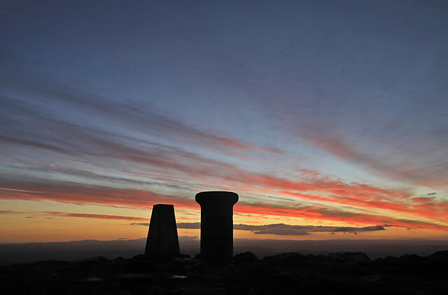
Eildon Hill

Eildon Hill lies just south of Melrose, Scotland in the Scottish Borders, overlooking the town. The name is usually pluralised into "the Eildons" or "Eildon...

Eildon

Eildon is the largest committee area of the Scottish Borders Council, with a population of 34,892 at the census in 2001. It also contains the three Eildon...

Newstead, Scottish Borders

Newstead is a village in the Scottish Borders, about 1+1⁄4 miles (2 kilometres) east of Melrose. It has a population of approximately 260, according to...

Nearby Amenities

Located within 500m of 55.586088,-2.700785
Eildon Hill North
Ele: 404
Natural: peak
Wikidata: Q111133617
Lat/Long: 55.5874329/-2.7079786
Eildon Hall
Place: isolated_dwelling
Lat/Long: 55.5834004/-2.696802
Hiking: yes
Information: guidepost
Tourism: information
Lat/Long: 55.5868966/-2.6941261
Power: pole
Lat/Long: 55.5835866/-2.6942917
The data included in this document is from www.openstreetmap.org. The data is made available under ODbL.

Have you been to Horseshoe Plantation?

Leave your review of Horseshoe Plantation below (or comments, questions and feedback).