Eildon Hills
Range Of Mountains, Range Of Hills in Roxburghshire
Scotland
Eildon Hills

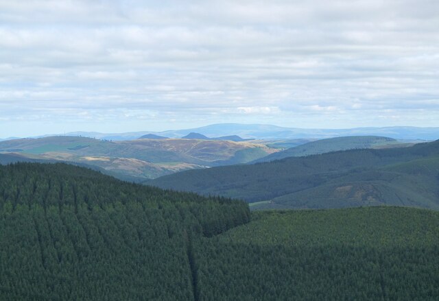
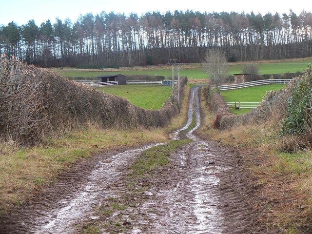
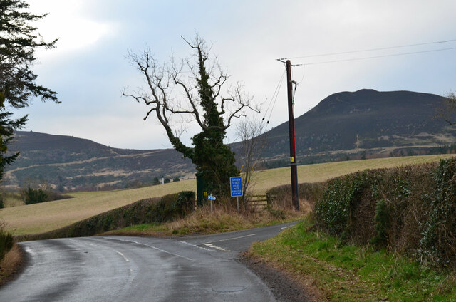
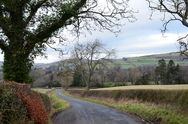
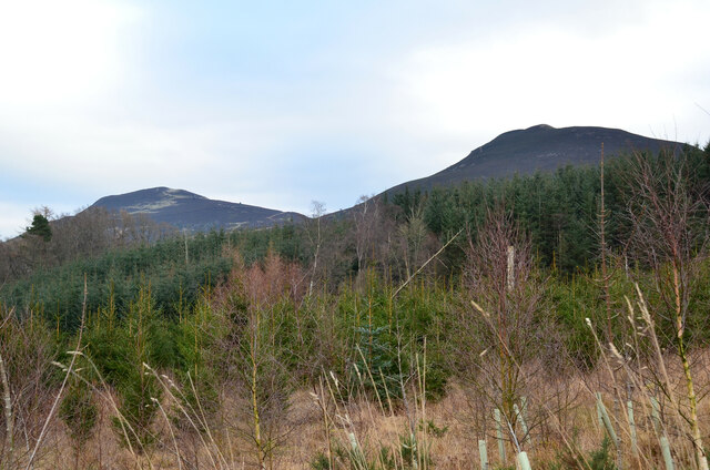
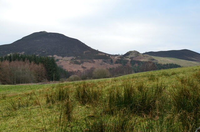
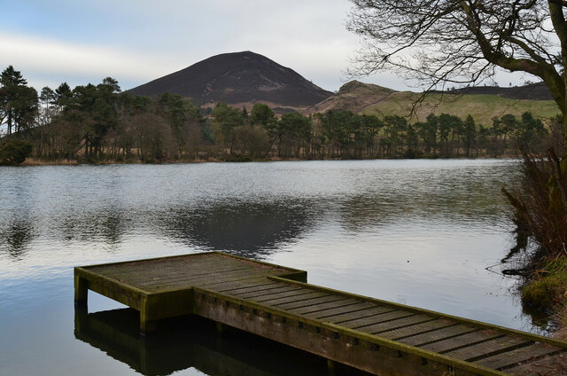
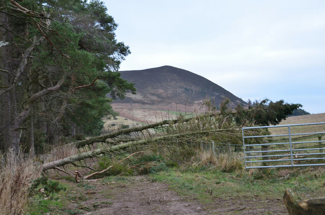
The Eildon Hills, located in Roxburghshire, Scotland, are a range of three prominent hills that dominate the landscape of the Scottish Borders region. Rising abruptly from the surrounding plains, these hills are a distinctive geological feature of the area. The three peaks, named Eildon Hill North, Eildon Hill Middle, and Eildon Hill West, form a horseshoe shape when viewed from a distance.
The Eildon Hills are composed of volcanic rock, specifically andesite and basalt, which were formed around 350 million years ago during the Carboniferous period. These ancient volcanic eruptions have left behind steep, craggy slopes and exposed rocky outcrops, giving the hills their unique appearance.
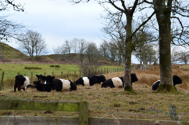
Eildon Hill North is the highest peak, standing at 422 meters (1,385 feet), while Eildon Hill West and Eildon Hill Middle reach heights of 371 meters (1,217 feet) and 364 meters (1,194 feet), respectively. The hills are covered in heather and grasses, creating a colorful and picturesque landscape, especially during the summer months.
The Eildon Hills have a rich history and are steeped in folklore. They are believed to have been a significant spiritual and ceremonial site for the ancient Celtic people. Legends tell of the mystical King Arthur and his knights being buried within the hills, and the hills are also associated with the Queen of Elfland in Scottish folklore.
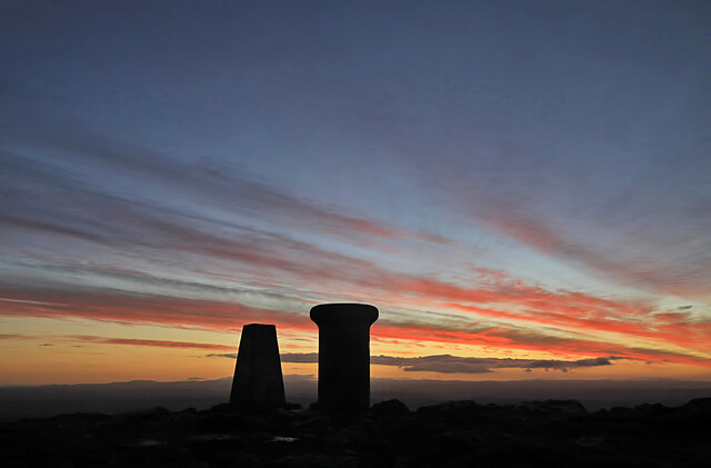
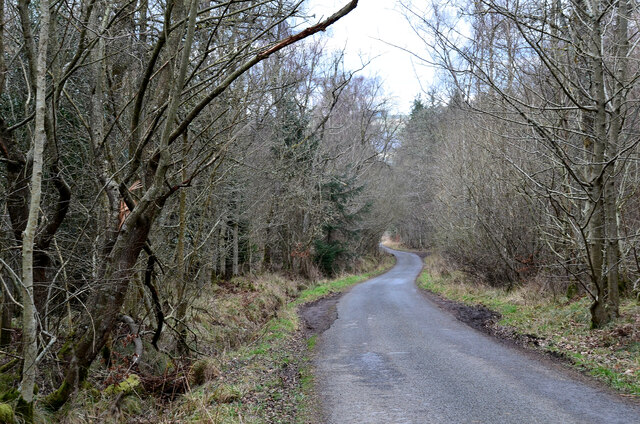
Today, the Eildon Hills are a popular destination for hikers and hillwalkers, offering stunning panoramic views of the surrounding countryside. The hills are easily accessible, with well-maintained footpaths leading to the summits. The Eildon Hills are not only a natural wonder but also a cultural and historical treasure, making them a must-visit destination for nature enthusiasts and history lovers alike.
If you have any feedback on the listing, please let us know in the comments section below.
Eildon Hills Images
Images are sourced within 2km of 55.583652/-2.7134009 or Grid Reference NT5532. Thanks to Geograph Open Source API. All images are credited.

Eildon Hills is located at Grid Ref: NT5532 (Lat: 55.583652, Lng: -2.7134009)
Unitary Authority: The Scottish Borders
Police Authority: The Lothians and Scottish Borders
What 3 Words
///replying.position.fantastic. Near Melrose, Scottish Borders
Nearby Locations
Related Wikis

Eildon Hill
Eildon Hill lies just south of Melrose, Scotland in the Scottish Borders, overlooking the town. The name is usually pluralised into "the Eildons" or "Eildon...

Eildon Hall (Scottish Borders)
Eildon Hall, near St Boswells, Roxburghshire, is one of the houses belonging to the Dukes of Buccleuch and Queensbury. It is located at the foot of Eildon...
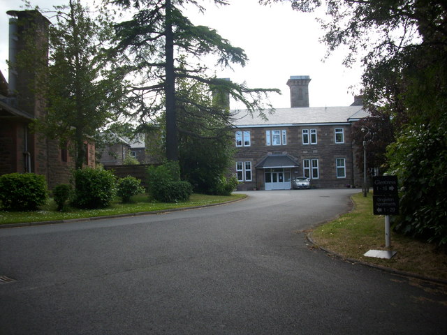
Dingleton Hospital
Dingleton Hospital was a mental health facility in Melrose, Scotland. The former boiler house is a Category B listed building. == History == The hospital...
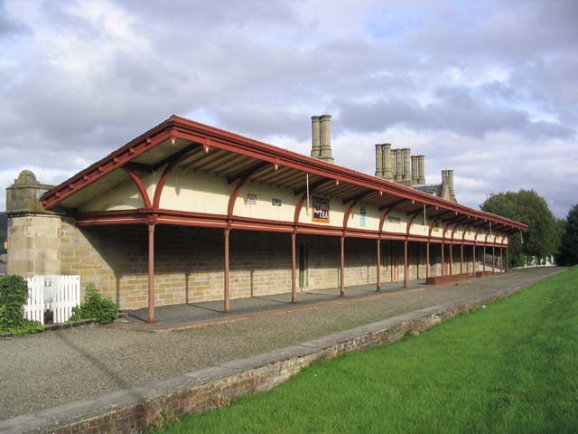
Melrose railway station
Melrose railway station served the town of Melrose, Roxburghshire, Scotland from 1849 to 1969 on the Waverley Route. == History == The station opened on...

Corn Exchange, Melrose
The Corn Exchange is a commercial building in the Market Square in Melrose, Scottish Borders, Scotland. The structure, which is now used as a public events...

Priorwood Garden
Priorwood Garden is a garden in Melrose in the Scottish Borders area of Scotland. The garden contains an apple orchard of unusual apple trees. The flower...

Melrose Abbey
St Mary's Abbey, Melrose is a partly ruined monastery of the Cistercian order in Melrose, Roxburghshire, in the Scottish Borders. It was founded in 1136...

Harmony Garden, Scottish Borders
The Harmony Garden is the garden of Harmony Hall which is in the town of Melrose, in the Scottish Borders, administered by the National Trust for Scotland...
Nearby Amenities
Located within 500m of 55.583652,-2.7134009Have you been to Eildon Hills?
Leave your review of Eildon Hills below (or comments, questions and feedback).