Heathery Wood
Wood, Forest in Roxburghshire
Scotland
Heathery Wood
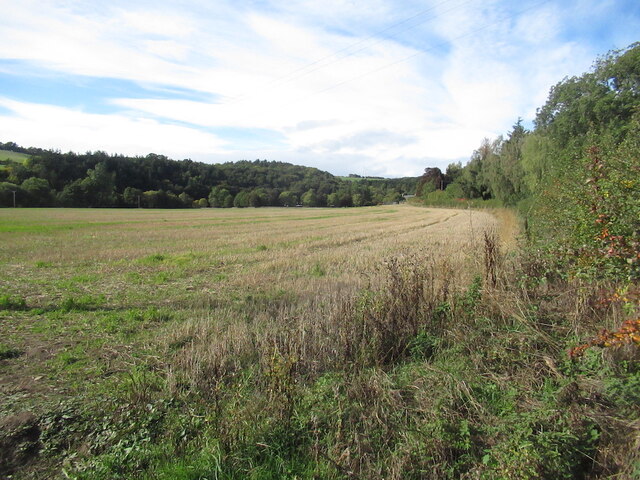
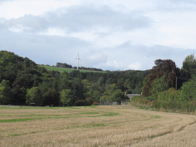
Heathery Wood, located in Roxburghshire, Scotland, is a charming forested area that spans over several acres. The wood is known for its dense foliage, comprising mainly of heather, which gives it its unique name. The forest is situated in a picturesque setting, surrounded by rolling hills and farmland, creating a tranquil atmosphere for visitors to enjoy.
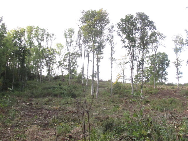
Heathery Wood offers a diverse range of plant and animal life, making it an ideal destination for nature enthusiasts and wildlife lovers. The forest is home to a variety of tree species, including oak, birch, and pine, providing a rich and vibrant habitat for a wide range of bird species, small mammals, and insects.
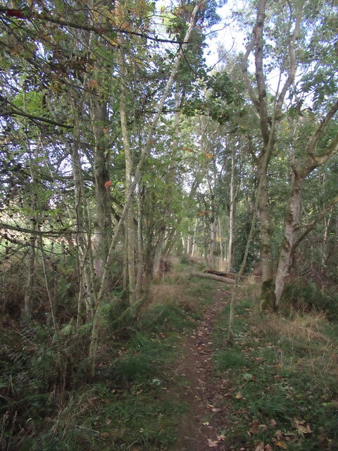
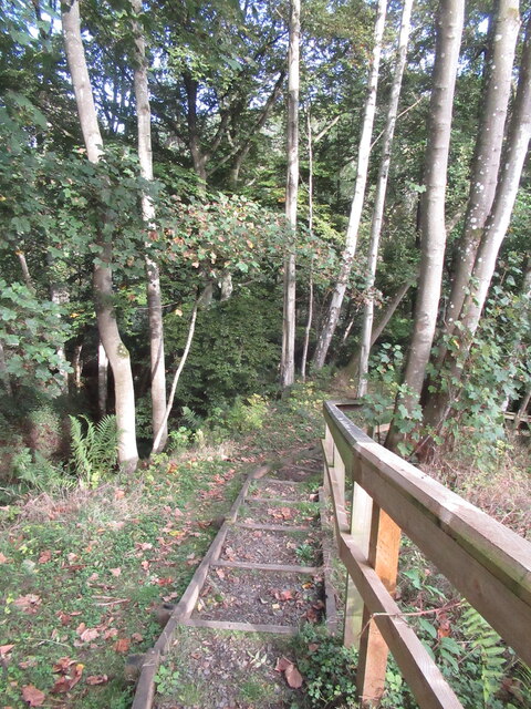
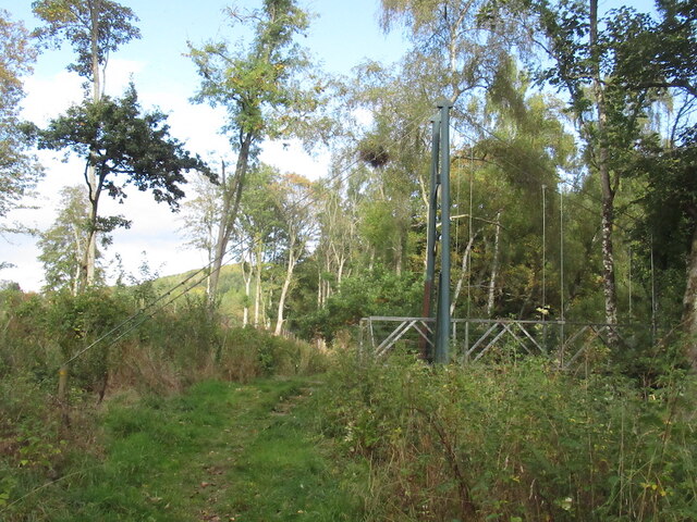
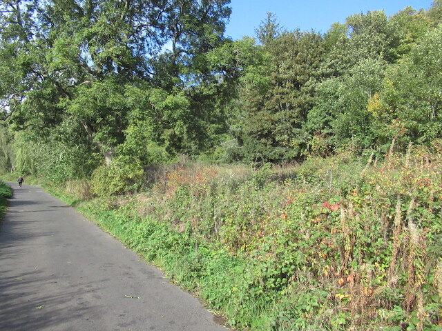
Visitors to Heathery Wood can explore the forest through a network of well-maintained walking trails. These trails are designed to cater to all levels of fitness and provide an opportunity to discover the hidden gems of this beautiful woodland. The paths wind through the forest, allowing visitors to appreciate the stunning landscape and observe the local flora and fauna up close.
For those interested in history, Heathery Wood has a rich cultural heritage. The area has been inhabited for centuries, with evidence of ancient settlements and archaeological finds scattered throughout the forest. Visitors can explore these historical remnants and learn about the fascinating past of this enchanting woodland.
Overall, Heathery Wood in Roxburghshire is a haven for nature lovers, offering a serene escape from the hustle and bustle of daily life. With its abundant wildlife, scenic beauty, and historical significance, it is a must-visit destination for anyone seeking a peaceful retreat in the heart of Scotland's countryside.
If you have any feedback on the listing, please let us know in the comments section below.
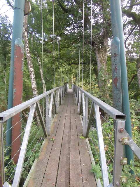
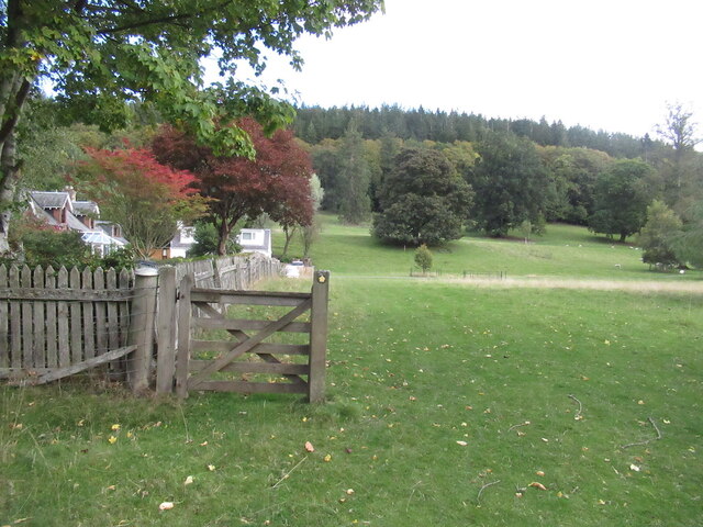
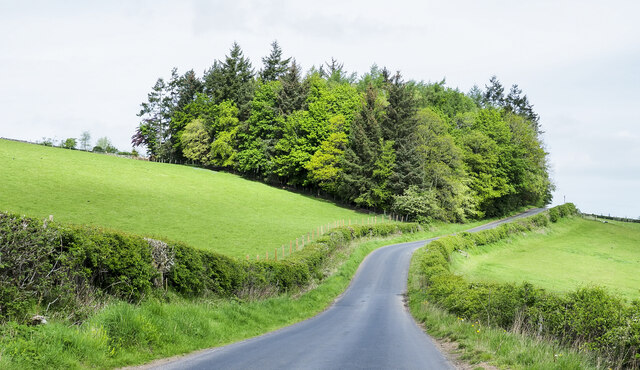
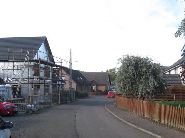
Heathery Wood Images
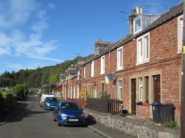
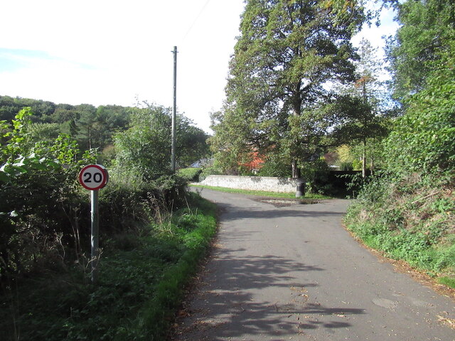
Images are sourced within 2km of 55.637348/-2.7089597 or Grid Reference NT5538. Thanks to Geograph Open Source API. All images are credited.


Heathery Wood is located at Grid Ref: NT5538 (Lat: 55.637348, Lng: -2.7089597)
Unitary Authority: The Scottish Borders
Police Authority: The Lothians and Scottish Borders
What 3 Words
///depth.stuffy.extremely. Near Earlston, Scottish Borders
Nearby Locations
Related Wikis

Carolside, Scottish Borders
Carolside is an estate by the Leader Water, in the Scottish Borders. It is located one mile (1.6 km) north of Earlston, in the former county of Berwickshire...

Rhymer's Tower
Rhymer's Tower, also known as Earlston Castle, is located near the village of Earlston, Scottish Borders, Scotland. The castle was the caput baroniae of...

A6105 road
The A6105 road is an A road in the Scottish Borders, Scotland and Northumberland, England. It runs from the village of Earlston to Berwick on Tweed going...
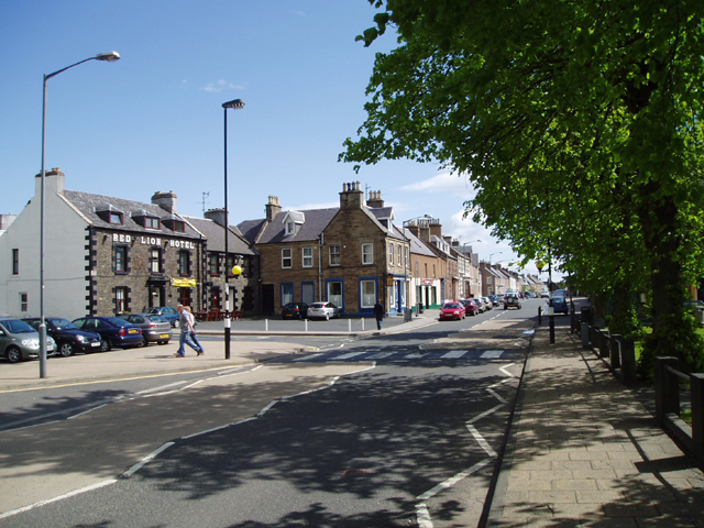
Earlston
Earlston (Scots: Yerlston) is a civil parish and market town in the county of Berwickshire, within the Scottish Borders. It is on the River Leader in...
Nearby Amenities
Located within 500m of 55.637348,-2.7089597Have you been to Heathery Wood?
Leave your review of Heathery Wood below (or comments, questions and feedback).