Gird Wood
Wood, Forest in Roxburghshire
Scotland
Gird Wood
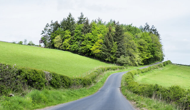
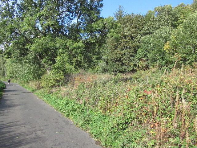
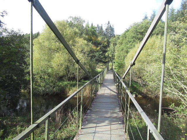
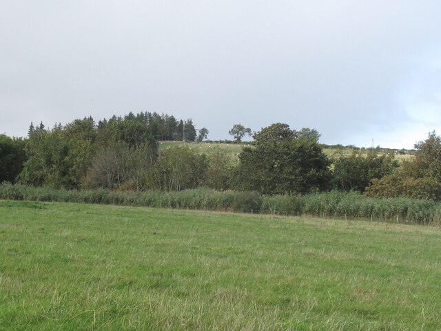
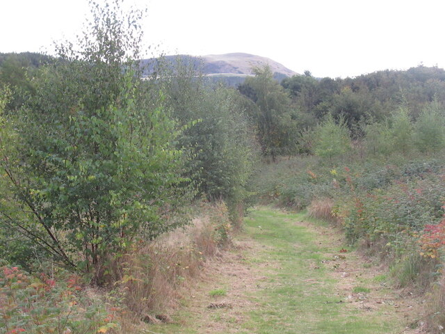
Gird Wood, located in Roxburghshire, Scotland, is a picturesque forest area renowned for its natural beauty and rich history. Covering an expansive area, the wood is home to a diverse range of flora and fauna, making it a haven for nature enthusiasts and wildlife lovers.
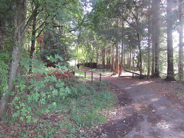
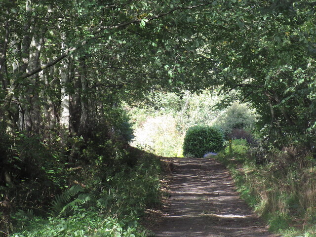
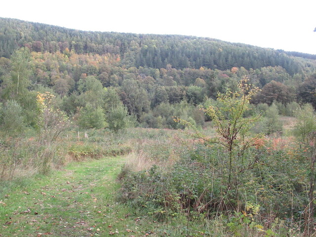
The wood boasts a variety of tree species, including oak, beech, and birch, which create a stunning canopy of vibrant colors throughout the seasons. Walking through the wood, visitors are treated to a serene and tranquil atmosphere, with the soothing sounds of birds chirping and leaves rustling underfoot.
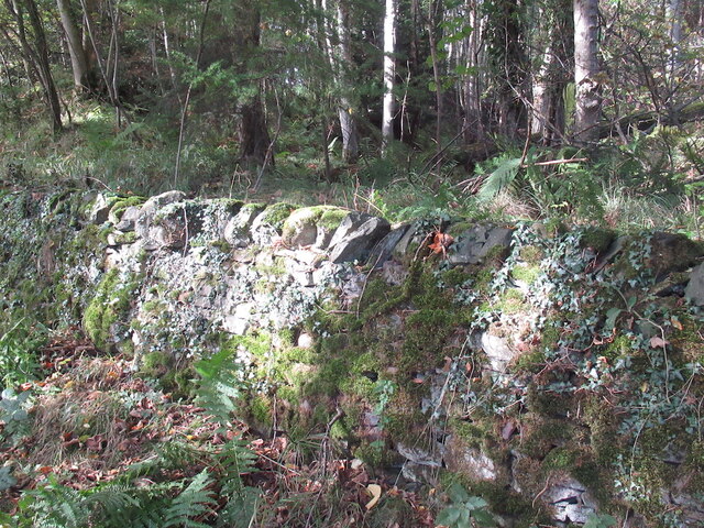
In addition to its natural beauty, Gird Wood holds significant historical importance. The wood is believed to have been inhabited since ancient times, with evidence of human settlements dating back thousands of years. Archaeological finds such as stone tools and pottery shards have been discovered, shedding light on the area's past civilizations.
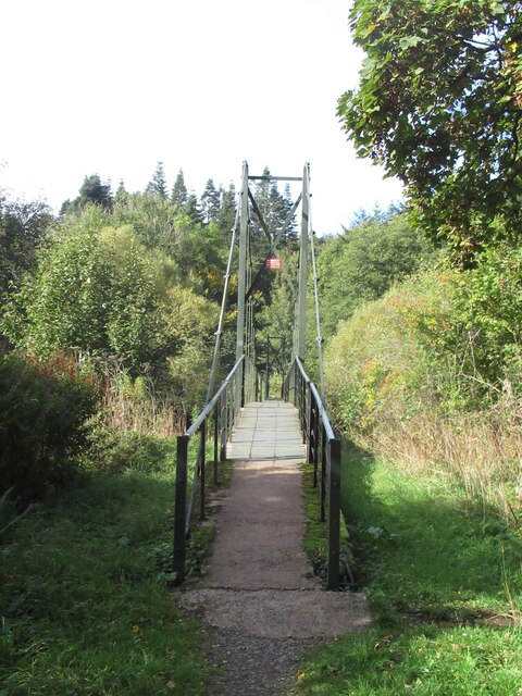
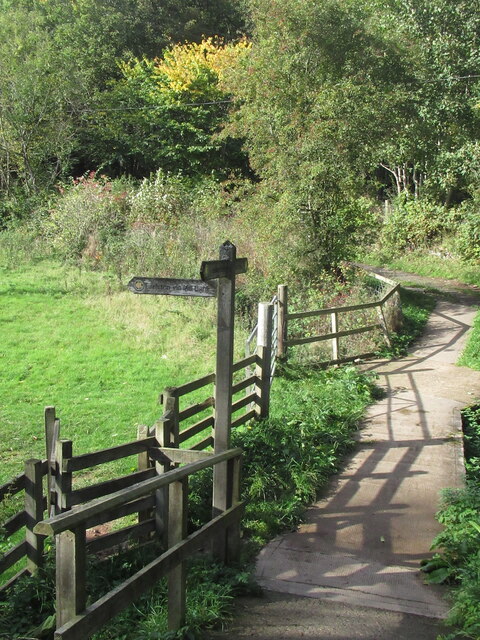
For outdoor enthusiasts, Gird Wood offers a range of recreational activities. Hiking and walking trails wind through the wood, providing ample opportunities to explore its hidden treasures. The wood is also a popular spot for birdwatching, with a variety of avian species calling it home. Visitors may catch a glimpse of woodpeckers, owls, and various songbirds.
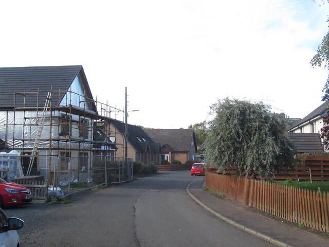
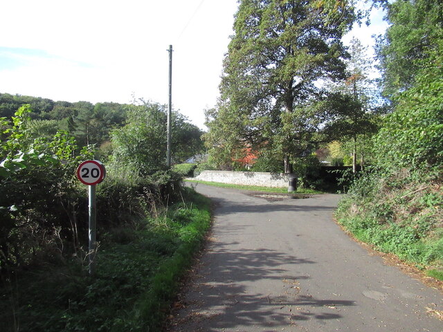
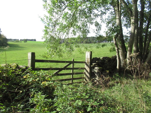
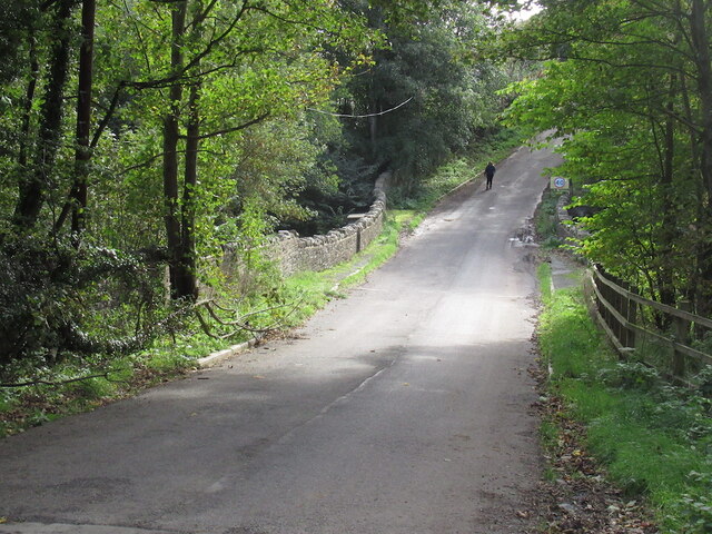
Gird Wood is easily accessible, with parking and amenities available nearby. Its close proximity to other attractions in Roxburghshire, such as historic castles and charming villages, makes it an ideal destination for those seeking a blend of natural beauty and cultural exploration.
Overall, Gird Wood is a captivating forest area that offers a harmonious blend of nature, history, and recreational opportunities, ensuring a memorable experience for all who visit.
If you have any feedback on the listing, please let us know in the comments section below.
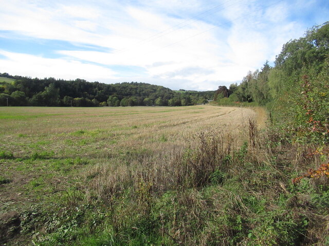
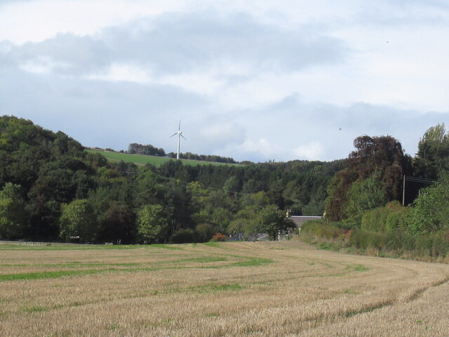
Gird Wood Images
Images are sourced within 2km of 55.634452/-2.7110835 or Grid Reference NT5538. Thanks to Geograph Open Source API. All images are credited.

Gird Wood is located at Grid Ref: NT5538 (Lat: 55.634452, Lng: -2.7110835)
Unitary Authority: The Scottish Borders
Police Authority: The Lothians and Scottish Borders
What 3 Words
///cools.finds.hope. Near Earlston, Scottish Borders
Nearby Locations
Related Wikis

Rhymer's Tower
Rhymer's Tower, also known as Earlston Castle, is located near the village of Earlston, Scottish Borders, Scotland. The castle was the caput baroniae of...

A6105 road
The A6105 road is an A road in the Scottish Borders, Scotland and Northumberland, England. It runs from the village of Earlston to Berwick on Tweed going...

Carolside, Scottish Borders
Carolside is an estate by the Leader Water, in the Scottish Borders. It is located one mile (1.6 km) north of Earlston, in the former county of Berwickshire...
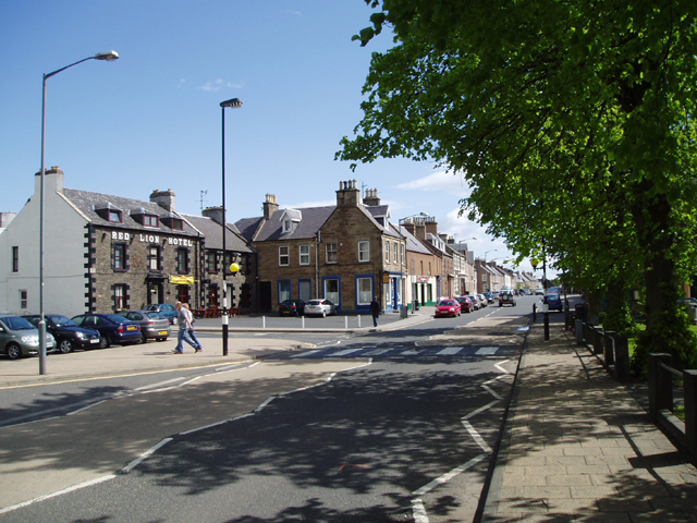
Earlston
Earlston (Scots: Yerlston; Scottish Gaelic: Dùn Airchill) is a civil parish and market town in the county of Berwickshire, within the Scottish Borders...
Nearby Amenities
Located within 500m of 55.634452,-2.7110835Have you been to Gird Wood?
Leave your review of Gird Wood below (or comments, questions and feedback).