Doctor's Plantation
Wood, Forest in Roxburghshire
Scotland
Doctor's Plantation
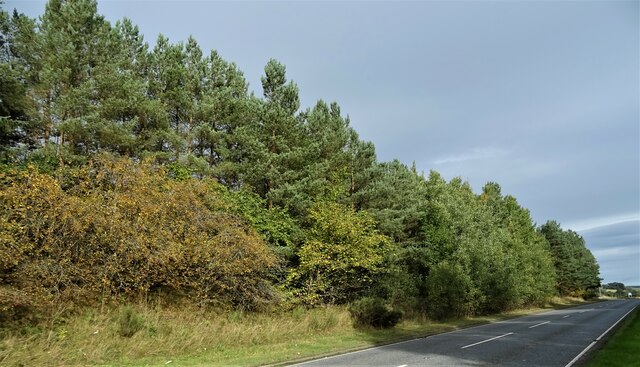
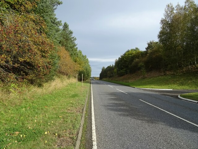
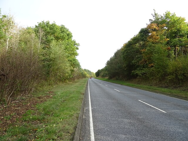
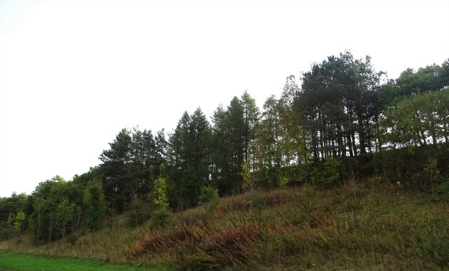
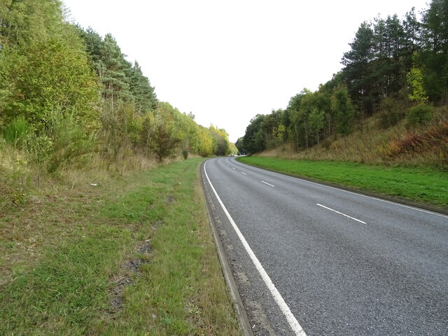
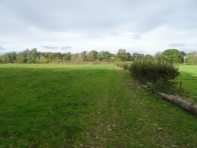
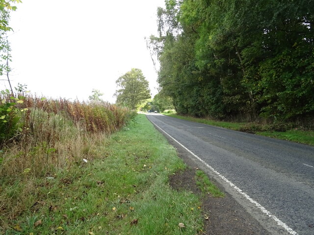
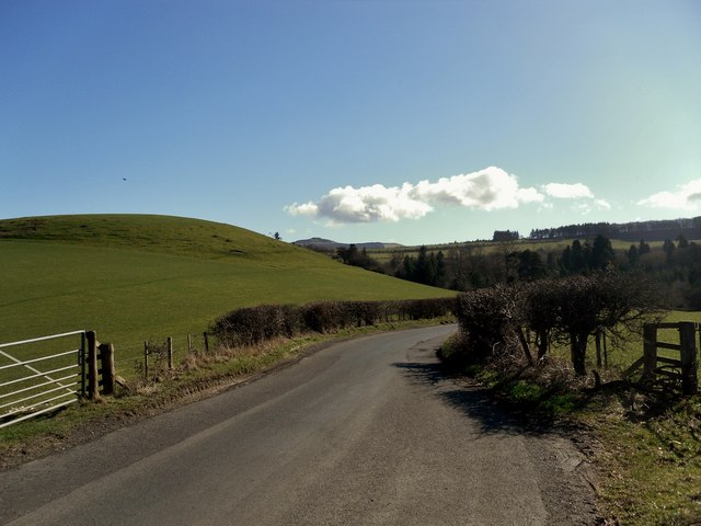
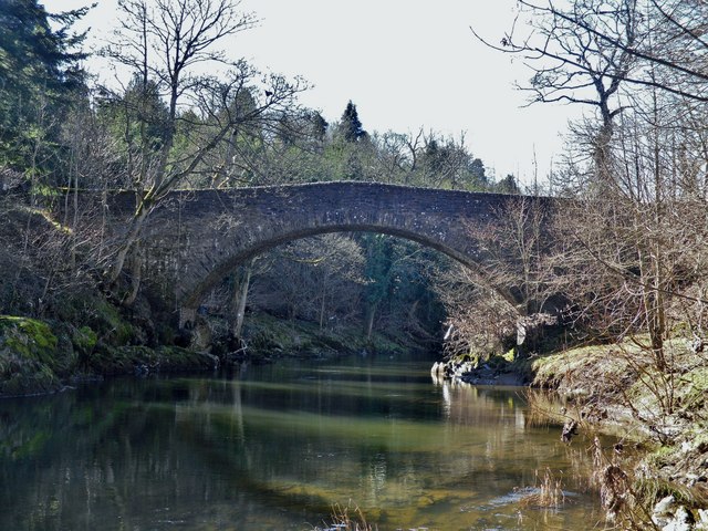
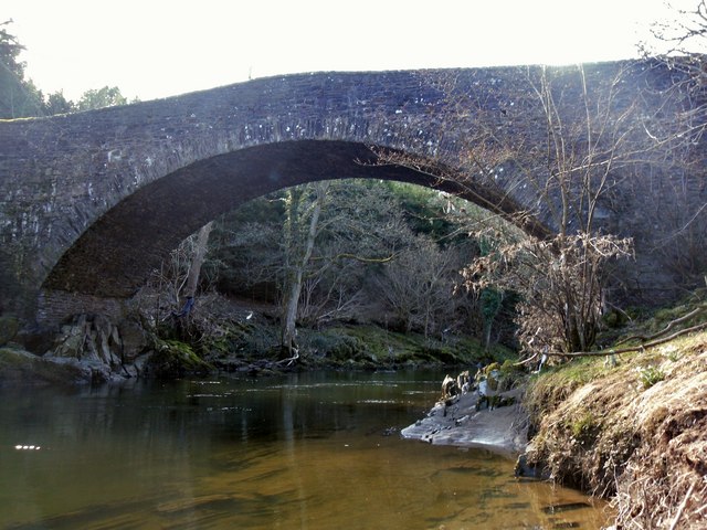
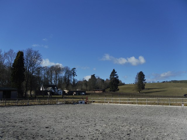
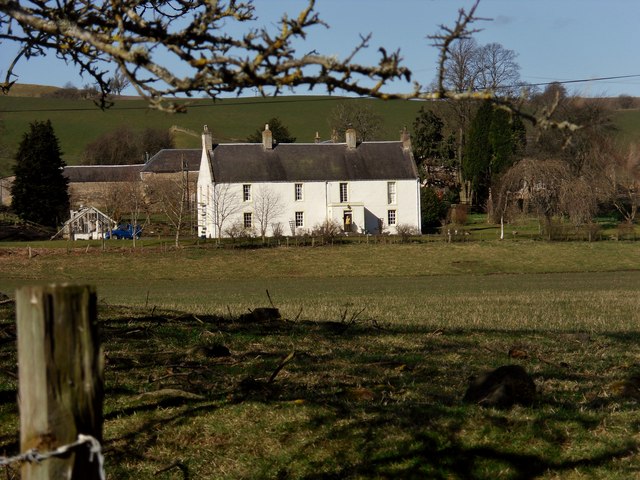
Doctor's Plantation is a woodland located in the county of Roxburghshire, Scotland. Situated near the village of Ancrum, it covers an area of approximately 50 hectares. The plantation is characterized by a diverse range of tree species, including oak, beech, sycamore, and Scots pine, among others.
The woodland is known for its rich biodiversity, providing a habitat for various wildlife species. It is home to a wide array of birds, such as great tits, blue tits, and chaffinches, which can be spotted among the trees. The dense vegetation also attracts mammals like red squirrels, roe deer, and badgers.
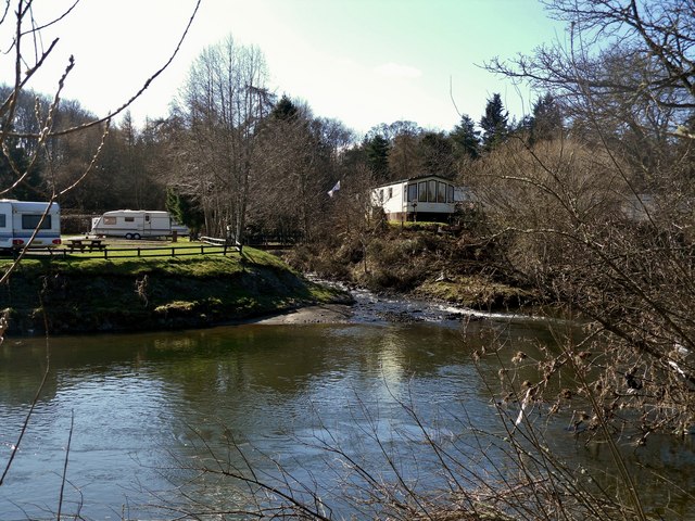
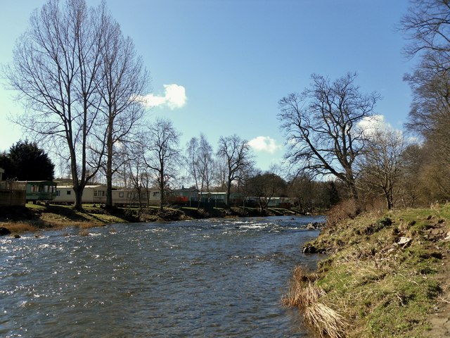
The plantation offers several walking trails, allowing visitors to explore the woodland and enjoy its natural beauty. These trails are well-maintained and offer stunning views of the surrounding countryside. There are also picnic areas and benches scattered throughout the plantation, providing a perfect spot for relaxation and appreciation of the peaceful surroundings.
Doctor's Plantation is managed by the local council in collaboration with conservation organizations, ensuring its preservation and sustainable use. The woodland plays a vital role in carbon sequestration, helping to combat climate change by absorbing and storing carbon dioxide. It also serves as a recreational area for the local community, providing opportunities for outdoor activities such as walking, birdwatching, and nature photography.
Overall, Doctor's Plantation is a picturesque woodland, offering a tranquil escape into nature and an opportunity to appreciate the beauty of Roxburghshire's natural landscape.
If you have any feedback on the listing, please let us know in the comments section below.
Doctor's Plantation Images
Images are sourced within 2km of 55.440645/-2.7120193 or Grid Reference NT5516. Thanks to Geograph Open Source API. All images are credited.
Doctor's Plantation is located at Grid Ref: NT5516 (Lat: 55.440645, Lng: -2.7120193)
Unitary Authority: The Scottish Borders
Police Authority: The Lothians and Scottish Borders
What 3 Words
///host.drummers.lamplight. Near Hawick, Scottish Borders
Nearby Locations
Related Wikis

Cavers, Scottish Borders
Cavers is a parish in the Scottish Borders area of Scotland, in the former county of Roxburghshire, south and east of Hawick. The largest village in the...

Cavers Castle
Cavers Castle, also known as Cavers House, is a ruined tower house located at Cavers, Scottish Borders, Scotland. Cavers Castle was a much extended tower...

Westgate Hall, Denholm
Westgate Hall is located in Westgate in the village of Denholm, Roxburghshire, in the Scottish Borders. It stands at the western and south-western approaches...
Denholm
Denholm is a small village located between Jedburgh and Hawick in the Scottish Borders region of Scotland, UK. The estimated population of Denholm is 600...
Nearby Amenities
Located within 500m of 55.440645,-2.7120193Have you been to Doctor's Plantation?
Leave your review of Doctor's Plantation below (or comments, questions and feedback).