Castle Firs
Wood, Forest in Fife
Scotland
Castle Firs
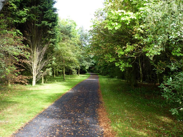
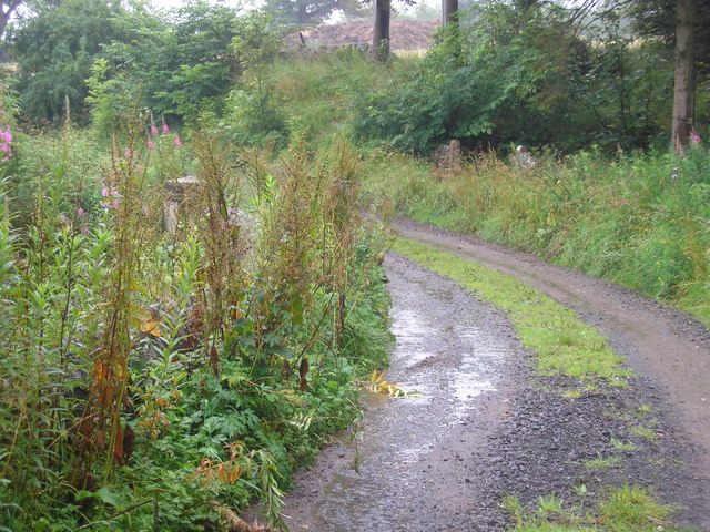
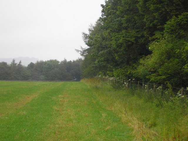
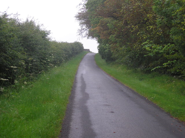
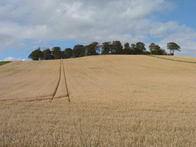
Castle Firs is a picturesque woodland located in the historic region of Fife, Scotland. Covering an area of approximately 100 acres, this enchanting forest is renowned for its diverse flora and fauna, making it a popular destination for nature lovers and hikers alike.
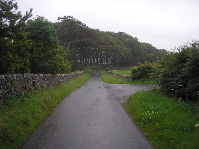
The woodland is characterized by its dense canopy of towering coniferous trees, predominantly made up of Douglas fir, hence its name. These majestic trees create a tranquil and serene atmosphere, providing a peaceful escape from the hustle and bustle of daily life.
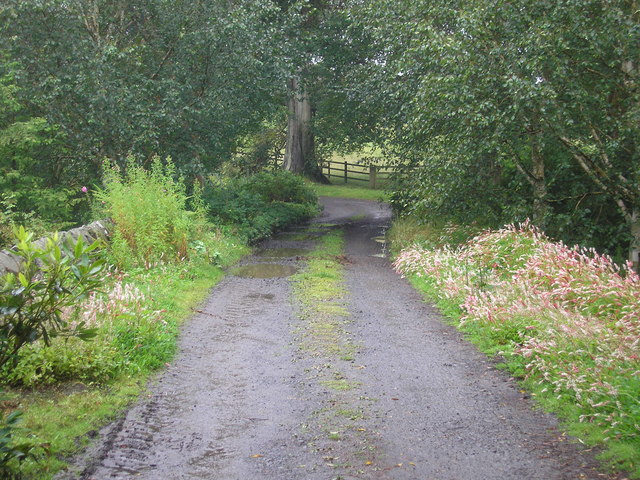
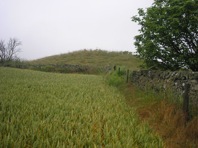
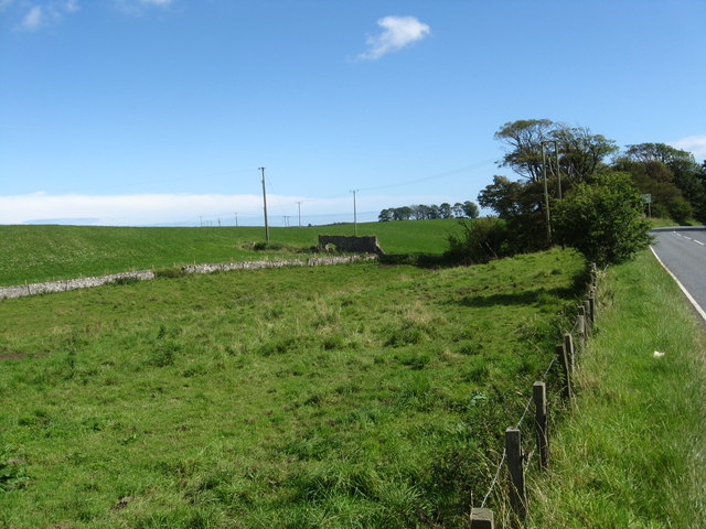
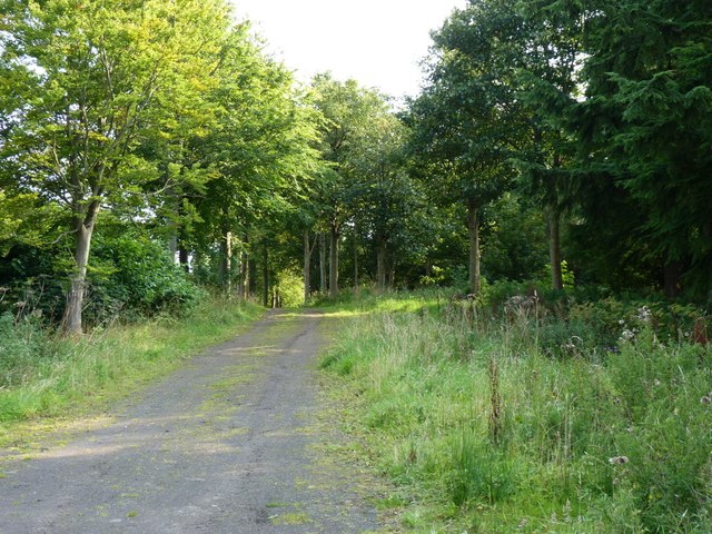
As visitors explore Castle Firs, they will be greeted by a carpet of vibrant wildflowers, including bluebells, primroses, and foxgloves, which add a splash of color to the forest floor during the spring and summer months. The forest also boasts an array of wildlife, such as red squirrels, roe deer, and a variety of bird species, including woodpeckers and owls.
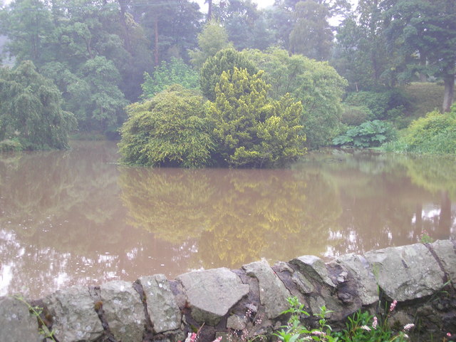
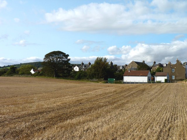
The highlight of Castle Firs is undoubtedly its namesake castle ruins, which date back to the 13th century. These ancient ruins serve as a reminder of the area's rich history and provide a fascinating glimpse into the past for history enthusiasts. The castle offers breathtaking views of the surrounding woodland and the nearby River Tay.
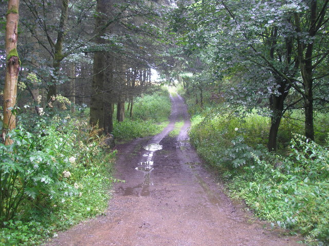
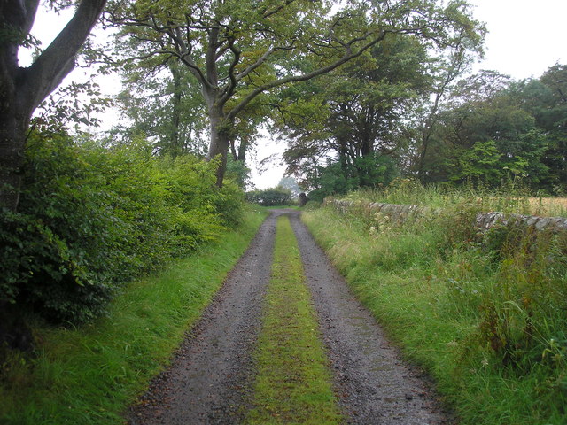
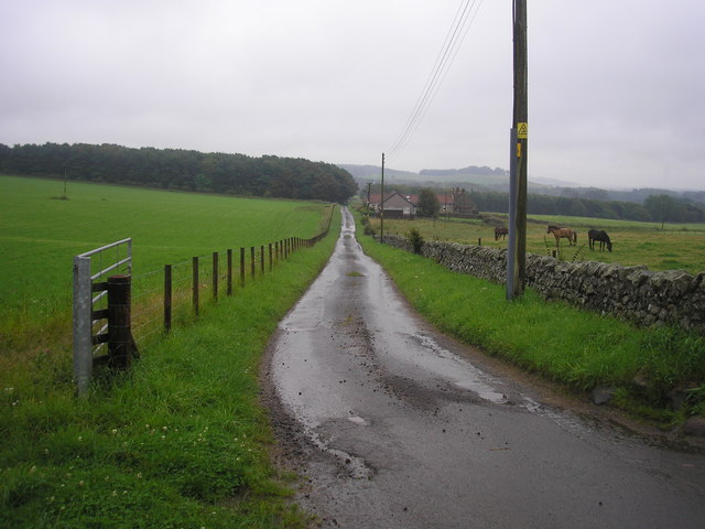
Castle Firs is not only a haven for nature enthusiasts but also offers various recreational activities. Visitors can enjoy leisurely walks along the well-maintained trails, engage in birdwatching, or simply relax and have a picnic amidst the tranquil surroundings.
In conclusion, Castle Firs, Fife, is a captivating woodland that combines natural beauty, historical significance, and recreational opportunities, making it a must-visit destination for those seeking a peaceful retreat in the heart of Scotland.
If you have any feedback on the listing, please let us know in the comments section below.
Castle Firs Images
Images are sourced within 2km of 56.232506/-2.8620792 or Grid Reference NO4604. Thanks to Geograph Open Source API. All images are credited.
Castle Firs is located at Grid Ref: NO4604 (Lat: 56.232506, Lng: -2.8620792)
Unitary Authority: Fife
Police Authority: Fife
What 3 Words
///opts.deployed.candles. Near Lundin Links, Fife
Nearby Locations
Related Wikis

Balcarres House
Balcarres House lies 1km north of the village of Colinsburgh, in the East Neuk of Fife, in eastern Scotland. It is centred on a mansion built in 1595...

Charleton House
Charleton House is located in the East Neuk of Fife, eastern Scotland. It lies around 1.5 kilometres (0.93 mi) west of Colinsburgh, and 5 kilometres (3...

Colinsburgh
Colinsburgh is a village in east Fife, Scotland, in the parish of Kilconquhar. == History == The village is named after Colin Lindsay, 3rd Earl of Balcarres...
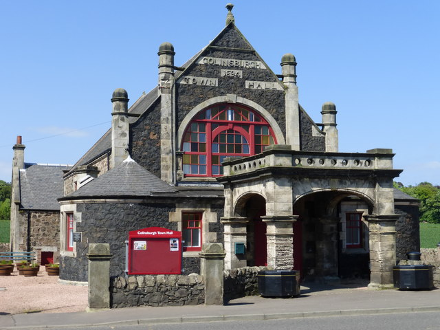
Colinsburgh Town Hall
Colinsburgh Town Hall is a municipal building in Main Street, Colinsburgh, Fife, Scotland. The building is used as a community events venue. == History... ==

Newburn, Fife
Newburn is a civil parish in the County of Fife in Scotland. It is located on the north coast of the Firth of Forth and bounded by the parishes of Kilconquhar...

Largoward
Largoward is a village in East Fife, Scotland, lying on the road from Leven to St Andrews in the Riggin o Fife, 4½ miles north-east of Lower Largo and...
Drumeldrie
Drumeldrie is a hamlet in the East Neuk area of Fife, Scotland. It is to the east of Upper Largo and is on the A917 road. It is around a 15-minute walk...

Lathones
Lathones (/lə'θonz/) is a village in Fife, Scotland, located approximately six miles (10 km) south west of St Andrews, in the parish of Cameron in the...
Nearby Amenities
Located within 500m of 56.232506,-2.8620792Have you been to Castle Firs?
Leave your review of Castle Firs below (or comments, questions and feedback).