North Rand Wood
Wood, Forest in Fife
Scotland
North Rand Wood
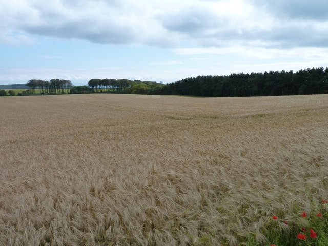
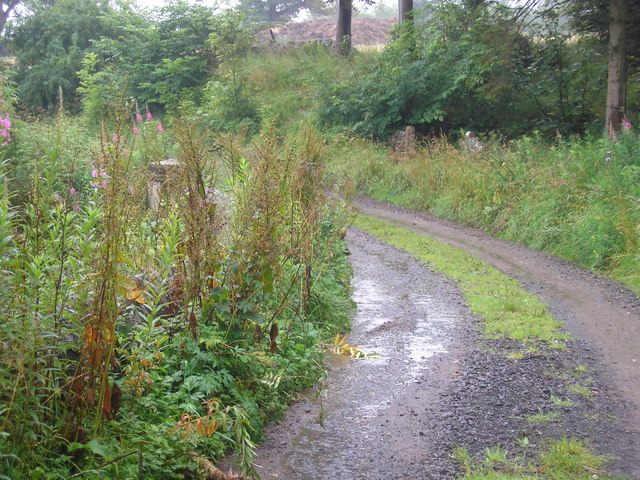
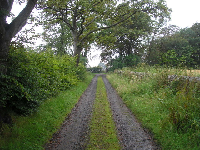
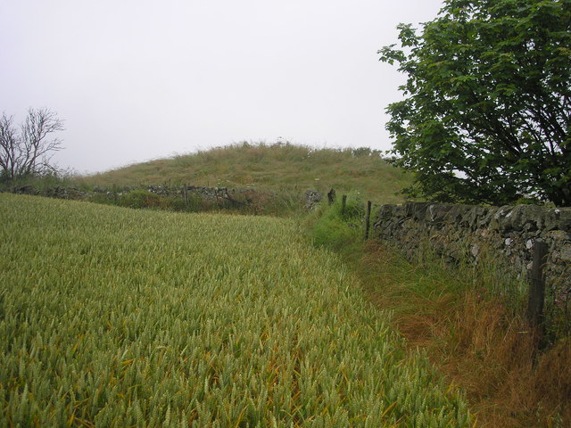
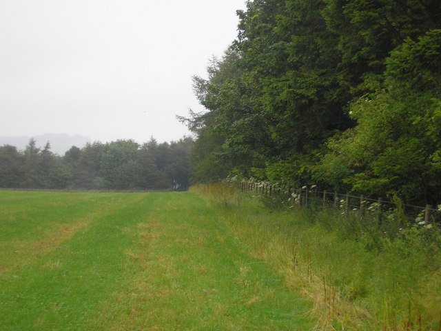
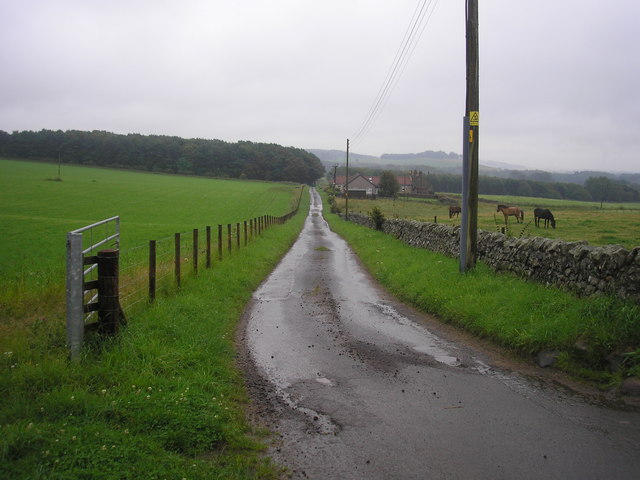
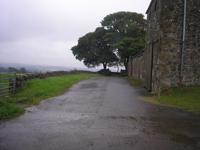
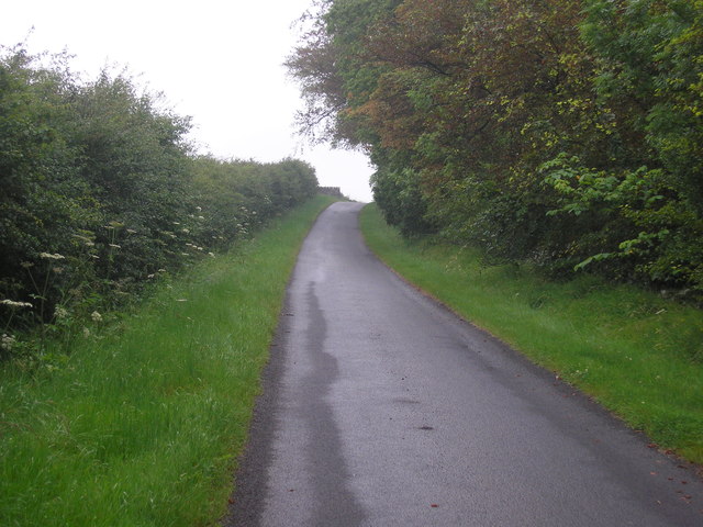
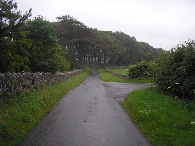
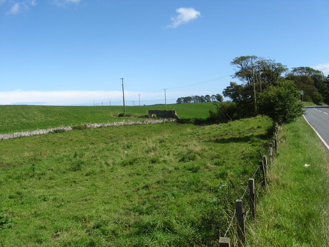
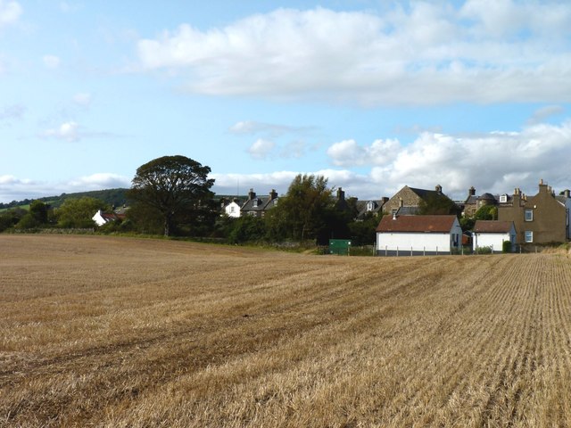
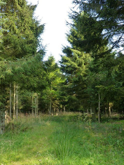
North Rand Wood is a dense forest located in the county of Fife, Scotland. Situated near the town of Wood, the woodland covers an area of approximately 200 acres. The forest is characterized by its abundant vegetation, consisting mainly of deciduous and coniferous trees, creating a diverse ecosystem.
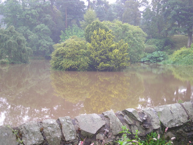
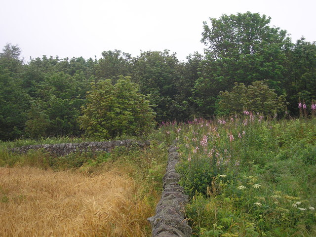
The wood is known for its rich biodiversity, providing a habitat for a variety of plant and animal species. Within its canopy, visitors can find oak, birch, beech, and pine trees, creating a picturesque landscape that changes with the seasons. The forest floor is covered with a carpet of ferns, mosses, and wildflowers, offering a vibrant display of colors during spring and summer months.
North Rand Wood is also home to a diverse range of wildlife. It is a haven for numerous bird species, including woodpeckers, owls, and various songbirds. Mammals such as red squirrels, deer, and foxes can also be spotted within the woodland, adding to its natural charm.
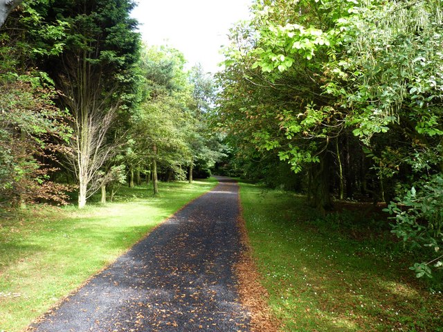
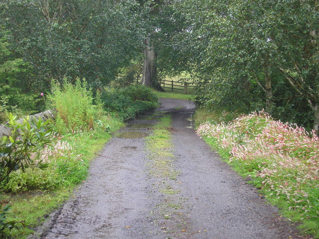
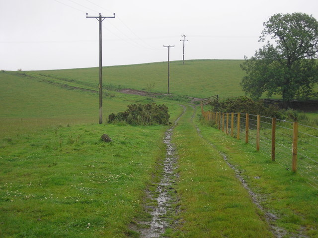
The forest offers numerous walking trails and paths, making it a popular destination for nature enthusiasts and hikers. These trails wind through the forest, allowing visitors to explore the beauty of the wood at their own pace. The peaceful ambiance of the wood, coupled with its natural beauty, provides a tranquil escape from the hustle and bustle of everyday life.
Overall, North Rand Wood is a treasured natural gem in Fife, offering a serene environment and a chance to immerse oneself in the beauty of nature.
If you have any feedback on the listing, please let us know in the comments section below.
North Rand Wood Images
Images are sourced within 2km of 56.228028/-2.870269 or Grid Reference NO4604. Thanks to Geograph Open Source API. All images are credited.
North Rand Wood is located at Grid Ref: NO4604 (Lat: 56.228028, Lng: -2.870269)
Unitary Authority: Fife
Police Authority: Fife
What 3 Words
///pouch.releasing.topmost. Near Lundin Links, Fife
Nearby Locations
Related Wikis

Charleton House
Charleton House is located in the East Neuk of Fife, eastern Scotland. It lies around 1.5 kilometres (0.93 mi) west of Colinsburgh, and 5 kilometres (3...

Balcarres House
Balcarres House lies 1km north of the village of Colinsburgh, in the East Neuk of Fife, in eastern Scotland. It is centred on a mansion built in 1595...

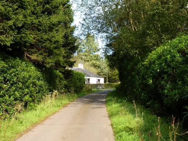
Colinsburgh
Colinsburgh is a village in east Fife, Scotland, in the parish of Kilconquhar. == History == The village is named after Colin Lindsay, 3rd Earl of Balcarres...

Newburn, Fife
Newburn is a civil parish in the County of Fife in Scotland. It is located on the north coast of the Firth of Forth and bounded by the parishes of Kilconquhar...
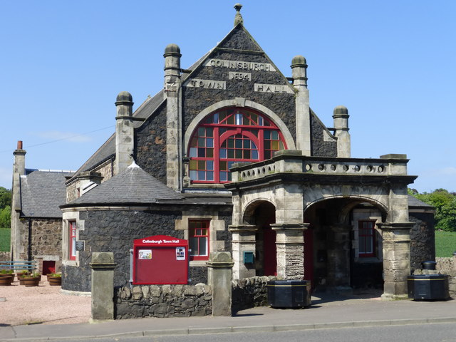
Colinsburgh Town Hall
Colinsburgh Town Hall is a municipal building in Main Street, Colinsburgh, Fife, Scotland. The building is used as a community events venue. == History... ==
Drumeldrie
Drumeldrie is a hamlet in the East Neuk area of Fife, Scotland. It is to the east of Upper Largo and is on the A917 road. It is around a 15-minute walk...
Kilconquhar railway station
Kilconquhar railway station served the village of Kilconquhar, Fife, Scotland from 1857 to 1965 on the Leven and East of Fife Railway. == History == The...

Largoward
Largoward is a village in East Fife, Scotland, lying on the road from Leven to St Andrews in the Riggin o Fife, 4½ miles north-east of Lower Largo and...
Nearby Amenities
Located within 500m of 56.228028,-2.870269Have you been to North Rand Wood?
Leave your review of North Rand Wood below (or comments, questions and feedback).