South Rand Wood
Wood, Forest in Fife
Scotland
South Rand Wood
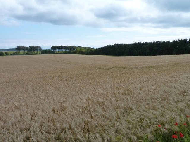
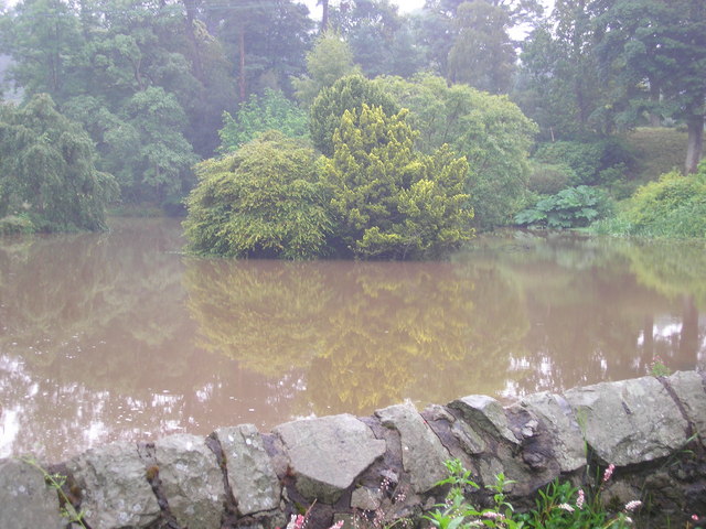
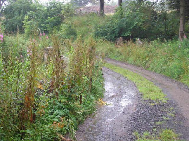
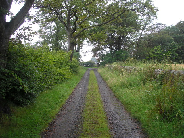
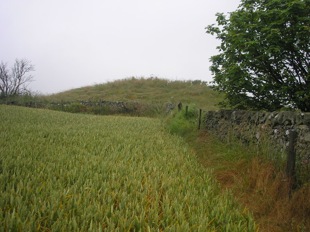
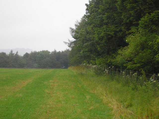
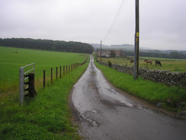
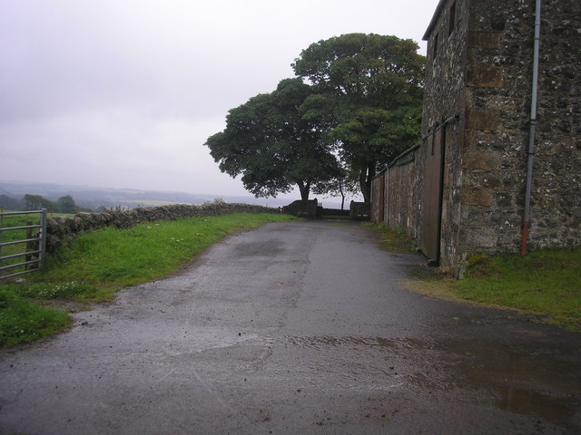
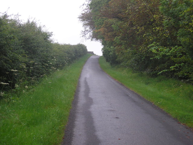
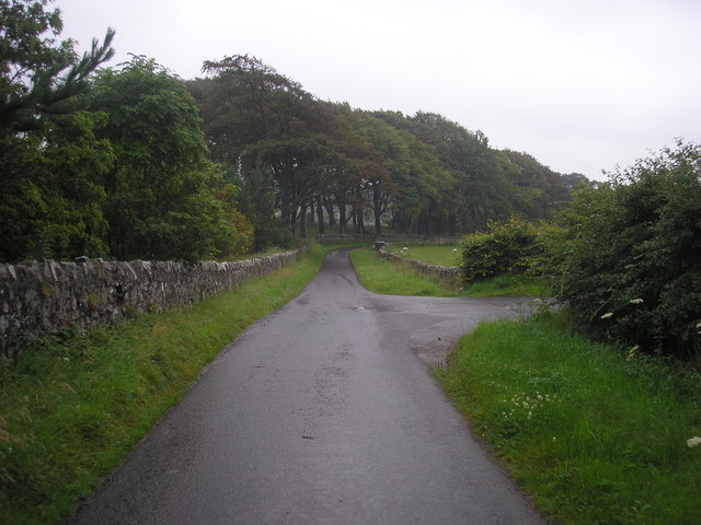
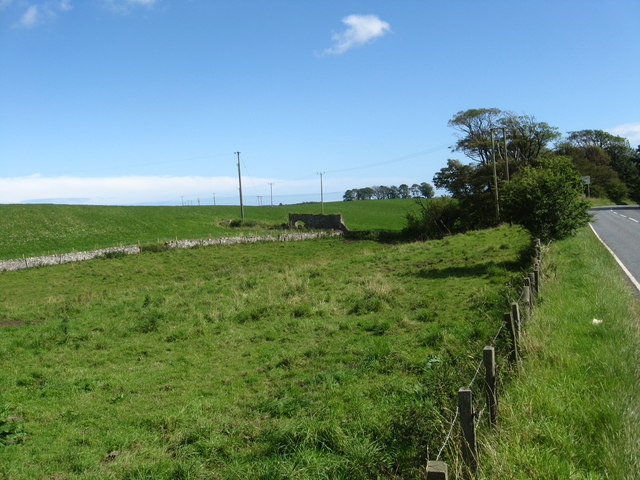
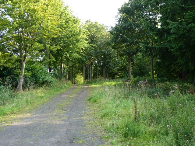
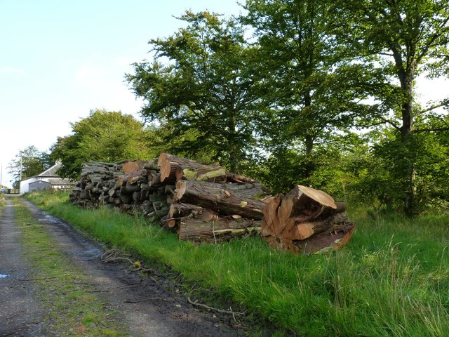
South Rand Wood, located in Fife, Scotland, is a charming forest area known for its natural beauty and recreational opportunities. Covering an extensive area of land, it offers a diverse range of flora and fauna, making it a popular destination for nature enthusiasts and outdoor adventurers.
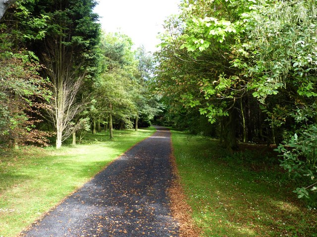
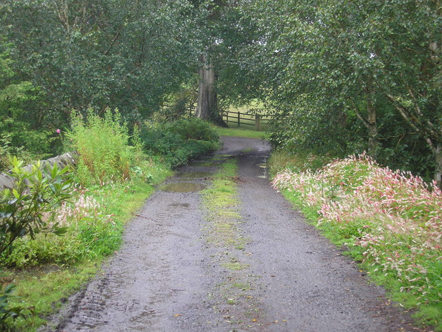
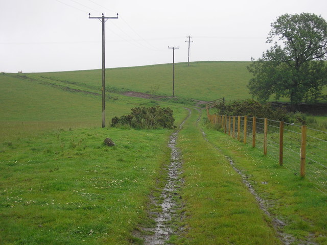
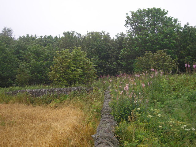
The wood is home to a variety of tree species, including oak, birch, and pine, which create a lush and picturesque landscape throughout the year. Visitors can enjoy peaceful walks along well-maintained trails that wind their way through the forest, providing opportunities to explore and discover the woodland's hidden treasures.
The forest is also a habitat for numerous wildlife species, such as deer, rabbits, squirrels, and a wide variety of bird species. Birdwatchers can spot great spotted woodpeckers, jays, and various songbirds nestled among the branches. For those interested in wildlife photography, South Rand Wood provides an ideal setting to capture mesmerizing shots of animals in their natural habitat.
Additionally, the wood offers several amenities for visitors to enjoy. There are picnic areas with benches and tables, allowing families and friends to relax and enjoy a meal amidst the tranquil surroundings. The forest also boasts a network of mountain biking trails, providing thrilling adventures for cycling enthusiasts.
South Rand Wood, with its abundant natural beauty, diverse wildlife, and recreational activities, is a haven for those seeking solace in nature or looking for an outdoor adventure. Its accessibility and well-maintained facilities make it a perfect destination for individuals and families alike, creating unforgettable experiences for all who visit.
If you have any feedback on the listing, please let us know in the comments section below.
South Rand Wood Images
Images are sourced within 2km of 56.227903/-2.8676049 or Grid Reference NO4604. Thanks to Geograph Open Source API. All images are credited.
South Rand Wood is located at Grid Ref: NO4604 (Lat: 56.227903, Lng: -2.8676049)
Unitary Authority: Fife
Police Authority: Fife
What 3 Words
///quoted.tearfully.mental. Near Lundin Links, Fife
Nearby Locations
Related Wikis

Charleton House
Charleton House is located in the East Neuk of Fife, eastern Scotland. It lies around 1.5 kilometres (0.93 mi) west of Colinsburgh, and 5 kilometres (3...

Balcarres House
Balcarres House lies 1km north of the village of Colinsburgh, in the East Neuk of Fife, in eastern Scotland. It is centred on a mansion built in 1595...

Colinsburgh
Colinsburgh is a village in east Fife, Scotland, in the parish of Kilconquhar. == History == The village is named after Colin Lindsay, 3rd Earl of Balcarres...
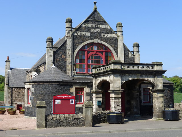
Colinsburgh Town Hall
Colinsburgh Town Hall is a municipal building in Main Street, Colinsburgh, Fife, Scotland. The building is used as a community events venue. == History... ==

Newburn, Fife
Newburn is a civil parish in the County of Fife in Scotland. It is located on the north coast of the Firth of Forth and bounded by the parishes of Kilconquhar...
Drumeldrie
Drumeldrie is a hamlet in the East Neuk area of Fife, Scotland. It is to the east of Upper Largo and is on the A917 road. It is around a 15-minute walk...
Kilconquhar railway station
Kilconquhar railway station served the village of Kilconquhar, Fife, Scotland from 1857 to 1965 on the Leven and East of Fife Railway. == History == The...

Largoward
Largoward is a village in East Fife, Scotland, lying on the road from Leven to St Andrews in the Riggin o Fife, 4½ miles north-east of Lower Largo and...
Nearby Amenities
Located within 500m of 56.227903,-2.8676049Have you been to South Rand Wood?
Leave your review of South Rand Wood below (or comments, questions and feedback).