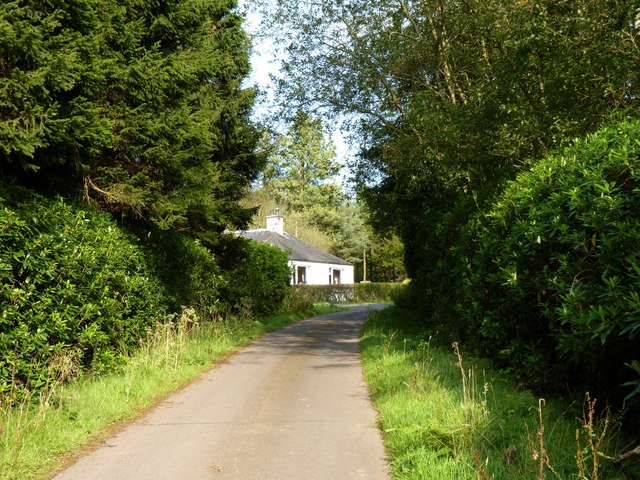
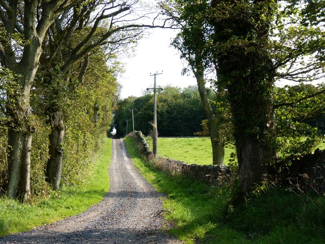
Castle Larches
Wood, Forest in Fife
Scotland
Castle Larches
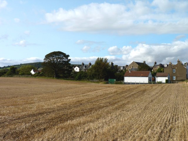
Castle Larches is a historic estate located in Fife, Scotland. Situated amidst a lush woodland, the castle is nestled within a picturesque forest known for its abundant larch trees, which give the estate its name. The castle itself dates back to the 17th century and is a fine example of Scottish baronial architecture.
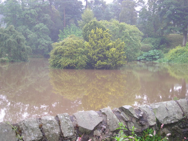
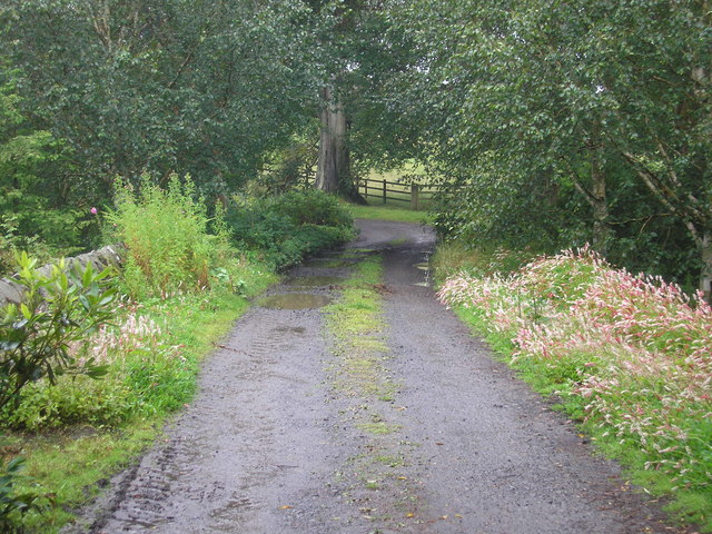
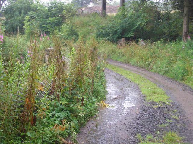
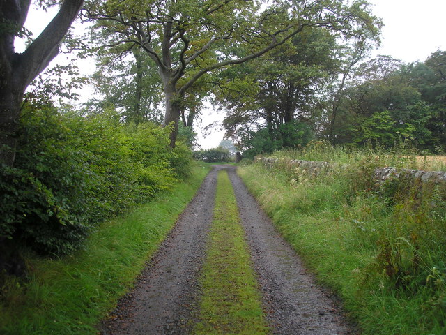
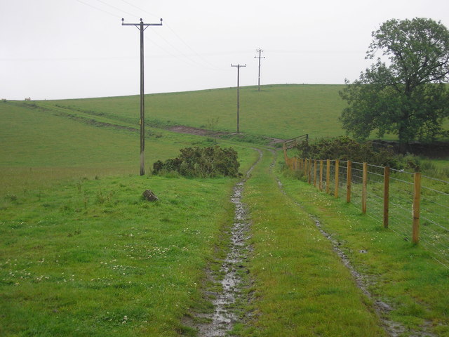
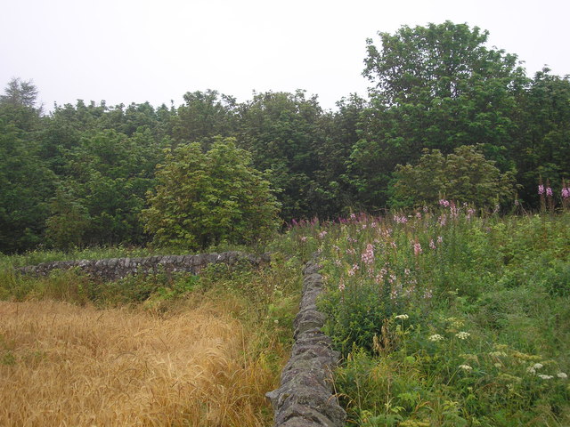
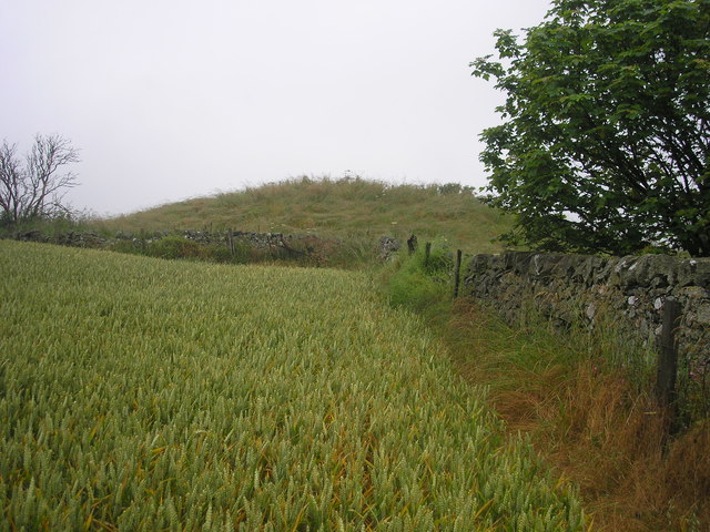
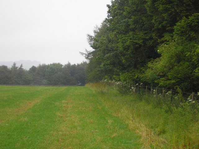
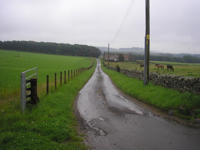
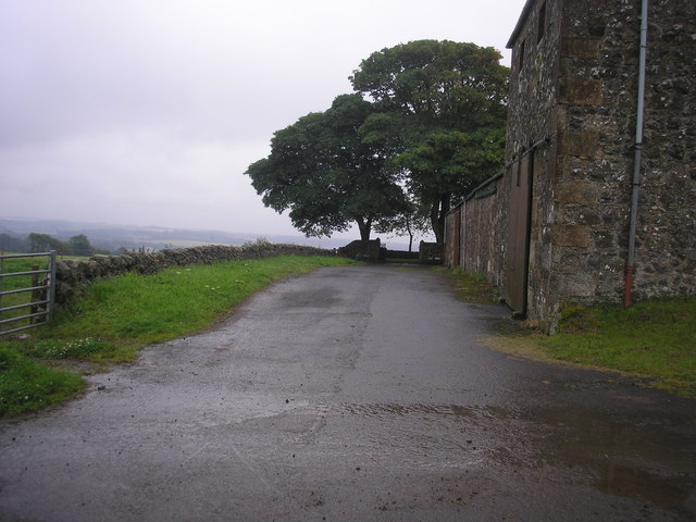
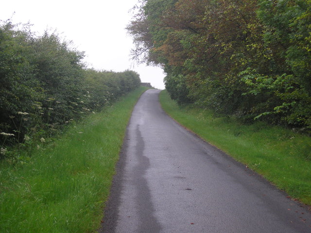
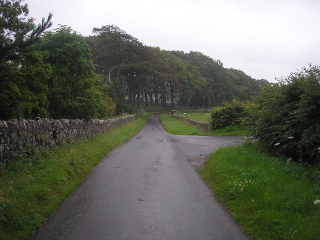
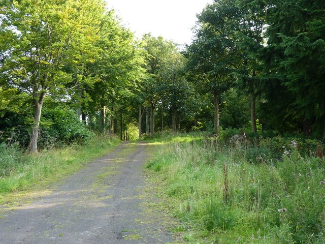
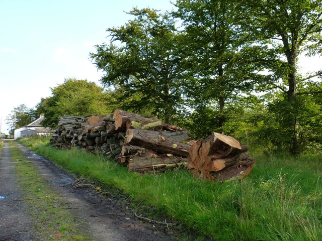
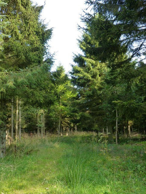
Surrounded by acres of beautiful woodland, Castle Larches offers a tranquil and idyllic setting. The forest is home to a diverse range of flora and fauna, including ancient oak trees, vibrant wildflowers, and various species of birds. Visitors can explore the extensive network of walking trails, immersing themselves in the natural beauty of the surroundings.
The castle itself boasts a rich history and is a testament to Scotland's architectural heritage. Its imposing facade features turrets, battlements, and ornate stonework, offering a glimpse into the grandeur of the past. Inside, the castle is adorned with intricate woodwork, elaborate tapestries, and period furnishings, providing a fascinating insight into the lives of its former inhabitants.
Castle Larches is open to the public, allowing visitors to tour the castle and learn about its history through informative displays and guided tours. The estate also offers various outdoor activities, including archery, fishing, and falconry, providing a unique and immersive experience for visitors of all ages.
Whether exploring the forest trails, admiring the architecture, or delving into the castle's past, Castle Larches offers a captivating and enchanting experience for all who visit.
If you have any feedback on the listing, please let us know in the comments section below.
Castle Larches Images
Images are sourced within 2km of 56.234022/-2.866243 or Grid Reference NO4604. Thanks to Geograph Open Source API. All images are credited.
Castle Larches is located at Grid Ref: NO4604 (Lat: 56.234022, Lng: -2.866243)
Unitary Authority: Fife
Police Authority: Fife
What 3 Words
///detonated.enthused.bribing. Near Lundin Links, Fife
Nearby Locations
Related Wikis

Balcarres House
Balcarres House lies 1km north of the village of Colinsburgh, in the East Neuk of Fife, in eastern Scotland. It is centred on a mansion built in 1595...

Charleton House
Charleton House is located in the East Neuk of Fife, eastern Scotland. It lies around 1.5 kilometres (0.93 mi) west of Colinsburgh, and 5 kilometres (3...

Colinsburgh
Colinsburgh is a village in east Fife, Scotland, in the parish of Kilconquhar. == History == The village is named after Colin Lindsay, 3rd Earl of Balcarres...
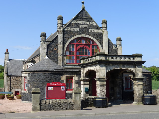
Colinsburgh Town Hall
Colinsburgh Town Hall is a municipal building in Main Street, Colinsburgh, Fife, Scotland. The building is used as a community events venue. == History... ==

Newburn, Fife
Newburn is a civil parish in the County of Fife in Scotland. It is located on the north coast of the Firth of Forth and bounded by the parishes of Kilconquhar...

Largoward
Largoward is a village in East Fife, Scotland, lying on the road from Leven to St Andrews in the Riggin o Fife, 4½ miles north-east of Lower Largo and...
Drumeldrie
Drumeldrie is a hamlet in the East Neuk area of Fife, Scotland. It is to the east of Upper Largo and is on the A917 road. It is around a 15-minute walk...

Lathones
Lathones (/lə'θonz/) is a village in Fife, Scotland, located approximately six miles (10 km) south west of St Andrews, in the parish of Cameron in the...
Related Videos


Summer Road Trip Drive With Music On History Visit To Colinsburgh East Neuk Of Fife Scotland
Tour Scotland Summer 4K travel video of a road trip drive, with Scottish music, on ancestry, genealogy, family history visit to ...

Summer Road Trip Drive With Music On History Visit To Largoward in East Fife Scotland
Tour Scotland Summer 4K travel video of a road trip drive, with Scottish music, on ancestry, genealogy, family history visit to ...

Winter Road Trip Drive With Music On History Visit To Colinsburgh East Neuk Of Fife Scotland
Tour Scotland 4K Winter travel video of a road trip drive, with Scottish music, on ancestry, genealogy, family history visit to ...
Nearby Amenities
Located within 500m of 56.234022,-2.866243Have you been to Castle Larches?
Leave your review of Castle Larches below (or comments, questions and feedback).