Heathery Covert

Wood, Forest in Selkirkshire

Scotland

Heathery Covert

Recycling centre, Selkirk Householders disposing of waste and recyclable material at the local centre next to the sewage works.
Recycling centre, Selkirk Credit: Jim Barton

Heathery Covert is a picturesque woodland area located in Selkirkshire, Scotland. This enchanting forest is renowned for its lush greenery, diverse wildlife, and tranquil atmosphere, making it a popular destination for nature enthusiasts and outdoor adventurers.

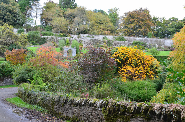
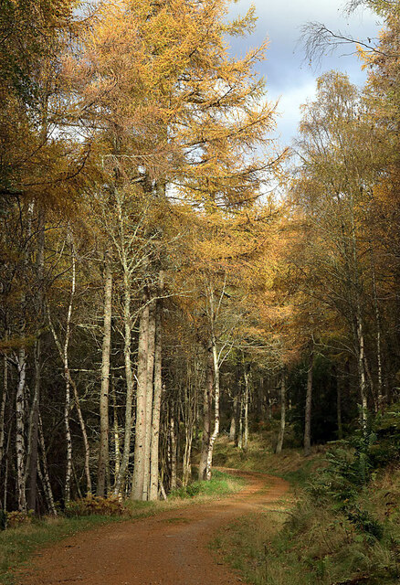
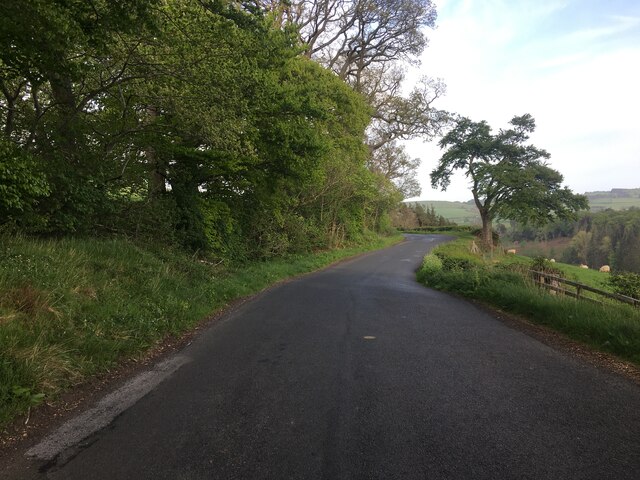
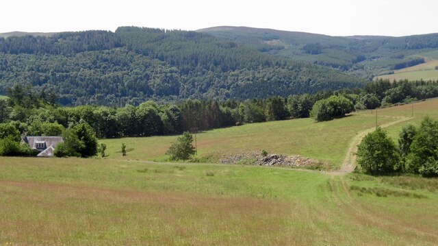
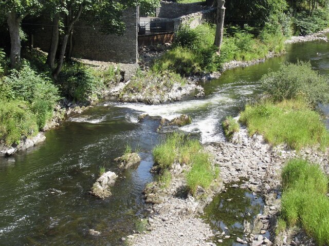
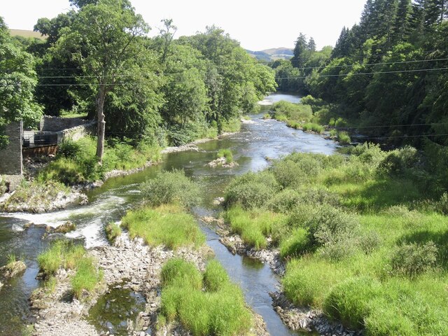
Covering an area of approximately 200 acres, Heathery Covert boasts a rich variety of native trees, including oak, birch, and pine. The forest floor is blanketed with a thick layer of heather, giving the woodland its distinctive name. This vibrant carpet of purple and green creates a stunning contrast against the towering trees, especially during the blooming season.

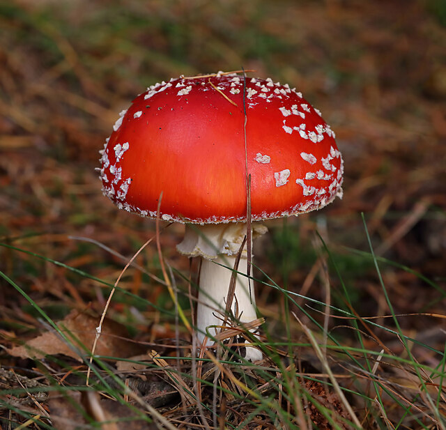
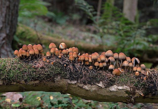
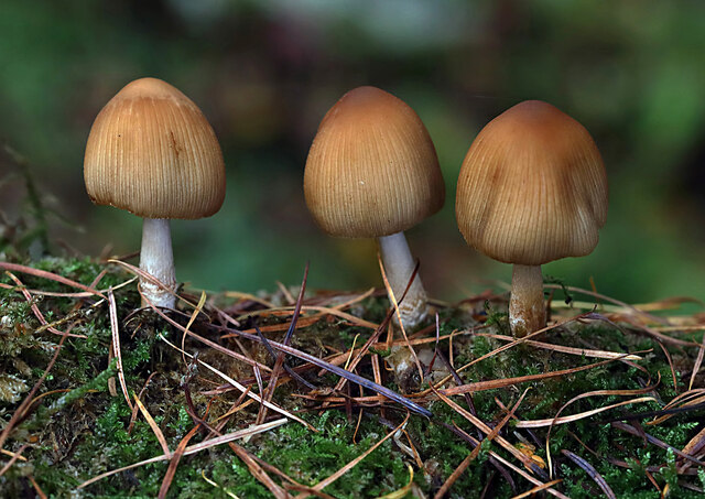
The forest is home to a wide range of wildlife, making it a haven for nature lovers and bird watchers. Visitors may spot elusive creatures such as red squirrels, roe deer, and even the occasional red fox. Bird species commonly seen in Heathery Covert include woodpeckers, owls, and various songbirds.

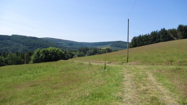
A network of well-maintained trails winds through the woodland, offering visitors the opportunity to explore the forest at their own pace. These trails cater to different levels of difficulty, ensuring that there is something for everyone, from casual strollers to experienced hikers. Along the way, hikers can enjoy breathtaking views of the surrounding Selkirkshire countryside and may stumble upon hidden gems like babbling brooks and secluded glens.

Heathery Covert is not only a natural oasis but also a valuable educational resource. It serves as a learning center for local schools and offers guided tours and workshops on topics such as conservation, ecology, and sustainable forest management.

Overall, Heathery Covert is a cherished natural treasure in Selkirkshire, offering visitors a chance to immerse themselves in the beauty of Scotland's woodlands and allowing them to reconnect with nature in a truly magical setting.

If you have any feedback on the listing, please let us know in the comments section below.

Heathery Covert Images

Images are sourced within 2km of 55.574639/-2.8513799 or Grid Reference NT4631. Thanks to Geograph Open Source API. All images are credited.

Recycling centre, Selkirk Householders disposing of waste and recyclable material at the local centre next to the sewage works.
Recycling centre, Selkirk
Householders disposing of waste and recyclable material at the local centre next to the sewage works.
Cottages on Yair estate On the road on the south side of the Yair Burn.
Cottages on Yair estate
On the road on the south side of the Yair Burn.
The walled garden at Yair The garden showing some attractive autumn colours.
The walled garden at Yair
The garden showing some attractive autumn colours.
A fly agaric mushroom (Amanita muscaria) This mushroom which is usually associated with birch and pine trees is one of the easiest species to recognise.
A fly agaric mushroom (Amanita muscaria)
This mushroom which is usually associated with birch and pine trees is one of the easiest species to recognise.
Glistening ink cap mushrooms (Coprinellus micaceus) This edible species is usually associated with dead tree stumps or buried wood. The photograph was taken in Lindinny Wood.
Glistening ink cap mushrooms (Coprinellus micaceus)
This edible species is usually associated with dead tree stumps or buried wood. The photograph was taken in Lindinny Wood.
A forestry track in Howlands Plantation
Rink Hill from Eildon Mid Hill The small circular plantation on Rink Hill is the site of an Iron Age hillfort. This telephoto shot was taken from the summit of Eildon Mid Hill during a December sunrise. For two closer views of the small plantation on Rink Hill, see <a href="https://www.geograph.org.uk/photo/2347041">NT4832 : The Rink Hill Fort</a> and <a href="https://www.geograph.org.uk/photo/1758293">NT4732 : Rink Hill</a>.
Rink Hill from Eildon Mid Hill
The small circular plantation on Rink Hill is the site of an Iron Age hillfort. This telephoto shot was taken from the summit of Eildon Mid Hill during a December sunrise. For two closer views of the small plantation on Rink Hill, see NT4832 : The Rink Hill Fort and NT4732 : Rink Hill.
Empty retail unit, Selkirk
Cycle path, Selkirk Linking Selkirk and Galashiels by use of path beside the A7 and redundant road alignments.
Cycle path, Selkirk
Linking Selkirk and Galashiels by use of path beside the A7 and redundant road alignments.
A7 and cycle path, Lindean Linking Selkirk and Galashiels by use of path beside the A7 and redundant road alignments.
A7 and cycle path, Lindean
Linking Selkirk and Galashiels by use of path beside the A7 and redundant road alignments.
B7060 near Yair
B7060 near Yair
Calfshaw View over Tweeddale from the Southern Upland Way.
Calfshaw
View over Tweeddale from the Southern Upland Way.
Southern Upland Way, Calfshaw Good conditions for the bike, but a serious issue for livestock farmers.
Southern Upland Way, Calfshaw
Good conditions for the bike, but a serious issue for livestock farmers.
River Tweed, Fairnielee Upstream from Yair Bridge.
River Tweed, Fairnielee
Upstream from Yair Bridge.
Yair Bridge And low water on the Fairnielee rapids
Yair Bridge
And low water on the Fairnielee rapids
Fairnielee Rapids Very low water conditions.
Fairnielee Rapids
Very low water conditions.
Low water on the Tweed Fairnielee rapids during extremely low water conditions.
Low water on the Tweed
Fairnielee rapids during extremely low water conditions.
Show me another place!

Heathery Covert is located at Grid Ref: NT4631 (Lat: 55.574639, Lng: -2.8513799)

Unitary Authority: The Scottish Borders

Police Authority: The Lothians and Scottish Borders

What 3 Words

///playroom.moss.blizzard. Near Selkirk, Scottish Borders

Related Wikis

Yair, Scottish Borders

Yair, also known as The Yair, is an estate in the Scottish Borders. It stands by the River Tweed in the former county of Selkirkshire, 2.5 miles (4.0 km...

Yair Bridge

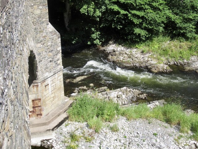
The Yair Bridge or Fairnilee Bridge is a bridge across the River Tweed at Yair, near Galashiels in the Scottish Borders. == History == It was built in...

Lindean railway station

Lindean railway station served the village of Lindean, Scottish Borders, Scotland, from 1856 to 1964 on the Selkirk and Galashiels Railway. == History... ==

Bridgelands

Bridgelands is a village and an 18th-century house in the Scottish Borders area of Scotland, in the parish of Selkirk. Sir Henry Raeburn's wife came from...

Ettrick Water

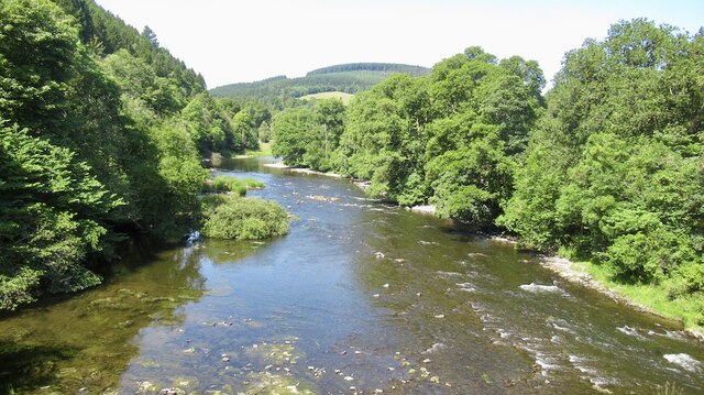
The Ettrick Water is a river in Ettrick, by the village of Ettrickbridge and the historic town of Selkirk, in the Scottish Borders area of Scotland. The...

Boleside

Boleside is a village in the Scottish Borders area of Scotland, on the B7060, south of Galashiels. It is very close to the place where the Ettrick Water...

Selkirk railway station

Selkirk railway station served the town of Selkirk, Scottish Borders, Scotland, from 1856 to 1964 on the Selkirk and Galashiels Railway. == History... ==

Selkirk, Scottish Borders

Selkirk is a town and historic royal burgh in the Scottish Borders council district of southeastern Scotland. It lies on the Ettrick Water, a tributary...

Nearby Amenities

Located within 500m of 55.574639,-2.8513799
Power: pole
Lat/Long: 55.5781277/-2.8474837
Power: pole
Lat/Long: 55.5781611/-2.8476746
Power: pole
Lat/Long: 55.5773841/-2.8473472
Power: pole
Lat/Long: 55.5765068/-2.8471862
Power: pole
Lat/Long: 55.5748108/-2.8468751
Power: pole
Lat/Long: 55.5739764/-2.846722
Power: pole
Lat/Long: 55.5731442/-2.8465693
Power: pole
Lat/Long: 55.5723313/-2.8464202
Power: pole
Lat/Long: 55.5714398/-2.8462566
Power: pole
Lat/Long: 55.571508/-2.8464579
Power: pole
Lat/Long: 55.5723271/-2.8466077
Power: pole
Lat/Long: 55.5730884/-2.8467469
Power: pole
Lat/Long: 55.5740016/-2.8469139
Power: pole
Lat/Long: 55.5748007/-2.8470601
Power: pole
Lat/Long: 55.5755836/-2.8472032
Power: pole
Lat/Long: 55.5765449/-2.847379
Power: pole
Lat/Long: 55.5773588/-2.8475279
The data included in this document is from www.openstreetmap.org. The data is made available under ODbL.

Have you been to Heathery Covert?

Leave your review of Heathery Covert below (or comments, questions and feedback).