Mill Wood

Wood, Forest in Fife

Scotland

Mill Wood

On the outskirts of Largoward A sidestreet to the north of the village.
On the outskirts of Largoward Credit: James Allan

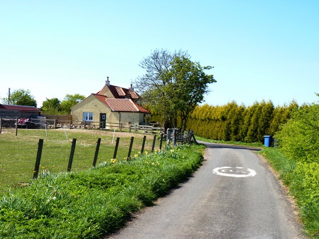
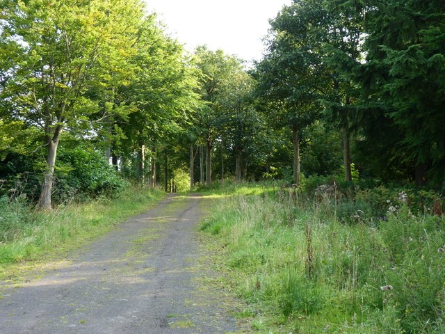
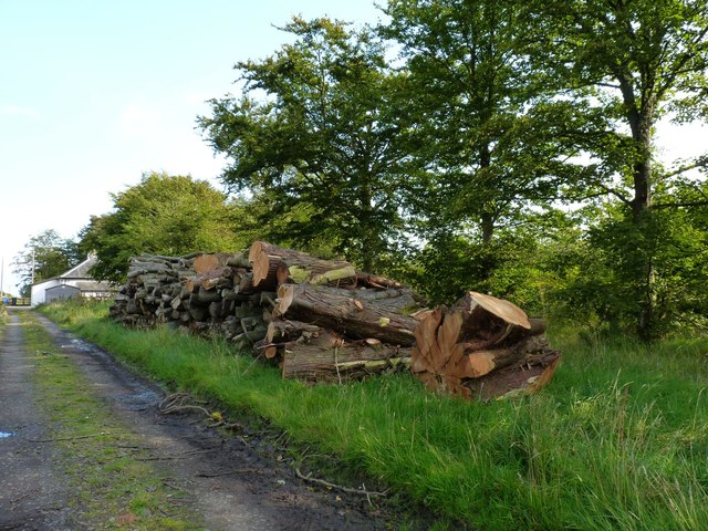
Mill Wood is a picturesque forest located in Fife, Scotland. Stretching across an area of approximately 100 acres, it is known for its natural beauty and tranquil atmosphere. The wood is situated in close proximity to the village of Falkland and is easily accessible to visitors.

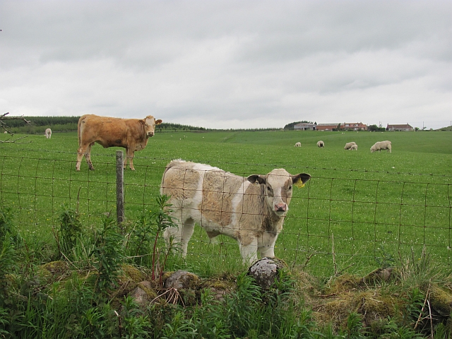
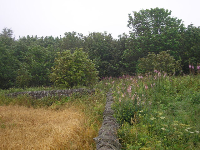
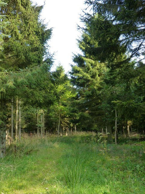
The woodland is predominantly composed of native broadleaf trees, including oak, birch, ash, and hazel, which create a dense canopy overhead. The forest floor is covered with a rich carpet of mosses, ferns, and wildflowers, providing a habitat for a variety of wildlife species. Bird enthusiasts can spot a diverse range of avian species, such as woodpeckers, thrushes, and owls.

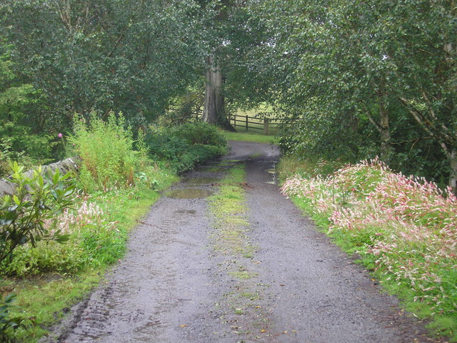
Several well-maintained trails wind through the wood, offering visitors the opportunity to explore the area and enjoy its natural splendor. These paths vary in length and difficulty, catering to both casual strollers and avid hikers. Along the way, there are several seating areas where visitors can rest and take in the tranquil surroundings.

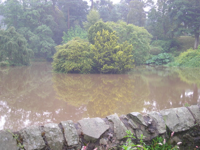
One of the highlights of Mill Wood is the presence of a charming mill pond, which adds to the overall beauty of the landscape. The pond is home to various aquatic plants and attracts a variety of waterfowl, making it a popular spot for nature lovers and photographers.

Mill Wood is a haven for those seeking a peaceful retreat in nature. Its idyllic setting, diverse flora and fauna, and well-maintained trails make it an ideal destination for outdoor enthusiasts, families, and individuals looking to escape the hustle and bustle of everyday life.

If you have any feedback on the listing, please let us know in the comments section below.
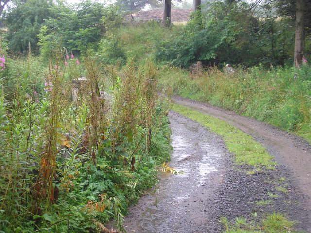
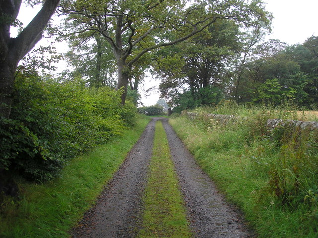
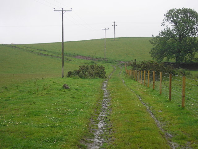
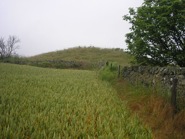
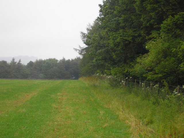
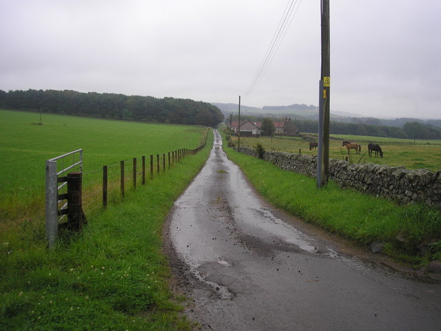
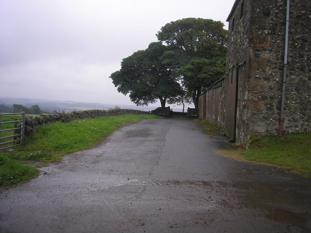
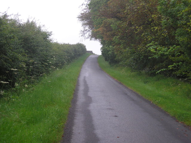
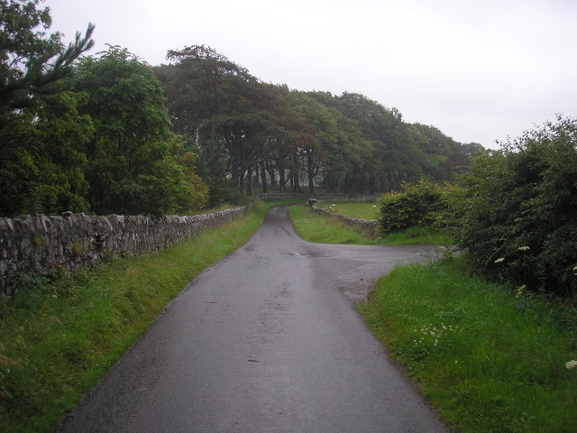
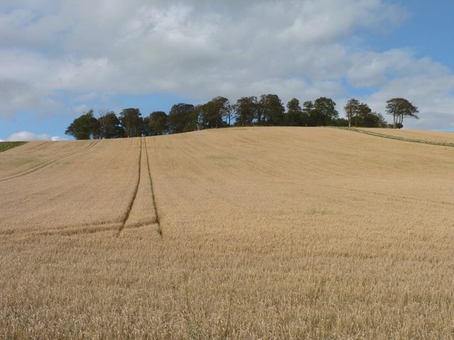
Mill Wood Images

Images are sourced within 2km of 56.24255/-2.8620951 or Grid Reference NO4605. Thanks to Geograph Open Source API. All images are credited.

On the outskirts of Largoward A sidestreet to the north of the village.
On the outskirts of Largoward
A sidestreet to the north of the village.
Cow and calf, Largoward
Mill pond The view of the mill pond as seen from the footbridge which crosses the river/stream which flows through the estate.
Mill pond
The view of the mill pond as seen from the footbridge which crosses the river/stream which flows through the estate.
Bridge over the river at the entrance to the mill pond The view of the bridge which crosses the Den Burn at the entrance to the mill pond <a href="https://www.geograph.org.uk/photo/2537731">NO4704 : Mill pond</a>.
Bridge over the river at the entrance to the mill pond
The view of the bridge which crosses the Den Burn at the entrance to the mill pond NO4704 : Mill pond.
Bridge over the Den Burn
Estate track
Estate track
Farm track leading to Flagstaff Hill
Corner of a field The view of the wall to the north of the highest point on Flagstaff Hill.
Corner of a field
The view of the wall to the north of the highest point on Flagstaff Hill.
The highest point on Flagstaff Hill The view from the field to the south of the highest point of Flagstaff Hill.
The highest point on Flagstaff Hill
The view from the field to the south of the highest point of Flagstaff Hill.
Field bordered by Transvaal Wood The view of the southern edge of a field bounded on three sides by woodland.  The wood on the southern side is named Transvaal Wood.
Field bordered by Transvaal Wood
The view of the southern edge of a field bounded on three sides by woodland. The wood on the southern side is named Transvaal Wood.
The road from Rires The view of the road that leads to Rires Farm
The road from Rires
The view of the road that leads to Rires Farm
Rires Farm
Rires Farm
Private road in Balcarres Estate
Road junction The view of a junction on the private road through the Balcarres Estate.  The road on the right leads to Rires.
Road junction
The view of a junction on the private road through the Balcarres Estate. The road on the right leads to Rires.
Trees beyond the barley Trees on top of the hill known as Kilbrackmont Knock.
Trees beyond the barley
Trees on top of the hill known as Kilbrackmont Knock.
Forest track Leading towards Menmuir.
Forest track
Leading towards Menmuir.
Timber pile Near Broad Lands cottage.
Timber pile
Near Broad Lands cottage.
Woodland path Through the conifer plantation north of Lathallan Mill.
Woodland path
Through the conifer plantation north of Lathallan Mill.
Show me another place!

Mill Wood is located at Grid Ref: NO4605 (Lat: 56.24255, Lng: -2.8620951)

Unitary Authority: Fife

Police Authority: Fife

What 3 Words

///bearings.then.lamppost. Near Lundin Links, Fife

Nearby Locations

Long Strip Mill Wood

Related Wikis

Nearby Amenities

Located within 500m of 56.24255,-2.8620951
Power: pole
Lat/Long: 56.2445963/-2.8551286
Power: pole
Lat/Long: 56.2441621/-2.8559281
Power: pole
Lat/Long: 56.2437091/-2.8567433
Power: pole
Lat/Long: 56.2432624/-2.8575586
Power: pole
Lat/Long: 56.2430265/-2.8579877
Power: pole
Lat/Long: 56.2427667/-2.8584823
Power: pole
Lat/Long: 56.2423563/-2.8592117
Power: pole
Lat/Long: 56.2419472/-2.8599231
Power: pole
Lat/Long: 56.2409897/-2.8605012
Power: pole
Lat/Long: 56.2405505/-2.8611945
Power: pole
Lat/Long: 56.2400974/-2.8618991
Power: pole
Lat/Long: 56.2396682/-2.8625743
Power: pole
Lat/Long: 56.2391813/-2.8633715
Power: pole
Lat/Long: 56.2387019/-2.8641936
Power: pole
Lat/Long: 56.2407689/-2.8599389
The data included in this document is from www.openstreetmap.org. The data is made available under ODbL.

Have you been to Mill Wood?

Leave your review of Mill Wood below (or comments, questions and feedback).