Long Strip

Wood, Forest in Fife

Scotland

Long Strip

Mill pond The view of the mill pond as seen from the footbridge which crosses the river/stream which flows through the estate.
Mill pond Credit: Sandy Gemmill

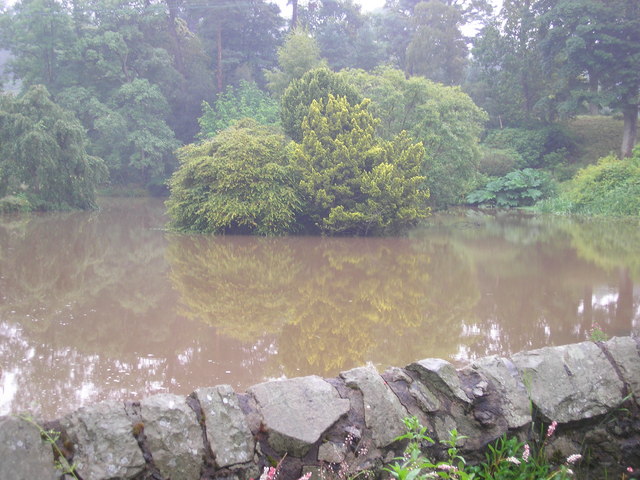
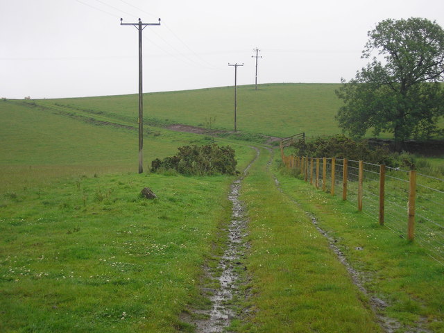
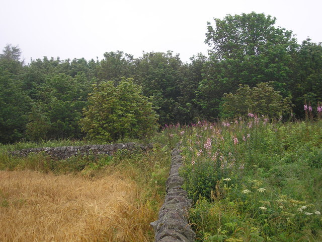
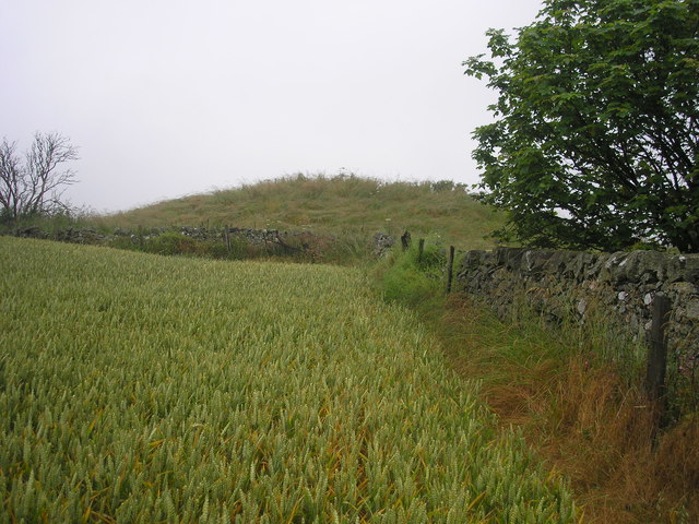
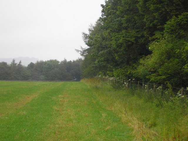
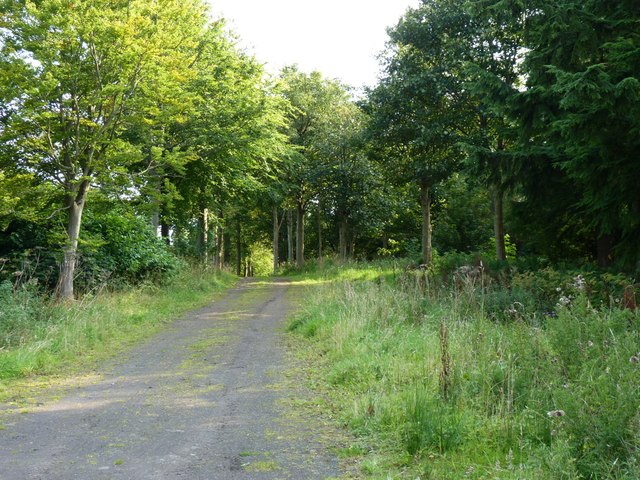
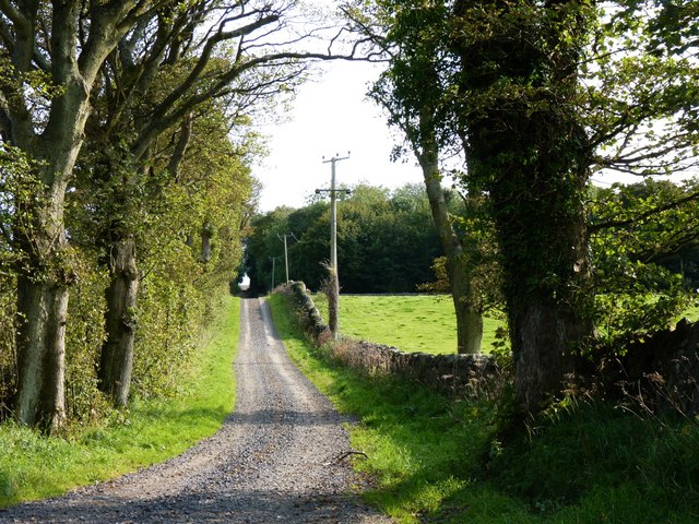
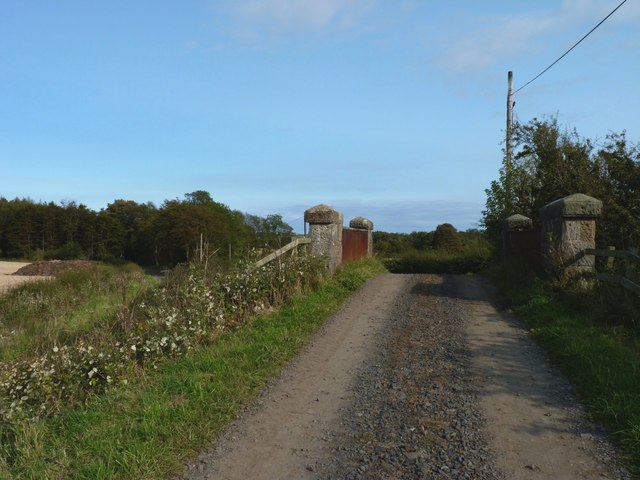
Long Strip is a picturesque woodland located in Fife, Scotland. It is situated in the eastern part of the country, near the town of Cupar. The woodland covers an expansive area and is characterized by its dense forest and tall trees, creating a serene and tranquil environment.

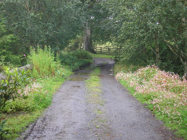
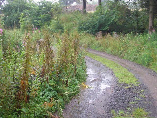
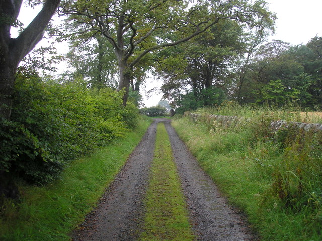
The name "Long Strip" refers to the shape and layout of the woodland, which stretches out in a long and narrow formation. This layout provides an intriguing and unique experience for visitors, as it allows for long walks and exploration along the forest trails.

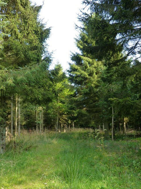
The woodland is home to a diverse range of flora and fauna. The dense tree canopy provides habitat for various bird species, including woodpeckers, owls, and thrushes. The forest floor is covered in a carpet of mosses, ferns, and wildflowers, adding to the natural beauty of the area.

Long Strip is a popular destination for nature lovers, hikers, and wildlife enthusiasts. The woodland offers numerous walking trails and paths, allowing visitors to immerse themselves in the peaceful surroundings. Along the trails, there are information boards providing details about the different tree species and wildlife that can be found in the area.

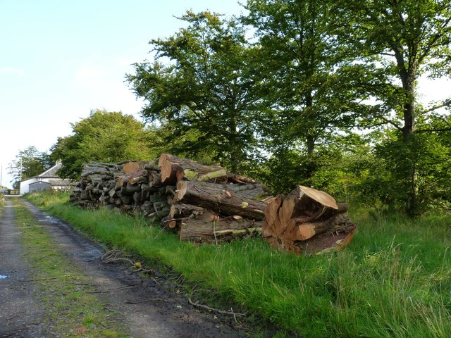
The woodland is managed and maintained by local authorities, ensuring the preservation of its natural beauty and the protection of its wildlife. Long Strip offers a tranquil escape from the hustle and bustle of everyday life, allowing visitors to connect with nature and enjoy the serenity of the Scottish woodlands.

If you have any feedback on the listing, please let us know in the comments section below.
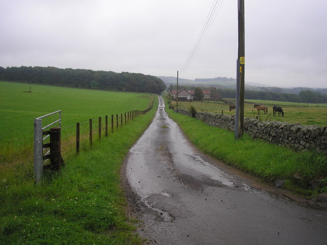
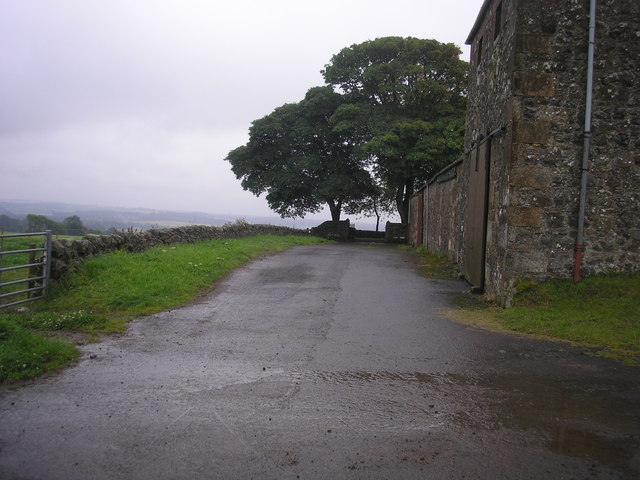
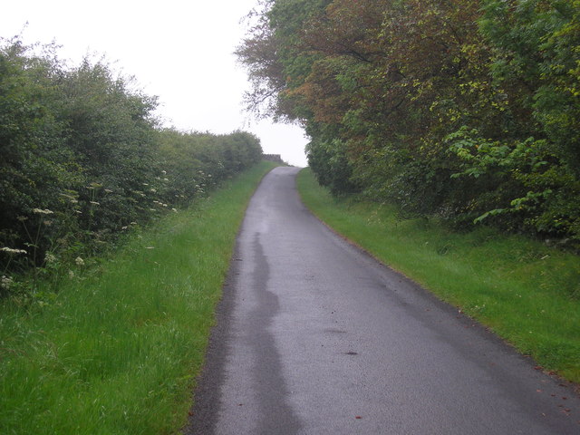
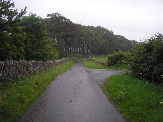
Long Strip Images

Images are sourced within 2km of 56.235594/-2.8714569 or Grid Reference NO4605. Thanks to Geograph Open Source API. All images are credited.

Mill pond The view of the mill pond as seen from the footbridge which crosses the river/stream which flows through the estate.
Mill pond
The view of the mill pond as seen from the footbridge which crosses the river/stream which flows through the estate.
Bridge over the river at the entrance to the mill pond The view of the bridge which crosses the Den Burn at the entrance to the mill pond <a href="https://www.geograph.org.uk/photo/2537731">NO4704 : Mill pond</a>.
Bridge over the river at the entrance to the mill pond
The view of the bridge which crosses the Den Burn at the entrance to the mill pond NO4704 : Mill pond.
Bridge over the Den Burn
Estate track
Estate track
Farm track leading to Flagstaff Hill
Corner of a field The view of the wall to the north of the highest point on Flagstaff Hill.
Corner of a field
The view of the wall to the north of the highest point on Flagstaff Hill.
The highest point on Flagstaff Hill The view from the field to the south of the highest point of Flagstaff Hill.
The highest point on Flagstaff Hill
The view from the field to the south of the highest point of Flagstaff Hill.
Field bordered by Transvaal Wood The view of the southern edge of a field bounded on three sides by woodland.  The wood on the southern side is named Transvaal Wood.
Field bordered by Transvaal Wood
The view of the southern edge of a field bounded on three sides by woodland. The wood on the southern side is named Transvaal Wood.
The road from Rires The view of the road that leads to Rires Farm
The road from Rires
The view of the road that leads to Rires Farm
Rires Farm
Rires Farm
Private road in Balcarres Estate
Road junction The view of a junction on the private road through the Balcarres Estate.  The road on the right leads to Rires.
Road junction
The view of a junction on the private road through the Balcarres Estate. The road on the right leads to Rires.
Forest track Leading towards Menmuir.
Forest track
Leading towards Menmuir.
Timber pile Near Broad Lands cottage.
Timber pile
Near Broad Lands cottage.
Woodland path Through the conifer plantation north of Lathallan Mill.
Woodland path
Through the conifer plantation north of Lathallan Mill.
Gatehouse at Lathallan Mill
Road to Lathallan Leading to Lathallan Home Farm.
Road to Lathallan
Leading to Lathallan Home Farm.
Bridge over nothing The old bridge on this farm road spans a long-vanished railway line.
Bridge over nothing
The old bridge on this farm road spans a long-vanished railway line.
Show me another place!

Long Strip is located at Grid Ref: NO4605 (Lat: 56.235594, Lng: -2.8714569)

Unitary Authority: Fife

Police Authority: Fife

What 3 Words

///demanding.shameless.mulled. Near Lundin Links, Fife

Nearby Locations

Mill Wood Long Strip

Related Wikis

Nearby Amenities

Located within 500m of 56.235594,-2.8714569
Power: pole
Lat/Long: 56.2382287/-2.8649907
Power: pole
Lat/Long: 56.2377531/-2.8658128
Power: pole
Lat/Long: 56.2373012/-2.8665693
Power: pole
Lat/Long: 56.2368494/-2.8673326
Power: pole
Lat/Long: 56.2363951/-2.868114
Power: pole
Lat/Long: 56.2351148/-2.8681659
Power: pole
Lat/Long: 56.2344145/-2.8681953
Power: pole
Lat/Long: 56.2337279/-2.8682224
Power: pole
Lat/Long: 56.2330463/-2.8682563
Power: pole
Lat/Long: 56.2323509/-2.8682856
Power: pole
Lat/Long: 56.2317409/-2.868324
Power: pole
Lat/Long: 56.2316141/-2.8686718
Power: pole
Lat/Long: 56.2314547/-2.8691573
Power: pole
Lat/Long: 56.2312588/-2.8697693
The data included in this document is from www.openstreetmap.org. The data is made available under ODbL.

Have you been to Long Strip?

Leave your review of Long Strip below (or comments, questions and feedback).