Badger Wood
Wood, Forest in East Lothian
Scotland
Badger Wood
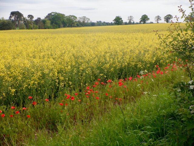
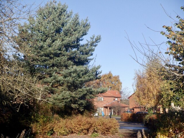
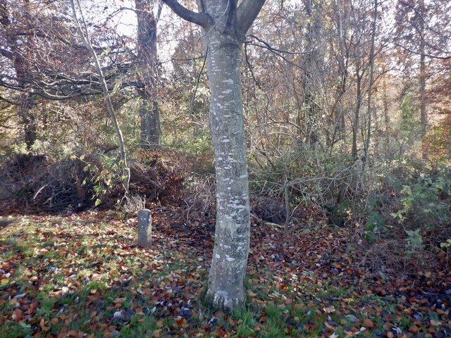
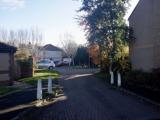
Badger Wood is a picturesque forest located in East Lothian, Scotland. Spread across a vast area, it is a popular destination for nature enthusiasts and outdoor lovers. The wood is named after the presence of badgers, which can occasionally be spotted in the area.
The wood is characterized by a diverse range of tree species, including oak, beech, and pine, which contribute to its rich biodiversity. The forest floor is adorned with a carpet of wildflowers during the spring and summer months, creating a vibrant and colorful atmosphere.
The wood offers various walking trails and paths that wind through its dense foliage, providing visitors with an opportunity to explore and immerse themselves in the tranquil surroundings. There are also designated picnic areas where visitors can relax and enjoy a meal amidst the peaceful ambiance of the forest.
Badger Wood is home to a variety of wildlife, including deer, squirrels, and a wide array of bird species. Birdwatchers often flock to the area to catch a glimpse of rare and migratory birds. The wood's tranquil atmosphere and natural beauty also make it an ideal spot for photography enthusiasts.
Visitors are advised to follow the designated trails and respect the natural habitat of the forest. The wood is managed by local authorities who ensure its preservation and protection for generations to come. Badger Wood truly offers a serene and rejuvenating experience for all who venture into its enchanting realm.
If you have any feedback on the listing, please let us know in the comments section below.
Badger Wood Images
Images are sourced within 2km of 55.919347/-2.8552899 or Grid Reference NT4669. Thanks to Geograph Open Source API. All images are credited.


Badger Wood is located at Grid Ref: NT4669 (Lat: 55.919347, Lng: -2.8552899)
Unitary Authority: East Lothian
Police Authority: The Lothians and Scottish Borders
What 3 Words
///snored.underline.rebounds. Near Pencaitland, East Lothian
Nearby Locations
Related Wikis

Herdmanston House
Herdmanston House was a castle and later tower house located in the parish of Saltoun, East Lothian in Scotland.The lands of Herdmanston were held by the...
Saltoun Hall
Saltoun Hall is an historic house standing in extensive lands off the B6355, Pencaitland to East Saltoun road, about 1.5 miles from each village, in East...
Samuelston
Samuelston (Scots: Sammelstoun) is a small town just outside of Haddington, East Lothian. It has a population of 957. George Ker, laird of Samuelston,...
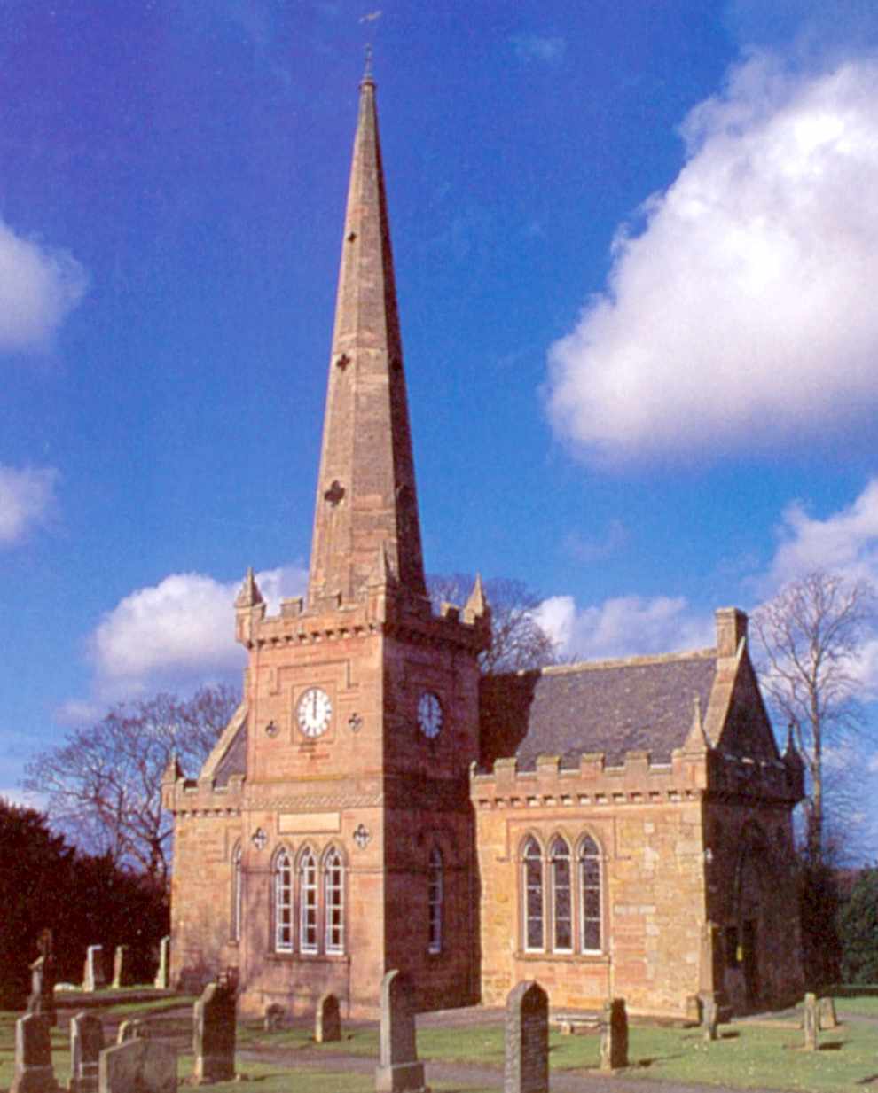
Saltoun Parish Church
Saltoun Parish Church is a church in East Saltoun, East Lothian, Scotland. It is part of the Church of Scotland, and (along with Yester Church and Bolton...

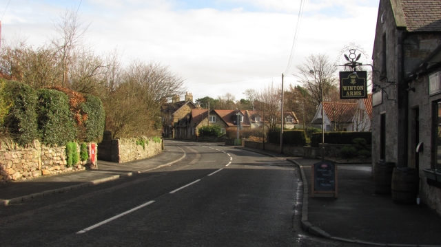
East Saltoun and West Saltoun
East Saltoun and West Saltoun are separate villages in East Lothian, Scotland, about 5 miles (8.0 kilometres) south-west of Haddington and 20 miles (32...
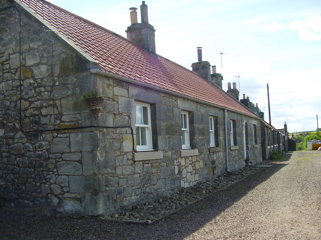
Pencaitland
Pencaitland is a village in East Lothian, Scotland, about 12 miles (19 kilometres) south-east of Edinburgh, 5 mi (8 km) south-west of Haddington, and 1...

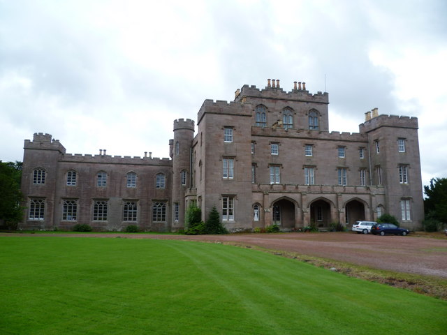
Winton Castle
Winton Castle is a historic building set in a large estate between Pencaitland and Tranent in East Lothian, Scotland. The castle is situated off the B6355...

Pencaitland railway station
Pencaitland railway station served the village of Pencaitland, East Lothian, Scotland, from 1901 to 1933 on the Macmerry Branch. == History == The station...
Nearby Amenities
Located within 500m of 55.919347,-2.8552899Have you been to Badger Wood?
Leave your review of Badger Wood below (or comments, questions and feedback).