Kimberley Wood
Wood, Forest in Fife
Scotland
Kimberley Wood
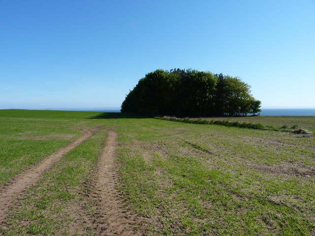
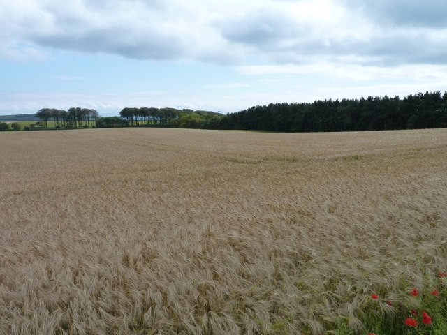
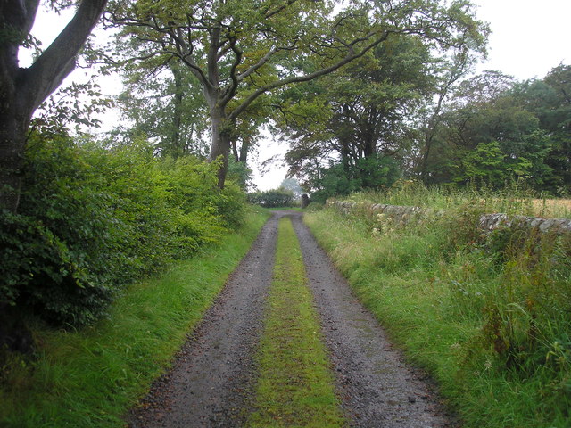
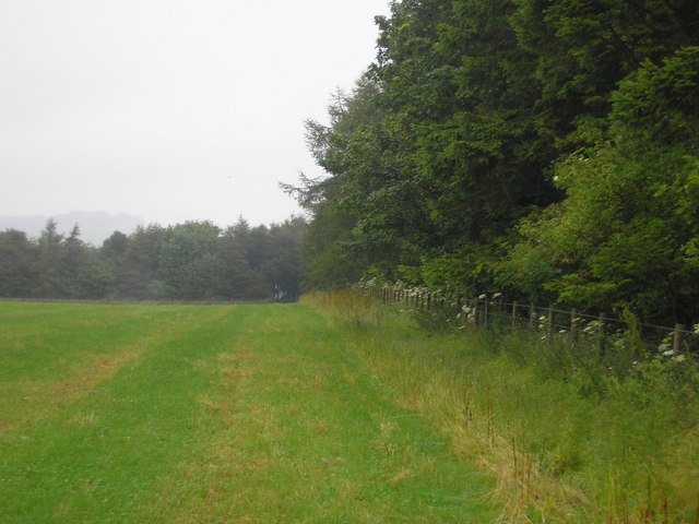
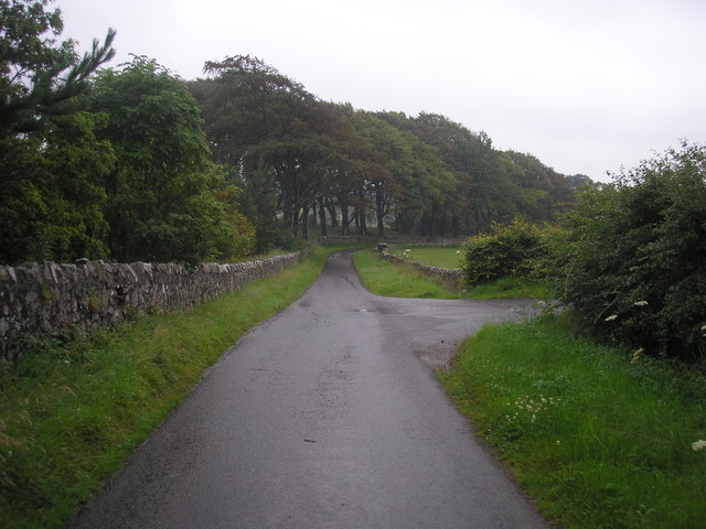
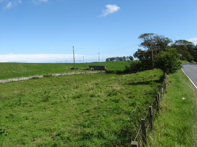
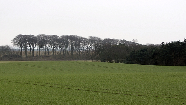
Kimberley Wood is a small woodland area located in Fife, Scotland. Situated near the town of Glenrothes, it is a popular spot for outdoor enthusiasts and nature lovers. Covering an area of approximately 10 hectares, Kimberley Wood is a mixture of native broadleaf trees, such as oak, birch, and beech, as well as coniferous species, including pine and spruce.
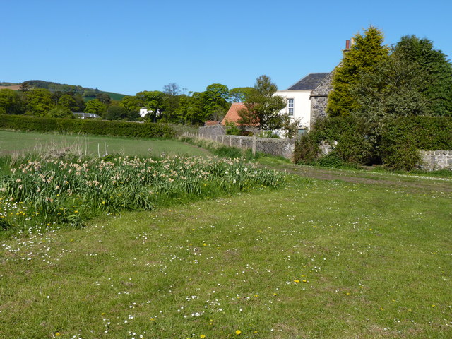
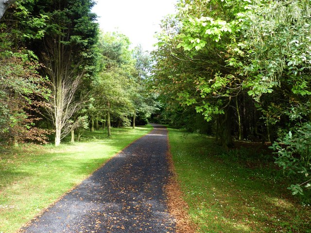
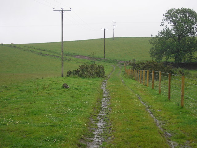
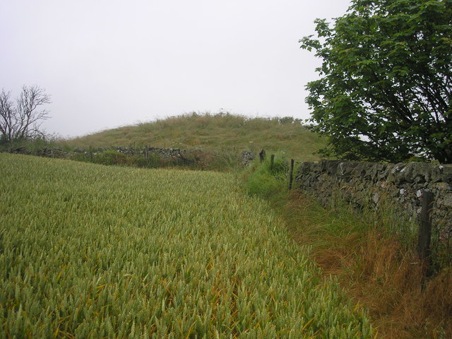
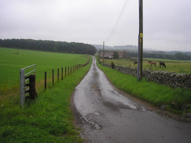
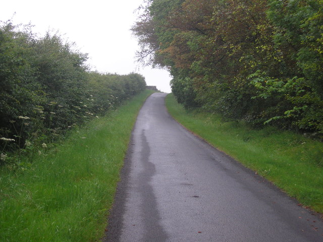
The wood offers a peaceful and tranquil environment, making it an ideal place for walking, picnicking, and wildlife spotting. Visitors can explore the numerous pathways that wind through the forest, taking in the sights and sounds of the natural surroundings. The diverse range of flora and fauna found in Kimberley Wood includes various species of birds, mammals, and insects, making it a haven for wildlife enthusiasts.
The wood is managed by the local council, which ensures the maintenance and preservation of the area. Facilities within the woodland include designated parking areas, well-maintained footpaths, and information boards providing visitors with details about the flora and fauna present.
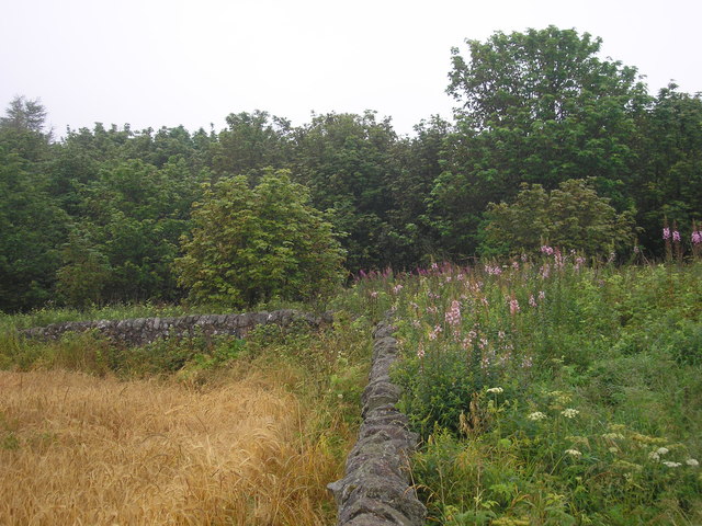
Kimberley Wood also holds historical significance, as it is believed to have been part of the ancient royal hunting forest of Falkland. Evidence of this can be seen in the remnants of old boundary walls and ditches that still exist within the woodland.
Overall, Kimberley Wood is a beautiful natural retreat, offering a peaceful escape from the hustle and bustle of everyday life. It provides an opportunity for visitors to connect with nature and enjoy the serenity of the Scottish countryside.
If you have any feedback on the listing, please let us know in the comments section below.
Kimberley Wood Images
Images are sourced within 2km of 56.22569/-2.8756028 or Grid Reference NO4504. Thanks to Geograph Open Source API. All images are credited.
Kimberley Wood is located at Grid Ref: NO4504 (Lat: 56.22569, Lng: -2.8756028)
Unitary Authority: Fife
Police Authority: Fife
What 3 Words
///handicaps.pans.monks. Near Lundin Links, Fife
Nearby Locations
Related Wikis

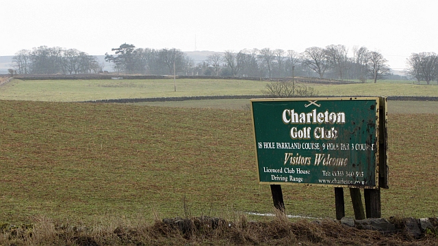
Charleton House
Charleton House is located in the East Neuk of Fife, eastern Scotland. It lies around 1.5 kilometres (0.93 mi) west of Colinsburgh, and 5 kilometres (3...

Newburn, Fife
Newburn is a civil parish in the County of Fife in Scotland. It is located on the north coast of the Firth of Forth and bounded by the parishes of Kilconquhar...

Balcarres House
Balcarres House lies 1km north of the village of Colinsburgh, in the East Neuk of Fife, in eastern Scotland. It is centred on a mansion built in 1595...
Drumeldrie
Drumeldrie is a hamlet in the East Neuk area of Fife, Scotland. It is to the east of Upper Largo and is on the A917 road. It is around a 15-minute walk...

Colinsburgh
Colinsburgh is a village in east Fife, Scotland, in the parish of Kilconquhar. == History == The village is named after Colin Lindsay, 3rd Earl of Balcarres...
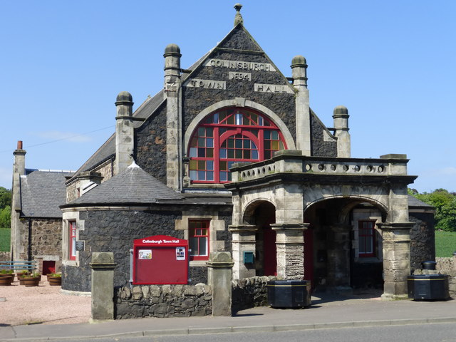
Colinsburgh Town Hall
Colinsburgh Town Hall is a municipal building in Main Street, Colinsburgh, Fife, Scotland. The building is used as a community events venue. == History... ==
Kilconquhar railway station
Kilconquhar railway station served the village of Kilconquhar, Fife, Scotland from 1857 to 1965 on the Leven and East of Fife Railway. == History == The...

Upper Largo
Upper Largo or Kirkton of Largo is a village in the parish of Largo, near the East Neuk of Fife, Scotland. It rests on the southern slopes of Largo Law...
Nearby Amenities
Located within 500m of 56.22569,-2.8756028Have you been to Kimberley Wood?
Leave your review of Kimberley Wood below (or comments, questions and feedback).