Scadlaw Wood
Wood, Forest in East Lothian
Scotland
Scadlaw Wood

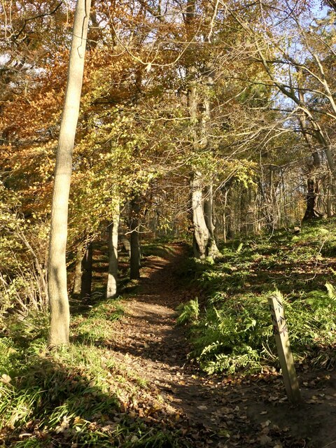
Scadlaw Wood is a picturesque and diverse woodland located in East Lothian, Scotland. It covers an area of approximately 100 hectares and is situated near the village of Humbie. The wood is easily accessible and is a popular destination for nature lovers, hikers, and birdwatchers.
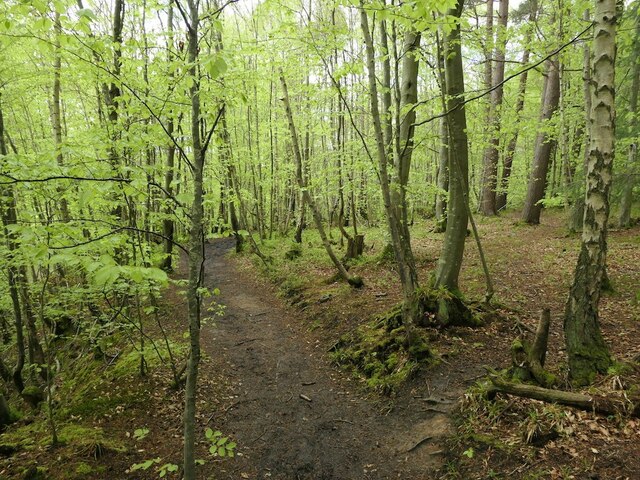
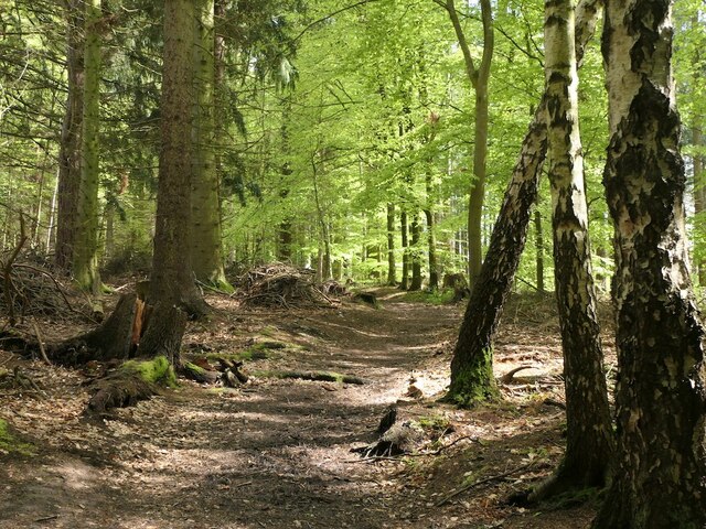
The woodland is characterized by its rich biodiversity, with a variety of tree species including oak, beech, and birch. The dense canopy provides a habitat for an array of wildlife, including deer, badgers, foxes, and numerous bird species. The wood is particularly renowned for its population of red squirrels, which can be spotted darting between the trees.
Scadlaw Wood offers a network of well-maintained paths and trails, making it an ideal location for walkers and cyclists. The trails wind through the wood, offering visitors the opportunity to explore the different habitats within the woodland. From open glades to dense thickets, the wood provides a range of landscapes to discover.
Nature enthusiasts will find plenty to enjoy in Scadlaw Wood. The wood is home to a wide variety of plant species, including bluebells, wood anemones, and wild garlic, which create a colorful display during the spring months. Birdwatchers will be delighted by the abundance of birdlife, with species such as woodpeckers, buzzards, and tree creepers frequently spotted in the area.
Overall, Scadlaw Wood is a haven of natural beauty and tranquility, providing a delightful escape for those seeking to immerse themselves in the wonders of the East Lothian countryside.
If you have any feedback on the listing, please let us know in the comments section below.
Scadlaw Wood Images
Images are sourced within 2km of 55.849341/-2.8671678 or Grid Reference NT4562. Thanks to Geograph Open Source API. All images are credited.


Scadlaw Wood is located at Grid Ref: NT4562 (Lat: 55.849341, Lng: -2.8671678)
Unitary Authority: East Lothian
Police Authority: The Lothians and Scottish Borders
What 3 Words
///revisits.informs.news. Near Pencaitland, East Lothian
Nearby Locations
Related Wikis

Humbie
Humbie is a hamlet and rural parish in East Lothian, Scotland lying in south-east of the county, approximately 10 miles (16 km) south-west of Haddington...
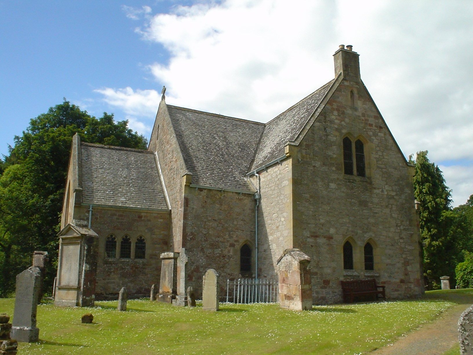
Humbie Parish Church
Humbie Parish Church is a church in the small village of Humbie, East Lothian, Scotland. It is part of the Church of Scotland, and is a linked charge which...

Fala, Midlothian
Fala is a hamlet in the south-eastern corner of Midlothian, Scotland, and about 15 miles from Edinburgh. == Location == The parish of the same name is...
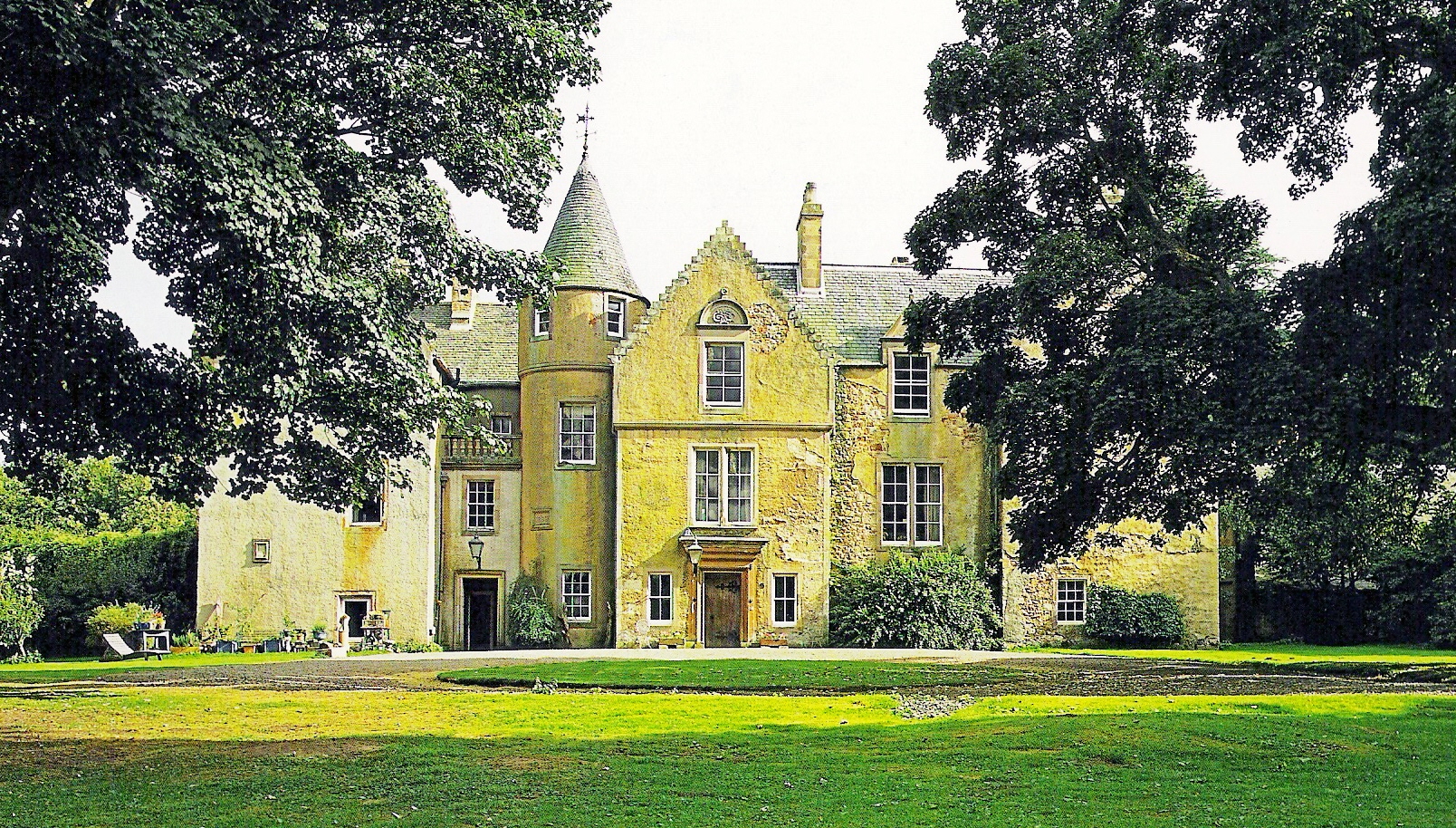
Keith Marischal
Keith Marischal is a Scottish Baronial Country house lying in the parish of Humbie, East Lothian, Scotland. The original building was an "L-shaped" Tower...

Humbie railway station
Humbie railway station served the civil parish of Humbie, East Lothian, Scotland, from 1901 to 1933 on the Macmerry Branch. == History == The station was...

Soutra Aisle
Soutra Aisle, (the present structure lies just within the boundary of the Scottish Borders from Midlothian) not far from Fala, is the remains of the House...

Peaston
Peaston is a small settlement on the B6371 road in the parish of Ormiston in East Lothian, Scotland, about 14 miles (23 km) south-east of Edinburgh, 7...

Saltoun railway station
Saltoun railway station served the villages of East Saltoun and West Saltoun in East Lothian, Scotland, from 1901 to 1933 on the Macmerry Branch. ��2...
Nearby Amenities
Located within 500m of 55.849341,-2.8671678Have you been to Scadlaw Wood?
Leave your review of Scadlaw Wood below (or comments, questions and feedback).