Bishop's Wood

Wood, Forest in Fife

Scotland

Bishop's Wood

The road to Kincaple, Strathkinness
The road to Kincaple, Strathkinness Credit: Mark Anderson

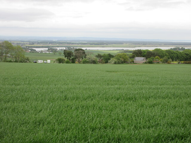
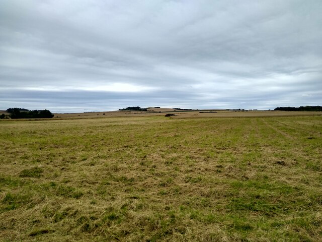
Bishop's Wood is a picturesque forest located in Fife, Scotland. Covering an area of approximately 150 hectares, it is a haven for nature enthusiasts and those seeking tranquility away from the bustling city life. The wood is situated just outside the village of Auchtermuchty, and its proximity to major towns like Falkland and Cupar makes it easily accessible to visitors.

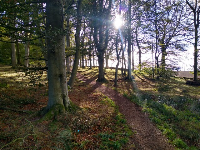
The woodland is primarily composed of mature deciduous trees, including oak, beech, and birch, which create a dense canopy overhead. These trees provide a habitat for a diverse range of wildlife, including various bird species such as woodpeckers, owls, and songbirds. The forest floor is adorned with a colorful carpet of bluebells in the spring, creating a stunning display of nature's beauty.

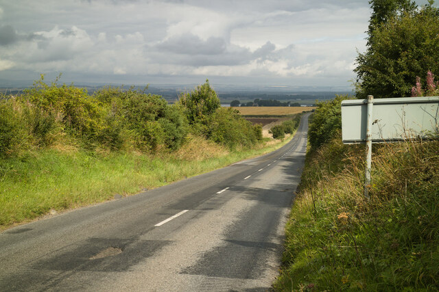
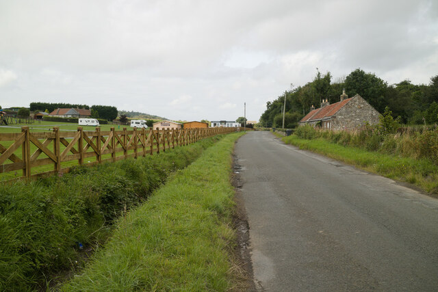
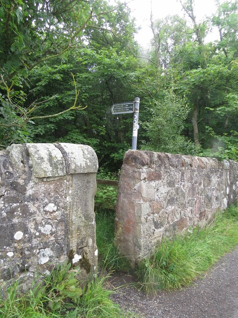
Bishop's Wood is crisscrossed with a network of well-maintained paths and trails, making it an ideal location for walking, hiking, and cycling. Visitors can explore the wood at their leisure, immersing themselves in its peaceful ambiance. The paths lead to several scenic spots, including a picturesque pond and a tranquil stream that meanders through the heart of the forest.

The wood is managed by the Woodland Trust, a leading conservation charity in the United Kingdom. Their ongoing efforts ensure the preservation and enhancement of the forest's natural beauty. In addition to its recreational value, Bishop's Wood also serves as an important educational resource, providing opportunities for schools and community groups to engage with nature and learn about woodland ecosystems.

Overall, Bishop's Wood offers a tranquil escape into nature, with its rich biodiversity, well-maintained trails, and stunning scenery. It is a place where visitors can connect with the natural world and enjoy the peace and serenity it provides.

If you have any feedback on the listing, please let us know in the comments section below.

Bishop's Wood Images

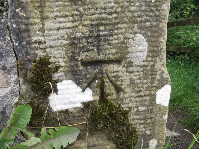
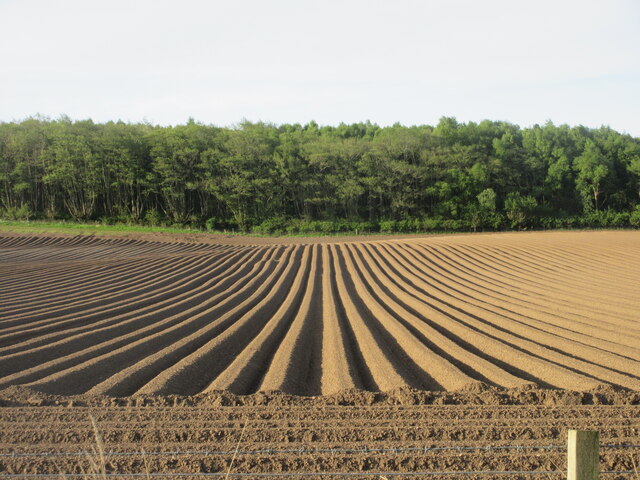
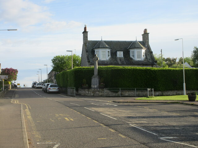
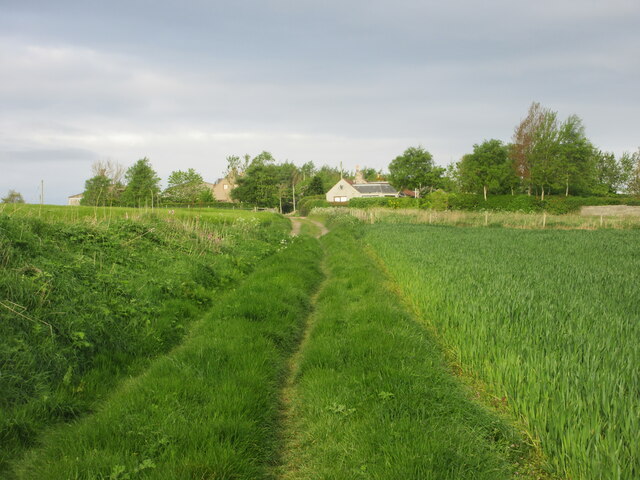
Images are sourced within 2km of 56.325045/-2.8778603 or Grid Reference NO4515. Thanks to Geograph Open Source API. All images are credited.

The road to Kincaple, Strathkinness
Nydie Caravan & Campsite
Benchmark on wall, Denhead Ordnance Survey benchmark, described on database at <span class="nowrap"><a title="https://www.bench-marks.org.uk/bm150920" rel="nofollow ugc noopener" href="https://www.bench-marks.org.uk/bm150920">Link</a><img style="margin-left:2px;" alt="External link" title="External link - shift click to open in new window" src="https://s1.geograph.org.uk/img/external.png" width="10" height="10"/></span>.
Benchmark on wall, Denhead
Ordnance Survey benchmark, described on database at LinkExternal link.
Western entrance to Craigtoun Country Park There is an Ordnance Survey benchmark visible on the left hand gatepost. See <a href="https://www.geograph.org.uk/photo/7007155">NO4714 : Benchmark on gatepost at entrance to Craigtoun Country Park</a>.
Western entrance to Craigtoun Country Park
There is an Ordnance Survey benchmark visible on the left hand gatepost. See NO4714 : Benchmark on gatepost at entrance to Craigtoun Country Park.
Benchmark on gatepost at entrance to Craigtoun Country Park Ordnance Survey benchmark, described on database at <span class="nowrap"><a title="https://www.bench-marks.org.uk/bm150922" rel="nofollow ugc noopener" href="https://www.bench-marks.org.uk/bm150922">Link</a><img style="margin-left:2px;" alt="External link" title="External link - shift click to open in new window" src="https://s1.geograph.org.uk/img/external.png" width="10" height="10"/></span>. See also <a href="https://www.geograph.org.uk/photo/7006999">NO4714 : Western entrance to Craigtoun Country Park</a>.
Benchmark on gatepost at entrance to Craigtoun Country Park
Ordnance Survey benchmark, described on database at LinkExternal link. See also NO4714 : Western entrance to Craigtoun Country Park.
Furrows south of Strathkinness Looking south over a furrowed field from the B939 south of Strathkinness.
Furrows south of Strathkinness
Looking south over a furrowed field from the B939 south of Strathkinness.
Strathkinness War Memorial The war memorial on the main street in the village of Strathkinness.
Strathkinness War Memorial
The war memorial on the main street in the village of Strathkinness.
Old track heading for Clatto Looking west along the old track between Strathkinness and Clatto.
Old track heading for Clatto
Looking west along the old track between Strathkinness and Clatto.
Looking down from Knock Hill Looking north-east down a field near Knockhill, with the Eden Estuary in the distance.
Looking down from Knock Hill
Looking north-east down a field near Knockhill, with the Eden Estuary in the distance.
Autumnal forest Loose trees at the edge of Bishop's Wood, seen on an early autumn afternoon.
Autumnal forest
Loose trees at the edge of Bishop's Wood, seen on an early autumn afternoon.
Horses in Bishop's Woods Or rather, an old and abandoned trailer for horses. This part of the woodland is used as storage for debris, container, trash, as seen in <a href="https://www.geograph.org.uk/photo/6840031">NO4615 : An area of Bishop's Wood being used for storage of demolished materials</a>. The horse trailer is only the most prominent part of this unofficial dumping site.
Horses in Bishop's Woods
Or rather, an old and abandoned trailer for horses. This part of the woodland is used as storage for debris, container, trash, as seen in NO4615 : An area of Bishop's Wood being used for storage of demolished materials. The horse trailer is only the most prominent part of this unofficial dumping site.
Nether Strathkinness This square is surprisingly difficult to Geograph, because it offers basically no parking.
Nether Strathkinness
This square is surprisingly difficult to Geograph, because it offers basically no parking.
View across the Kinness Burn Behind on the hill is Windward Farm
View across the Kinness Burn
Behind on the hill is Windward Farm
Dovecot at Denbrae Old lectern-style dovecot in a field at Denbrae Farm.
Dovecot at Denbrae
Old lectern-style dovecot in a field at Denbrae Farm.
Fourteenth green, Duke's Course Looking from short right in the rough to the 14th green at the Duke's Course.
Fourteenth green, Duke's Course
Looking from short right in the rough to the 14th green at the Duke's Course.
Knock Hill from the east Rough grassland, lots of it, which slopes gently towards the west. The 'hill', if we are allowed to call it that, is called Knock Hill.
Knock Hill from the east
Rough grassland, lots of it, which slopes gently towards the west. The 'hill', if we are allowed to call it that, is called Knock Hill.
Old Milestone by the B939, south of Strathkinness 'A' type milestone by the B939, in parish of St Andrews (Fife District), South of Strathkinness, near crossroads. An earlier photograph can be found here <a title="https://www.geograph.org.uk/photo/6102694" href="https://www.geograph.org.uk/photo/6102694">Link</a>.

Inscription reads:-
: Ceres 4¾ / Cupar 6½ / Bᵗ.Iᵈ. 27 : : Sᵗ.Andˢ. 3 :
(To Ceres, Cupar, Burntisland, St Andrews)

Metal cap 'replaced' after June 2018.

Milestone Society National ID: FF_SACE03
Old Milestone by the B939, south of Strathkinness
'A' type milestone by the B939, in parish of St Andrews (Fife District), South of Strathkinness, near crossroads. An earlier photograph can be found here Link. Inscription reads:- : Ceres 4¾ / Cupar 6½ / Bᵗ.Iᵈ. 27 : : Sᵗ.Andˢ. 3 : (To Ceres, Cupar, Burntisland, St Andrews) Metal cap 'replaced' after June 2018. Milestone Society National ID: FF_SACE03
Neatly trimmed hedge On the corner of Mount Melville Crescent.
Neatly trimmed hedge
On the corner of Mount Melville Crescent.
Show me another place!

Bishop's Wood is located at Grid Ref: NO4515 (Lat: 56.325045, Lng: -2.8778603)

Unitary Authority: Fife

Police Authority: Fife

What 3 Words

///risen.swooned.fishnet. Near St Andrews, Fife

Nearby Locations

Magus Muir Bishop's Wood

Related Wikis

Strathkinness

Strathkinness is a small village located 3 miles to the west of St Andrews in North East Fife. A key characteristic of the village is the newly developed...

Craigtoun Country Park

Craigtoun Country Park is a country park located approximately 2 miles to the south-west of St Andrews in the county of Fife, Scotland. The site is currently...

Rufflets Hotel

Rufflets Hotel is a 4 star hotel near St. Andrews, Fife, Scotland. == History == === Rufflets House 1924–1952 === Rufflets House itself was built in 1924...

Craigtoun Miniature Railway

The Craigtoun Park Railway is a 15 in (381 mm) gauge railway operating on a circular track around part of the Craigtoun Country Park in St Andrews, Fife...

Nearby Amenities

Located within 500m of 56.325045,-2.8778603
Parking
Lat/Long: 56.325801/-2.8757448
Archbishop Sharp's Memorial
Historic: memorial
Memorial: sculpture
Lat/Long: 56.3256333/-2.880954
Covenanters' Grave
Historic: memorial
Lat/Long: 56.3252771/-2.882146
Strathkinness Crossroads
Junction: yes
Lat/Long: 56.3290711/-2.875994
Power: pole
Lat/Long: 56.323873/-2.8847586
Power: pole
Lat/Long: 56.3239809/-2.8835083
Power: pole
Lat/Long: 56.3247465/-2.8836801
Power: pole
Lat/Long: 56.3254582/-2.8838416
Power: pole
Lat/Long: 56.325923/-2.8829204
Power: pole
Lat/Long: 56.3264636/-2.8818171
Material: wood
Power: pole
Lat/Long: 56.3265738/-2.880662
Material: wood
Power: pole
Lat/Long: 56.3266891/-2.8794562
Power: pole
Lat/Long: 56.3268165/-2.8781686
Power: pole
Lat/Long: 56.3269302/-2.8769452
Power: pole
Lat/Long: 56.3270185/-2.8760448
Power: pole
Lat/Long: 56.3270822/-2.8818605
Material: wood
Power: pole
Lat/Long: 56.3276986/-2.8819143
Material: wood
Power: pole
Lat/Long: 56.3283195/-2.8819309
Material: wood
Power: pole
Lat/Long: 56.328549/-2.882051
Power: pole
Lat/Long: 56.3206504/-2.8786654
Power: pole
Lat/Long: 56.3208685/-2.8774586
Power: pole
Lat/Long: 56.3210671/-2.8763863
Power: pole
Lat/Long: 56.321245/-2.8753948
Power: pole
Lat/Long: 56.3209626/-2.8749849
Power: pole
Lat/Long: 56.3216295/-2.8750077
Marker: pipeline
Operator: Scotland Gas Networks
Utility: gas
Lat/Long: 56.3287965/-2.8786845
Marker: pipeline
Operator: Scotland Gas Networks
Utility: gas
Lat/Long: 56.3287132/-2.8785757
Marker: pipeline
Operator: Scotland Gas Networks
Source: survey
Utility: gas
Lat/Long: 56.3287399/-2.8760487
Marker: pipeline
Operator: Scotland Gas Networks
Source: survey
Utility: gas
Lat/Long: 56.3287913/-2.8758849
Give Way
Direction: forward
Lat/Long: 56.3291035/-2.8759671
Give Way
Direction: backward
Lat/Long: 56.3290348/-2.8760175
The data included in this document is from www.openstreetmap.org. The data is made available under ODbL.

Have you been to Bishop's Wood?

Leave your review of Bishop's Wood below (or comments, questions and feedback).