Horseshoe Wood

Wood, Forest in Fife

Scotland

Horseshoe Wood

North end of a shelterbelt In a field near Drumbarnie.
North end of a shelterbelt Credit: James Allan

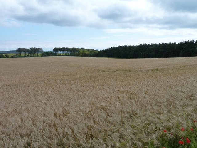
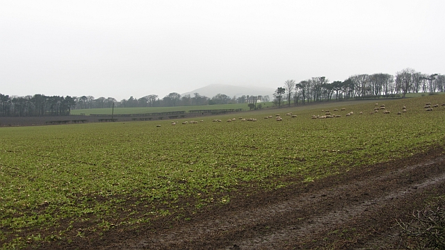
Horseshoe Wood is a picturesque forest located in the region of Fife, Scotland. Spanning an area of approximately 100 acres, this woodland boasts a rich and diverse ecosystem, making it a popular destination for nature enthusiasts and hikers alike.

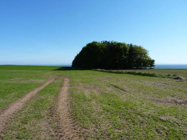
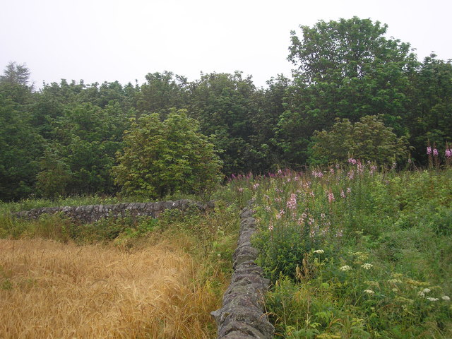
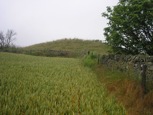
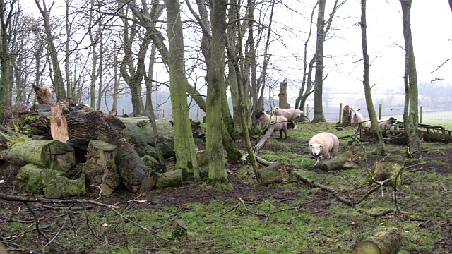
The forest derives its name from its distinctive shape, resembling that of a horseshoe when viewed from above. The wood is primarily composed of native tree species, including oak, birch, and rowan, which create a stunning display of vibrant colors during the autumn season. Additionally, a variety of plant species can be found within the forest, such as bluebells, wild garlic, and foxgloves, adding to its natural beauty.

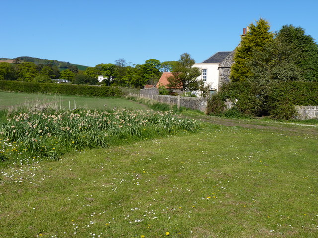
Horseshoe Wood is not only visually appealing but also serves as a habitat for numerous wildlife species. Visitors may catch glimpses of red squirrels, badgers, and a variety of bird species, including woodpeckers and owls. The forest's diverse environment also supports a range of insect life, including butterflies and beetles.

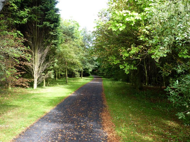
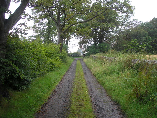
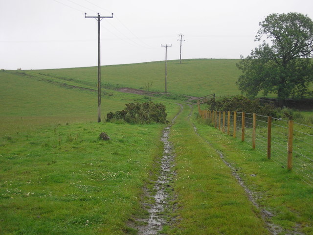
The woodland features a network of well-maintained walking trails, allowing visitors to explore its beauty at their own pace. These paths provide opportunities for leisurely strolls or more challenging hikes, catering to individuals of all fitness levels. Along the way, walkers can enjoy the tranquil atmosphere and immerse themselves in the natural surroundings.

Horseshoe Wood is a true gem of Fife, offering a peaceful and rejuvenating experience for those seeking solace in nature. Whether it is a leisurely stroll, a bird-watching expedition, or a family picnic, this enchanting forest has something to offer for everyone.

If you have any feedback on the listing, please let us know in the comments section below.

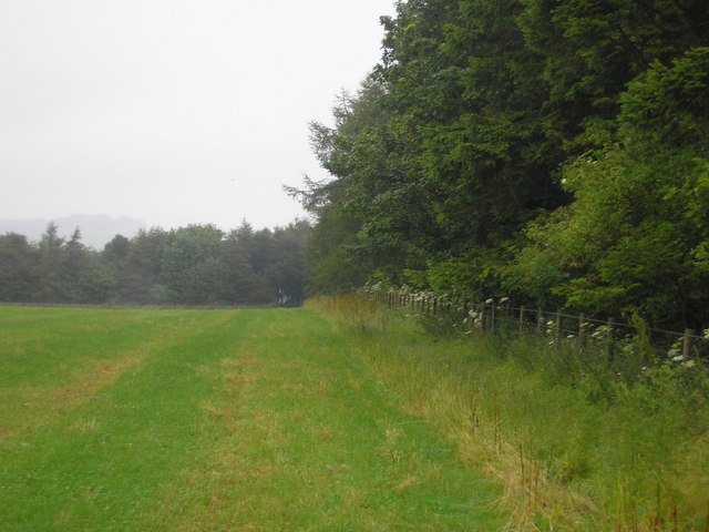
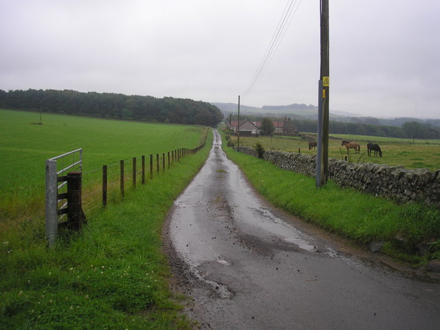
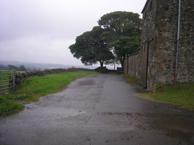
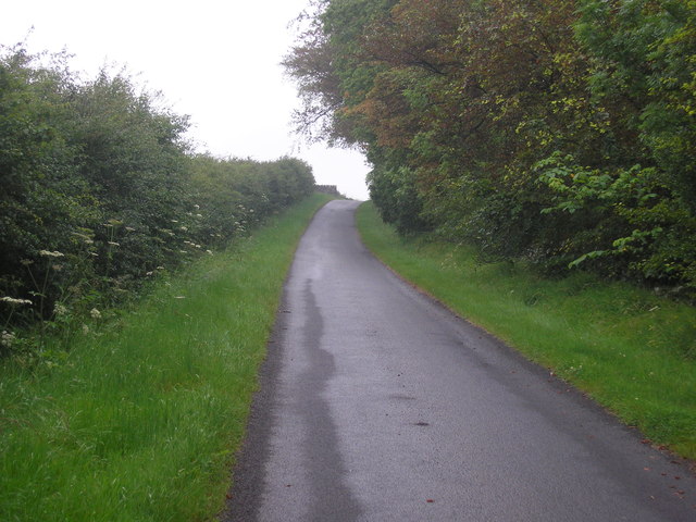
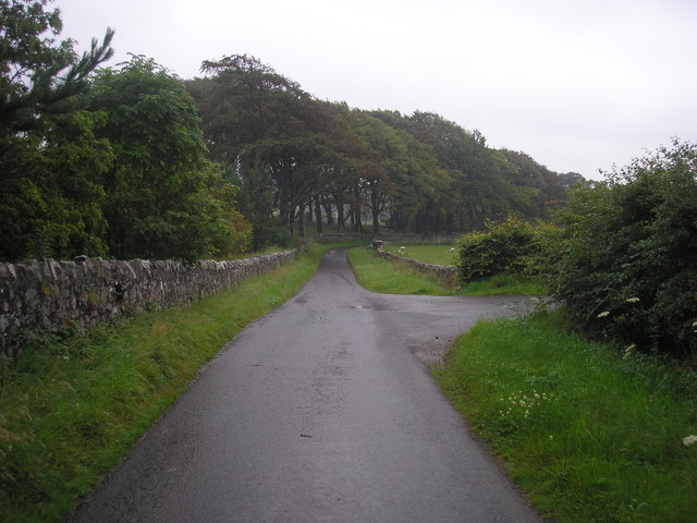
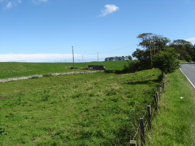
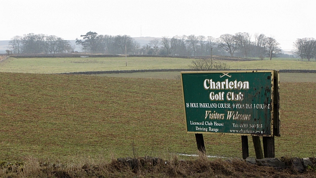
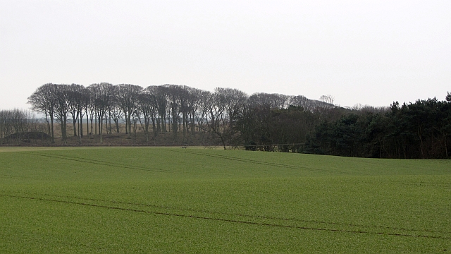
Horseshoe Wood Images

Images are sourced within 2km of 56.227916/-2.8835408 or Grid Reference NO4504. Thanks to Geograph Open Source API. All images are credited.

North end of a shelterbelt In a field near Drumbarnie.
North end of a shelterbelt
In a field near Drumbarnie.
Houses in a hamlet Houses near open ground in Drumeldrie.
Houses in a hamlet
Houses near open ground in Drumeldrie.
Growing whisky This fine crop of barley near Balchrystie will probably end up being malted and used for the production of whisky.
Growing whisky
This fine crop of barley near Balchrystie will probably end up being malted and used for the production of whisky.
Balchrystie drive Entrance drive to Balchrystie House.
Balchrystie drive
Entrance drive to Balchrystie House.
Estate track
Estate track
Farm track leading to Flagstaff Hill
Corner of a field The view of the wall to the north of the highest point on Flagstaff Hill.
Corner of a field
The view of the wall to the north of the highest point on Flagstaff Hill.
The highest point on Flagstaff Hill The view from the field to the south of the highest point of Flagstaff Hill.
The highest point on Flagstaff Hill
The view from the field to the south of the highest point of Flagstaff Hill.
Field bordered by Transvaal Wood The view of the southern edge of a field bounded on three sides by woodland.  The wood on the southern side is named Transvaal Wood.
Field bordered by Transvaal Wood
The view of the southern edge of a field bounded on three sides by woodland. The wood on the southern side is named Transvaal Wood.
The road from Rires The view of the road that leads to Rires Farm
The road from Rires
The view of the road that leads to Rires Farm
Rires Farm
Rires Farm
Private road in Balcarres Estate
Road junction The view of a junction on the private road through the Balcarres Estate.  The road on the right leads to Rires.
Road junction
The view of a junction on the private road through the Balcarres Estate. The road on the right leads to Rires.
Grazing land near  Balchrystie South-west of Colinsbuth in Fife.
Grazing land near Balchrystie
South-west of Colinsbuth in Fife.
Charleton Golf Club sign Sign at the turn off for Charleton with the usual East Neuk arable backdrop.
Charleton Golf Club sign
Sign at the turn off for Charleton with the usual East Neuk arable backdrop.
East Neuk arable Winter cereals near Colinsburgh. Siberia <a href="https://www.geograph.org.uk/photo/1909427">NO4502 : Siberia - probably beyond restoration?</a> lurks beyond the strip wood.
East Neuk arable
Winter cereals near Colinsburgh. Siberia NO4502 : Siberia - probably beyond restoration? lurks beyond the strip wood.
Sheep, Coates Sheep in drizzle, on winter fodder.
Sheep, Coates
Sheep in drizzle, on winter fodder.
Wood, Coates A small woodland with stored timber and lurking sheep.
Wood, Coates
A small woodland with stored timber and lurking sheep.
Show me another place!

Horseshoe Wood is located at Grid Ref: NO4504 (Lat: 56.227916, Lng: -2.8835408)

Unitary Authority: Fife

Police Authority: Fife

What 3 Words

///airports.clustered.nails. Near Lundin Links, Fife

Related Wikis

Charleton House

Charleton House is located in the East Neuk of Fife, eastern Scotland. It lies around 1.5 kilometres (0.93 mi) west of Colinsburgh, and 5 kilometres (3...

Newburn, Fife

Newburn is a civil parish in the County of Fife in Scotland. It is located on the north coast of the Firth of Forth and bounded by the parishes of Kilconquhar...

Drumeldrie

Drumeldrie is a hamlet in the East Neuk area of Fife, Scotland. It is to the east of Upper Largo and is on the A917 road. It is around a 15-minute walk...

Balcarres House

Balcarres House lies 1km north of the village of Colinsburgh, in the East Neuk of Fife, in eastern Scotland. It is centred on a mansion built in 1595...

Nearby Amenities

Located within 500m of 56.227916,-2.8835408
Man Made: tower
Tower Type: communication
Lat/Long: 56.2318007/-2.8853479
Man Made: tower
Tower Type: communication
Lat/Long: 56.2319577/-2.885041
Man Made: tower
Tower Type: communication
Lat/Long: 56.2320007/-2.8851487
Flagstaff Hill
Ele: 214
Natural: peak
Lat/Long: 56.2315691/-2.8848181
Power: pole
Lat/Long: 56.2298932/-2.8904682
Power: pole
Lat/Long: 56.2268053/-2.888492
Power: pole
Lat/Long: 56.2274806/-2.8889322
Power: pole
Lat/Long: 56.2282775/-2.8894459
Power: pole
Lat/Long: 56.2291965/-2.890039
Power: pole
Lat/Long: 56.2261499/-2.8880652
Power: pole
Lat/Long: 56.2254673/-2.8876383
Power: pole
Lat/Long: 56.2248187/-2.8872155
The data included in this document is from www.openstreetmap.org. The data is made available under ODbL.

Have you been to Horseshoe Wood?

Leave your review of Horseshoe Wood below (or comments, questions and feedback).