Craigielaw Strip
Wood, Forest in East Lothian
Scotland
Craigielaw Strip
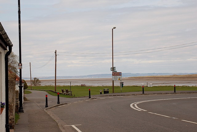
Craigielaw Strip is a wood located in the East Lothian region of Scotland. Situated near the town of Aberlady, this forested area covers a vast expanse of land, spanning approximately 100 hectares. The strip is bordered by the picturesque Aberlady Bay to the north and the charming village of Gullane to the south.
This woodland is known for its diverse range of tree species, creating a rich and vibrant ecosystem. The dominant tree species within the strip include oak, birch, and pine, which provide a lush canopy and shelter for a variety of wildlife. Bird enthusiasts will be delighted to discover that the wood is home to various species, including the majestic buzzard, the elusive woodpecker, and the colorful goldfinch.
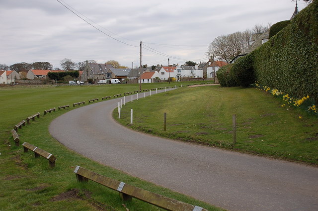
Craigielaw Strip is not only a haven for nature lovers but also offers recreational activities for visitors. The forest features a network of well-maintained paths, allowing individuals to explore the wood's beauty at their own pace. These paths are suitable for walking, jogging, and cycling, making it an ideal destination for outdoor enthusiasts of all ages.
Throughout the year, the wood provides breathtaking views and stunning scenery. In the spring, the forest floor is adorned with a carpet of bluebells, creating a magical atmosphere. In autumn, the changing colors of the leaves paint a picturesque landscape, attracting photographers and artists alike.
Whether you seek solace in nature, enjoy outdoor activities, or simply appreciate the beauty of the Scottish landscape, a visit to Craigielaw Strip is sure to be a memorable experience.
If you have any feedback on the listing, please let us know in the comments section below.
Craigielaw Strip Images
Images are sourced within 2km of 56.004313/-2.8790554 or Grid Reference NT4579. Thanks to Geograph Open Source API. All images are credited.
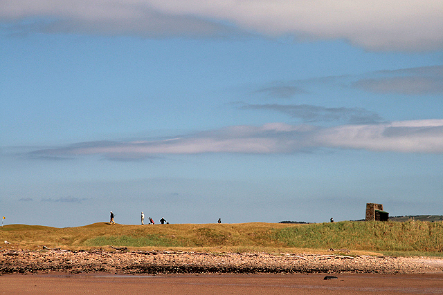
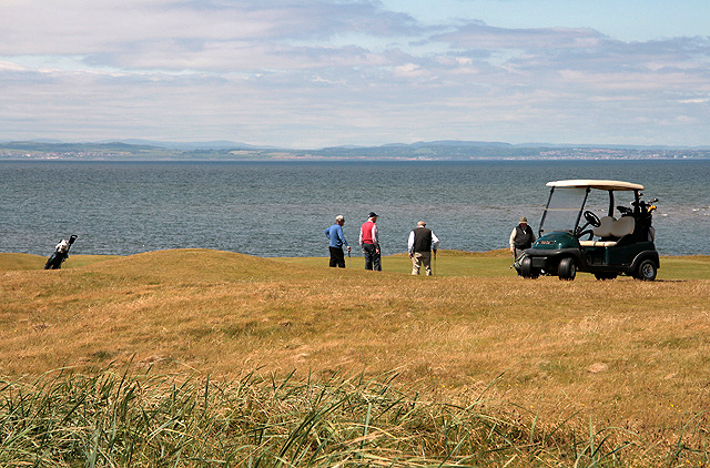
![Foreshore at Kilspindie Looking to Aberlady Bay [tide in] from the edge of Kilspindie Golf Course.](https://s2.geograph.org.uk/geophotos/02/59/68/2596854_0411c1be.jpg)
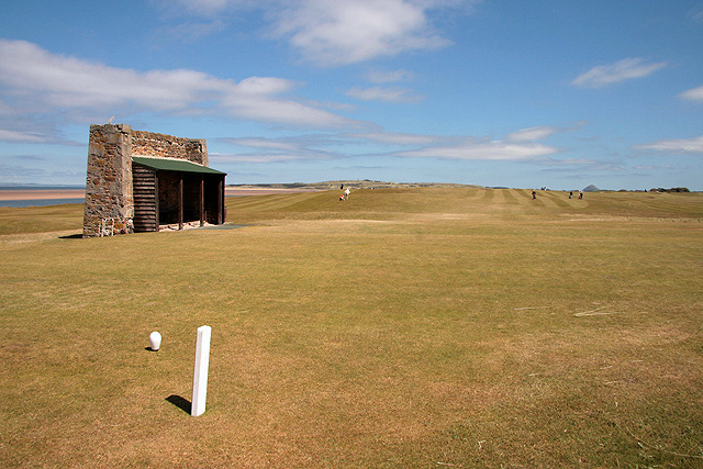
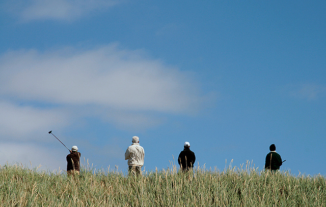
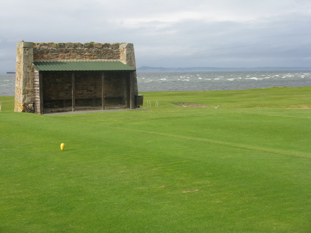
![Action on the 4th tee On a wild and windy day - balls going everywhere. Looking west from Kilspindie towards Cockenzie Power Station [left] and Arthur&#039;s Seat [right].](https://s1.geograph.org.uk/geophotos/02/59/68/2596861_06417aae.jpg)
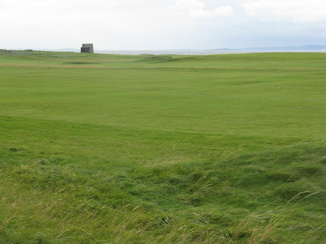
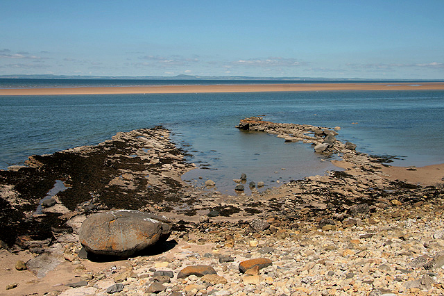
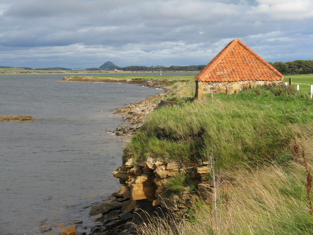
![Aberlady Bay from Kilspindie Looking east towards North Berwick Law [11km away].](https://s3.geograph.org.uk/geophotos/02/59/68/2596879_4918f7a9.jpg)
Craigielaw Strip is located at Grid Ref: NT4579 (Lat: 56.004313, Lng: -2.8790554)
Unitary Authority: East Lothian
Police Authority: The Lothians and Scottish Borders
What 3 Words
///pump.barbarian.verges. Near Aberlady, East Lothian
Nearby Locations
Related Wikis

Gosford House
Gosford House is a neoclassical country house around 2 miles (3 km) northeast of Longniddry in East Lothian, Scotland, on the A198 Aberlady Road, in 5...

Kilspindie Castle
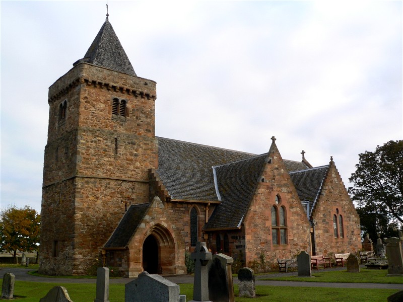
Kilspindie Castle lies north of the village of Aberlady, in East Lothian, Scotland; the remains of the castle are behind the Victorian St Mary's Kirk....
Aberlady
Aberlady (Scots: Aiberleddy, Gaelic: Obar Lobhaite) is a coastal village in the Scottish council area of East Lothian. The village had an estimated population...

Aberlady Bay
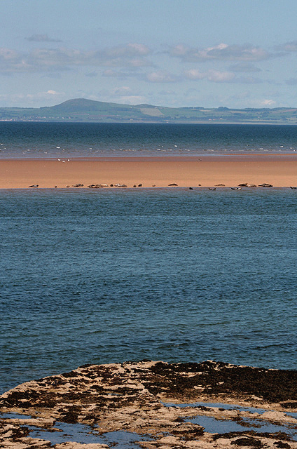
Aberlady Bay in East Lothian, Scotland lies between Aberlady and Gullane. In 1952, Aberlady Bay became the UK's first Local Nature Reserve (LNR) and is...
Nearby Amenities
Located within 500m of 56.004313,-2.8790554Have you been to Craigielaw Strip?
Leave your review of Craigielaw Strip below (or comments, questions and feedback).