Flagstaff Hill

Hill, Mountain in Fife

Scotland

Flagstaff Hill

North end of a shelterbelt In a field near Drumbarnie.
North end of a shelterbelt Credit: James Allan

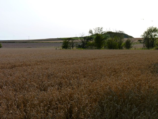
Flagstaff Hill is a prominent hill located in the region of Fife, in eastern Scotland. It is situated near the town of Dunfermline and stands at an elevation of approximately 180 meters (590 feet) above sea level. This hill is known for its distinctive flagpole that is perched at its summit, giving it its name.

Flagstaff Hill offers breathtaking panoramic views of the surrounding landscape, including the Firth of Forth and the beautiful countryside of Fife. On a clear day, visitors can enjoy vistas that stretch as far as the Ochil Hills and the Pentland Hills.

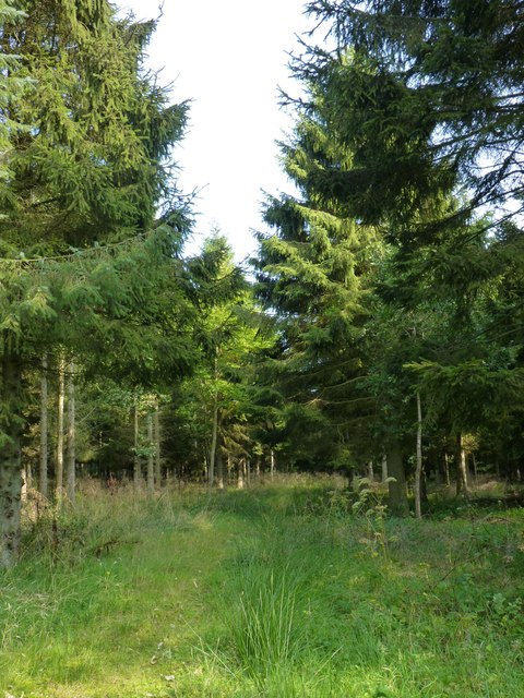
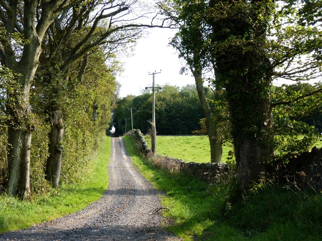
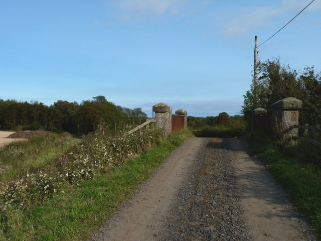
The hill itself is easily accessible, with a well-maintained footpath leading to the top. Hikers and nature enthusiasts frequent the hill to enjoy its natural beauty and the tranquility it offers. The area is abundant in wildlife and is home to various species of birds, making it a popular spot for birdwatching.

In addition to its natural attractions, Flagstaff Hill also holds historical significance. It is believed to have been used as a signaling point during the Napoleonic Wars, where flags were hoisted to relay messages between military posts. This historical aspect adds to the charm and intrigue of the hill.

Overall, Flagstaff Hill in Fife is a picturesque and historically significant location that offers visitors the opportunity to enjoy stunning views, engage in outdoor activities, and immerse themselves in the natural beauty and history of the region.

If you have any feedback on the listing, please let us know in the comments section below.

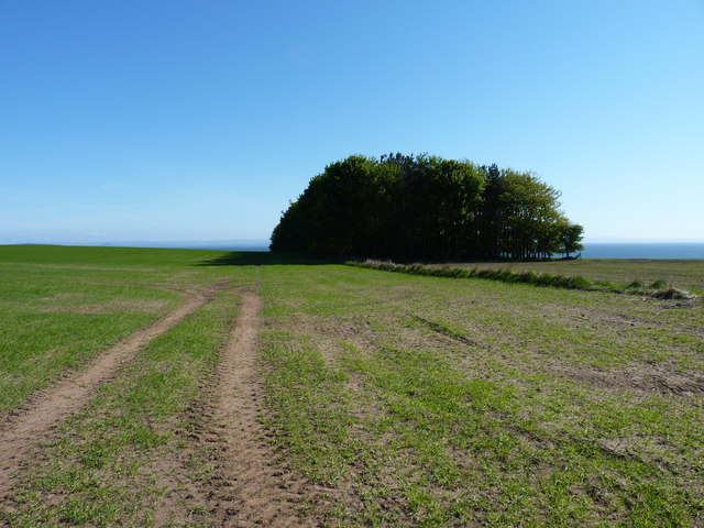
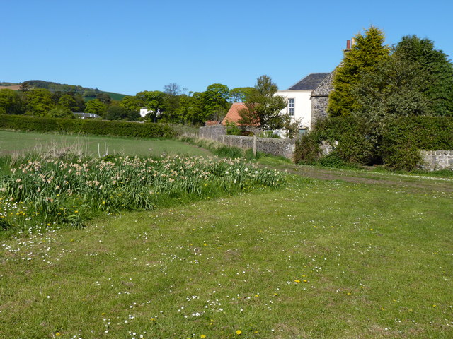
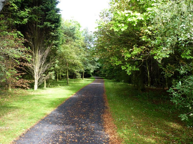
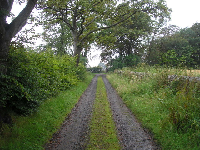
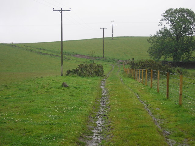
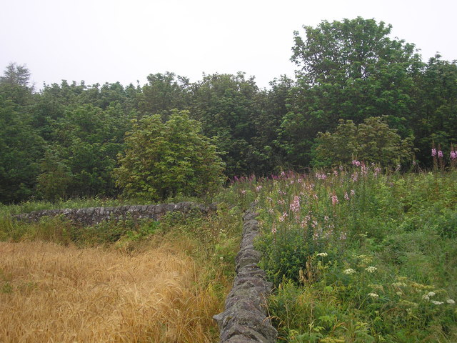
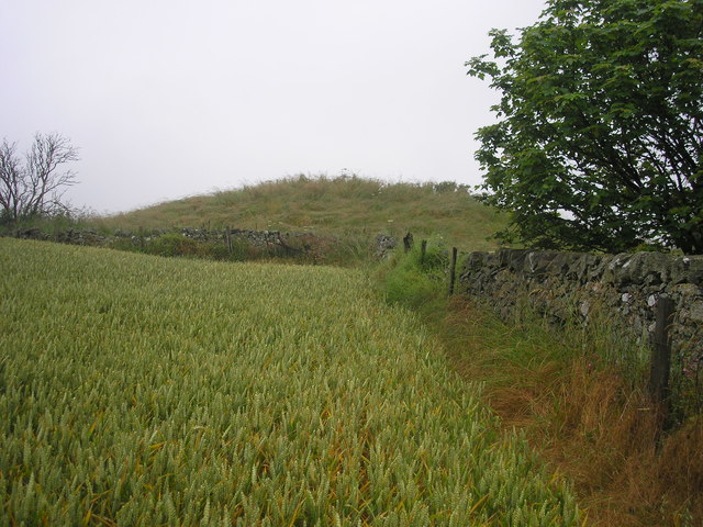
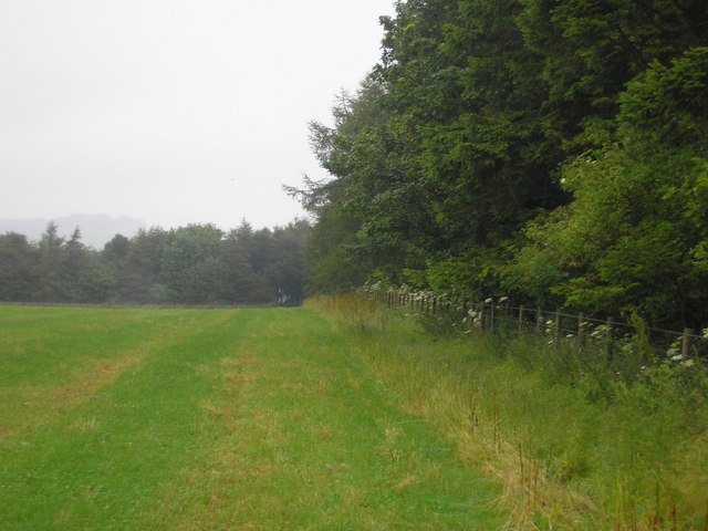
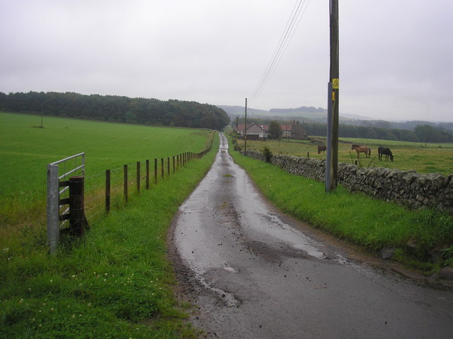
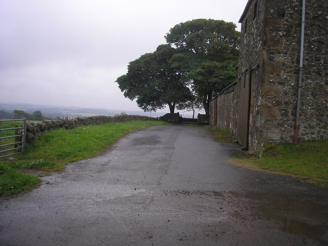
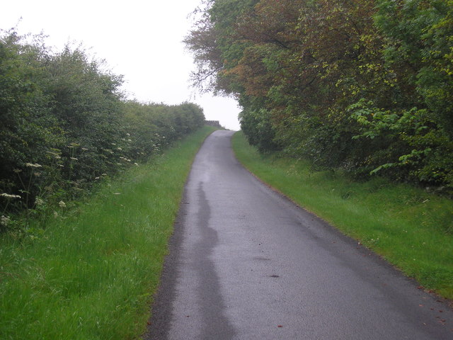
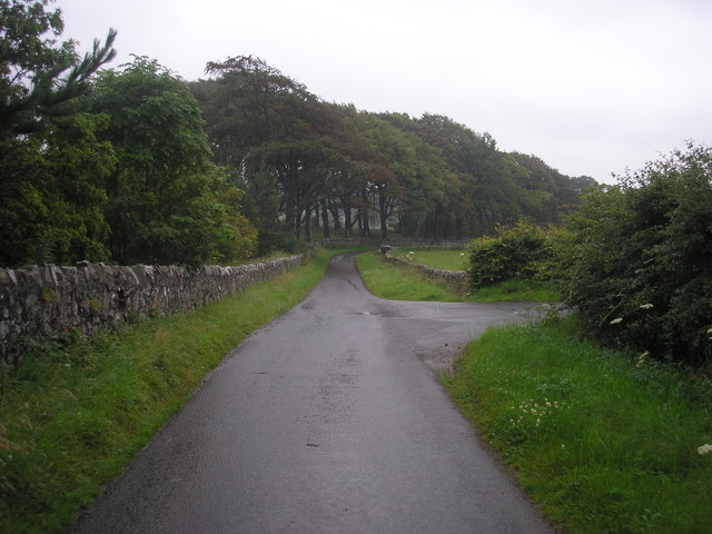
Flagstaff Hill Images

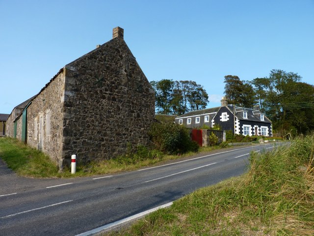
Images are sourced within 2km of 56.231755/-2.8856133 or Grid Reference NO4504. Thanks to Geograph Open Source API. All images are credited.

North end of a shelterbelt In a field near Drumbarnie.
North end of a shelterbelt
In a field near Drumbarnie.
Houses in a hamlet Houses near open ground in Drumeldrie.
Houses in a hamlet
Houses near open ground in Drumeldrie.
Balchrystie drive Entrance drive to Balchrystie House.
Balchrystie drive
Entrance drive to Balchrystie House.
Estate track
Estate track
Farm track leading to Flagstaff Hill
Corner of a field The view of the wall to the north of the highest point on Flagstaff Hill.
Corner of a field
The view of the wall to the north of the highest point on Flagstaff Hill.
The highest point on Flagstaff Hill The view from the field to the south of the highest point of Flagstaff Hill.
The highest point on Flagstaff Hill
The view from the field to the south of the highest point of Flagstaff Hill.
Field bordered by Transvaal Wood The view of the southern edge of a field bounded on three sides by woodland.  The wood on the southern side is named Transvaal Wood.
Field bordered by Transvaal Wood
The view of the southern edge of a field bounded on three sides by woodland. The wood on the southern side is named Transvaal Wood.
The road from Rires The view of the road that leads to Rires Farm
The road from Rires
The view of the road that leads to Rires Farm
Rires Farm
Rires Farm
Private road in Balcarres Estate
Road junction The view of a junction on the private road through the Balcarres Estate.  The road on the right leads to Rires.
Road junction
The view of a junction on the private road through the Balcarres Estate. The road on the right leads to Rires.
Woodland path Through the conifer plantation north of Lathallan Mill.
Woodland path
Through the conifer plantation north of Lathallan Mill.
Road to Lathallan Leading to Lathallan Home Farm.
Road to Lathallan
Leading to Lathallan Home Farm.
Bridge over nothing The old bridge on this farm road spans a long-vanished railway line.
Bridge over nothing
The old bridge on this farm road spans a long-vanished railway line.
Cairn Farm Farm buildings near Gilston House.
Cairn Farm
Farm buildings near Gilston House.
Wester Lathallan Substantial stone buildings, farm and residential.
Wester Lathallan
Substantial stone buildings, farm and residential.
Ready for harvest A field of wheat, with the slopes of Largo Law in the background.
Ready for harvest
A field of wheat, with the slopes of Largo Law in the background.
Show me another place!

Flagstaff Hill is located at Grid Ref: NO4504 (Lat: 56.231755, Lng: -2.8856133)

Unitary Authority: Fife

Police Authority: Fife

What 3 Words

///patching.household.dustbin. Near Lundin Links, Fife

Related Wikis

Charleton House

Charleton House is located in the East Neuk of Fife, eastern Scotland. It lies around 1.5 kilometres (0.93 mi) west of Colinsburgh, and 5 kilometres (3...

Newburn, Fife

Newburn is a civil parish in the County of Fife in Scotland. It is located on the north coast of the Firth of Forth and bounded by the parishes of Kilconquhar...

Drumeldrie

Drumeldrie is a hamlet in the East Neuk area of Fife, Scotland. It is to the east of Upper Largo and is on the A917 road. It is around a 15-minute walk...

Balcarres House

Balcarres House lies 1km north of the village of Colinsburgh, in the East Neuk of Fife, in eastern Scotland. It is centred on a mansion built in 1595...

Nearby Amenities

Located within 500m of 56.231755,-2.8856133
Man Made: tower
Tower Type: communication
Lat/Long: 56.2318007/-2.8853479
Man Made: tower
Tower Type: communication
Lat/Long: 56.2319577/-2.885041
Man Made: tower
Tower Type: communication
Lat/Long: 56.2320007/-2.8851487
Flagstaff Hill
Ele: 214
Natural: peak
Lat/Long: 56.2315691/-2.8848181
Power: pole
Lat/Long: 56.229583/-2.8918773
Power: pole
Lat/Long: 56.2298932/-2.8904682
Power: pole
Lat/Long: 56.2310106/-2.8911845
Power: pole
Lat/Long: 56.231809/-2.8908622
Power: pole
Lat/Long: 56.2325736/-2.8905271
Power: pole
Lat/Long: 56.2333791/-2.8902076
Power: pole
Lat/Long: 56.2340706/-2.8896828
Power: pole
Lat/Long: 56.234752/-2.8892352
Power: pole
Lat/Long: 56.2353938/-2.8887713
Power: pole
Lat/Long: 56.2316049/-2.8932215
Power: pole
Lat/Long: 56.2332757/-2.8889927
Power: pole
Lat/Long: 56.2330944/-2.8875683
Power: pole
Lat/Long: 56.2328996/-2.8861093
Power: pole
Lat/Long: 56.2323353/-2.8853799
Power: pole
Lat/Long: 56.2349921/-2.8905084
Power: pole
Lat/Long: 56.2304519/-2.8908264
Power: pole
Lat/Long: 56.2282775/-2.8894459
Power: pole
Lat/Long: 56.2291965/-2.890039
Flagstaff Hill barrow, Scheduled Monument 13770
Access: permissive
Archaeological Site: tumulus
Historic: archaeological_site
Historic Civilization: bronze-age
Source: http://canmore.org.uk/site/374001
Lat/Long: 56.2338703/-2.8837319
The data included in this document is from www.openstreetmap.org. The data is made available under ODbL.

Have you been to Flagstaff Hill?

Leave your review of Flagstaff Hill below (or comments, questions and feedback).