Bush Hill
Hill, Mountain in Roxburghshire
Scotland
Bush Hill
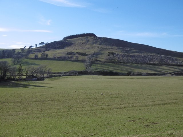
Bush Hill is a prominent hill located in the picturesque county of Roxburghshire, Scotland. Situated in the southern part of the country, this natural landmark stands at an elevation of approximately 347 meters (1,138 feet) above sea level. It is part of the wider Cheviot Hills range, which extends across the border into England.
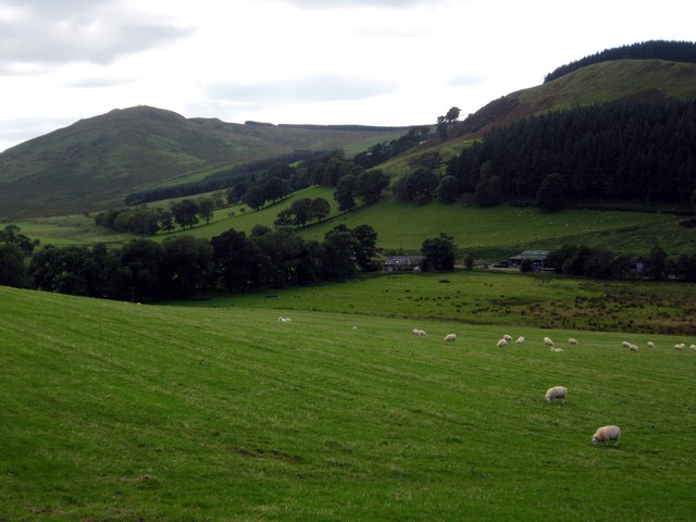
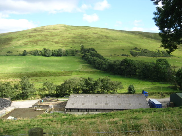
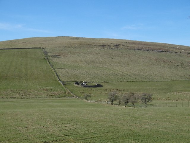
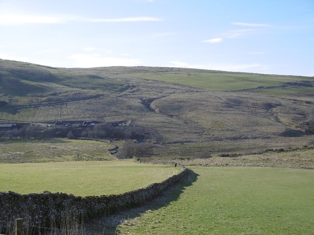
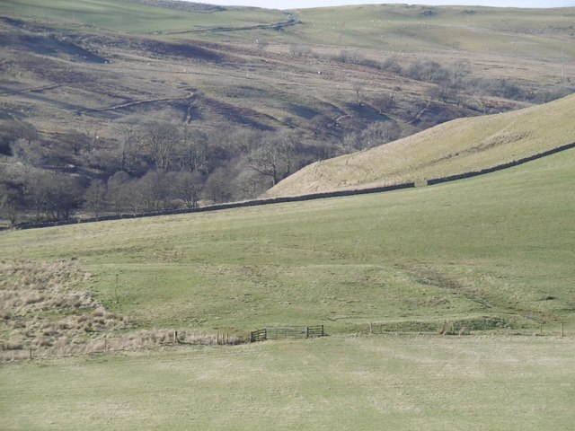
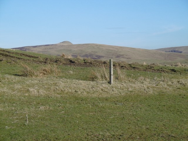
Known for its distinctive conical shape, Bush Hill offers breathtaking panoramic views of the surrounding countryside. The hill is covered in lush green vegetation, which transforms into a striking tapestry of colors during the autumn months. Its slopes are dotted with heather, bracken, and native grasses, creating a rich and diverse habitat for wildlife.
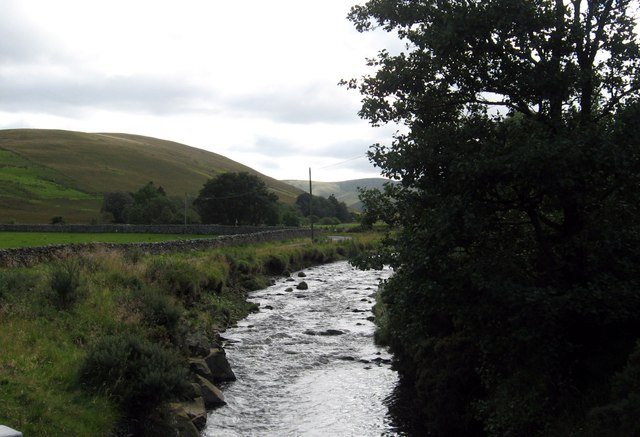
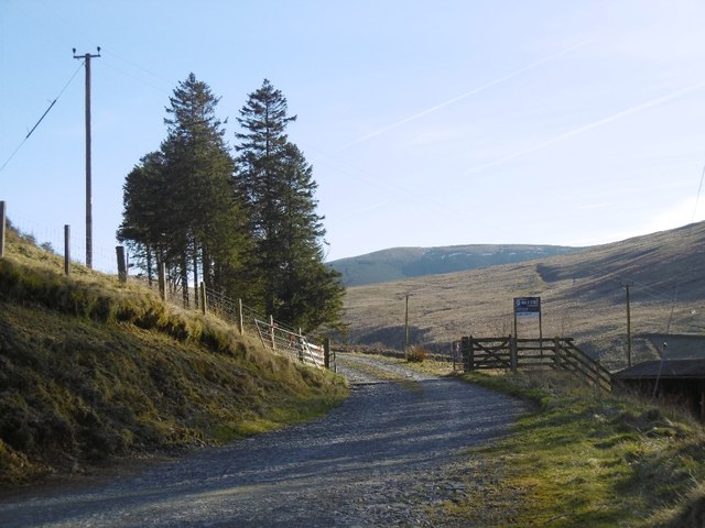
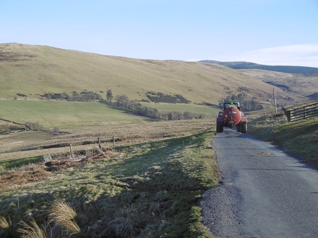
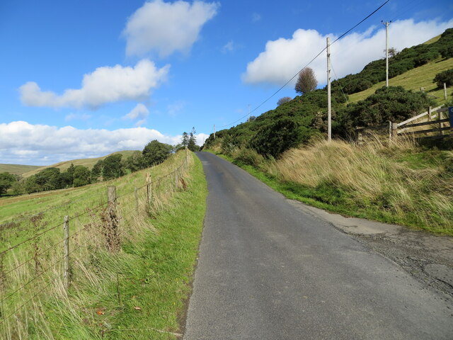
The summit of Bush Hill can be reached via various walking trails that wind through the rolling countryside. These paths are well-maintained, offering visitors a chance to explore the hill's natural beauty at their own pace. On a clear day, the view from the top is truly magnificent, with sights stretching as far as the eye can see, encompassing the River Teviot, nearby valleys, and the Cheviot Hills range.
Bush Hill also holds historical significance, as it is said to have been a site of ancient settlements and fortifications. The remains of Iron Age hillforts can still be found on its slopes, providing a glimpse into the area's rich past.
With its stunning vistas and cultural heritage, Bush Hill in Roxburghshire is a must-visit destination for outdoor enthusiasts, nature lovers, and history buffs alike.
If you have any feedback on the listing, please let us know in the comments section below.
Bush Hill Images
Images are sourced within 2km of 55.342813/-2.8655723 or Grid Reference NT4505. Thanks to Geograph Open Source API. All images are credited.


Bush Hill is located at Grid Ref: NT4505 (Lat: 55.342813, Lng: -2.8655723)
Unitary Authority: The Scottish Borders
Police Authority: The Lothians and Scottish Borders
What 3 Words
///slyly.warned.bothered. Near Teviothead, Scottish Borders
Nearby Locations
Related Wikis

Broadhaugh
Broadhaugh is a hamlet in the Scottish Borders area of Scotland, in the parish of Teviothead, in former Roxburghshire. == See also == List of places in...

Teviothead
Teviothead (Scottish Gaelic: Ceann Tìbhiot) is a small village and civil parish in Teviotdale in the Scottish Borders, known locally as Teviotheid. It...

Newmill-on-Teviot
Newmill-on-Teviot, commonly called Newmill, is a hamlet in the Scottish Borders, 7 kilometres (4.3 mi) south of Hawick on the River Teviot. The remains...

Cauldcleuch Head
Cauldcleuch Head is a hill in an unnamed range of Roxburghshire hills north of Langholm, part of the Southern Uplands of Scotland. The highest hill in...
Nearby Amenities
Located within 500m of 55.342813,-2.8655723Have you been to Bush Hill?
Leave your review of Bush Hill below (or comments, questions and feedback).