West Strip

Wood, Forest in Fife

Scotland

West Strip

Houses in a hamlet Houses near open ground in Drumeldrie.
Houses in a hamlet Credit: James Allan

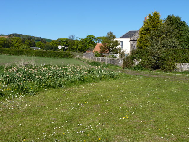
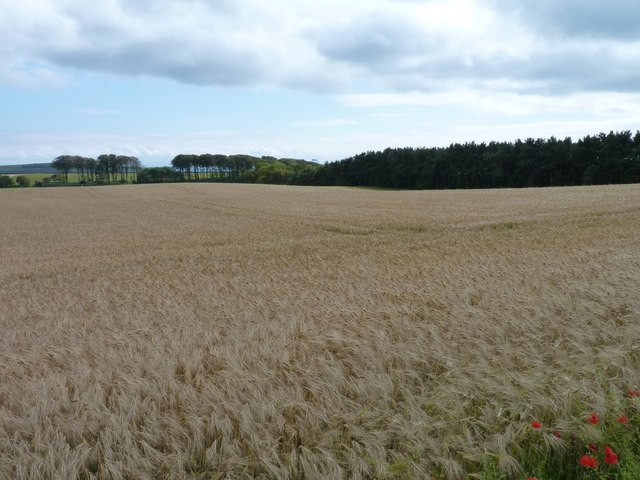
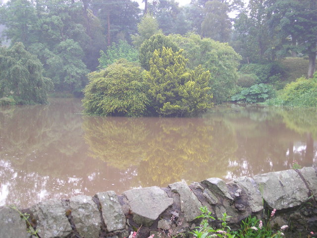
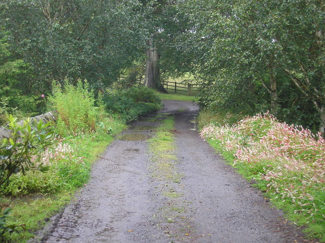
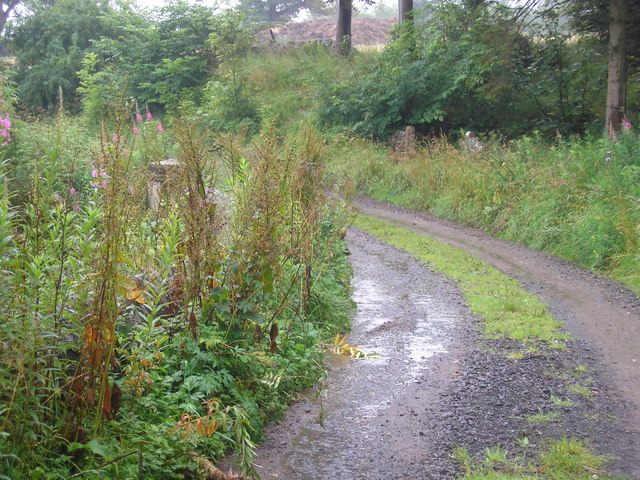
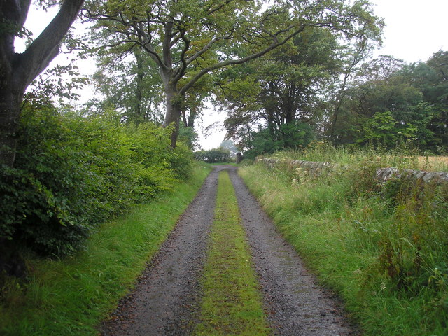
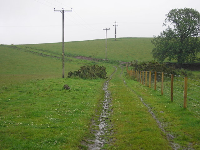
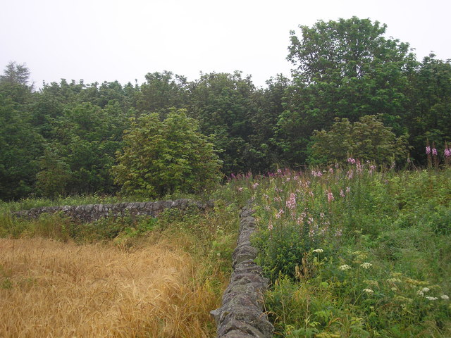
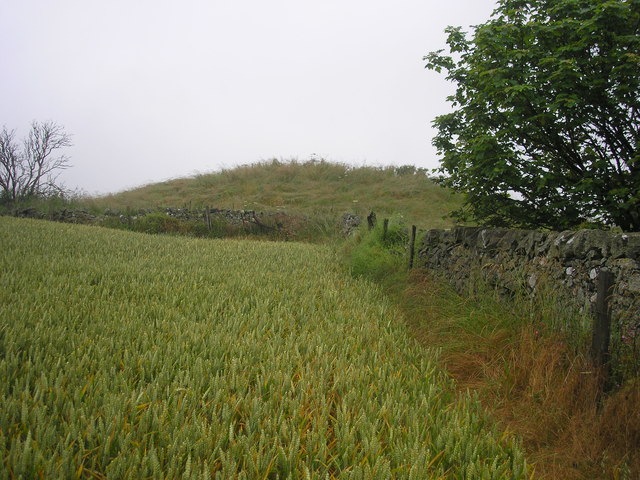
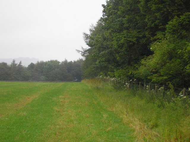
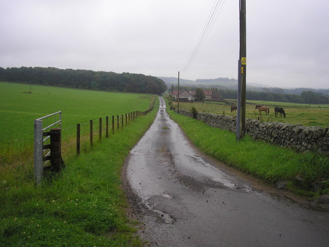
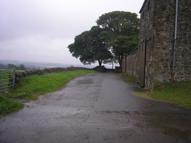
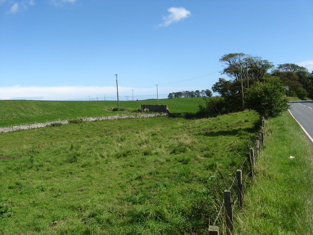
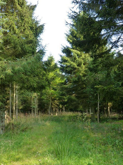
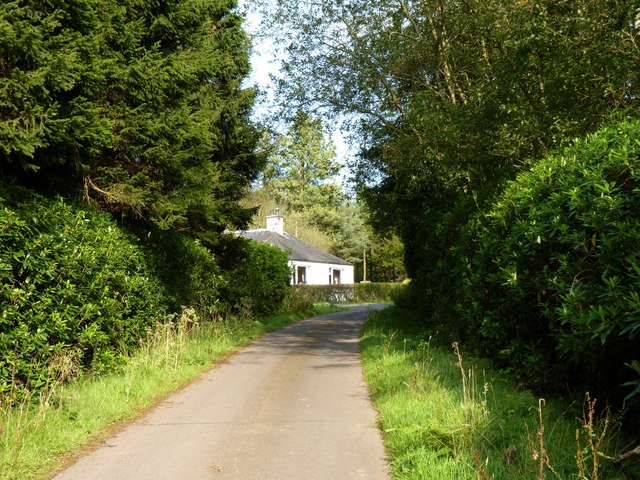
West Strip is a small area located in Fife, Scotland, known for its beautiful woodlands and forests. It is situated in the western part of the county, bordered by the North Sea to the east. The region is characterized by its lush greenery, with dense woodlands covering a significant portion of the area.

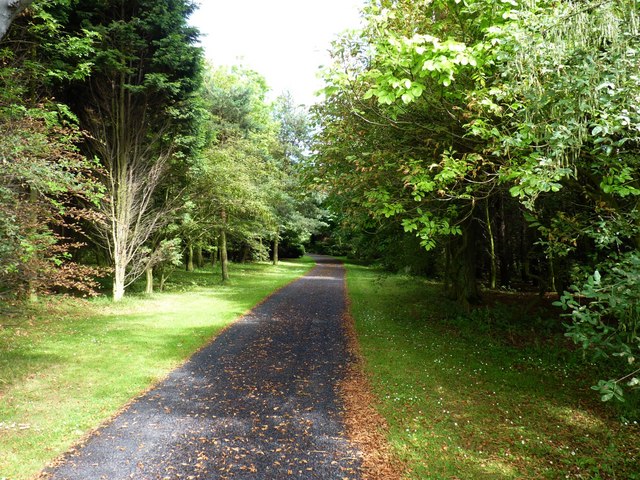
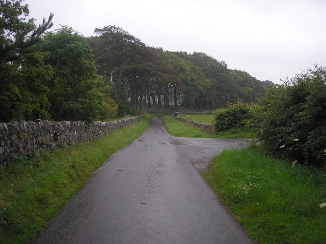
The woodlands of West Strip are predominantly composed of native tree species such as oak, birch, and pine, creating a diverse and vibrant ecosystem. These forests provide a haven for numerous wildlife species, including birds, mammals, and insects. It is not uncommon to spot deer, squirrels, and a variety of bird species while exploring the area.

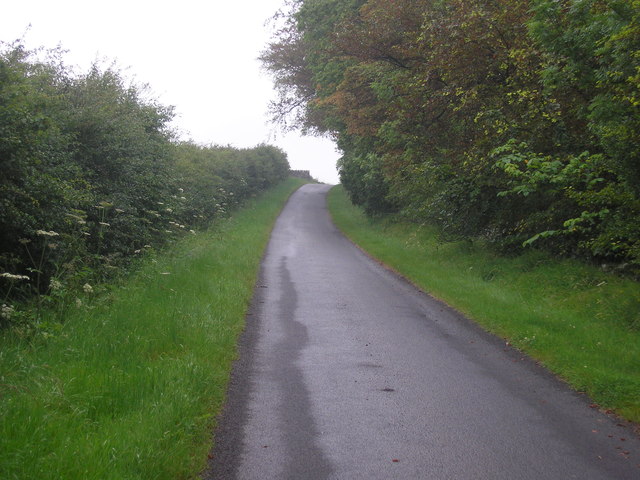
The woodlands of West Strip offer an array of outdoor activities for nature enthusiasts. There are several well-maintained trails that wind through the forests, providing opportunities for hiking, walking, and cycling. These paths offer breathtaking views of the surrounding countryside and the chance to immerse oneself in the tranquility of nature.

In addition to its natural beauty, West Strip is also home to several historical landmarks. The area has a rich history, with evidence of human habitation dating back thousands of years. Visitors can explore ancient ruins, stone circles, and other archaeological sites that provide insight into the region's past.

Overall, West Strip in Fife is a picturesque destination that offers a unique blend of natural beauty and historical significance. Whether it's exploring the woodlands, observing wildlife, or delving into history, this area has something to offer for everyone.

If you have any feedback on the listing, please let us know in the comments section below.

West Strip Images

Images are sourced within 2km of 56.231746/-2.8768057 or Grid Reference NO4504. Thanks to Geograph Open Source API. All images are credited.

Houses in a hamlet Houses near open ground in Drumeldrie.
Houses in a hamlet
Houses near open ground in Drumeldrie.
Growing whisky This fine crop of barley near Balchrystie will probably end up being malted and used for the production of whisky.
Growing whisky
This fine crop of barley near Balchrystie will probably end up being malted and used for the production of whisky.
Balchrystie drive Entrance drive to Balchrystie House.
Balchrystie drive
Entrance drive to Balchrystie House.
Mill pond The view of the mill pond as seen from the footbridge which crosses the river/stream which flows through the estate.
Mill pond
The view of the mill pond as seen from the footbridge which crosses the river/stream which flows through the estate.
Bridge over the river at the entrance to the mill pond The view of the bridge which crosses the Den Burn at the entrance to the mill pond <a href="https://www.geograph.org.uk/photo/2537731">NO4704 : Mill pond</a>.
Bridge over the river at the entrance to the mill pond
The view of the bridge which crosses the Den Burn at the entrance to the mill pond NO4704 : Mill pond.
Bridge over the Den Burn
Estate track
Estate track
Farm track leading to Flagstaff Hill
Corner of a field The view of the wall to the north of the highest point on Flagstaff Hill.
Corner of a field
The view of the wall to the north of the highest point on Flagstaff Hill.
The highest point on Flagstaff Hill The view from the field to the south of the highest point of Flagstaff Hill.
The highest point on Flagstaff Hill
The view from the field to the south of the highest point of Flagstaff Hill.
Field bordered by Transvaal Wood The view of the southern edge of a field bounded on three sides by woodland.  The wood on the southern side is named Transvaal Wood.
Field bordered by Transvaal Wood
The view of the southern edge of a field bounded on three sides by woodland. The wood on the southern side is named Transvaal Wood.
The road from Rires The view of the road that leads to Rires Farm
The road from Rires
The view of the road that leads to Rires Farm
Rires Farm
Rires Farm
Private road in Balcarres Estate
Road junction The view of a junction on the private road through the Balcarres Estate.  The road on the right leads to Rires.
Road junction
The view of a junction on the private road through the Balcarres Estate. The road on the right leads to Rires.
Grazing land near  Balchrystie South-west of Colinsbuth in Fife.
Grazing land near Balchrystie
South-west of Colinsbuth in Fife.
Woodland path Through the conifer plantation north of Lathallan Mill.
Woodland path
Through the conifer plantation north of Lathallan Mill.
Gatehouse at Lathallan Mill
Show me another place!

West Strip is located at Grid Ref: NO4504 (Lat: 56.231746, Lng: -2.8768057)

Unitary Authority: Fife

Police Authority: Fife

What 3 Words

///knees.wedding.marine. Near Lundin Links, Fife

Related Wikis

Charleton House

Charleton House is located in the East Neuk of Fife, eastern Scotland. It lies around 1.5 kilometres (0.93 mi) west of Colinsburgh, and 5 kilometres (3...

Newburn, Fife

Newburn is a civil parish in the County of Fife in Scotland. It is located on the north coast of the Firth of Forth and bounded by the parishes of Kilconquhar...

Balcarres House

Balcarres House lies 1km north of the village of Colinsburgh, in the East Neuk of Fife, in eastern Scotland. It is centred on a mansion built in 1595...

Drumeldrie

Drumeldrie is a hamlet in the East Neuk area of Fife, Scotland. It is to the east of Upper Largo and is on the A917 road. It is around a 15-minute walk...

Related Videos

Elie Holiday Park

Shirt video of Elie Holiday Park and beach.

Elie Holiday Park (Part 1 of 2) 24 - 27 April 2022

A few nights away at Elie Holiday Park, Elie, Fife at the end of April 2022. The site is a Camping and Caravan site, beautifully kept, ...

Nearby Amenities

Located within 500m of 56.231746,-2.8768057
Flagstaff Hill
Ele: 214
Natural: peak
Lat/Long: 56.2315691/-2.8848181
Power: pole
Lat/Long: 56.2314547/-2.8691573
Power: pole
Lat/Long: 56.2312588/-2.8697693
Flagstaff Hill barrow, Scheduled Monument 13770
Access: permissive
Archaeological Site: tumulus
Historic: archaeological_site
Historic Civilization: bronze-age
Source: http://canmore.org.uk/site/374001
Lat/Long: 56.2338703/-2.8837319
The data included in this document is from www.openstreetmap.org. The data is made available under ODbL.

Have you been to West Strip?

Leave your review of West Strip below (or comments, questions and feedback).