Horsburgh Strip

Wood, Forest in Peeblesshire

Scotland

Horsburgh Strip

Angle in the wall, Mill Rig On the ridge with Lee Burn Head in view.
Angle in the wall, Mill Rig Credit: Jim Barton

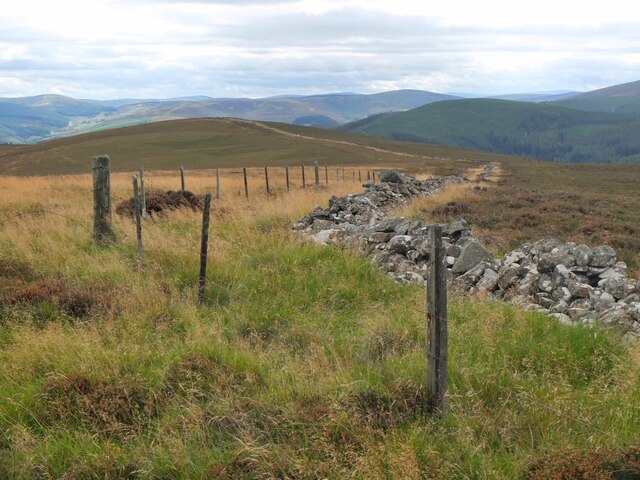
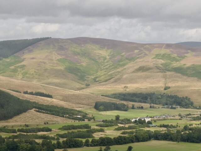
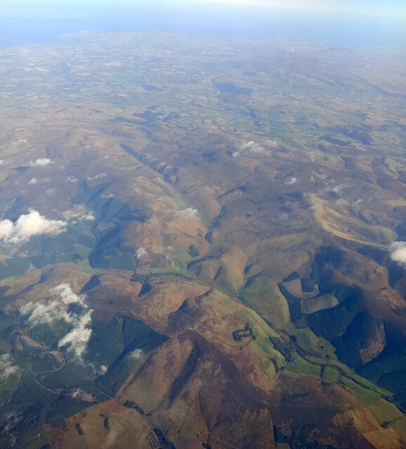
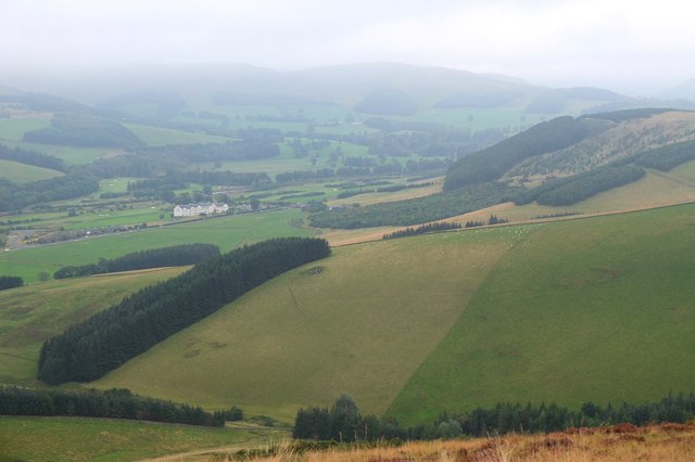
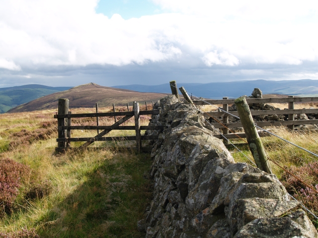
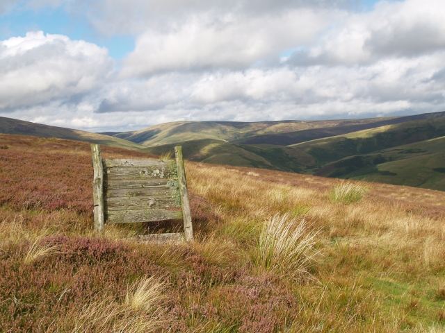
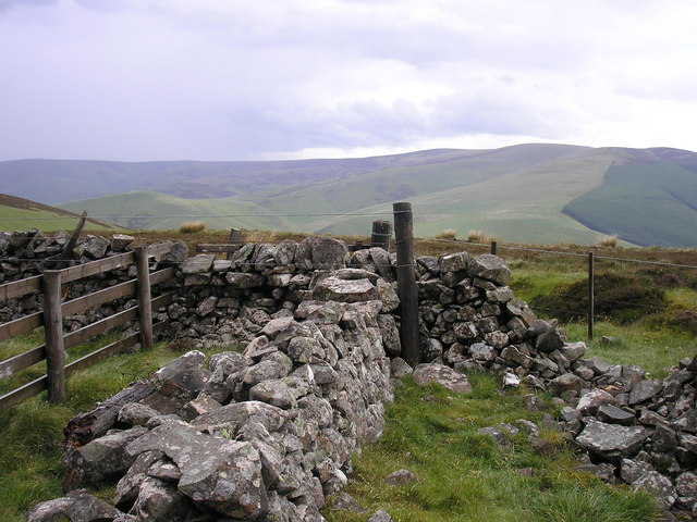
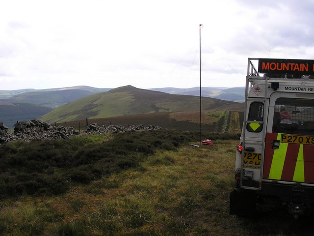
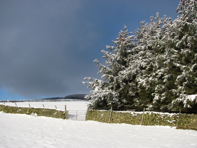
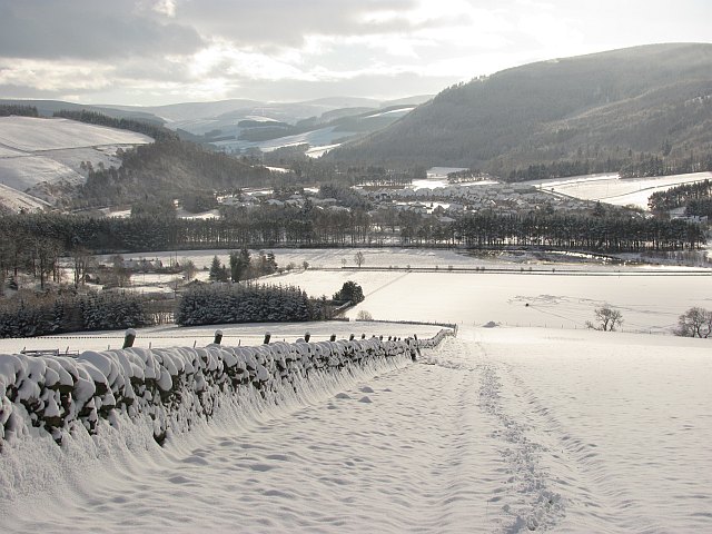
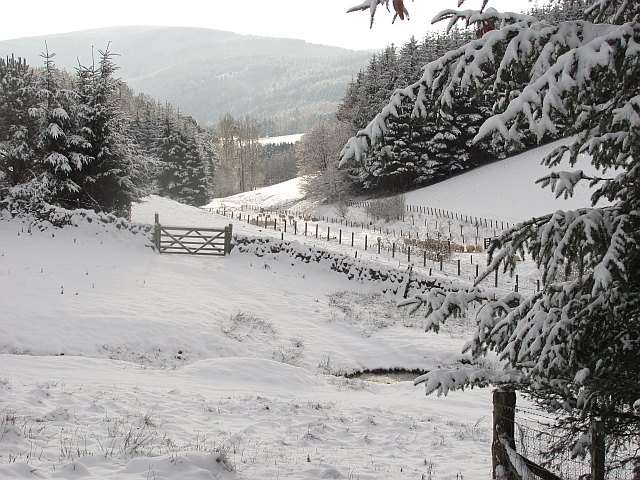
Horsburgh Strip is a prominent wooded area located in Peeblesshire, a historic county in the Scottish Borders region of Scotland. Nestled amidst picturesque countryside and rolling hills, this forested landscape offers a tranquil and serene experience for nature enthusiasts and outdoor adventurers alike.

Covering an expansive area, Horsburgh Strip is characterized by a dense and diverse collection of trees, including oak, birch, and pine. The forest floor is adorned with a rich carpet of mosses, ferns, and wildflowers, creating a vibrant and enchanting atmosphere. The abundance of wildlife within the strip further adds to its allure, with sightings of various bird species, squirrels, deer, and occasionally, elusive red squirrels.

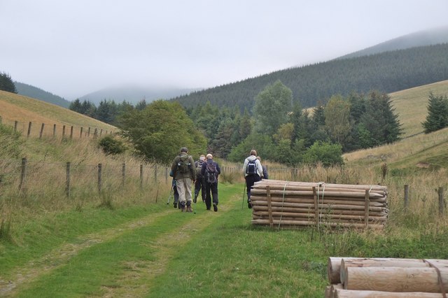
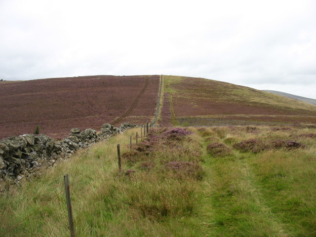
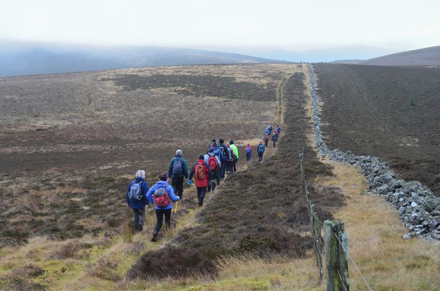
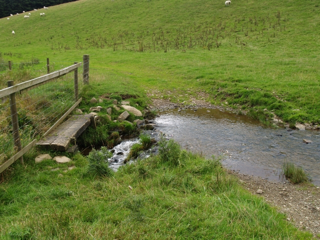
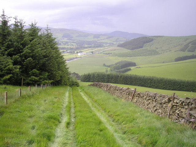
Winding paths and trails crisscross through the forest, inviting visitors to explore its natural beauty. These well-maintained routes cater to hikers, walkers, and cyclists, providing opportunities to immerse oneself in the peaceful surroundings while enjoying the fresh air. Along the way, informative signposts and interpretive boards offer insights into the local flora and fauna, enhancing the educational aspect of the experience.

Horsburgh Strip is not only a haven for nature enthusiasts but also serves as an important conservation area, preserving the region's biodiversity. Efforts are made to sustain the forest's ecological balance, ensuring the continued existence of its unique ecosystem. Additionally, the strip is a popular destination for educational field trips, offering students and researchers valuable opportunities to study and learn about the area's natural heritage.

Overall, Horsburgh Strip in Peeblesshire is a captivating woodland retreat, where visitors can escape the hustle and bustle of everyday life and immerse themselves in the beauty of nature.

If you have any feedback on the listing, please let us know in the comments section below.

Horsburgh Strip Images

Images are sourced within 2km of 55.636232/-3.0912982 or Grid Reference NT3138. Thanks to Geograph Open Source API. All images are credited.

Angle in the wall, Mill Rig On the ridge with Lee Burn Head in view.
Angle in the wall, Mill Rig
On the ridge with Lee Burn Head in view.
Black Knowe Hill above the Cardrona Hotel.
Black Knowe
Hill above the Cardrona Hotel.
Mouse Dean Head from the air The course of Leithen Water can be clearly seen in the foreground. East Lothian, the Firth of Forth and the North Sea are in the distance.

Taken by mobile phone, from a Prague bound flight from Edinburgh.
Mouse Dean Head from the air
The course of Leithen Water can be clearly seen in the foreground. East Lothian, the Firth of Forth and the North Sea are in the distance. Taken by mobile phone, from a Prague bound flight from Edinburgh.
Track by the Hope Burn Bundles of fence posts by the track on the way up by Hope Burn towards the plantations of Glentress Forest.
Track by the Hope Burn
Bundles of fence posts by the track on the way up by Hope Burn towards the plantations of Glentress Forest.
Bught Hill from Habs Cleuch Shank Much of the land in the middle foreground will be planted by the Forestry Commission over the next few years. The white building in the valley is the Macdonald Cardrona Hotel.
Bught Hill from Habs Cleuch Shank
Much of the land in the middle foreground will be planted by the Forestry Commission over the next few years. The white building in the valley is the Macdonald Cardrona Hotel.
Climbing to Black Knowe
All clear on Mill Rig Walkers en route to Innerleithen enjoying the views again, having dropped below cloud base on the ridge walk from Peebles. Compare with <a href="https://www.geograph.org.uk/photo/6018821">NT3141 : Descending Clog Knowe</a>.
All clear on Mill Rig
Walkers en route to Innerleithen enjoying the views again, having dropped below cloud base on the ridge walk from Peebles. Compare with NT3141 : Descending Clog Knowe.
Muirburn smoke A view from Pirn Craig across the Leithen Water valley to smoke above Mouse Dean with the turbines of Bowbeat windfarm on the skyline.
Muirburn smoke
A view from Pirn Craig across the Leithen Water valley to smoke above Mouse Dean with the turbines of Bowbeat windfarm on the skyline.
Summit, Mill Rig A rather cluttered summit with three walls meeting, and a number of fences and gates.  Looking towards the distant summit of Lee Pen.
Summit, Mill Rig
A rather cluttered summit with three walls meeting, and a number of fences and gates. Looking towards the distant summit of Lee Pen.
Grouse Butt, Mill Rig This seem to have been here for some time and is now quite rickerty.
Grouse Butt, Mill Rig
This seem to have been here for some time and is now quite rickerty.
Footbridge and ford, Horsburgh Hope Burn. Living at the end of this track might be the one valid reason for owning a SUV.
Footbridge and ford, Horsburgh Hope Burn.
Living at the end of this track might be the one valid reason for owning a SUV.
On Mill Rig
On Mill Rig
The Summit of Mill Rig, spot height 486m
On the Summit of Mill Rig looking to Lee Pen The mast in the photo is a mobile radio repeater, this enables the mountain rescue to talk from one valley into another.
On the Summit of Mill Rig looking to Lee Pen
The mast in the photo is a mobile radio repeater, this enables the mountain rescue to talk from one valley into another.
Cloud forming on Mill Rig A sunny day changed to low lying cloud with another layer of fog at glen level in just a few minutes. Unfortunately the ground was not steep enough for a Brocken spectre to form, but we did get the glory.
Cloud forming on Mill Rig
A sunny day changed to low lying cloud with another layer of fog at glen level in just a few minutes. Unfortunately the ground was not steep enough for a Brocken spectre to form, but we did get the glory.
End of the Strip The butt of a shelterbelt rising up from the Hope.
End of the Strip
The butt of a shelterbelt rising up from the Hope.
Farm track, Nether Horsburgh Looking downhill along a trackway towards the new village of Cardrona on the floor of Tweeddale.
Farm track, Nether Horsburgh
Looking downhill along a trackway towards the new village of Cardrona on the floor of Tweeddale.
Horseburgh Hope Looking downstream towards where sheep had just been fed.
Horseburgh Hope
Looking downstream towards where sheep had just been fed.
Show me another place!

Horsburgh Strip is located at Grid Ref: NT3138 (Lat: 55.636232, Lng: -3.0912982)

Unitary Authority: The Scottish Borders

Police Authority: The Lothians and Scottish Borders

What 3 Words

///hurricane.smug.cocoons. Near Innerleithen, Scottish Borders

Related Wikis

Cardrona, Scottish Borders

Cardrona is a village on the A72 and B7062, between Peebles and Innerleithen, in the Scottish Borders area of Scotland. Places nearby include Glentress...

Nether Horsburgh Castle

Nether Horsburgh Castle is a ruined tower house near Cardrona, in the Scottish Borders, in the former county of Peebleshire. It is situated at the back...

Cardrona railway station

Cardrona railway station served the village of Cardrona, Scottish Borders, Scotland from 1864 to 1962 on the Peebles Railway. == History == The station...

Cardrona Forest

The Cardrona Forest is a forest in the Scottish Borders area of Scotland, on the B7062, near Peebles. OS Grid Reference: NT292385. Cardrona Forest consists...

Kirkburn, Scottish Borders

Kirkburn is a village on the B7062, close to Peebles and the River Tweed, in the Scottish Borders area of Scotland, at the edge of the Cardrona Forest...

Vale of Leithen F.C.

Vale of Leithen Football Club are a football club based in the town of Innerleithen, Scotland. They play in the East of Scotland League First Division...

Robert Smail's Printing Works

Robert Smail's Printing Works is a fully functional Victorian era letterpress printing works in the small Scottish Borders town of Innerleithen, now preserved...

Leithen Water

Leithen Water (Scottish Gaelic: Leitheann / Abhainn Leitheinn) is a tributary of the River Tweed in Scotland. It rises in the Moorfoot Hills and joins...

Have you been to Horsburgh Strip?

Leave your review of Horsburgh Strip below (or comments, questions and feedback).