Blacksike Wood
Wood, Forest in Dumfriesshire
Scotland
Blacksike Wood

Blacksike Wood is a picturesque woodland located in the region of Dumfriesshire, Scotland. Spanning over a vast area, the wood is situated near the town of Moffat and is known for its natural beauty and diverse wildlife. The wood is owned and managed by the Forestry Commission Scotland.
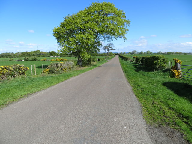
Blacksike Wood is predominantly made up of native broadleaf trees, such as oak, birch, and ash, which create a dense and lush canopy. The wood is well-maintained, with clearly marked trails that allow visitors to explore its enchanting surroundings. These trails cater to various levels of fitness and offer stunning views of the surrounding countryside.
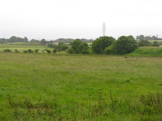
The wood is home to a wide range of wildlife, including red squirrels, badgers, roe deer, and a variety of bird species. Bird enthusiasts can often spot woodpeckers, owls, and various songbirds within the woodland.
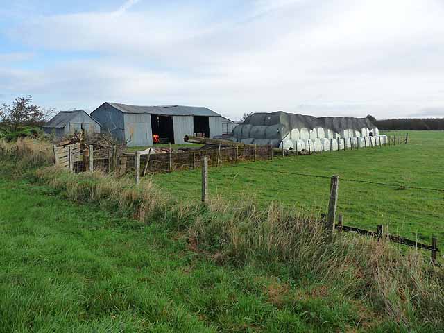
Blacksike Wood also has a rich history. The wood was once used for timber production, and remnants of this industry can still be seen today. There are also several archaeological features in the wood, including ancient settlements and burial mounds, which provide insight into the area's past.
Visitors to Blacksike Wood can enjoy a peaceful and tranquil environment, perfect for walking, birdwatching, or simply immersing oneself in nature. The wood offers a great escape from the hustle and bustle of everyday life, allowing visitors to connect with the natural world and appreciate the beauty of Dumfriesshire.
If you have any feedback on the listing, please let us know in the comments section below.
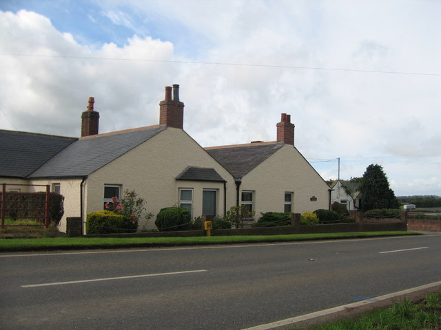
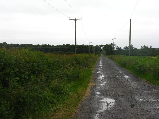
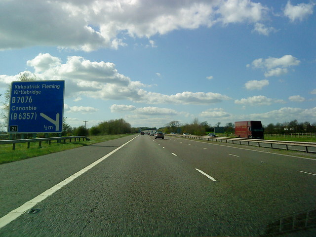
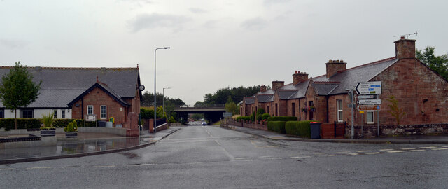
Blacksike Wood Images
Images are sourced within 2km of 55.016739/-3.0740283 or Grid Reference NY3169. Thanks to Geograph Open Source API. All images are credited.

Blacksike Wood is located at Grid Ref: NY3169 (Lat: 55.016739, Lng: -3.0740283)
Unitary Authority: Dumfries and Galloway
Police Authority: Dumfries and Galloway
What 3 Words
///destroyer.rotations.holds. Near Gretna, Dumfries & Galloway
Nearby Locations
Related Wikis

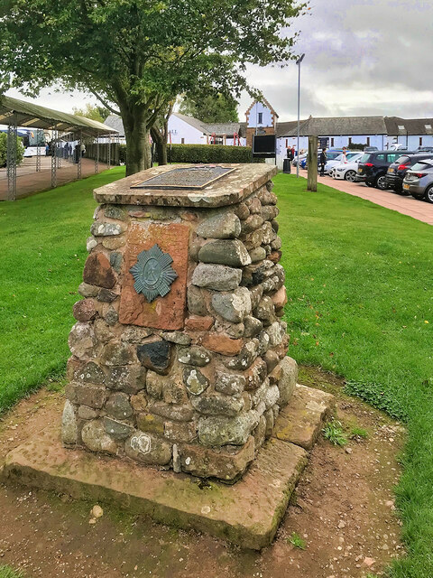
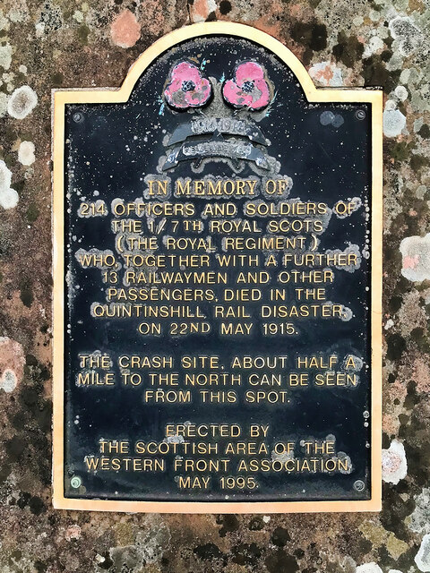
Quintinshill rail disaster
The Quintinshill rail disaster was a multi-train rail crash which occurred on 22 May 1915 outside the Quintinshill signal box near Gretna Green in Dumfriesshire...
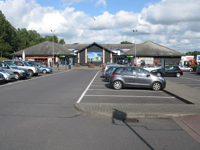
Gretna Green services
Gretna Green services is a motorway service station near the village of Gretna Green, Scotland and the town of Gretna. The service station is located next...
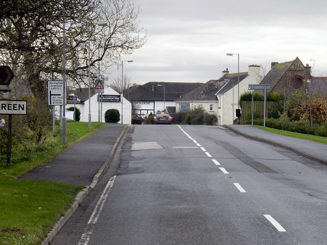
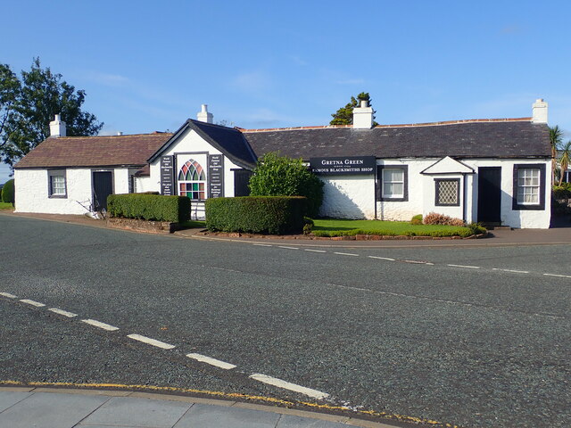
Gretna Green
Gretna Green is a parish in the southern council area of Dumfries and Galloway, Scotland, on the Scottish side of the border between Scotland and England...

Gretna Green railway station
Gretna Green is a railway station on the Glasgow South Western Line, which runs between Carlisle and Glasgow Central via Kilmarnock. The station, situated...

Halcrow Stadium
Halcrow Stadium was a greyhound racing stadium in Annan Road, Gretna, Scotland == History == The plans to build a new greyhound stadium on a ten-acre site...

Raydale Park
Raydale Park is a football stadium in Gretna, Scotland. It is home to Lowland League side Gretna 2008 and now has a capacity of 1,030. Raydale formerly...
Gretna, Dumfries and Galloway
Gretna (Scottish Gaelic: Greatna) is a town in Dumfries and Galloway, Scotland, originally part of the historic county of Dumfriesshire. It is located...
Gretna railway station (Border Union Railway)
Gretna railway station was a railway station close to Gretna Green in Scotland although the station was on the English side of the border. However the...
Nearby Amenities
Located within 500m of 55.016739,-3.0740283Have you been to Blacksike Wood?
Leave your review of Blacksike Wood below (or comments, questions and feedback).