Dragon's Eye Wood
Wood, Forest in Dumfriesshire
Scotland
Dragon's Eye Wood
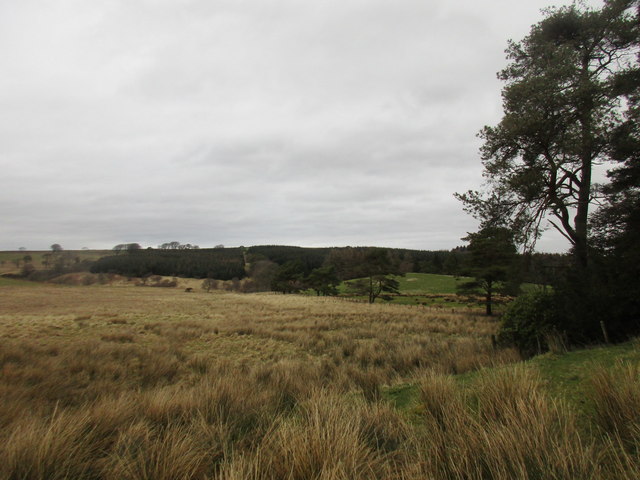
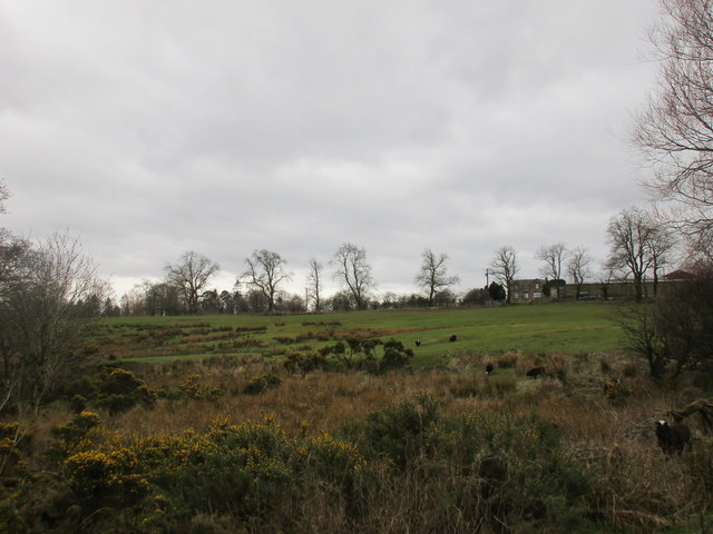
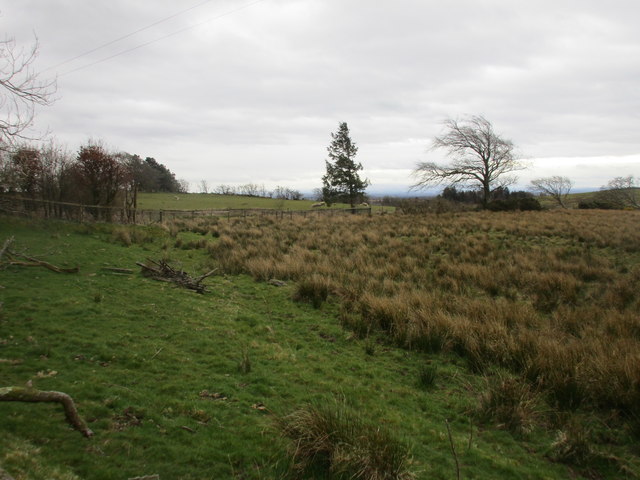
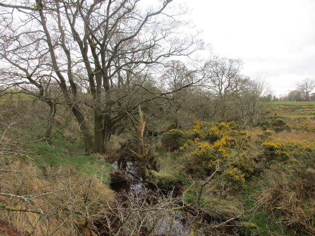
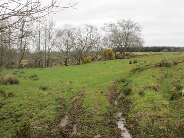
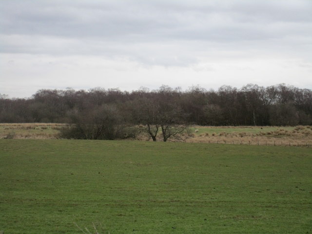
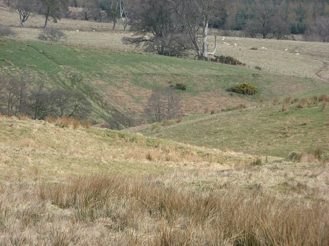
Dragon's Eye Wood is a captivating forest located in Dumfriesshire, Scotland. Covering an area of approximately 500 acres, this woodland is known for its enchanting beauty and unique geological formations. The name "Dragon's Eye" is derived from the distinctive rock formation at the heart of the wood, which resembles the eye of a mythical dragon.
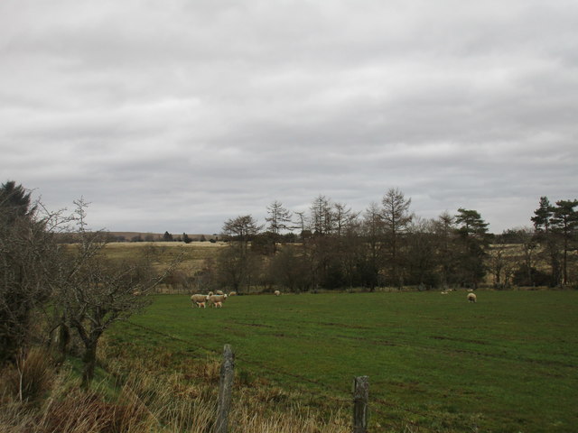
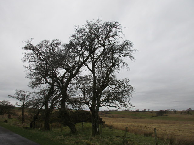
The forest is predominantly composed of ancient oak trees, with their gnarled branches creating a mystical atmosphere. These ancient oaks are believed to be hundreds of years old, adding to the sense of timelessness that permeates the woodland. The forest floor is covered in a rich carpet of moss and ferns, creating a lush and verdant undergrowth.
The centerpiece of Dragon's Eye Wood is the Dragon's Eye Rock, a large granite outcrop that stands about 20 feet tall. Its striking resemblance to a dragon's eye has fascinated visitors for centuries, sparking numerous legends and folklore. The rock formation is a popular spot for photographers and nature enthusiasts, who are captivated by its unique shape and the stunning views it offers of the surrounding forest.
The wood is also home to a diverse array of flora and fauna. The forest provides a habitat for a variety of bird species, including woodpeckers, owls, and red kites. Deer, rabbits, and squirrels can also be spotted among the trees, adding to the natural charm of the woodland.
Dragon's Eye Wood is a true gem of Dumfriesshire, offering visitors a chance to immerse themselves in the beauty of nature and explore the mysterious allure of the dragon's eye.
If you have any feedback on the listing, please let us know in the comments section below.
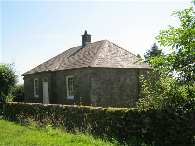
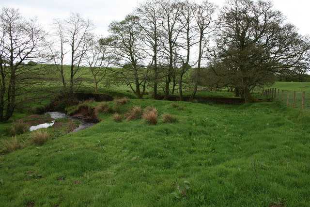
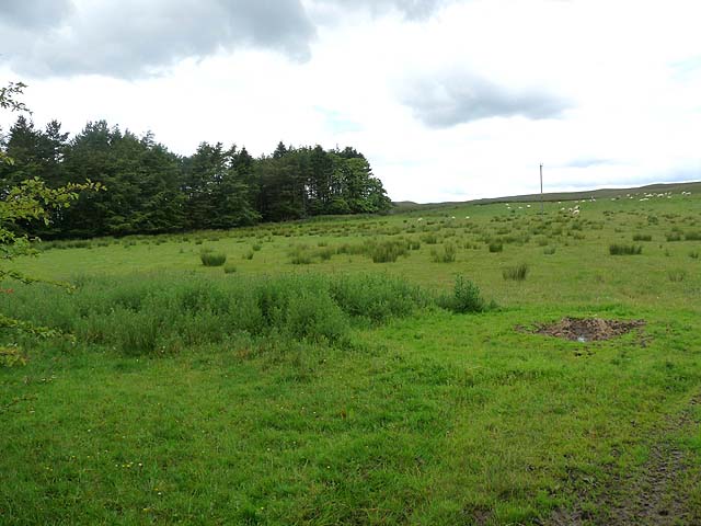
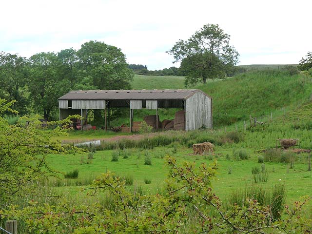
Dragon's Eye Wood Images
Images are sourced within 2km of 55.082276/-3.0763325 or Grid Reference NY3176. Thanks to Geograph Open Source API. All images are credited.


Dragon's Eye Wood is located at Grid Ref: NY3176 (Lat: 55.082276, Lng: -3.0763325)
Unitary Authority: Dumfries and Galloway
Police Authority: Dumfries and Galloway
What 3 Words
///sticks.cargo.spinners. Near Langholm, Dumfries & Galloway
Nearby Locations
Related Wikis

Timpanheck
Timpanheck is a village in Annandale, Scottish Borders. == External links == Timpanheck in The Gazetteer for Scotland Geograph.org.uk
Glenzier
Glenzier (; see yogh for the unintuitive spelling) is a rural area in Dumfries and Galloway, Scotland. == See also == Scots dike and the Glenzier burn...
Glencartholm
Glencartholm is a location in Dumfries and Galloway, southern Scotland, along the River Esk.The Glencartholm Volcanic Beds contain a Palaeozoic (specifically...
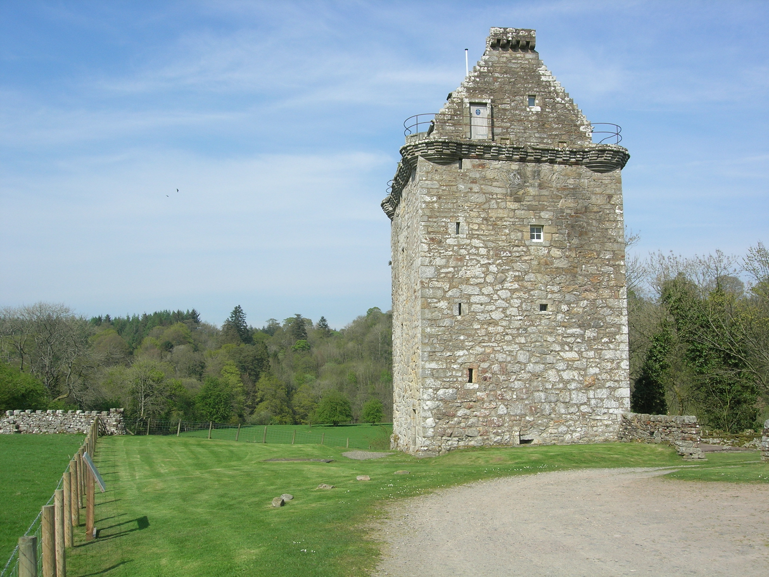
Gilnockie Tower
Gilnockie Tower is a 16th-century tower house, located at the hamlet of Hollows, 2.3 km north of Canonbie, in Dumfriesshire, south-west Scotland. The tower...
Kirkpatrick-Fleming
Kirkpatrick-Fleming (Scottish Gaelic: Cill Phàdraig) is a village and civil parish in Dumfries and Galloway, south-west Scotland. It is located between...

Quintinshill rail disaster
The Quintinshill rail disaster was a multi-train rail crash which occurred on 22 May 1915 outside the Quintinshill signal box near Gretna Green in Dumfriesshire...

Kirkpatrick railway station
Kirkpatrick railway station was a station which served the rural area around Kirkpatrick Fleming, north of Gretna in the Scottish county of Dumfries and...
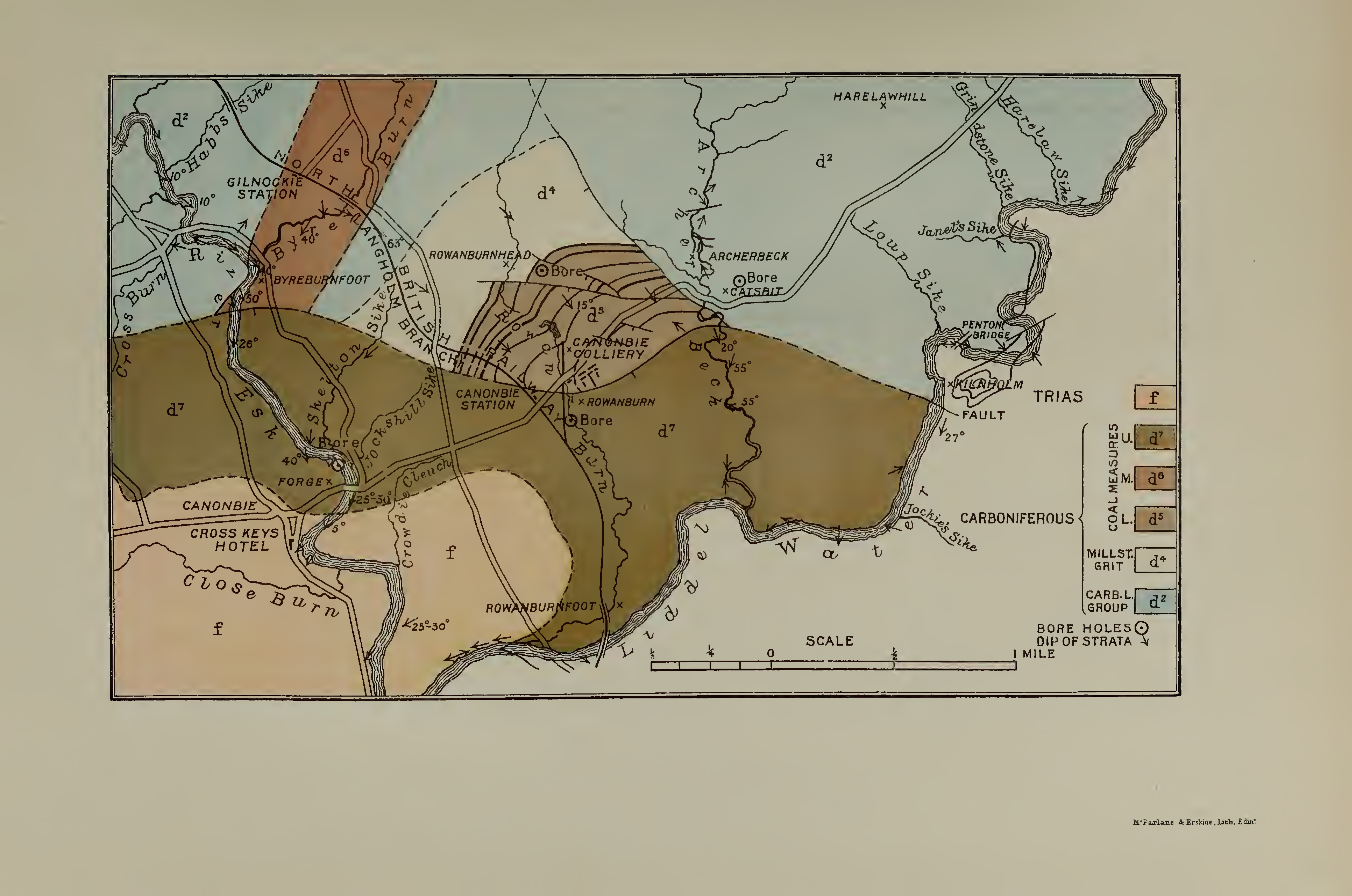
Canonbie Coalfield
The Canonbie Coalfield is a small and largely concealed coalfield at Canonbie in the south of Scotland. A comprehensive survey by Peach and Horne was published...
Have you been to Dragon's Eye Wood?
Leave your review of Dragon's Eye Wood below (or comments, questions and feedback).