High Wood

Wood, Forest in Peeblesshire

Scotland

High Wood

Angle in the wall, Mill Rig On the ridge with Lee Burn Head in view.
Angle in the wall, Mill Rig Credit: Jim Barton

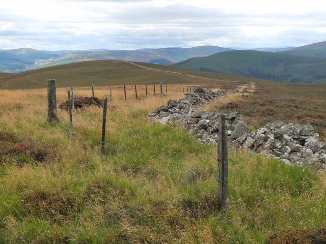
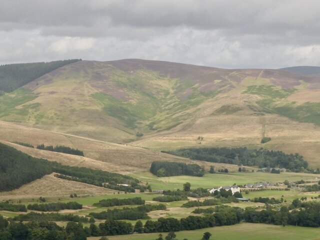
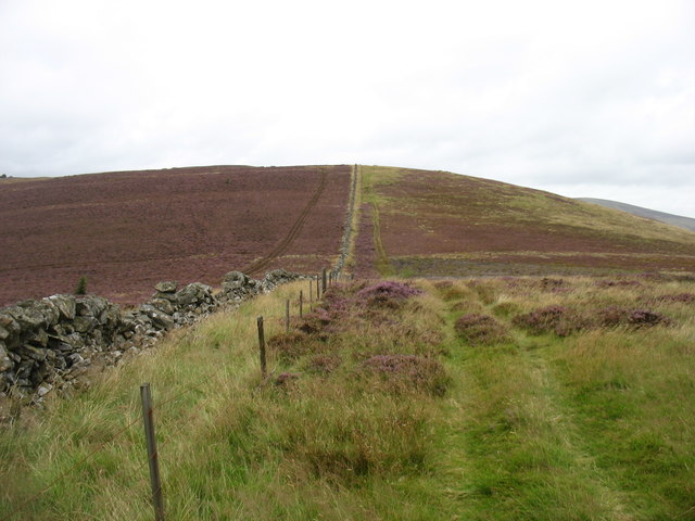
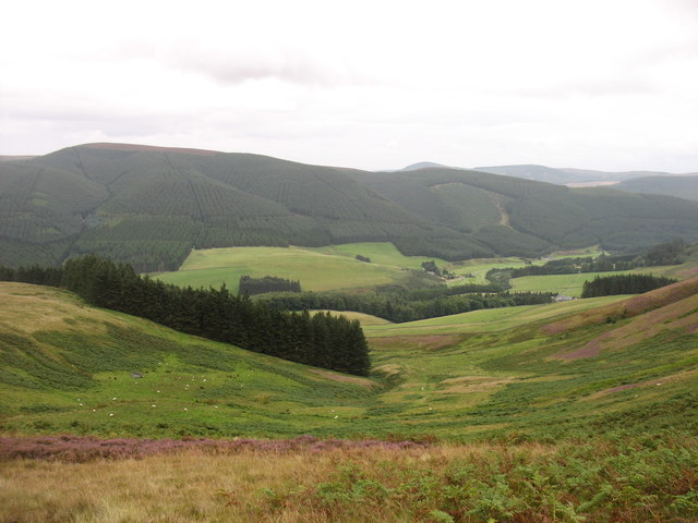
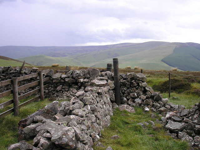
High Wood is a picturesque forest located in Peeblesshire, Scotland. Situated in the southern part of the county, High Wood covers an area of approximately 200 acres. It is a popular destination for nature lovers, hikers, and birdwatchers alike.

The woodland is characterized by its diverse range of tree species, including oak, beech, birch, and pine. These trees create a dense canopy that provides a tranquil and serene atmosphere for visitors. The forest floor is adorned with a variety of wildflowers, adding to its natural beauty.

High Wood is home to a rich array of wildlife. Bird enthusiasts can spot various species, such as woodpeckers, owls, and thrushes. Red squirrels can also be seen darting between the branches, while the occasional deer may be spotted grazing in the distance.

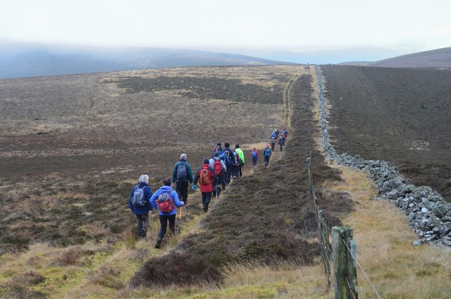
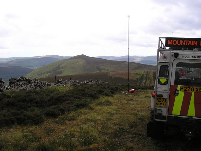
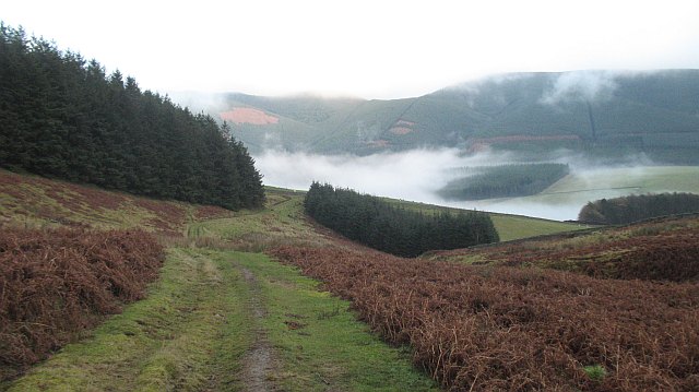
Several well-marked trails wind their way through High Wood, offering visitors the opportunity to explore the forest's hidden gems. These paths cater to different abilities, from easy strolls to more challenging hikes. Along the way, walkers can enjoy breathtaking views of the surrounding countryside and may stumble upon hidden waterfalls or ancient ruins.

The forest is maintained by local authorities, ensuring the preservation of its natural habitat. High Wood is accessible to the public year-round and offers a peaceful retreat from the hustle and bustle of everyday life. Whether it's a leisurely walk or a day spent exploring, High Wood is a charming destination for those seeking solace in nature.

If you have any feedback on the listing, please let us know in the comments section below.

High Wood Images

Images are sourced within 2km of 55.636575/-3.0840162 or Grid Reference NT3138. Thanks to Geograph Open Source API. All images are credited.
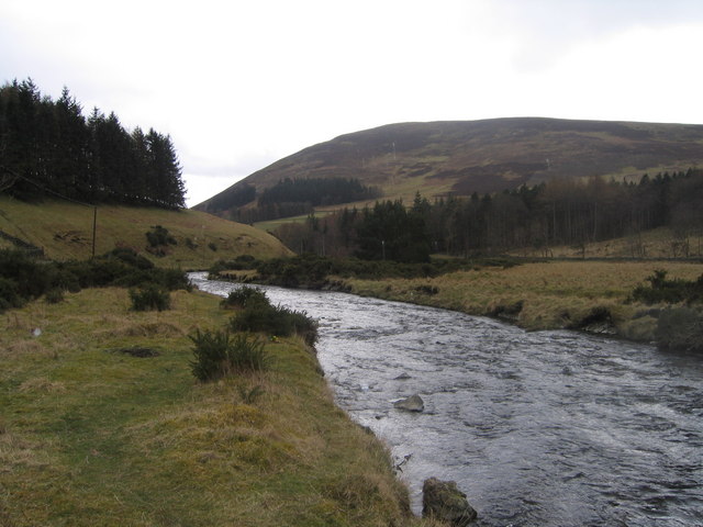
Angle in the wall, Mill Rig On the ridge with Lee Burn Head in view.
Angle in the wall, Mill Rig
On the ridge with Lee Burn Head in view.
Black Knowe Hill above the Cardrona Hotel.
Black Knowe
Hill above the Cardrona Hotel.
Mouse Dean Head from the air The course of Leithen Water can be clearly seen in the foreground. East Lothian, the Firth of Forth and the North Sea are in the distance.

Taken by mobile phone, from a Prague bound flight from Edinburgh.
Mouse Dean Head from the air
The course of Leithen Water can be clearly seen in the foreground. East Lothian, the Firth of Forth and the North Sea are in the distance. Taken by mobile phone, from a Prague bound flight from Edinburgh.
Muirburn smoke near Mill Rig A plume of smoke from heather burning on the far side of the ridge running S towards Lee Pen. The viewpoint is across the valley on the ridge between Eastside Heights and Windlestraw Law. Compare with <a href="https://www.geograph.org.uk/photo/3937826">NT3140 : Muirburn smoke plumes</a>.
Muirburn smoke near Mill Rig
A plume of smoke from heather burning on the far side of the ridge running S towards Lee Pen. The viewpoint is across the valley on the ridge between Eastside Heights and Windlestraw Law. Compare with NT3140 : Muirburn smoke plumes.
Woodland at The Ley In the valley of the Leithen Water, with Lee Pen [502m] beyond.
Woodland at The Ley
In the valley of the Leithen Water, with Lee Pen [502m] beyond.
Glentress from the air Mousedean is in the foreground, Glentress is surrounded by a ring of clouds.
Glentress from the air
Mousedean is in the foreground, Glentress is surrounded by a ring of clouds.
Climbing to Black Knowe
The Mouse Dean valley Looking towards Lee and the Innerleithen Golf Club.
The Mouse Dean valley
Looking towards Lee and the Innerleithen Golf Club.
All clear on Mill Rig Walkers en route to Innerleithen enjoying the views again, having dropped below cloud base on the ridge walk from Peebles. Compare with <a href="https://www.geograph.org.uk/photo/6018821">NT3141 : Descending Clog Knowe</a>.
All clear on Mill Rig
Walkers en route to Innerleithen enjoying the views again, having dropped below cloud base on the ridge walk from Peebles. Compare with NT3141 : Descending Clog Knowe.
Muirburn smoke A view from Pirn Craig across the Leithen Water valley to smoke above Mouse Dean with the turbines of Bowbeat windfarm on the skyline.
Muirburn smoke
A view from Pirn Craig across the Leithen Water valley to smoke above Mouse Dean with the turbines of Bowbeat windfarm on the skyline.
Leithen Water The Leithen Water flowing south towards the Tweed near Ley.
Leithen Water
The Leithen Water flowing south towards the Tweed near Ley.
Summit, Mill Rig A rather cluttered summit with three walls meeting, and a number of fences and gates.  Looking towards the distant summit of Lee Pen.
Summit, Mill Rig
A rather cluttered summit with three walls meeting, and a number of fences and gates. Looking towards the distant summit of Lee Pen.
Grouse Butt, Mill Rig This seem to have been here for some time and is now quite rickerty.
Grouse Butt, Mill Rig
This seem to have been here for some time and is now quite rickerty.
On Mill Rig
On Mill Rig
The Summit of Mill Rig, spot height 486m
On the Summit of Mill Rig looking to Lee Pen The mast in the photo is a mobile radio repeater, this enables the mountain rescue to talk from one valley into another.
On the Summit of Mill Rig looking to Lee Pen
The mast in the photo is a mobile radio repeater, this enables the mountain rescue to talk from one valley into another.
Cloud forming on Mill Rig A sunny day changed to low lying cloud with another layer of fog at glen level in just a few minutes. Unfortunately the ground was not steep enough for a Brocken spectre to form, but we did get the glory.
Cloud forming on Mill Rig
A sunny day changed to low lying cloud with another layer of fog at glen level in just a few minutes. Unfortunately the ground was not steep enough for a Brocken spectre to form, but we did get the glory.
Mouse Dean Leaving the moorland for farmland around Lee.
Mouse Dean
Leaving the moorland for farmland around Lee.
Show me another place!

High Wood is located at Grid Ref: NT3138 (Lat: 55.636575, Lng: -3.0840162)

Unitary Authority: The Scottish Borders

Police Authority: The Lothians and Scottish Borders

What 3 Words

///cyclones.those.masses. Near Innerleithen, Scottish Borders

Related Wikis

Nether Horsburgh Castle

Nether Horsburgh Castle is a ruined tower house near Cardrona, in the Scottish Borders, in the former county of Peebleshire. It is situated at the back...

Cardrona, Scottish Borders

Cardrona is a village on the A72 and B7062, between Peebles and Innerleithen, in the Scottish Borders area of Scotland. Places nearby include Glentress...

Cardrona railway station

Cardrona railway station served the village of Cardrona, Scottish Borders, Scotland from 1864 to 1962 on the Peebles Railway. == History == The station...

Vale of Leithen F.C.

Vale of Leithen Football Club are a football club based in the town of Innerleithen, Scotland. They play in the East of Scotland League First Division...

Robert Smail's Printing Works

Robert Smail's Printing Works is a fully functional Victorian era letterpress printing works in the small Scottish Borders town of Innerleithen, now preserved...

Cardrona Forest

The Cardrona Forest is a forest in the Scottish Borders area of Scotland, on the B7062, near Peebles. OS Grid Reference: NT292385. Cardrona Forest consists...

Leithen Water

Leithen Water (Scottish Gaelic: Leitheann / Abhainn Leitheinn) is a tributary of the River Tweed in Scotland. It rises in the Moorfoot Hills and joins...

Innerleithen

Innerleithen (Scottish Gaelic: Inbhir Leitheann) is a civil parish and a small town in the committee area of Tweeddale, in the Scottish Borders. It was...

Have you been to High Wood?

Leave your review of High Wood below (or comments, questions and feedback).