Homehead Wood

Wood, Forest in Fife

Scotland

Homehead Wood

Grass field near Newhill Grass field next to the minor road heading to Newhill from Auchtermuchty.
Grass field near Newhill Credit: Scott Cormie

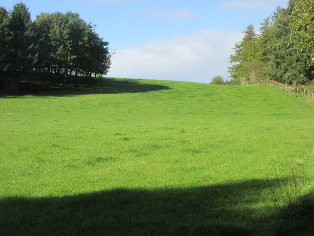
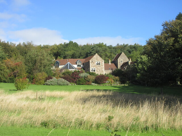
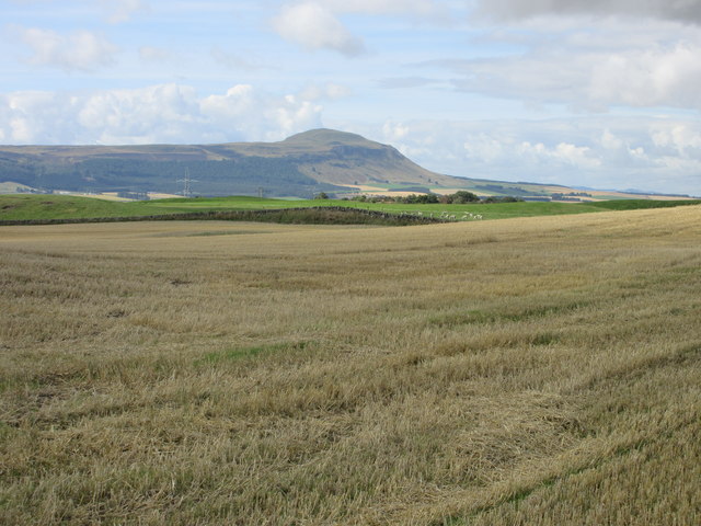
Homehead Wood is a picturesque forest located in the region of Fife, Scotland. Stretching across an area of approximately 100 acres, this woodland is a beloved natural gem for both locals and visitors alike. It is nestled in the idyllic countryside, offering a tranquil retreat from the hustle and bustle of city life.

The wood is primarily composed of various species of native trees, including oak, birch, and Scots pine. These trees create a dense canopy, providing shade and shelter for a diverse array of flora and fauna. Wildflowers such as bluebells and primroses bloom in abundance during the spring, painting the forest floor with vibrant colors.

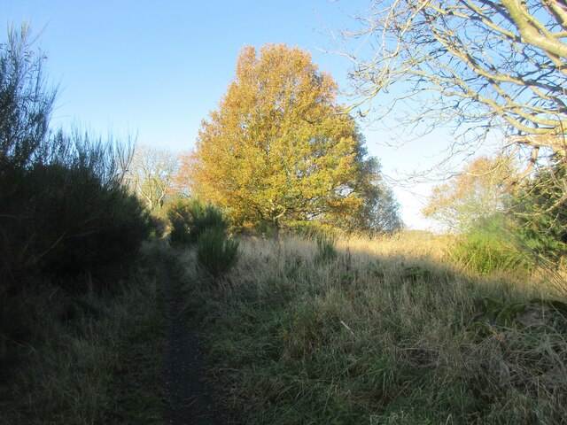
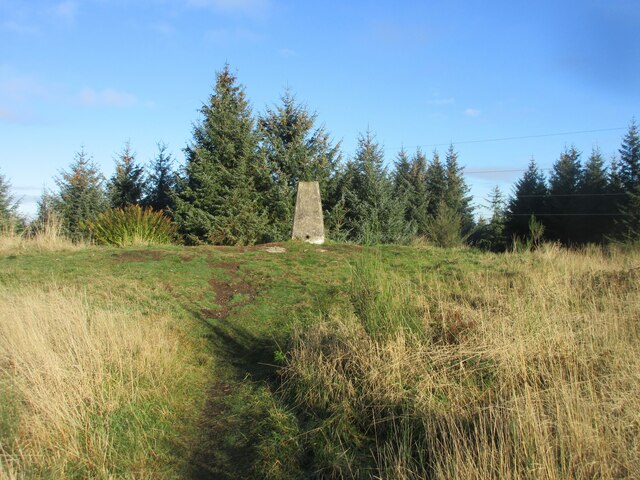
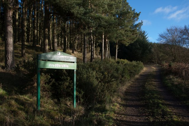
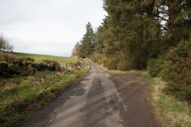
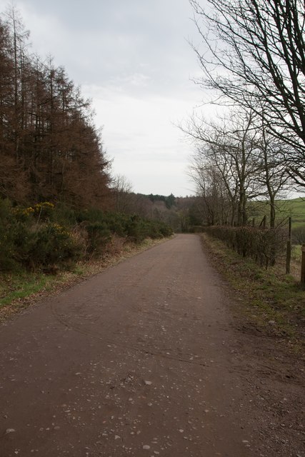
Homehead Wood is crisscrossed by numerous footpaths, enabling visitors to explore its beauty at their own pace. The paths wind through the forest, leading to hidden glades, babbling brooks, and enchanting clearings. Along the way, walkers may be fortunate enough to spot wildlife such as deer, squirrels, and a variety of bird species.

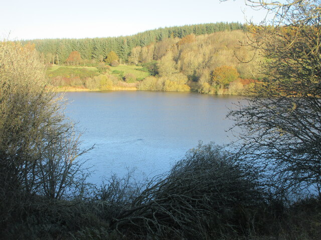
The wood also houses a small pond, which serves as a watering hole for animals and attracts a range of aquatic life. It acts as a peaceful oasis within the woodland, providing a tranquil spot for visitors to sit and reflect on nature's wonders.

Homehead Wood is a popular destination for nature lovers, hikers, and those seeking a peaceful escape. Its natural beauty, diverse ecosystem, and well-maintained trails make it a delightful place to explore and connect with the great outdoors.

If you have any feedback on the listing, please let us know in the comments section below.

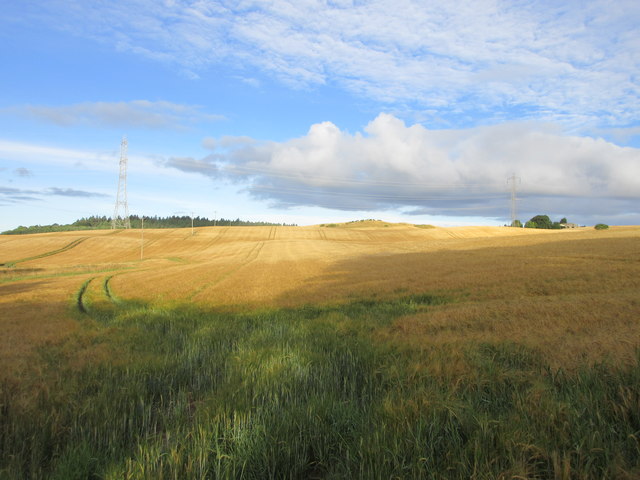
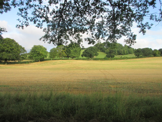
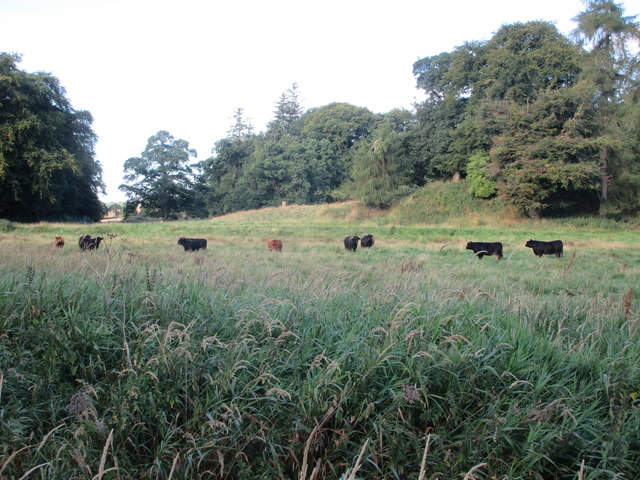
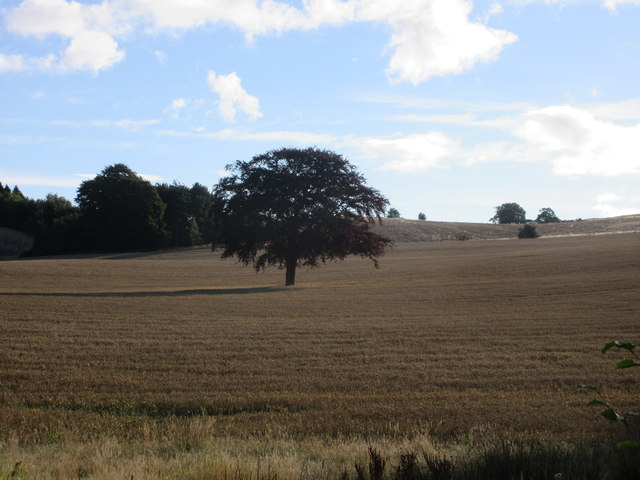
Homehead Wood Images

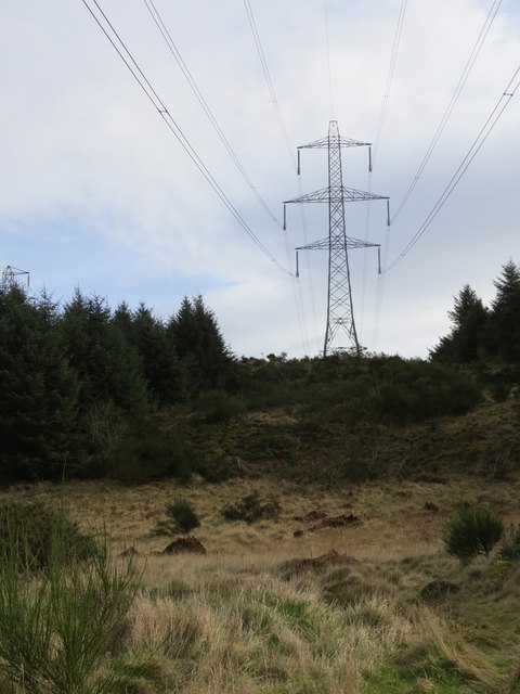
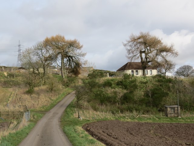
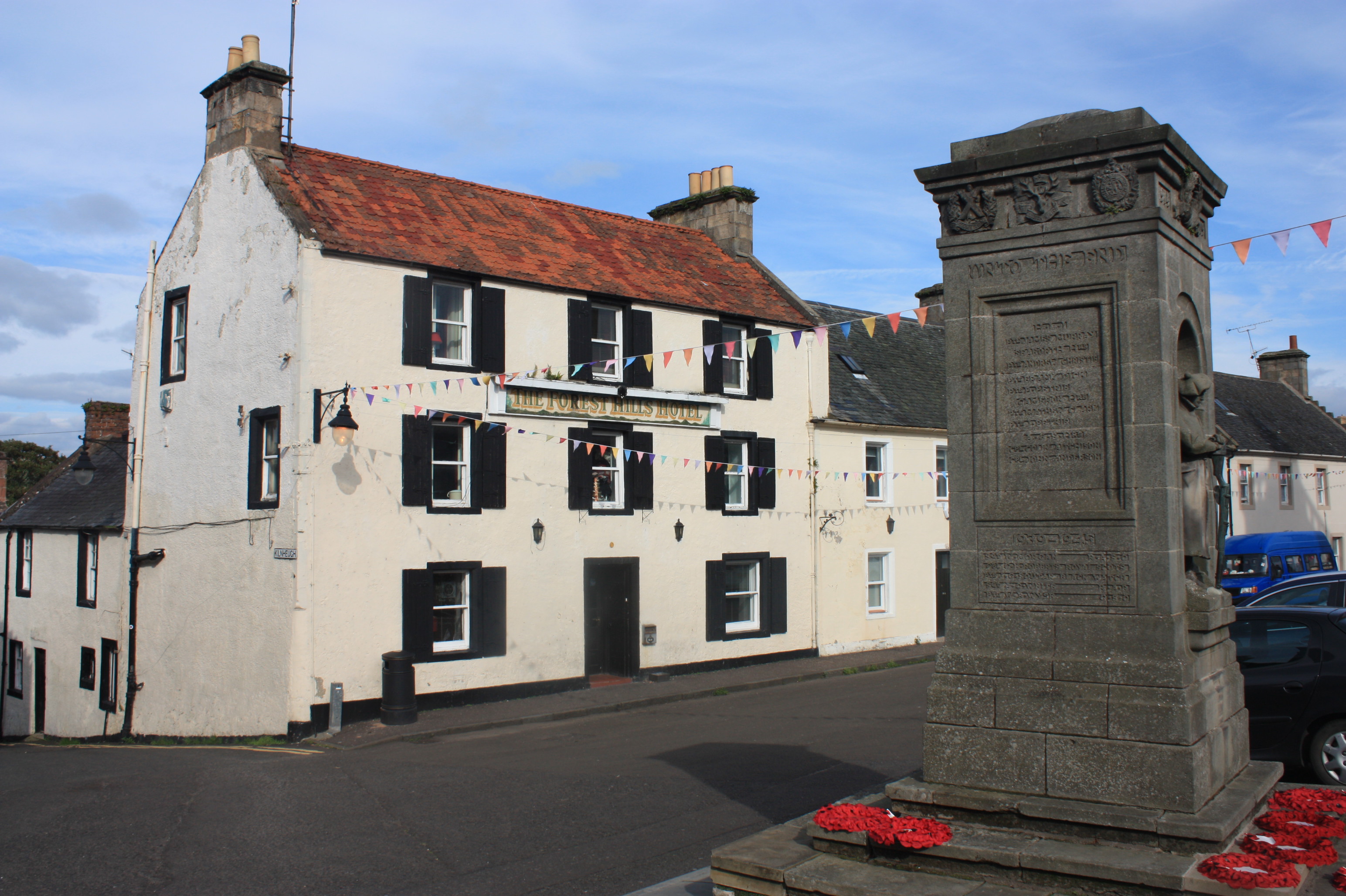
Images are sourced within 2km of 56.316101/-3.2442997 or Grid Reference NO2314. Thanks to Geograph Open Source API. All images are credited.

Grass field near Newhill Grass field next to the minor road heading to Newhill from Auchtermuchty.
Grass field near Newhill
Grass field next to the minor road heading to Newhill from Auchtermuchty.
Converted dwelling at Newton Mains Steading converted into a house at Newton Mains, viewed from the road to the south.
Converted dwelling at Newton Mains
Steading converted into a house at Newton Mains, viewed from the road to the south.
Lochmill Loch Lochmill Loch Reservoir from the hillside to the south.
Lochmill Loch
Lochmill Loch Reservoir from the hillside to the south.
Woodland and heathland on the path The path heading up Lumbennie Hill from the east passing through woodland and scrub.
Woodland and heathland on the path
The path heading up Lumbennie Hill from the east passing through woodland and scrub.
Lumbennie Hill Trig Pillar The triangulation pillar on Lumbennie Hill viewed from the south-west.
Lumbennie Hill Trig Pillar
The triangulation pillar on Lumbennie Hill viewed from the south-west.
Remains of  Pitcairlie Toll House Hidden from the B936, but visible from the side road.  Close to the Fife / Perth boundary. Originally served the Pitcairley Turnpike Trust.

Milestone Society National ID: FF.PIT
Remains of Pitcairlie Toll House
Hidden from the B936, but visible from the side road. Close to the Fife / Perth boundary. Originally served the Pitcairley Turnpike Trust. Milestone Society National ID: FF.PIT
Track to Easter Colzie
Ploughed field at Easter Colzie
Field at Colzie Barley field near Easter Colzie.
Field at Colzie
Barley field near Easter Colzie.
Field near Pitcairlie Field on the lower slope of Gowk Hill, south of Pitcairlie.
Field near Pitcairlie
Field on the lower slope of Gowk Hill, south of Pitcairlie.
Cattle at Pitcairlie Horned cattle near the roadside at Pitcairlie.
Cattle at Pitcairlie
Horned cattle near the roadside at Pitcairlie.
Tree in a field Copper beech in the middle of a wheat field east of the B936.
Tree in a field
Copper beech in the middle of a wheat field east of the B936.
Towards Auchtermuchty Common Looking over a field with Auchtermuchty Common in the distance along with West Lomond.
Towards Auchtermuchty Common
Looking over a field with Auchtermuchty Common in the distance along with West Lomond.
Sign at Weddersbie Forest
Road by Pitmedden Forest
Road to Newhill
Road to Newhill
Pylons, Lumbennie Hill After a long walk I was disheartened to see what lay before me if I wanted to reach Lumbennie Hill trigpoint. I decided to leave it for another day!
Pylons, Lumbennie Hill
After a long walk I was disheartened to see what lay before me if I wanted to reach Lumbennie Hill trigpoint. I decided to leave it for another day!
Approaching Pitmedden Farm
Show me another place!

Homehead Wood is located at Grid Ref: NO2314 (Lat: 56.316101, Lng: -3.2442997)

Unitary Authority: Fife

Police Authority: Fife

What 3 Words

///rattled.longingly.rattled. Near Auchtermuchty, Fife

Related Wikis

MacDuff's Cross

MacDuff's Cross, also known as the Cross of MacDuff or Ninewells, is the remains of an ancient white sandstone monument, located on a historic site between...

Auchtermuchty Town House

Auchtermuchty Town House is a municipal structure in the High Street, Auchtermuchty, Fife, Scotland. The structure, which accommodates the local public...

Auchtermuchty

Auchtermuchty ( ; Scottish Gaelic: Uachdar Mucadaidh, 'upland of the pigs/boar') is a town in Fife, Scotland. It is beside Pitlour Hill and 9 miles (14...

Glenburnie railway station

Glenburnie railway station was a temporary terminus that served the area of Glenburnie, Fife, Scotland from 1847 to 1848 on the Edinburgh and Northern...

Nearby Amenities

Located within 500m of 56.316101,-3.2442997
Power: tower
Lat/Long: 56.3120049/-3.2457397
Power: tower
Lat/Long: 56.3144011/-3.2494452
Power: tower
Lat/Long: 56.3162657/-3.2523287
Colzie Hill
Ele: 214
Natural: peak
Lat/Long: 56.3162341/-3.2506644
Power: pole
Lat/Long: 56.3150581/-3.2520202
Power: pole
Lat/Long: 56.3165843/-3.2518485
Power: pole
Lat/Long: 56.3119326/-3.2448948
Power: pole
Lat/Long: 56.3126822/-3.2444794
Power: pole
Lat/Long: 56.3133374/-3.2441115
Power: pole
Lat/Long: 56.3142008/-3.2444443
Power: pole
Lat/Long: 56.3149656/-3.2447372
Power: pole
Lat/Long: 56.3157443/-3.24502
Power: pole
Lat/Long: 56.3162065/-3.2451977
Power: pole
Lat/Long: 56.3167284/-3.2454004
Power: pole
Lat/Long: 56.3174057/-3.2456556
Power: pole
Lat/Long: 56.318047/-3.2458934
Power: pole
Lat/Long: 56.3184592/-3.2460536
Power: pole
Lat/Long: 56.3191185/-3.2463063
Power: pole
Lat/Long: 56.3194224/-3.245951
Power: pole
Lat/Long: 56.3200761/-3.2451952
The data included in this document is from www.openstreetmap.org. The data is made available under ODbL.

Have you been to Homehead Wood?

Leave your review of Homehead Wood below (or comments, questions and feedback).