New Farm Strip
Wood, Forest in Fife
Scotland
New Farm Strip
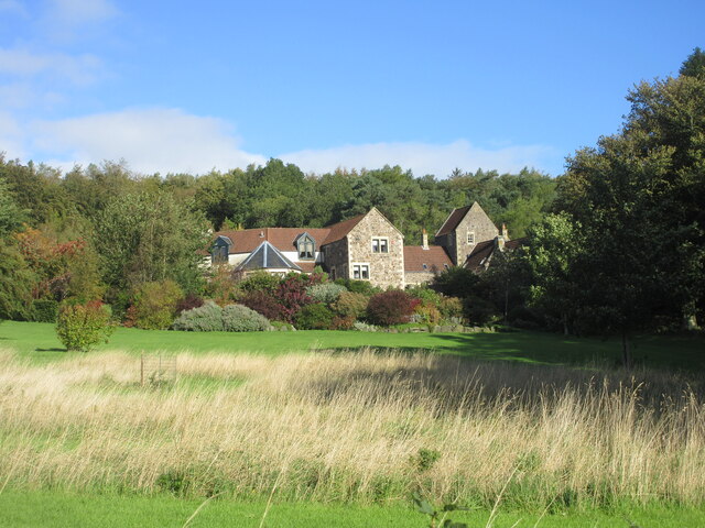
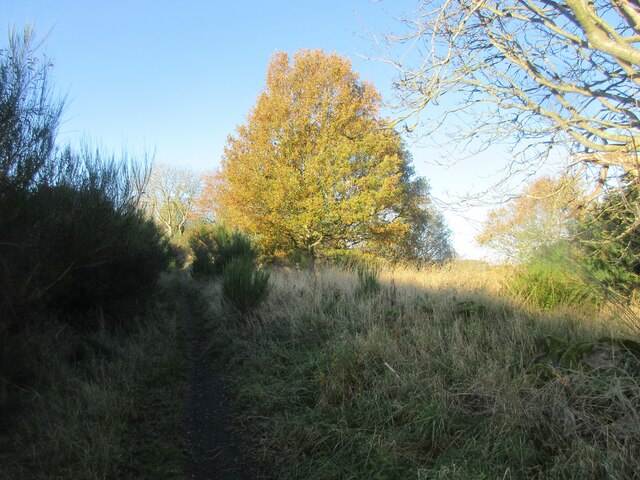
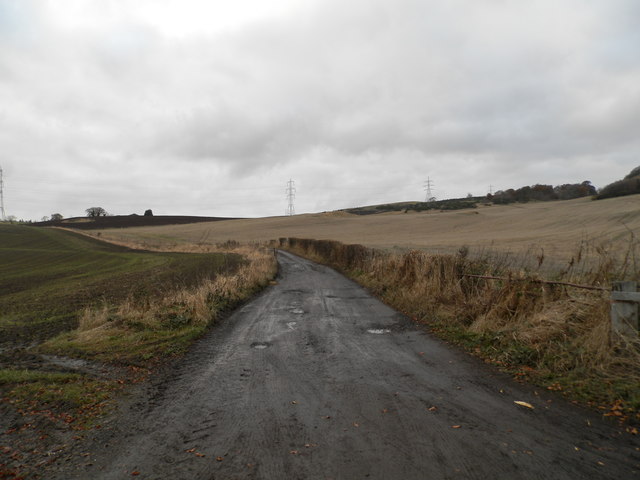
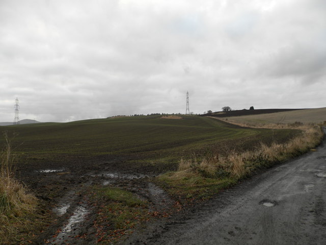
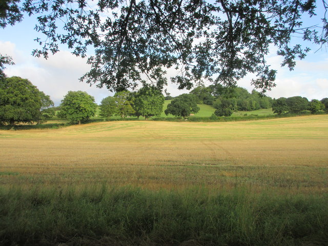
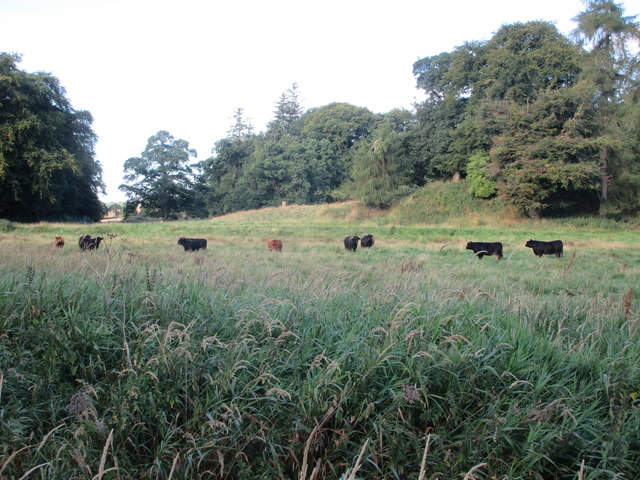
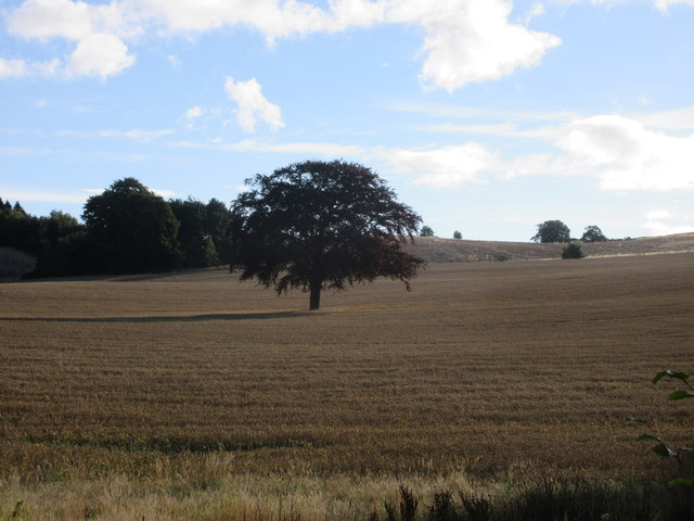
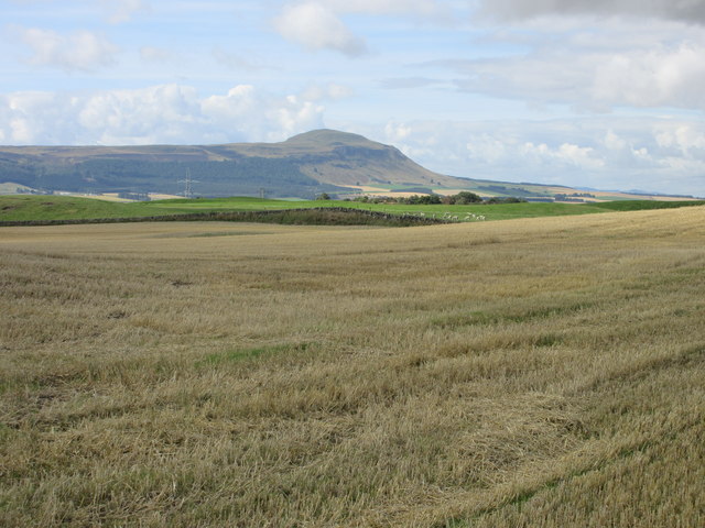
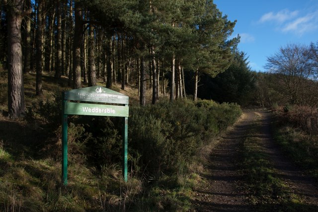
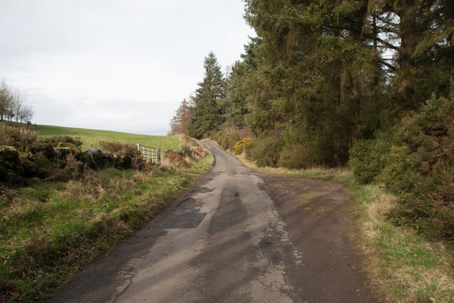
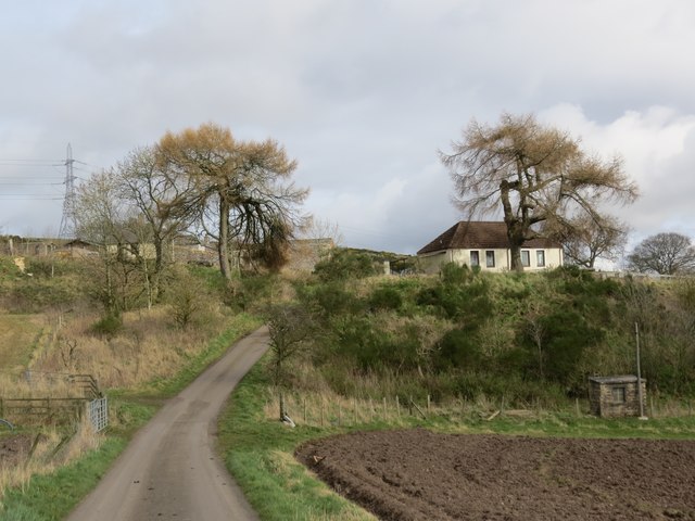
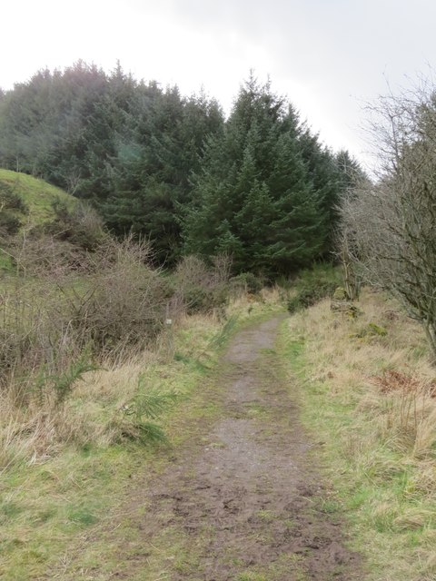
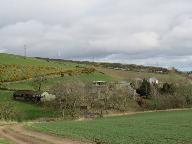
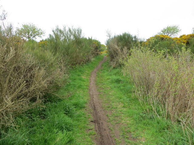
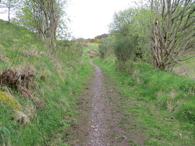
New Farm Strip, located in Fife, Scotland, is a charming woodland area known for its picturesque setting and tranquil atmosphere. Situated within a forested region, the strip is surrounded by lush greenery and tall trees, providing a serene and peaceful environment for visitors.
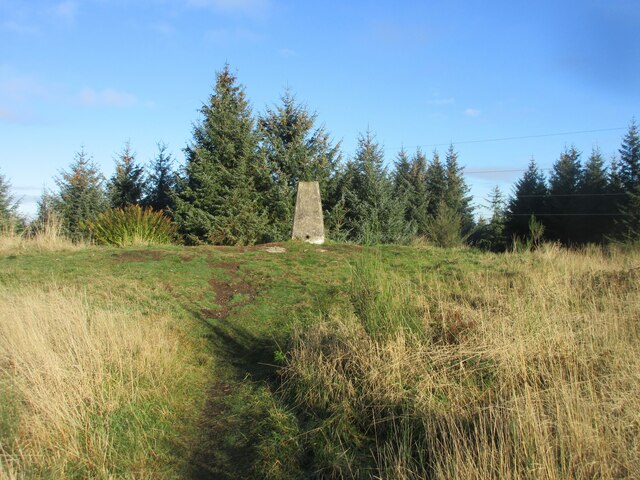
The strip is easily accessible by road and is located just a short distance from the nearby town. It offers a range of recreational activities for nature enthusiasts and those looking to escape the hustle and bustle of city life. Walking trails wind through the area, allowing visitors to explore the woodland and discover its natural beauty.
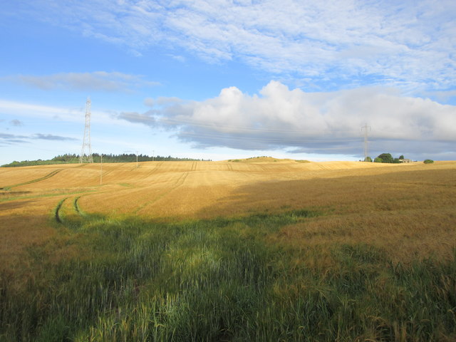
The woodland is home to a diverse range of flora and fauna, with various species of trees, plants, and wildflowers dotting the landscape. Birdwatchers can also enjoy spotting a variety of avian species that inhabit the area.
New Farm Strip provides a perfect setting for outdoor activities such as picnics, family outings, or simply relaxing amidst nature. The peaceful ambiance makes it an ideal spot for meditation or unwinding with a good book. The strip also offers ample space for children to run around and play, making it a great destination for families.
Overall, New Farm Strip in Fife is a hidden gem that offers a tranquil escape into nature. Whether for a leisurely stroll, a family outing, or simply to appreciate the beauty of the Scottish woodlands, this strip provides a delightful experience for visitors of all ages.
If you have any feedback on the listing, please let us know in the comments section below.
New Farm Strip Images
Images are sourced within 2km of 56.316363/-3.2397006 or Grid Reference NO2314. Thanks to Geograph Open Source API. All images are credited.
New Farm Strip is located at Grid Ref: NO2314 (Lat: 56.316363, Lng: -3.2397006)
Unitary Authority: Fife
Police Authority: Fife
What 3 Words
///spooned.producing.samples. Near Auchtermuchty, Fife
Nearby Locations
Related Wikis

MacDuff's Cross
MacDuff's Cross, also known as the Cross of MacDuff or Ninewells, is the remains of an ancient white sandstone monument, located on a historic site between...

Auchtermuchty Town House
Auchtermuchty Town House is a municipal structure in the High Street, Auchtermuchty, Fife, Scotland. The structure, which accommodates the local public...
Auchtermuchty
Auchtermuchty ( ; Scottish Gaelic: Uachdar Mucadaidh, 'upland of the pigs/boar') is a town in Fife, Scotland. It is beside Pitlour Hill and 9 miles (14...

Abdie stone
The Abdie stone is a Class I Pictish stone that stands in Abdie Churchyard, Lindores, Fife, Scotland. == Location == The stone originally stood on the...
Abdie
Abdie is a parish in north-west Fife, Scotland, lying on the south shore of the Firth of Tay on the eastern outskirts of Newburgh, extending about 3 miles...
Glenburnie railway station
Glenburnie railway station was a temporary terminus that served the area of Glenburnie, Fife, Scotland from 1847 to 1848 on the Edinburgh and Northern...
Lindores (E&NR) railway station
Lindores (E&NR) railway station was a temporary terminus that served the village of Lindores, Fife, Scotland in 1847 on the Edinburgh and Northern Railway...

Auchtermuchty railway station
Auchtermuchty railway station served the village of Auchtermuchty, in Fife, Scotland. == History == Opened by the Fife and Kinross Railway, it became part...
Nearby Amenities
Located within 500m of 56.316363,-3.2397006Have you been to New Farm Strip?
Leave your review of New Farm Strip below (or comments, questions and feedback).