Fountain Wood

Wood, Forest in Fife

Scotland

Fountain Wood

Lochmill Loch Lochmill Loch Reservoir from the hillside to the south.
Lochmill Loch Credit: Scott Cormie

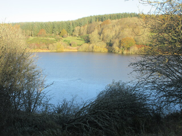
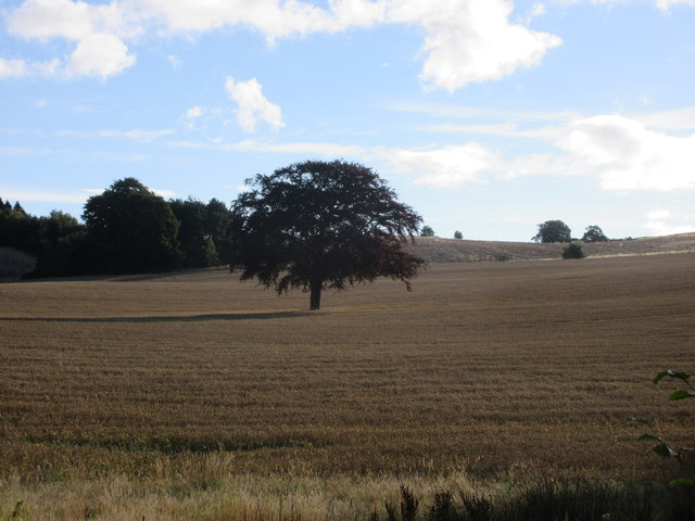
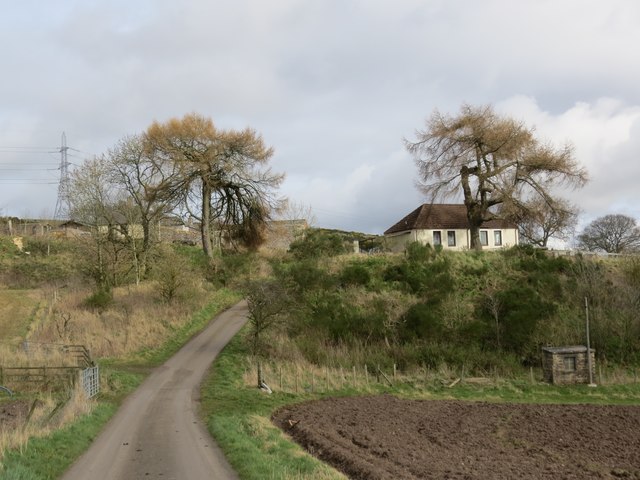
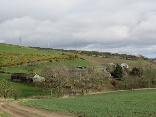
Fountain Wood is a beautiful forest located in the region of Fife, Scotland. Covering an area of approximately 100 acres, this woodland is a popular destination for nature lovers and outdoor enthusiasts. The forest is situated just south of the village of Fountain, near the town of Cupar.

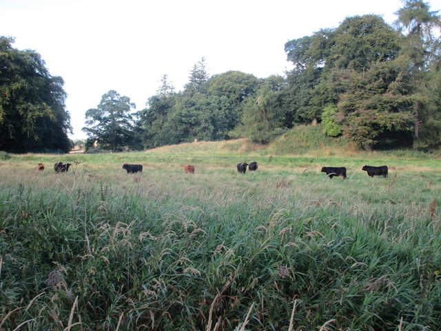
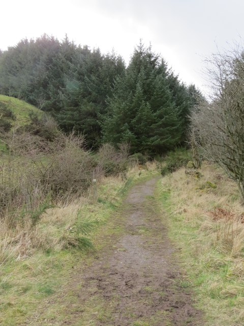
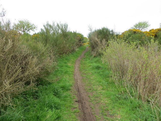
Fountain Wood is characterized by a diverse range of tree species, including oak, beech, birch, and conifers. The dense canopy of trees provides a peaceful and tranquil environment, making it an ideal place for walking, hiking, and exploring. The forest floor is covered with a rich carpet of ferns, mosses, and wildflowers, creating a picturesque landscape.

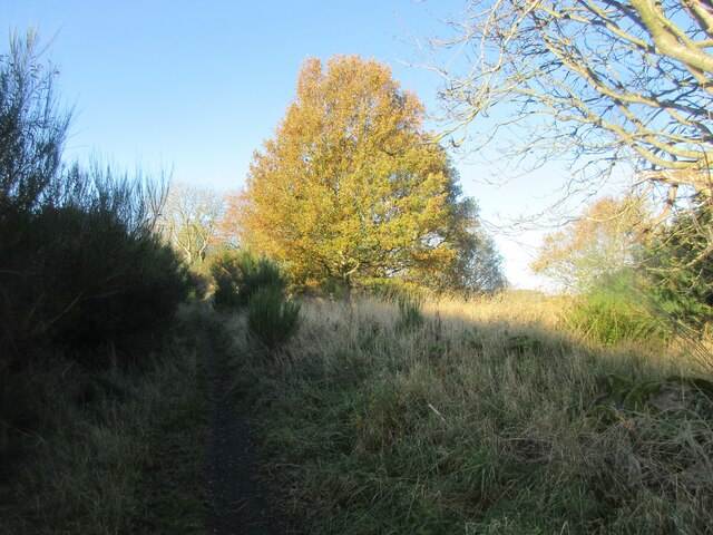
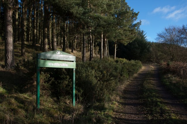
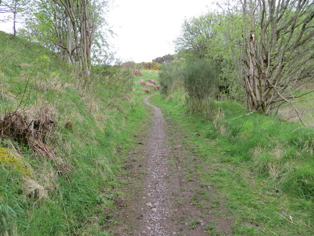
The wood is intersected by several walking trails, allowing visitors to explore its natural beauty. The paths are well-maintained and provide easy access for people of all ages and abilities. As visitors stroll through the forest, they may encounter various wildlife species, such as red squirrels, deer, and a multitude of bird species.

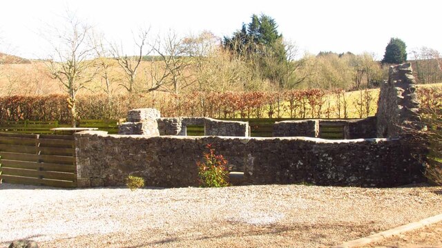
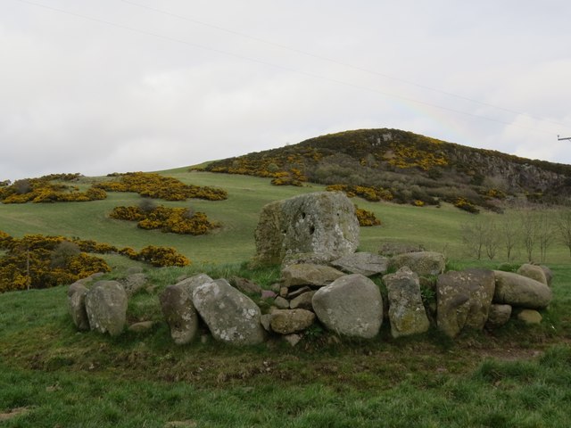
Fountain Wood also has a rich history, with evidence of human activity in the area dating back to prehistoric times. The wood was once part of the estate of the nearby Falkland Palace and has been used for timber production over the centuries. Today, it is managed by the Forestry Commission and is open to the public.

In conclusion, Fountain Wood is a stunning forest in Fife, Scotland, offering a haven of natural beauty and tranquility. With its diverse tree species, well-maintained trails, and abundant wildlife, it is a must-visit destination for nature enthusiasts and those seeking a peaceful retreat.

If you have any feedback on the listing, please let us know in the comments section below.

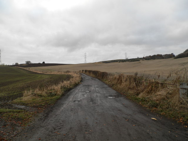
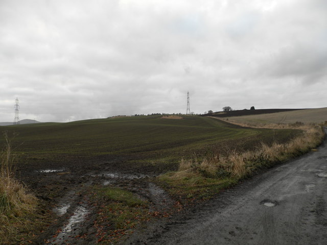
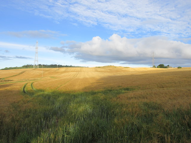
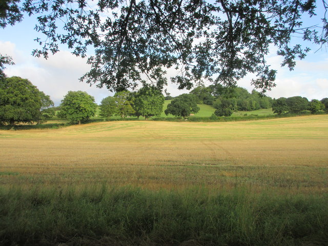
Fountain Wood Images

Images are sourced within 2km of 56.320032/-3.2429239 or Grid Reference NO2314. Thanks to Geograph Open Source API. All images are credited.

Lochmill Loch Lochmill Loch Reservoir from the hillside to the south.
Lochmill Loch
Lochmill Loch Reservoir from the hillside to the south.
Woodland and heathland on the path The path heading up Lumbennie Hill from the east passing through woodland and scrub.
Woodland and heathland on the path
The path heading up Lumbennie Hill from the east passing through woodland and scrub.
Lumbennie Hill Trig Pillar The triangulation pillar on Lumbennie Hill viewed from the south-west.
Lumbennie Hill Trig Pillar
The triangulation pillar on Lumbennie Hill viewed from the south-west.
Remains of  Pitcairlie Toll House Hidden from the B936, but visible from the side road.  Close to the Fife / Perth boundary. Originally served the Pitcairley Turnpike Trust.

Milestone Society National ID: FF.PIT
Remains of Pitcairlie Toll House
Hidden from the B936, but visible from the side road. Close to the Fife / Perth boundary. Originally served the Pitcairley Turnpike Trust. Milestone Society National ID: FF.PIT
Track to Easter Colzie
Ploughed field at Easter Colzie
Field at Colzie Barley field near Easter Colzie.
Field at Colzie
Barley field near Easter Colzie.
Field near Pitcairlie Field on the lower slope of Gowk Hill, south of Pitcairlie.
Field near Pitcairlie
Field on the lower slope of Gowk Hill, south of Pitcairlie.
Cattle at Pitcairlie Horned cattle near the roadside at Pitcairlie.
Cattle at Pitcairlie
Horned cattle near the roadside at Pitcairlie.
Tree in a field Copper beech in the middle of a wheat field east of the B936.
Tree in a field
Copper beech in the middle of a wheat field east of the B936.
Sign at Weddersbie Forest
Pylons, Lumbennie Hill After a long walk I was disheartened to see what lay before me if I wanted to reach Lumbennie Hill trigpoint. I decided to leave it for another day!
Pylons, Lumbennie Hill
After a long walk I was disheartened to see what lay before me if I wanted to reach Lumbennie Hill trigpoint. I decided to leave it for another day!
Macduff's Cross With Fincraig quarry in the background. Only the pedestal now remains of this former cross, thought to date from before 1059. For more information, visit <span class="nowrap"><a title="https://en.wikipedia.org/wiki/MacDuff%27s_Cross" rel="nofollow ugc noopener" href="https://en.wikipedia.org/wiki/MacDuff%27s_Cross">Link</a><img style="margin-left:2px;" alt="External link" title="External link - shift click to open in new window" src="https://s1.geograph.org.uk/img/external.png" width="10" height="10"/></span>.
Macduff's Cross
With Fincraig quarry in the background. Only the pedestal now remains of this former cross, thought to date from before 1059. For more information, visit LinkExternal link.
Approaching Pitmedden Farm
Path through Pitmedden Forest The path was strewn with mating toads at the time of my visit, making it difficult to find safe footfall.
Path through Pitmedden Forest
The path was strewn with mating toads at the time of my visit, making it difficult to find safe footfall.
Approaching Raemore Farm
Path to Lumbennie Hill at Baw Hills Looking westward.
Path to Lumbennie Hill at Baw Hills
Looking westward.
Path to Lumbennie Hill at Craigdownie Looking south-westward.
Path to Lumbennie Hill at Craigdownie
Looking south-westward.
Show me another place!

Fountain Wood is located at Grid Ref: NO2314 (Lat: 56.320032, Lng: -3.2429239)

Unitary Authority: Fife

Police Authority: Fife

What 3 Words

///spires.voter.breathing. Near Auchtermuchty, Fife

Related Wikis

MacDuff's Cross

MacDuff's Cross, also known as the Cross of MacDuff or Ninewells, is the remains of an ancient white sandstone monument, located on a historic site between...

Glenburnie railway station

Glenburnie railway station was a temporary terminus that served the area of Glenburnie, Fife, Scotland from 1847 to 1848 on the Edinburgh and Northern...
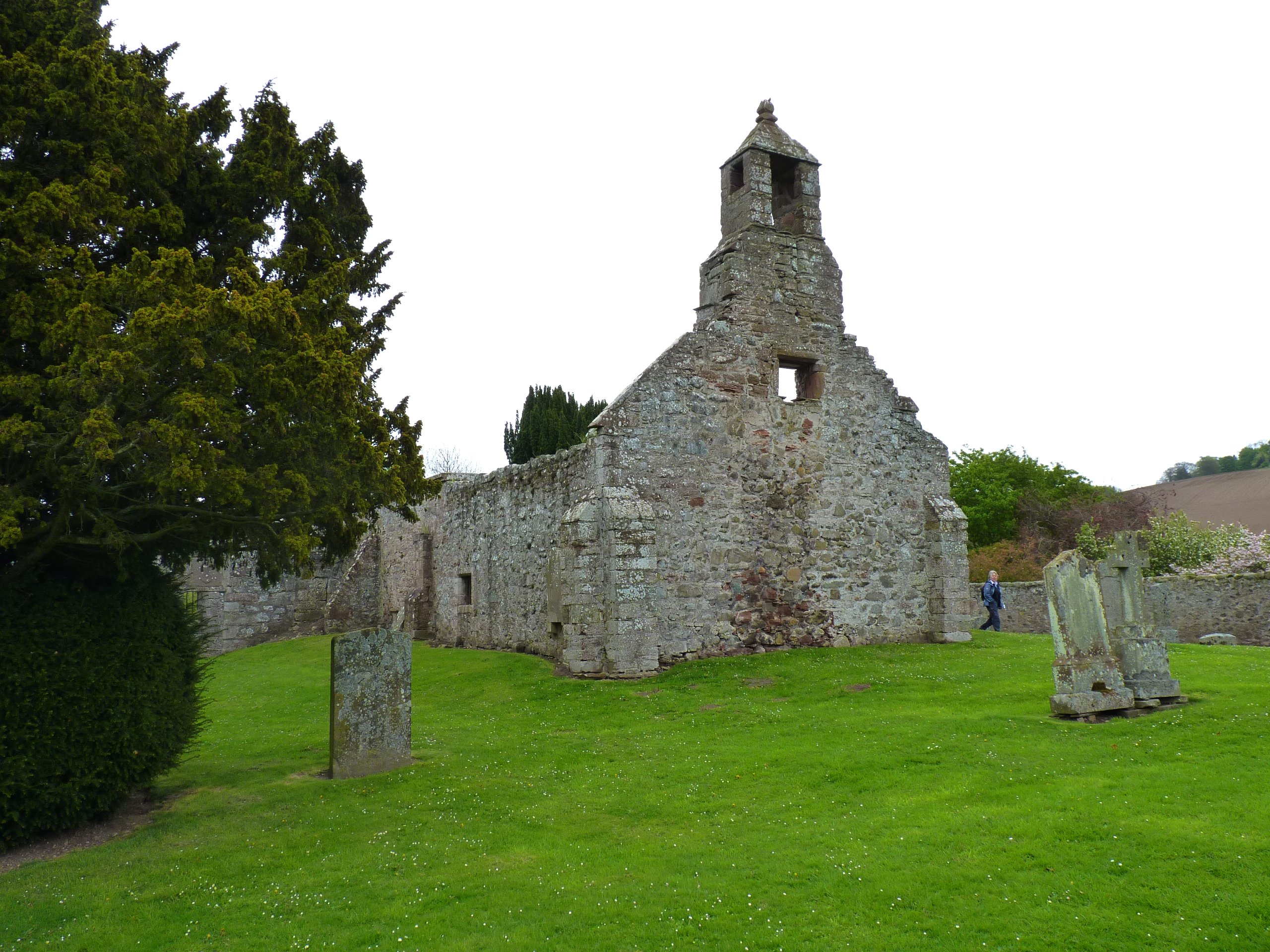
Abdie stone

The Abdie stone is a Class I Pictish stone that stands in Abdie Churchyard, Lindores, Fife, Scotland. == Location == The stone originally stood on the...

Abdie

Abdie is a parish in north-west Fife, Scotland, lying on the south shore of the Firth of Tay on the eastern outskirts of Newburgh, extending about 3 miles...

Clatchard Craig

The fort of Clatchard Craig was located on a hill of the same name by the Tay. A human presence on the site has been identified from the neolithic period...

Lindores (E&NR) railway station

Lindores (E&NR) railway station was a temporary terminus that served the village of Lindores, Fife, Scotland in 1847 on the Edinburgh and Northern Railway...

Newburgh railway station

See also Parbold railway station which was originally named "Newburgh railway station". There have been several railway stations serving the town of Newburgh...
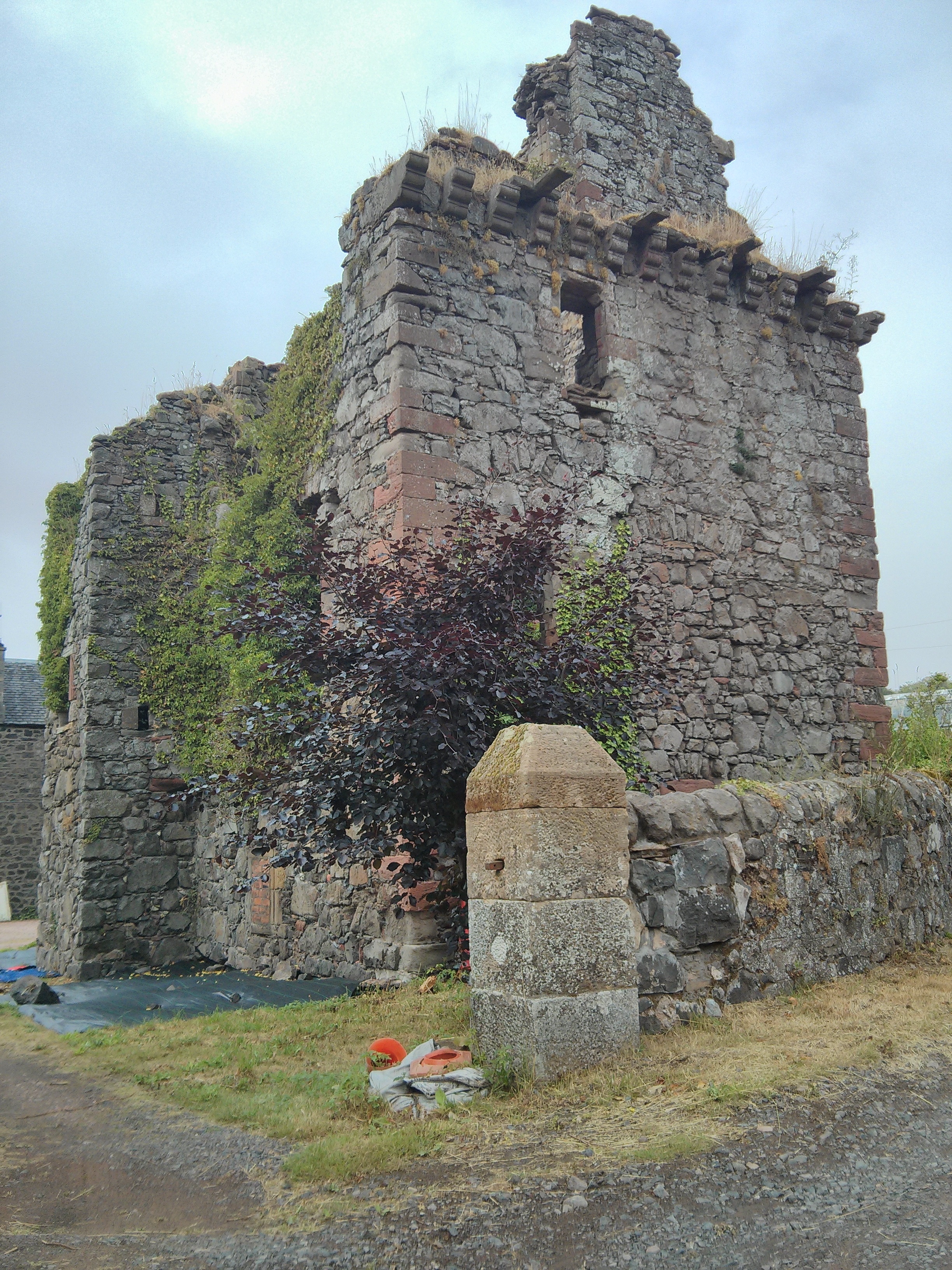
Denmylne Castle

Denmylne Castle is a ruined 16th-century tower house, about 1 mile (1.6 km) south east of Newburgh, Fife, Fife, Scotland, and 1 mile (1.6 km) north west...

Nearby Amenities

Located within 500m of 56.320032,-3.2429239
Power: pole
Lat/Long: 56.3157443/-3.24502
Power: pole
Lat/Long: 56.3162065/-3.2451977
Power: pole
Lat/Long: 56.3167284/-3.2454004
Power: pole
Lat/Long: 56.3174057/-3.2456556
Power: pole
Lat/Long: 56.318047/-3.2458934
Power: pole
Lat/Long: 56.3184592/-3.2460536
Power: pole
Lat/Long: 56.3191185/-3.2463063
Power: pole
Lat/Long: 56.3194224/-3.245951
Power: pole
Lat/Long: 56.3200761/-3.2451952
Power: pole
Lat/Long: 56.3208963/-3.2442391
Power: pole
Lat/Long: 56.3215084/-3.2435634
Power: pole
Lat/Long: 56.322101/-3.2429653
Power: pole
Lat/Long: 56.322638/-3.2424572
Power: pole
Lat/Long: 56.3232084/-3.2419317
Power: pole
Lat/Long: 56.3237496/-3.2414111
The data included in this document is from www.openstreetmap.org. The data is made available under ODbL.

Have you been to Fountain Wood?

Leave your review of Fountain Wood below (or comments, questions and feedback).