Gowk Wood

Wood, Forest in Fife

Scotland

Gowk Wood

Lochmill Loch Lochmill Loch Reservoir from the hillside to the south.
Lochmill Loch Credit: Scott Cormie

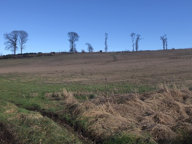
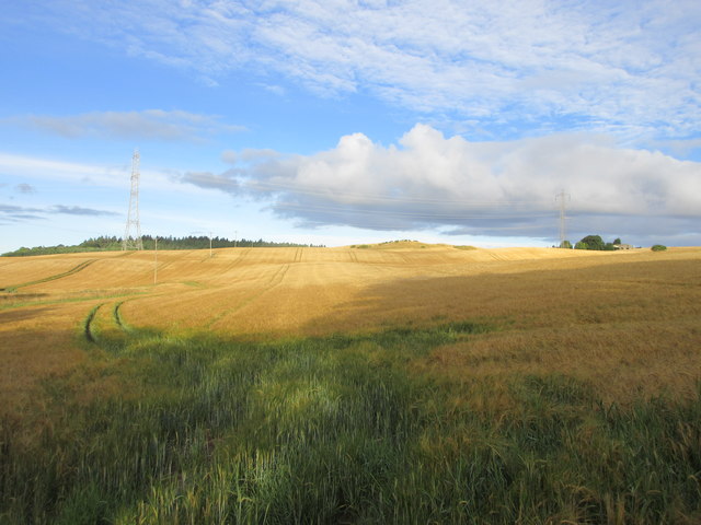
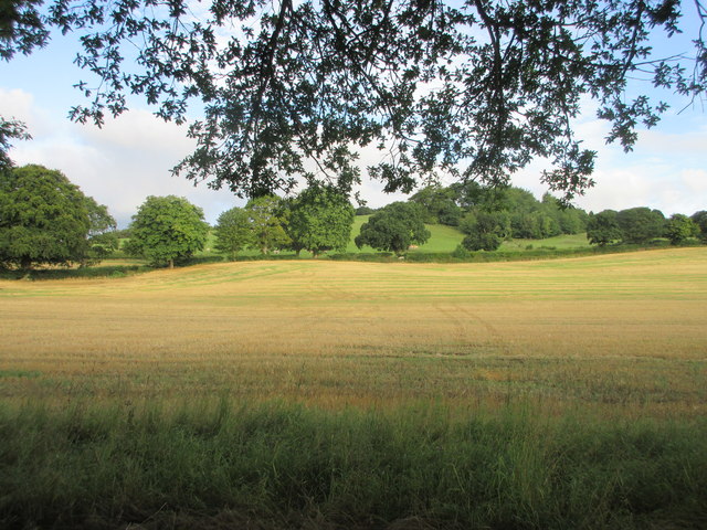
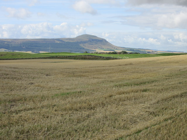
Gowk Wood is a scenic forest located in the county of Fife, Scotland. Covering an area of approximately 200 acres, it is a popular destination for nature enthusiasts, hikers, and wildlife lovers. The wood is situated near the village of Luthrie, about 8 miles northwest of the town of Cupar.

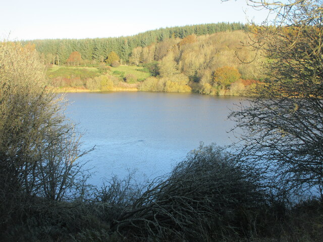
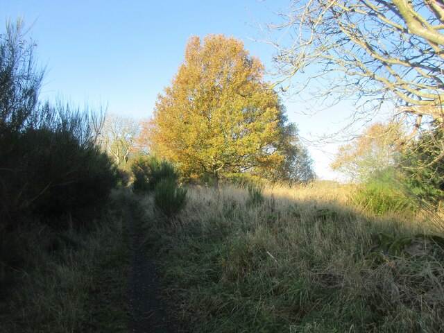
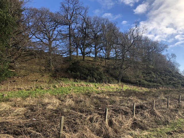
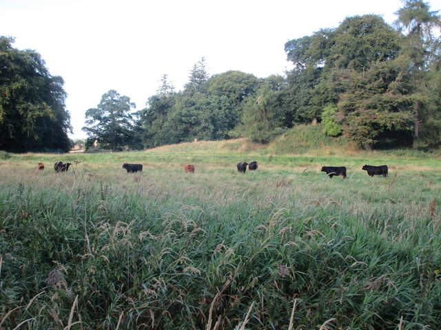
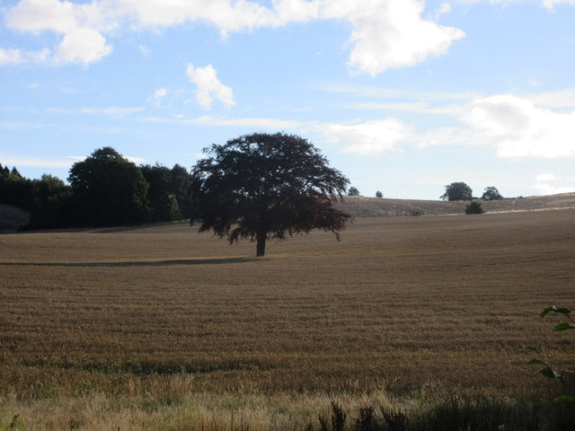
The woodland is predominantly composed of mixed broadleaf trees, including oak, birch, and beech, creating a diverse and picturesque landscape. The dense canopy provides shade and shelter, making it an ideal habitat for a variety of wildlife, such as deer, foxes, and numerous bird species.

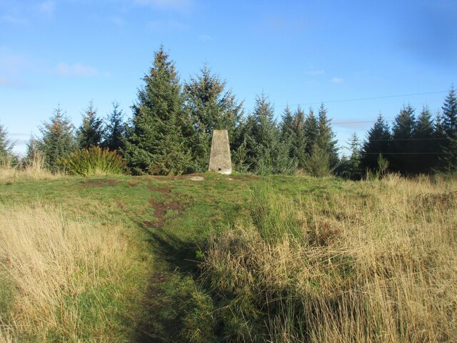
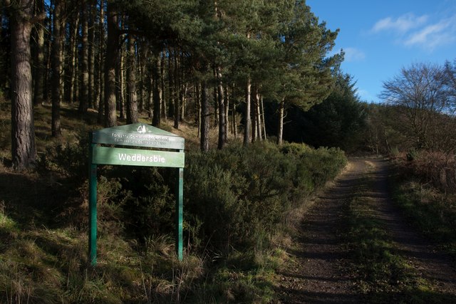
Gowk Wood offers a network of well-maintained trails that wind through the forest, allowing visitors to explore its natural beauty. These paths cater to different abilities, from leisurely walks to more challenging hikes. Along the way, walkers can enjoy breathtaking views of the surrounding countryside, including the nearby Lomond Hills.

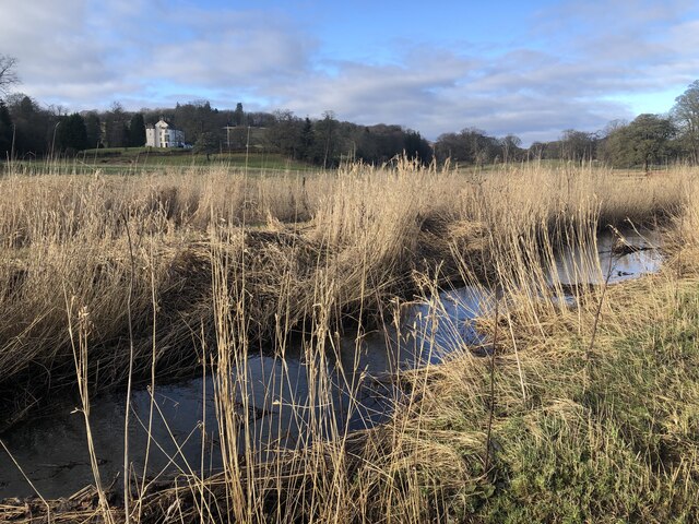
The forest also features a small pond, providing a tranquil spot for picnics or a moment of reflection. Additionally, there are several designated picnic areas with benches dotted throughout the wood, allowing visitors to pause and take in the peaceful ambiance.

Gowk Wood is managed by the local forestry commission, ensuring that it remains a well-preserved and accessible natural resource for the community and visitors alike. With its picturesque scenery and diverse wildlife, the wood offers a serene escape from the hustle and bustle of everyday life.

If you have any feedback on the listing, please let us know in the comments section below.
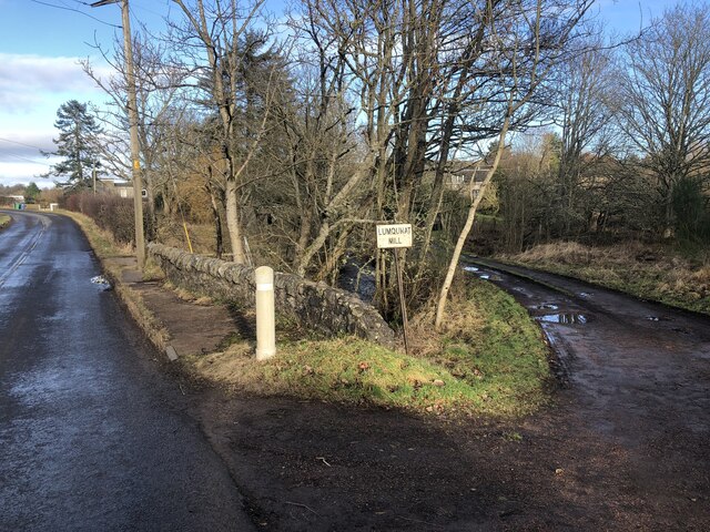
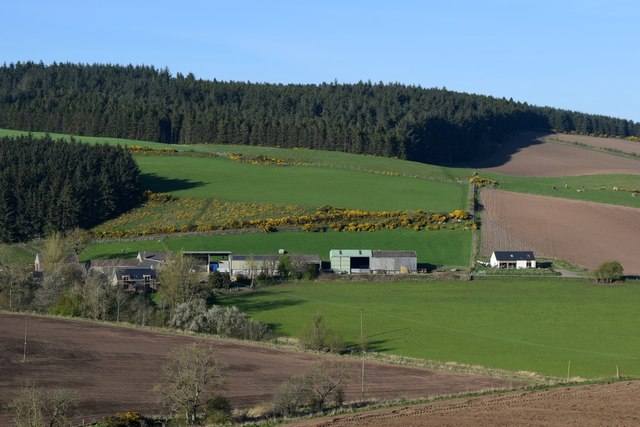
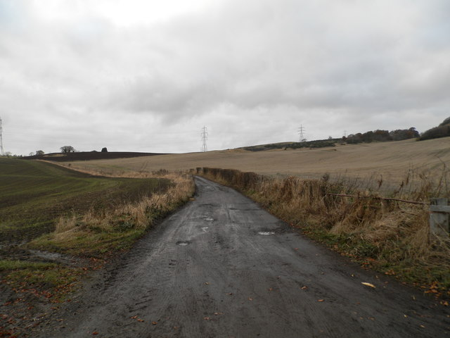
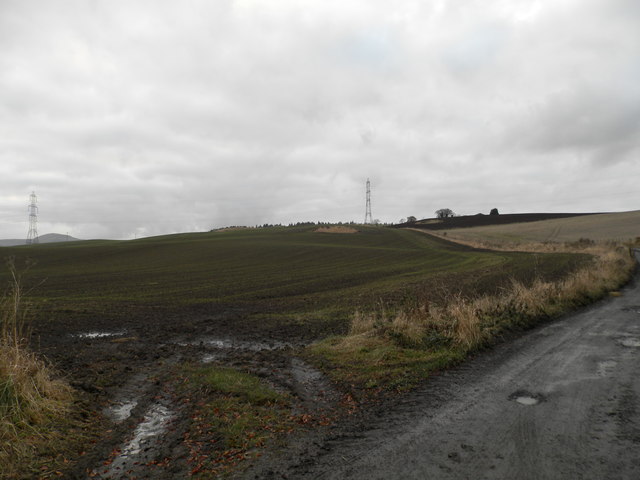
Gowk Wood Images

Images are sourced within 2km of 56.318544/-3.2399815 or Grid Reference NO2314. Thanks to Geograph Open Source API. All images are credited.

Lochmill Loch Lochmill Loch Reservoir from the hillside to the south.
Lochmill Loch
Lochmill Loch Reservoir from the hillside to the south.
Woodland and heathland on the path The path heading up Lumbennie Hill from the east passing through woodland and scrub.
Woodland and heathland on the path
The path heading up Lumbennie Hill from the east passing through woodland and scrub.
Lumbennie Hill Trig Pillar The triangulation pillar on Lumbennie Hill viewed from the south-west.
Lumbennie Hill Trig Pillar
The triangulation pillar on Lumbennie Hill viewed from the south-west.
Remains of  Pitcairlie Toll House Hidden from the B936, but visible from the side road.  Close to the Fife / Perth boundary. Originally served the Pitcairley Turnpike Trust.

Milestone Society National ID: FF.PIT
Remains of Pitcairlie Toll House
Hidden from the B936, but visible from the side road. Close to the Fife / Perth boundary. Originally served the Pitcairley Turnpike Trust. Milestone Society National ID: FF.PIT
Grange Strip Remains of a strip wood on the skyline.
Grange Strip
Remains of a strip wood on the skyline.
Pothole, B936 This is turning out to be an exceptional pothole season, one of the more obvious phenomena associated with the rapid decay of just about everything during this time.  

Or a Barbapapa murder scene?
Pothole, B936
This is turning out to be an exceptional pothole season, one of the more obvious phenomena associated with the rapid decay of just about everything during this time. Or a Barbapapa murder scene?
Pitcairlie Burn Very close to the road with attractive reedbeds.
Pitcairlie Burn
Very close to the road with attractive reedbeds.
Thornybrae Oakwood on a steep stope. Further up the hill there is a biggish conifer plantation.
Thornybrae
Oakwood on a steep stope. Further up the hill there is a biggish conifer plantation.
Bridge, Lumquhat Mill B936 crossing the Pitcairlie Burn.
Bridge, Lumquhat Mill
B936 crossing the Pitcairlie Burn.
Long-distance view of Raemore Farm
Track to Easter Colzie
Ploughed field at Easter Colzie
Field at Colzie Barley field near Easter Colzie.
Field at Colzie
Barley field near Easter Colzie.
Field near Pitcairlie Field on the lower slope of Gowk Hill, south of Pitcairlie.
Field near Pitcairlie
Field on the lower slope of Gowk Hill, south of Pitcairlie.
Cattle at Pitcairlie Horned cattle near the roadside at Pitcairlie.
Cattle at Pitcairlie
Horned cattle near the roadside at Pitcairlie.
Tree in a field Copper beech in the middle of a wheat field east of the B936.
Tree in a field
Copper beech in the middle of a wheat field east of the B936.
Towards Auchtermuchty Common Looking over a field with Auchtermuchty Common in the distance along with West Lomond.
Towards Auchtermuchty Common
Looking over a field with Auchtermuchty Common in the distance along with West Lomond.
Sign at Weddersbie Forest
Show me another place!

Gowk Wood is located at Grid Ref: NO2314 (Lat: 56.318544, Lng: -3.2399815)

Unitary Authority: Fife

Police Authority: Fife

What 3 Words

///called.liquid.leaves. Near Auchtermuchty, Fife

Related Wikis

MacDuff's Cross

MacDuff's Cross, also known as the Cross of MacDuff or Ninewells, is the remains of an ancient white sandstone monument, located on a historic site between...

Glenburnie railway station

Glenburnie railway station was a temporary terminus that served the area of Glenburnie, Fife, Scotland from 1847 to 1848 on the Edinburgh and Northern...

Abdie stone

The Abdie stone is a Class I Pictish stone that stands in Abdie Churchyard, Lindores, Fife, Scotland. == Location == The stone originally stood on the...

Abdie

Abdie is a parish in north-west Fife, Scotland, lying on the south shore of the Firth of Tay on the eastern outskirts of Newburgh, extending about 3 miles...

Nearby Amenities

Located within 500m of 56.318544,-3.2399815
Power: pole
Lat/Long: 56.3149656/-3.2447372
Power: pole
Lat/Long: 56.3157443/-3.24502
Power: pole
Lat/Long: 56.3162065/-3.2451977
Power: pole
Lat/Long: 56.3167284/-3.2454004
Power: pole
Lat/Long: 56.3174057/-3.2456556
Power: pole
Lat/Long: 56.318047/-3.2458934
Power: pole
Lat/Long: 56.3184592/-3.2460536
Power: pole
Lat/Long: 56.3191185/-3.2463063
Power: pole
Lat/Long: 56.3194224/-3.245951
Power: pole
Lat/Long: 56.3200761/-3.2451952
Power: pole
Lat/Long: 56.3208963/-3.2442391
Power: pole
Lat/Long: 56.3215084/-3.2435634
Power: pole
Lat/Long: 56.322101/-3.2429653
Power: pole
Lat/Long: 56.322638/-3.2424572
The data included in this document is from www.openstreetmap.org. The data is made available under ODbL.

Have you been to Gowk Wood?

Leave your review of Gowk Wood below (or comments, questions and feedback).