Black Wood
Wood, Forest in Peeblesshire
Scotland
Black Wood
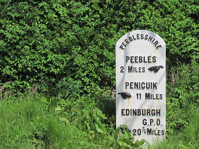
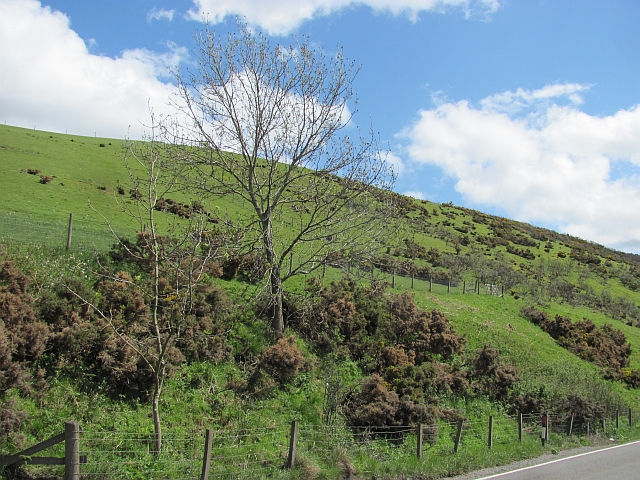
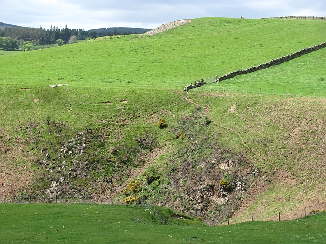
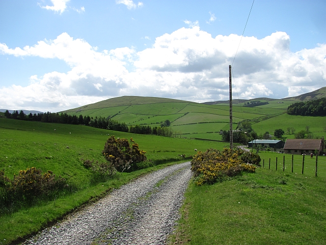
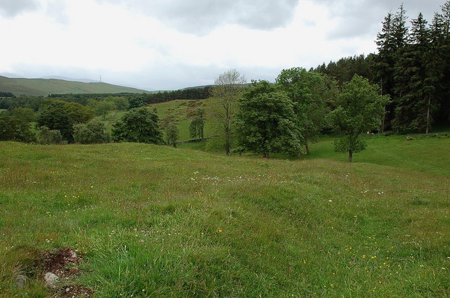
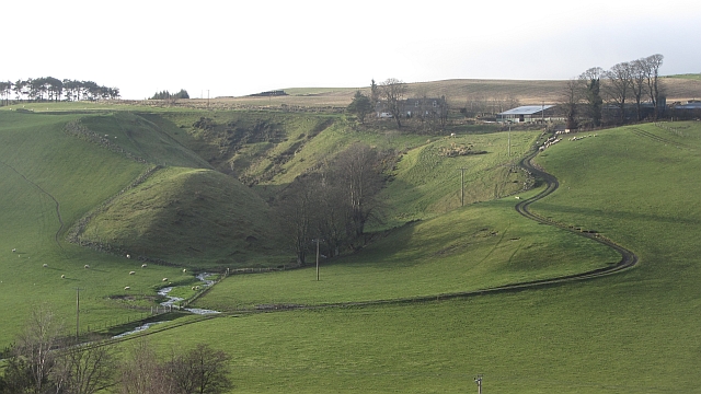
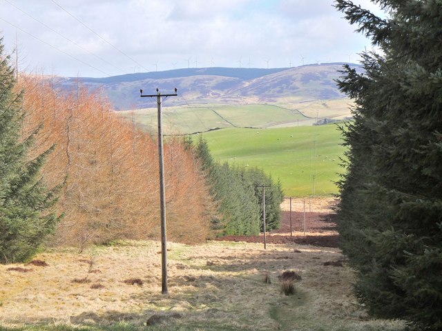
Black Wood is a picturesque forest located in Peeblesshire, Scotland. Situated near the town of Peebles, the wood covers an area of approximately 300 acres and is renowned for its natural beauty and diverse wildlife.
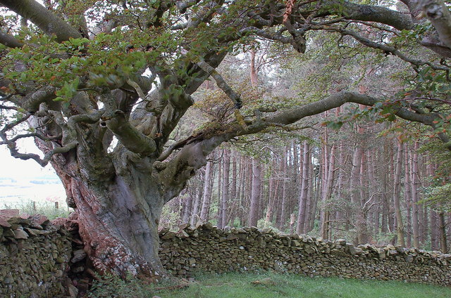
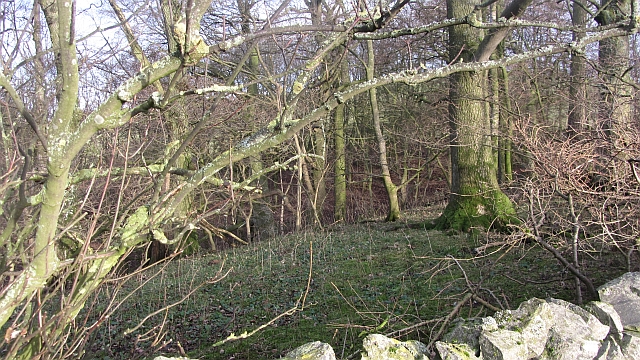
The forest mainly consists of deciduous trees, such as oak, birch, and beech, which create a stunning canopy throughout the year. The wood gets its name from the dark color of the bark on these trees, giving it a unique and enchanting ambiance. The forest floor is covered with a thick layer of moss, adding to its mystical charm.
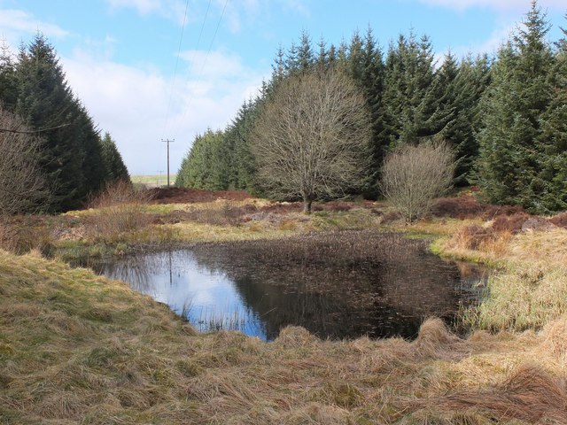
Black Wood is a haven for nature enthusiasts and offers a wide range of outdoor activities. Visitors can explore the network of well-marked trails that wind through the forest, providing opportunities for walking, hiking, and cycling. The wood is also home to various species of birds, making it a popular spot for birdwatching.
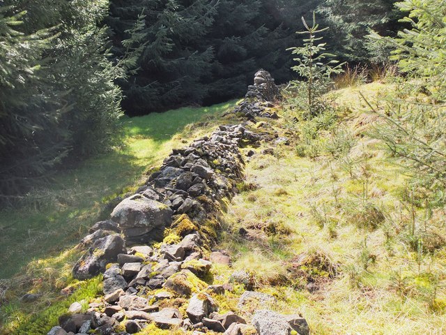
In addition to its natural beauty, Black Wood has a rich history. The forest was once part of the hunting grounds of the Scottish nobility and still contains remnants of ancient hunting lodges and deer parks. Exploring the wood, visitors can stumble upon these historical relics, providing a glimpse into the area's past.
Overall, Black Wood in Peeblesshire is a captivating forest that offers a tranquil escape into nature. With its stunning trees, abundant wildlife, and historical significance, it is a must-visit destination for both locals and tourists seeking a peaceful retreat.
If you have any feedback on the listing, please let us know in the comments section below.
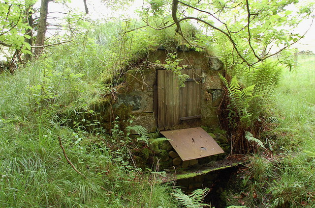
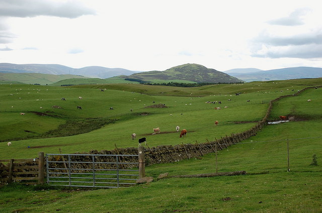
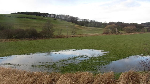
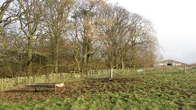
Black Wood Images
Images are sourced within 2km of 55.689525/-3.2248134 or Grid Reference NT2344. Thanks to Geograph Open Source API. All images are credited.

Black Wood is located at Grid Ref: NT2344 (Lat: 55.689525, Lng: -3.2248134)
Unitary Authority: The Scottish Borders
Police Authority: The Lothians and Scottish Borders
What 3 Words
///estuaries.third.grunt. Near Peebles, Scottish Borders
Nearby Locations
Related Wikis
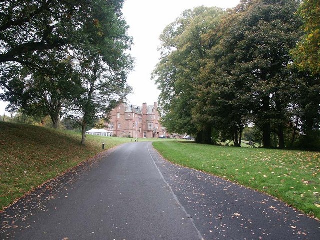
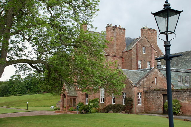
Cringletie
Cringletie is a Scottish Baronial house by the Eddleston Water, around 3 kilometres (1.9 mi) south of Eddleston in the Scottish Borders area of Scotland...

Redscarhead
Redscarhead is a village in the Scottish Borders area of Scotland, off the A703, by the Eddleston Water, and close to Cringletie. In the village is a memorial...

Milkieston Rings
Milkieston Rings is a prehistoric site, a hillfort near the village of Eddleston and about 3 miles (5 km) north of Peebles, in the Scottish Borders, Scotland...

White Meldon
White Meldon is a prehistoric site, a hillfort near the village of Lyne and about 4 miles (6 km) west of Peebles, in the Scottish Borders, Scotland. It...
Nearby Amenities
Located within 500m of 55.689525,-3.2248134Have you been to Black Wood?
Leave your review of Black Wood below (or comments, questions and feedback).